Pacific Desert: Tracing The Remote Outer Coast of Mexico’s Baja California
A Southbound Passage where The wild ocean kisses Desert shores
After months spent tracing the rugged edges of Alaska and following the long spine of the West Coast south, our course continued to bend towards Mexico. The landscapes we had grown accustomed to… Dense forests, cold waters, and towering cliffs began to loosen their hold, giving way to something drier, quieter, more expansive. Crossing the border by sea felt less like an arrival and more like a continuation of motion, a gradual unfolding into a coastline that would reveal itself not all at once, but in long, wind-shaped stretches. What followed was our passage down the outer coast of Baja California & Baja California Sur, Mexico.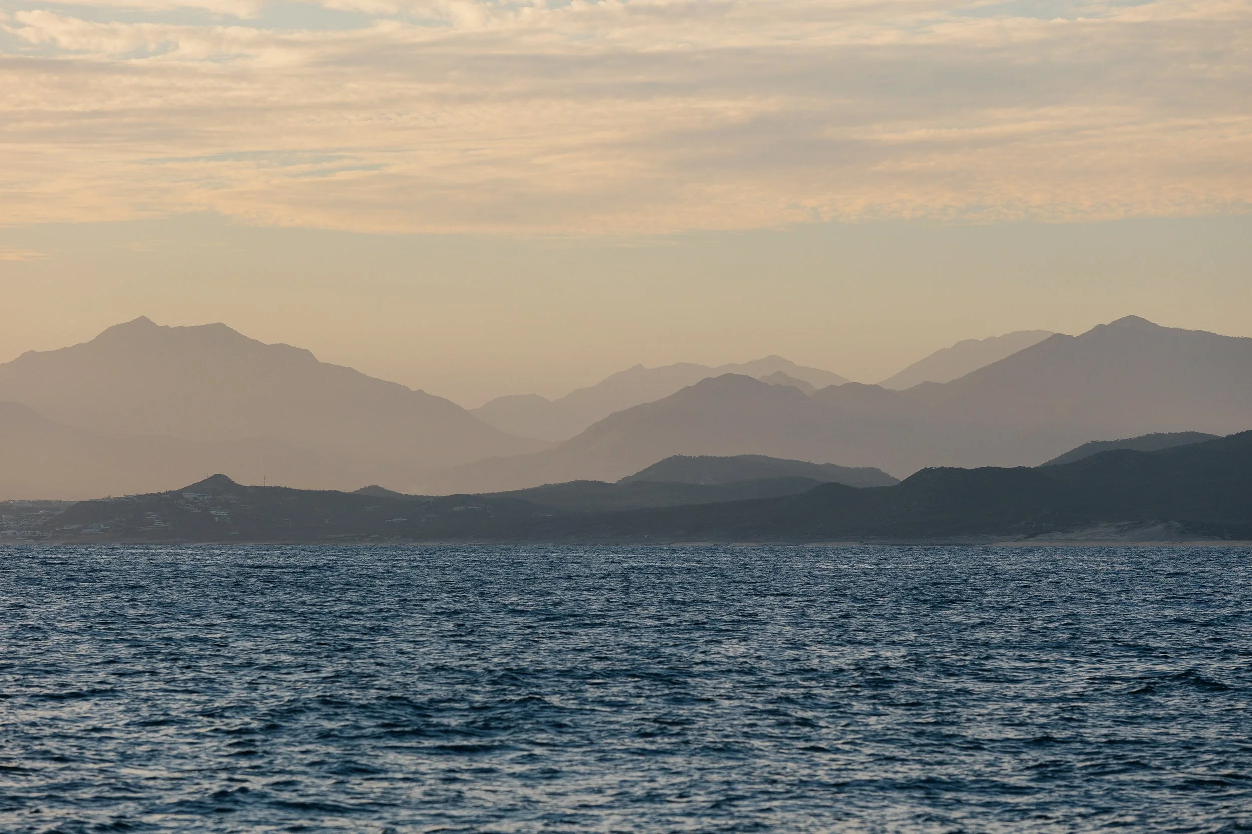
Baja’s Sea of Cortez
Benito del Oeste lighthouse
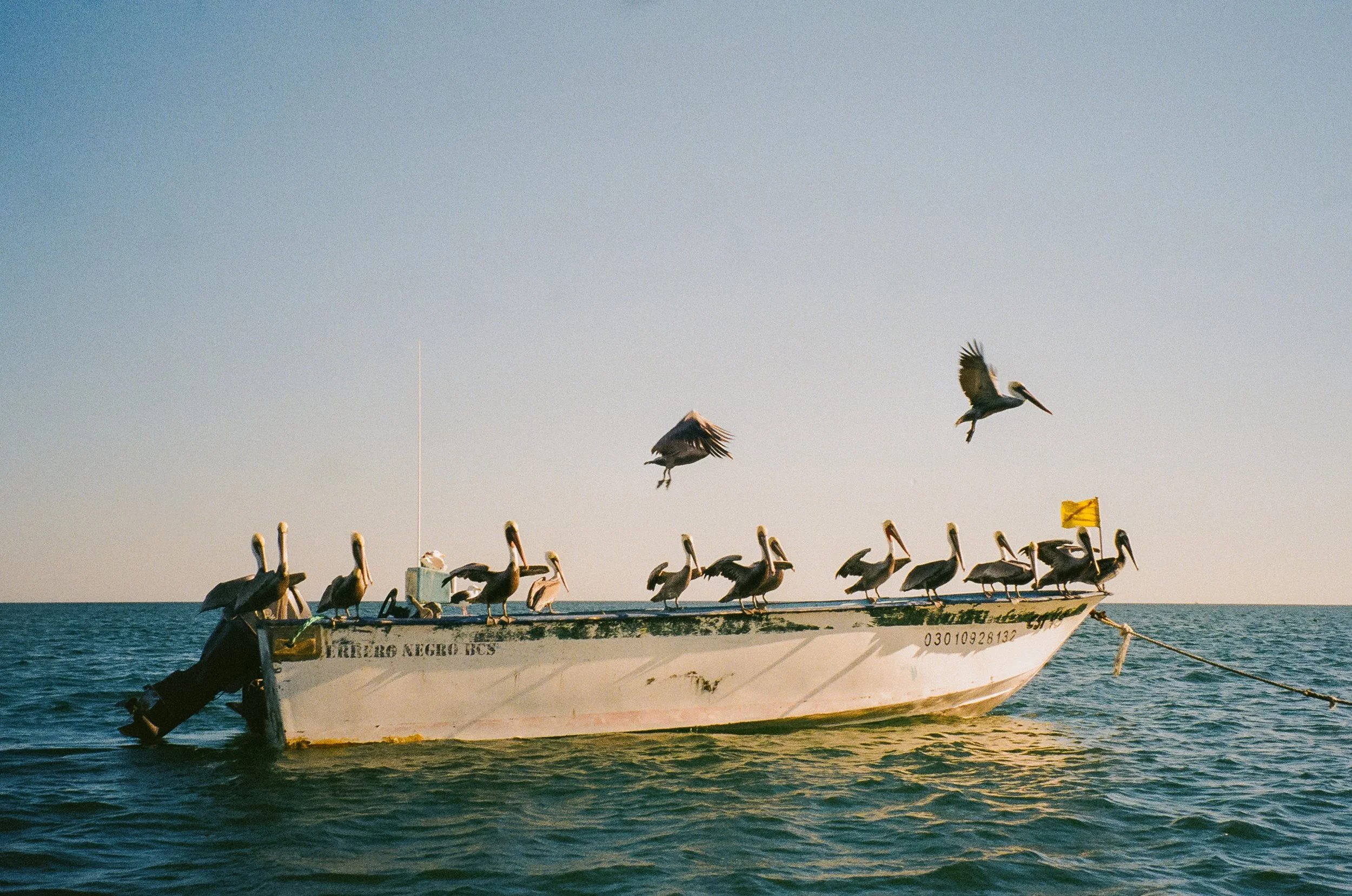
Pelicn a fishing ponga in Bahía Asunción
Crossing the Threshold from San Diego to Ensenada
With the first few days of December upon us, our impending transit to Mexico was at hand. After spending a very comfortable few days as guests at Silver Gate Yacht Club near San Diego, we slipped our lines in the quiet company of evening light. Departing Shelter Island, we waved goodbye to my mother standing there as the last tether to land. Goodbyes at sea are never abrupt, they stretch, linger, dissolve slowly, like the coastline itself. As we cleared the harbor and passed Point Loma, the sun fell low and wide across the Pacific, setting the San Diego skyline ablaze in washes of rose and violet. The city softened into silhouette, then into memory. Behind us, land, and ahead, only the dark horizon.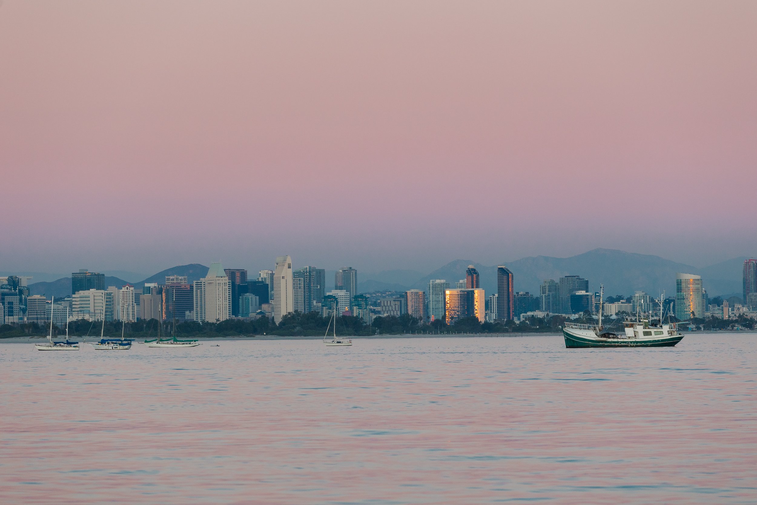
Departing San Diego
We sailed through the early evening and crossed into Mexican waters just shy of midnight, threading between the Islas Coronados North and South Islands in the dead of night. Our first landfall came quickly the next morning, entering the port of Ensenada unsure of the choreography required to step officially into a new country. It had been since 2010 since Louie had entered Mexico by boat, and he remembered there being plenty of papers, stamps, and offices, we arrived unsure of how and where exactly to proceed.Fortunately, we were joined by an old friend of Louie’s who had been on that very sailing trip with him, a seasoned sailor and longtime resident of Mexico City, whose fluency (both linguistic and cultural) would become our compass ashore for the next two weeks as we sailed down the outer coast. A harbor patrol boat hailed us and led us, somewhat ceremoniously, to the Baja Naval dock. And there, as if conjured by coincidence, sat S/V Amaryllis. It was the second time our paths had crossed at a customs dock, the first time when we transited through Canada... an odd and reassuring rhythm to the journey we were pursuing ahead.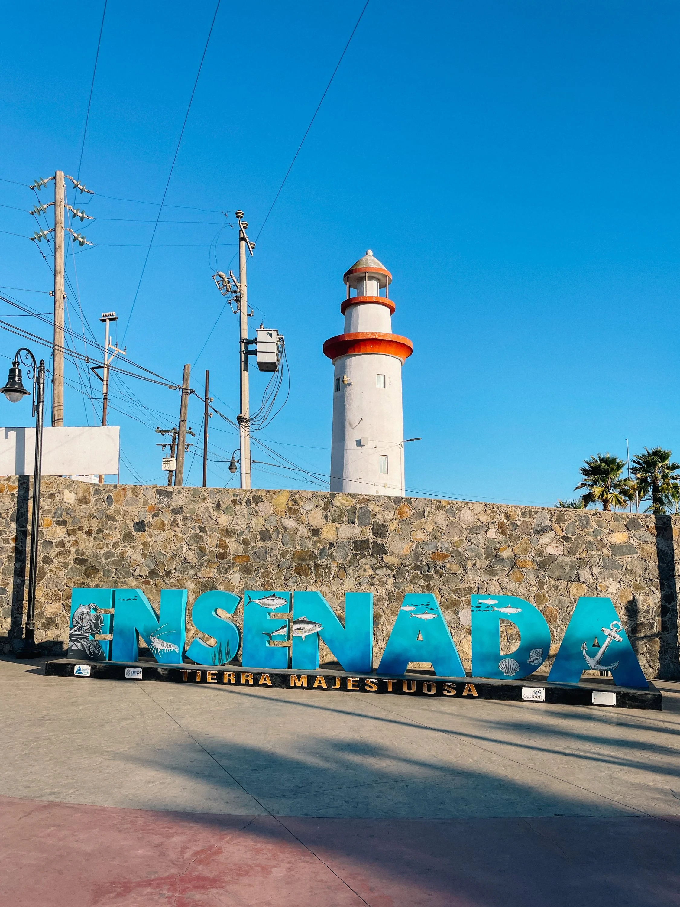
Ensenada, Baja California, Mexico
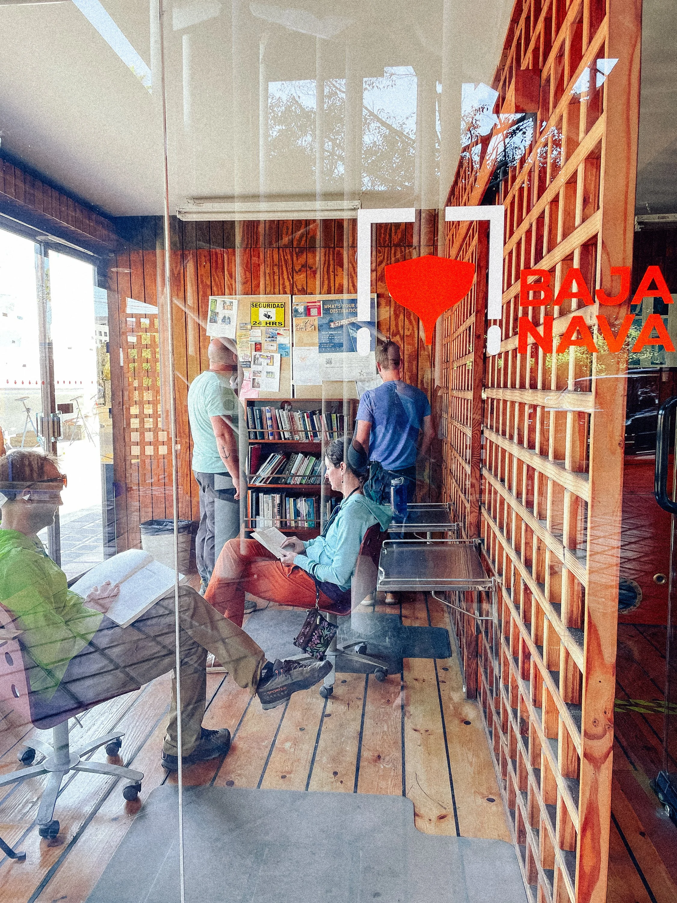
Awaiting Customs at Baja Naval
At the dock at Baja Naval
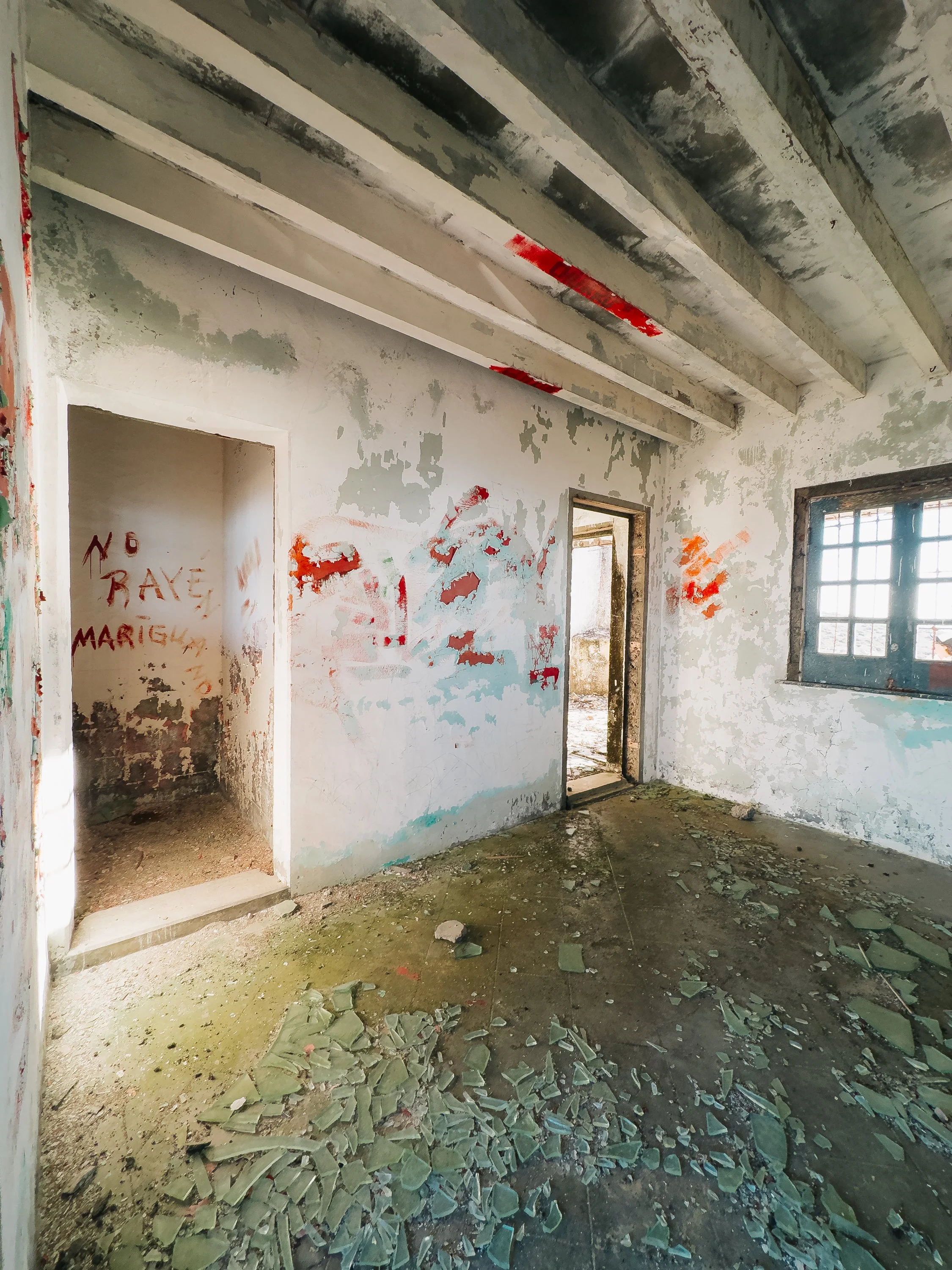
What followed was less a process and more a pilgrimage. Over the course of nearly twenty-four hours, we moved between customs offices undergoing paperwork, collecting stamps like relics, navigating lunch breaks, early closures, and the peculiar logic of bureaucracy. At one point, we were turned away minutes before closing, unable to pay a required fee because the office had, quite definitively, “already closed.” We returned the next morning, only to discover we were missing documents we hadn’t known to ask for. Having arrived at nearly noon the day before, we departed just after noon the next day. One positive of being stuck in Ensenada overnight was getting our fill of tacos for dinner, breakfast, and lunch.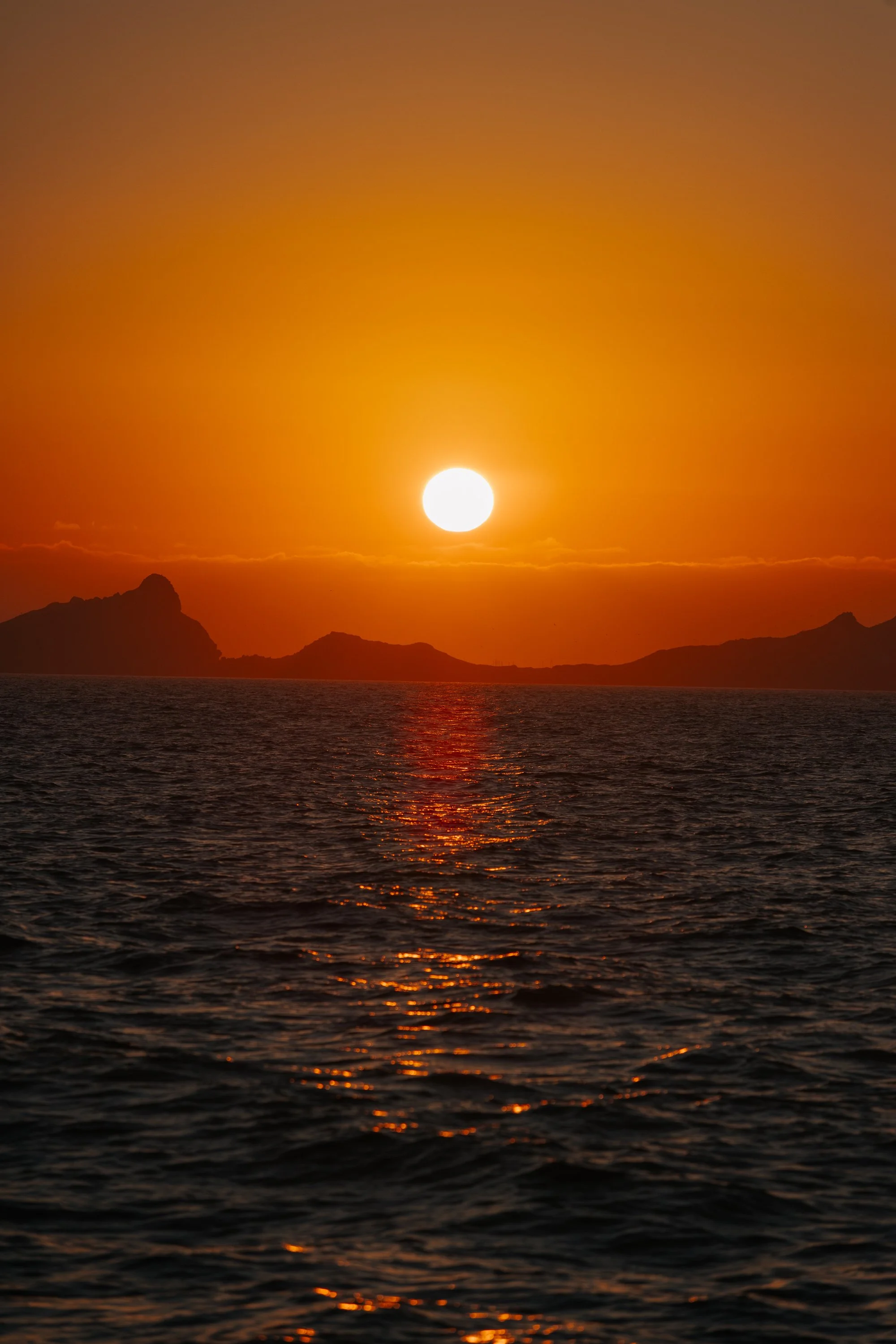
Islas de Todos Santos
ISLANDS OF THE WILD OUTER COAST
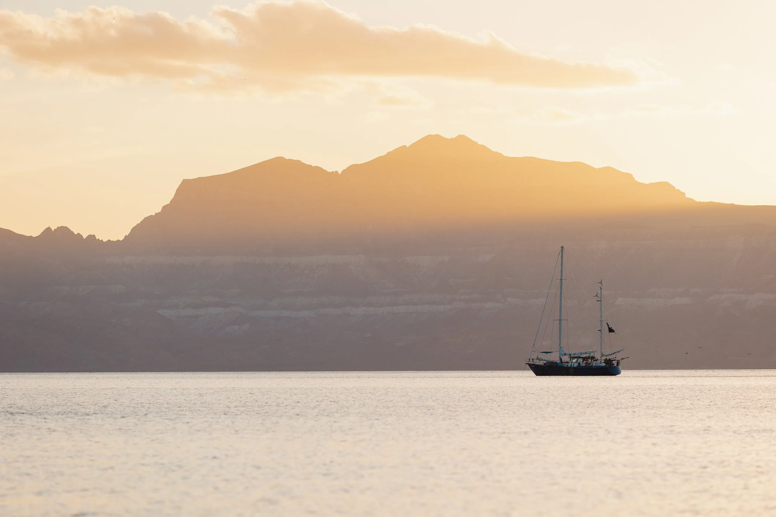
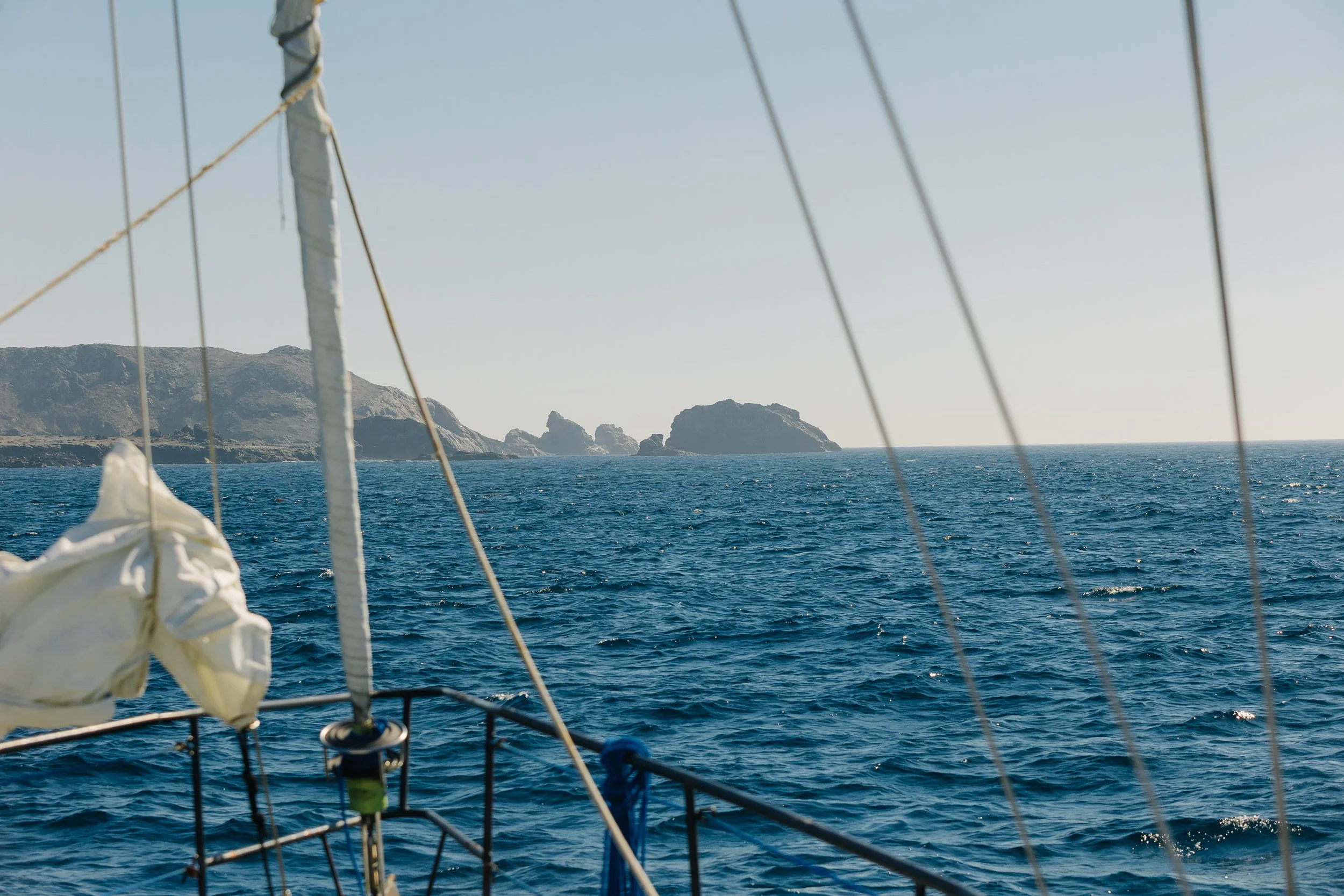
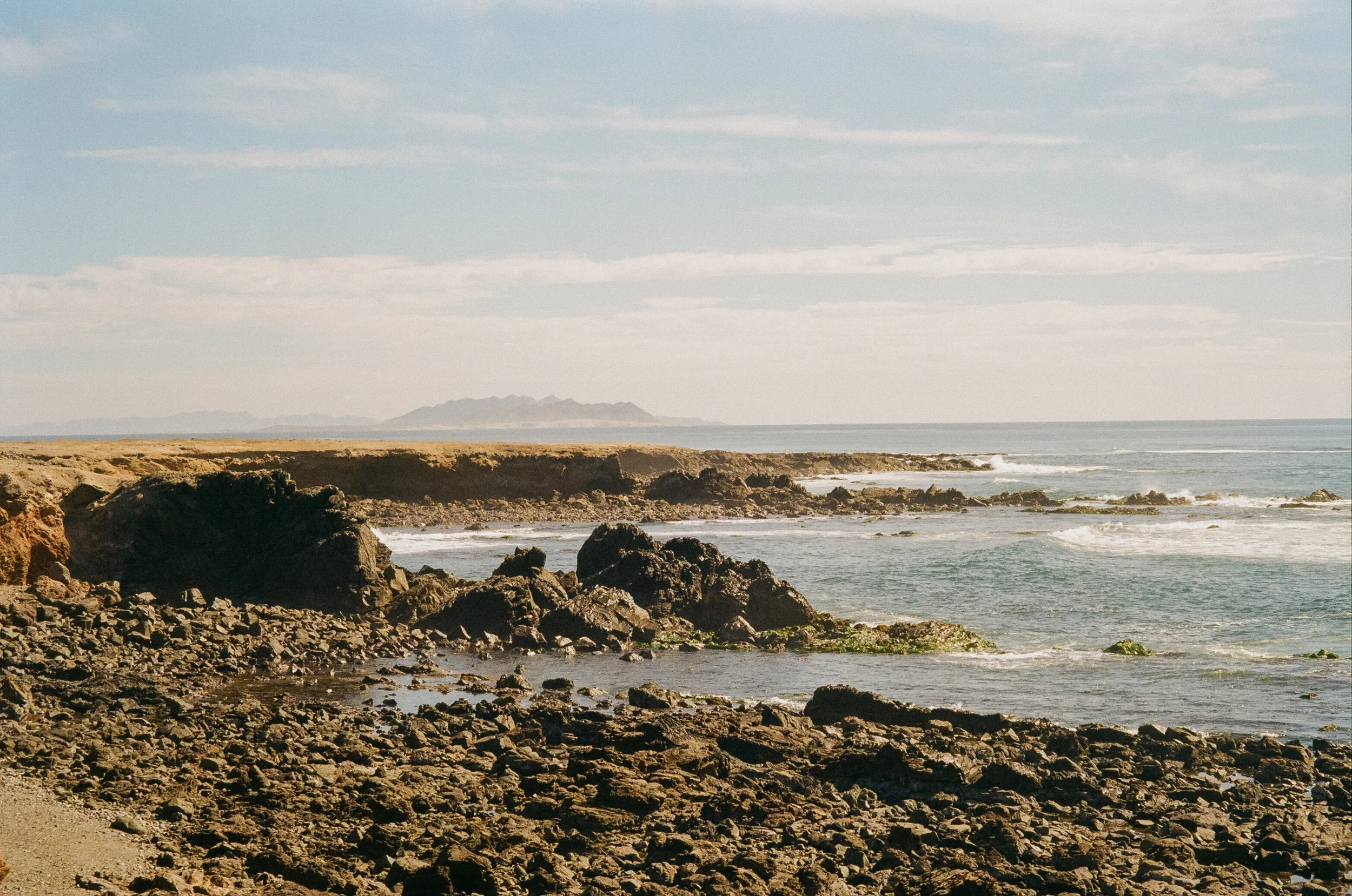
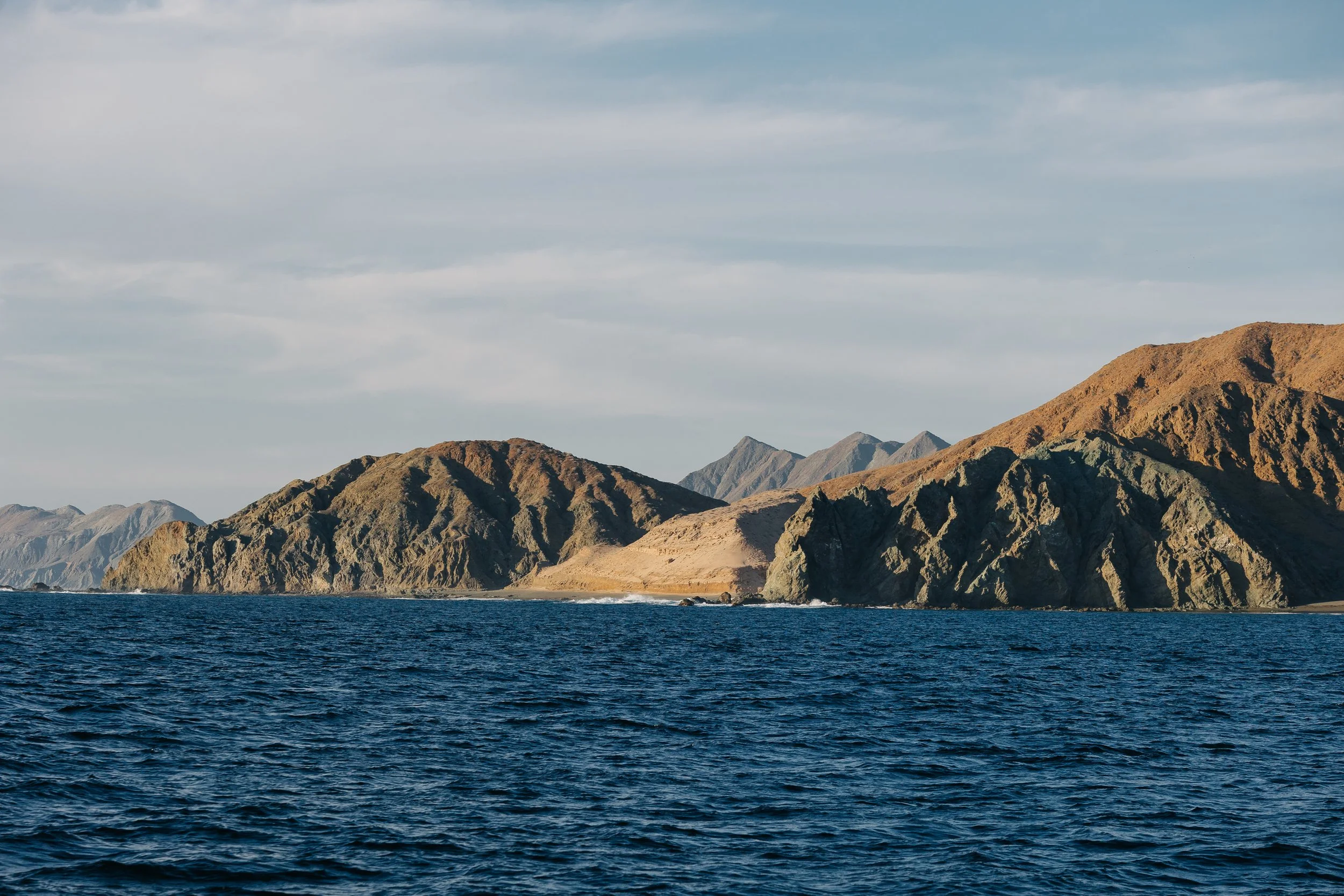
When we finally pushed off from Ensenada, we did so with a sense of release. The coastline stretched south in long, ochre folds, and the Pacific breathed steadily beneath us. We had planned to anchor that first night among the small scatter of islands called Islas de Todos Santos, but the wind and swell had other ideas. So we kept going, sails full, the sun melting behind the islands and giving way to darkness as stars began to light the vast open sky.That second overnight sail marked the beginning of our rhythm as we moved down the coast: two-hour night watches, drawn at random from a pirate hat, even when the schedule had already been agreed upon. Night watch is its own kind of world: quiet, majestic, shaped by starlight and the subtle language of wind. It was there, in those small hours, that I began to learn the finer points of sail trim, absorbing knowledge from our more seasoned crewmates. As Louie put it: “You don’t see a lot of lights sailing down the outer coast of the Baja… when you travel down the West Coast of the United States and there’s almost continuous development, and then you get down to Mexico, and as soon as you go south of Ensenada, there’s just… nothing. It’s good sailing.”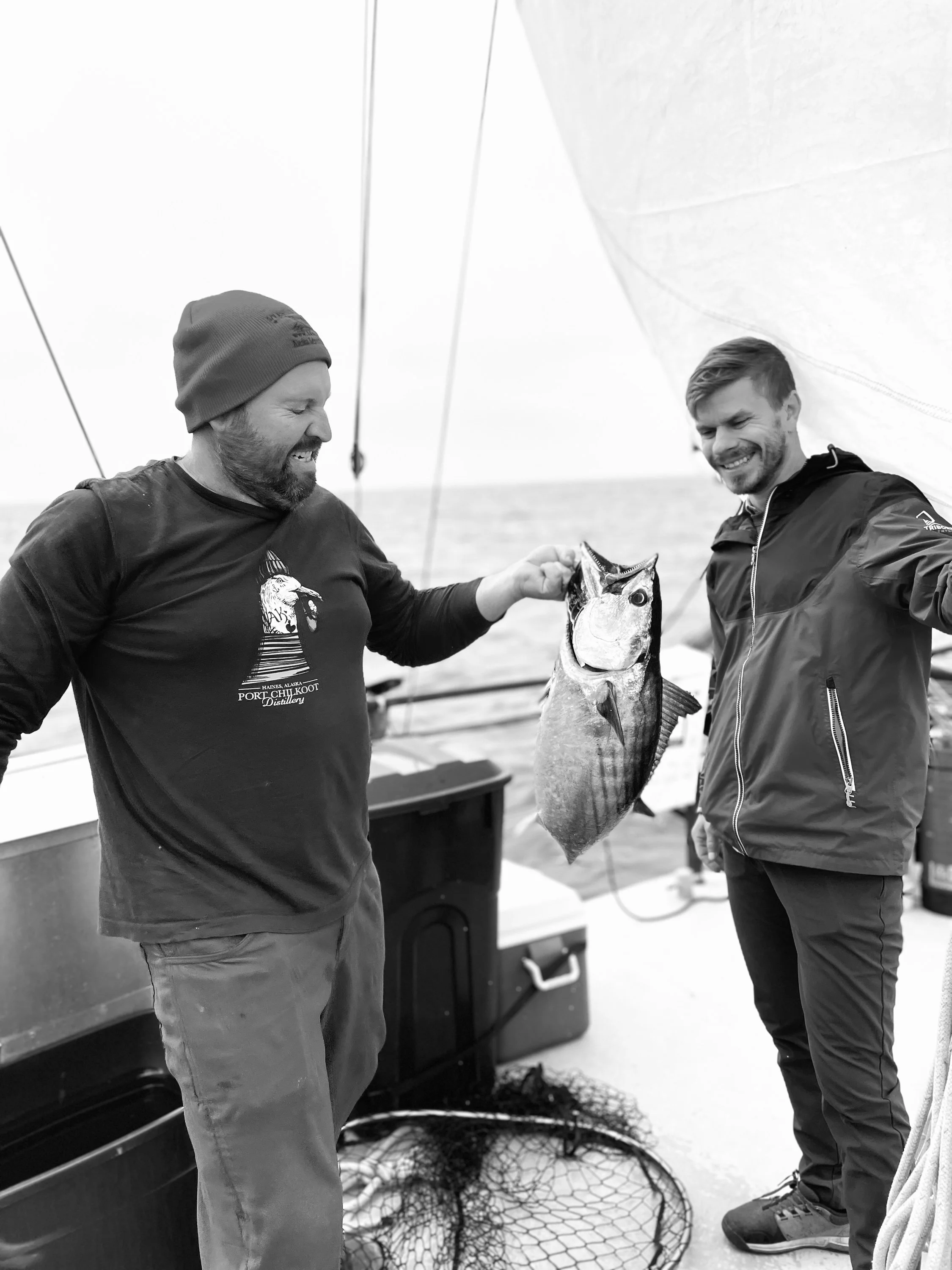
First Tuna catch of the trip

Tuna canning
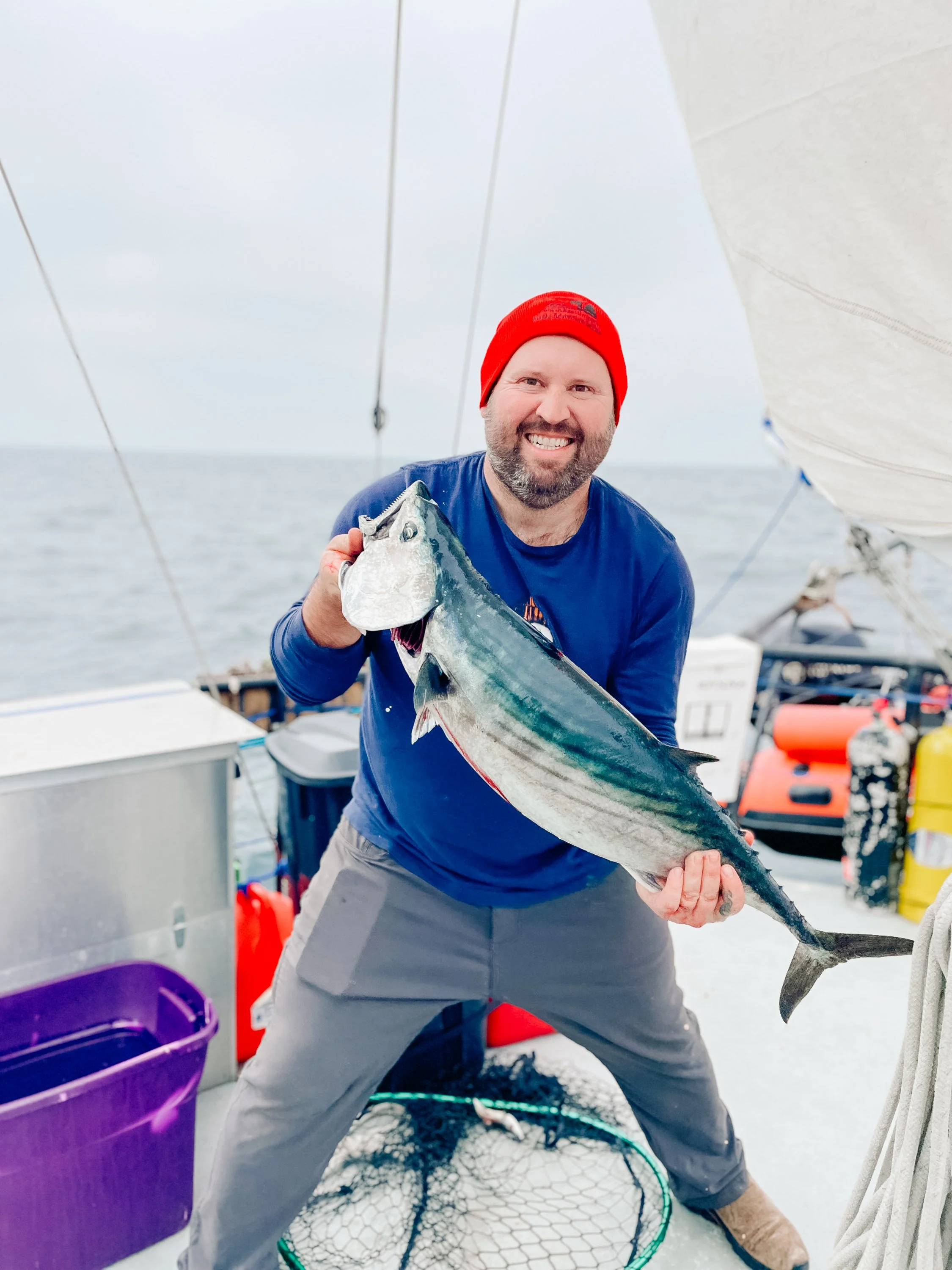
First Tuna catch of the trip
Further south, we woke one morning enveloped in fog so dense it erased the horizon entirely. It was here we caught our first tuna: a sudden, electric moment that turned the deck into a flurry of movement and purpose. Our first landfall along the outer coast came at Isla San Martín, a volcanic island rising dark and abrupt from the sea. Its volcanic nature links it to the San Quintín volcanic field on the adjacent mainland, contributing to the area’s distinctive geological landscape. The island itself felt raw and elemental, home to a small fishing camp where local fishermen offered to take us to explore lava tubes and jagged terrain that bore the memory of fire. The foggy day reminded me of Southern California in winter, that same muted stillness, that same sense of a world paused.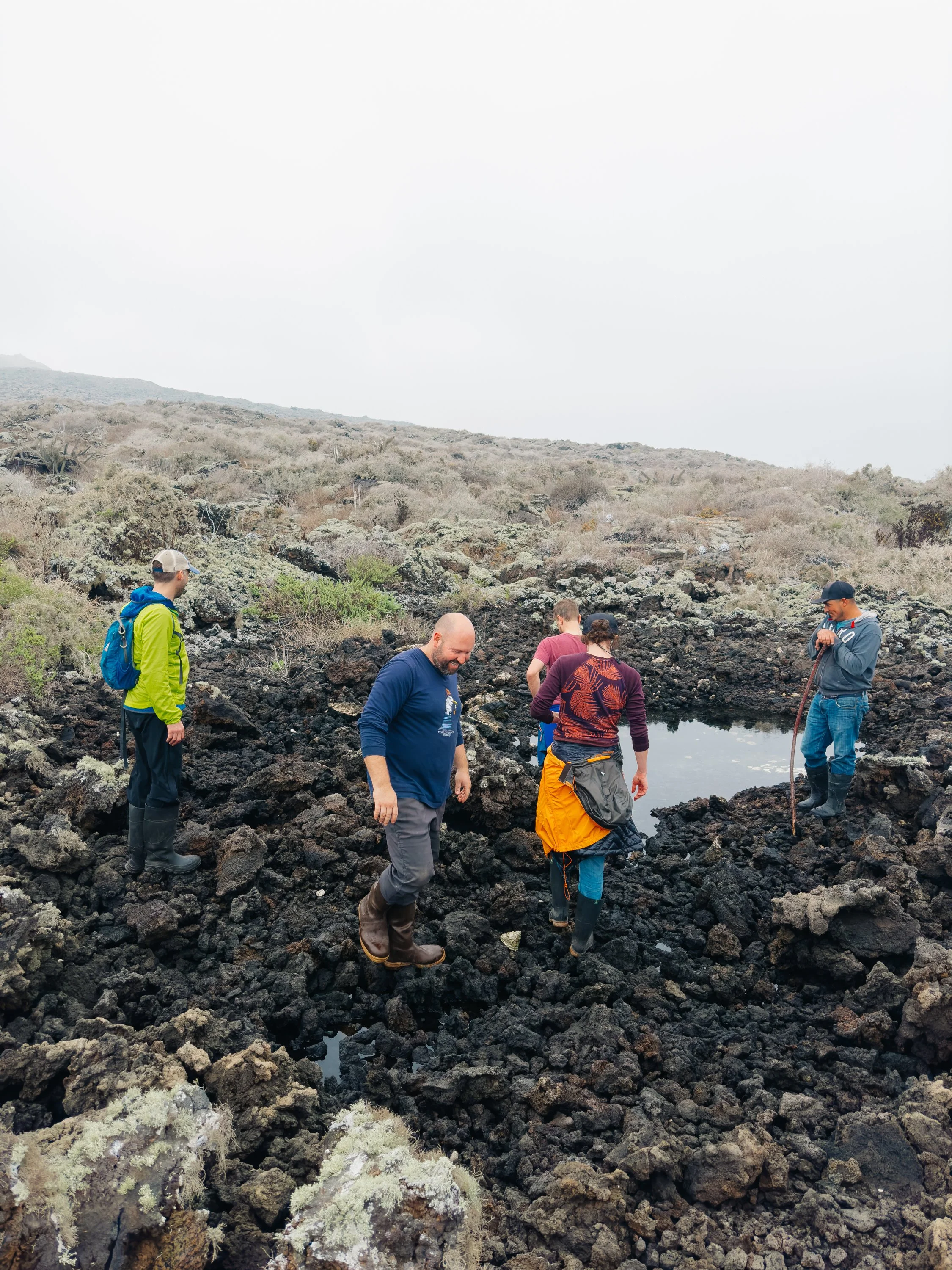
Exploring Isla San Martín with a local fisherman
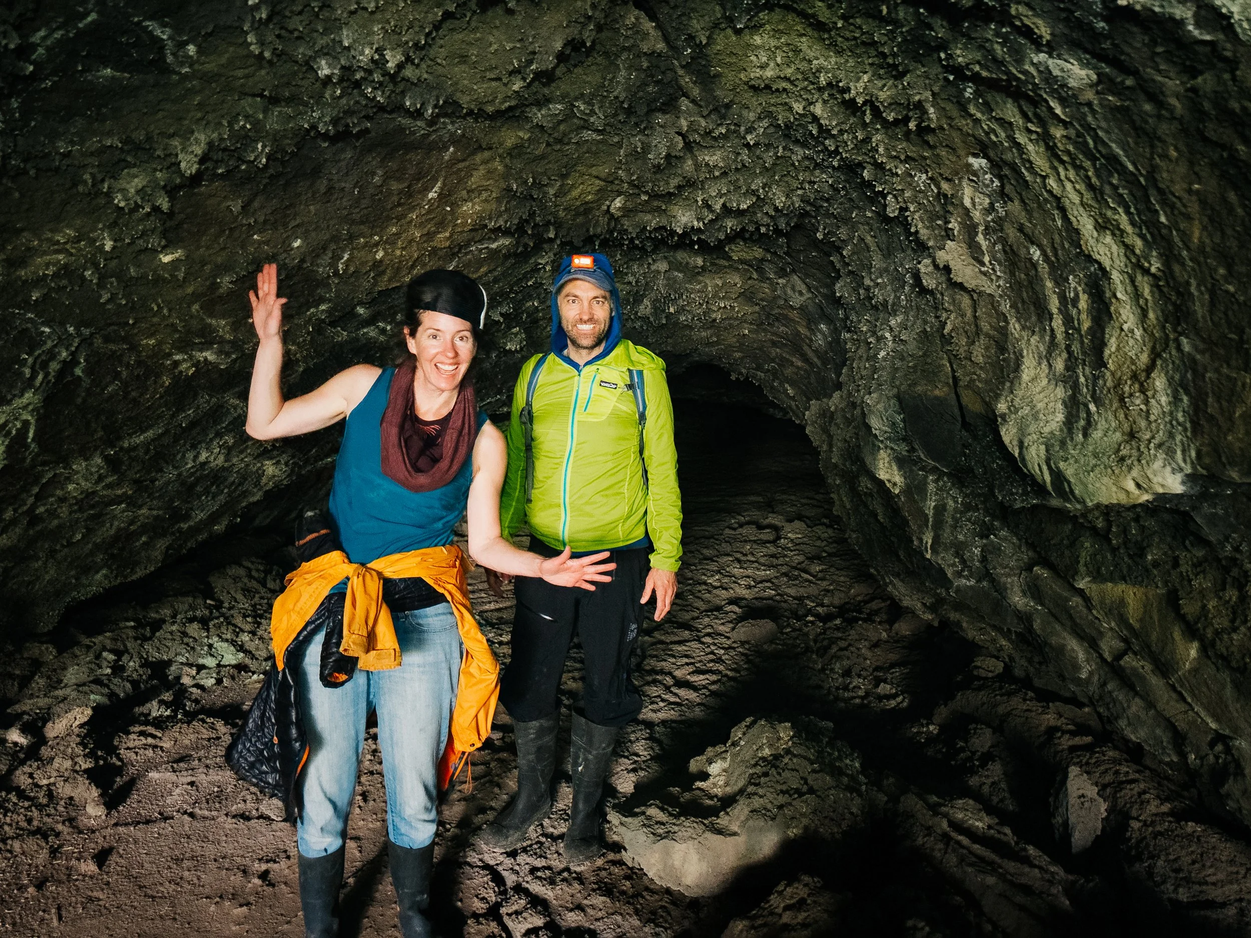
Lava Tubes on Isla San Martín
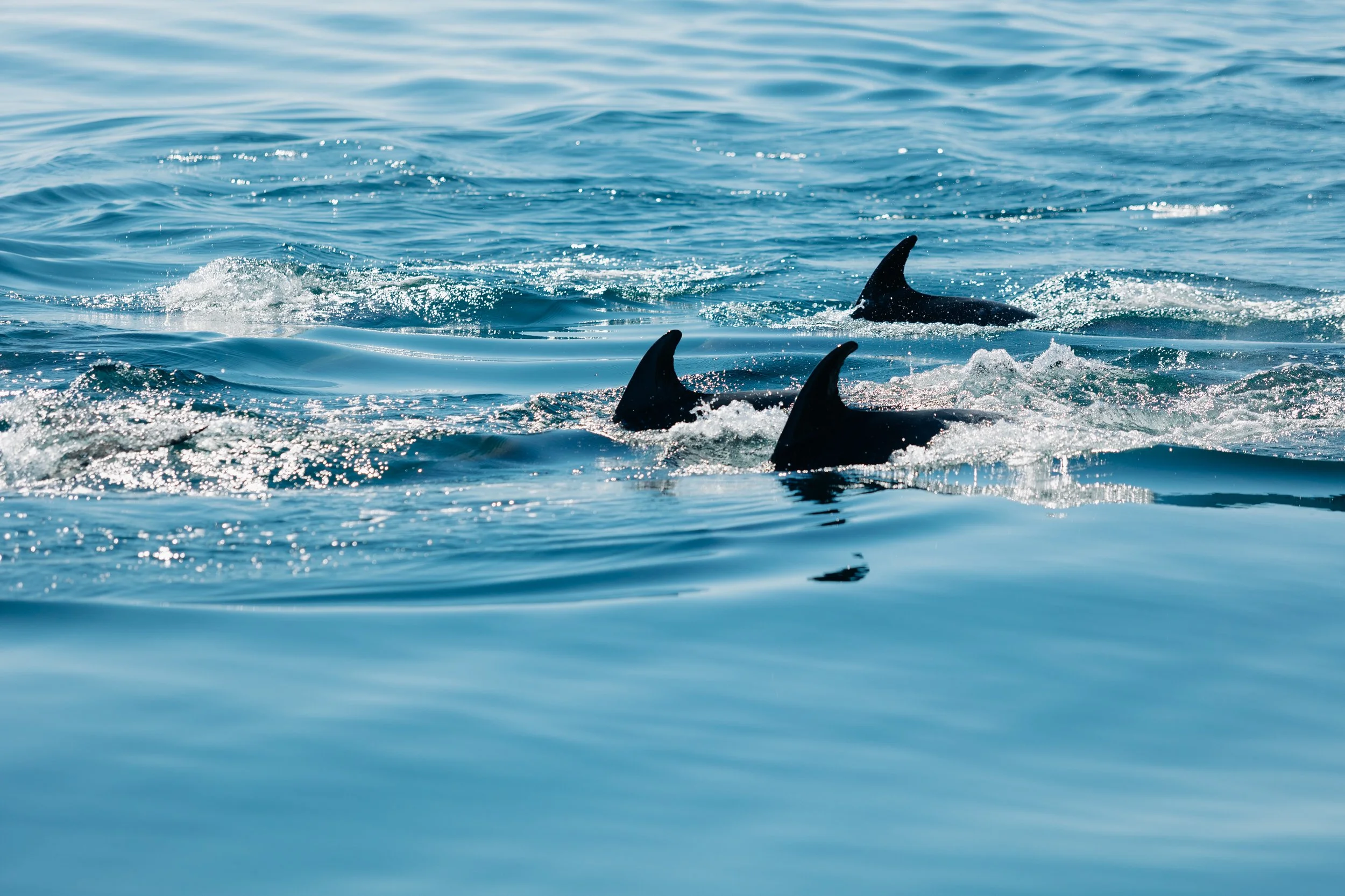
A dolphin pod near Isla San Martín
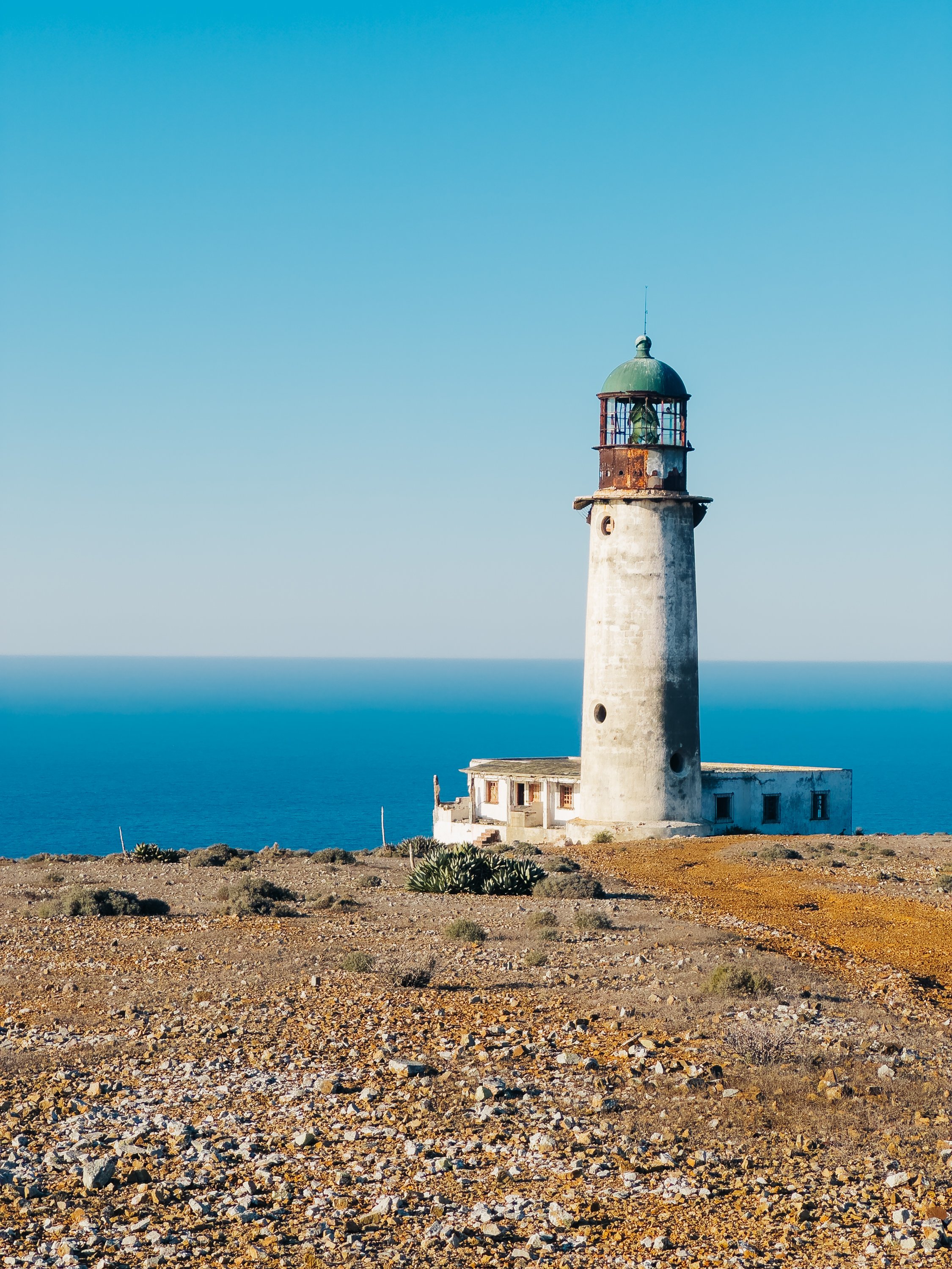
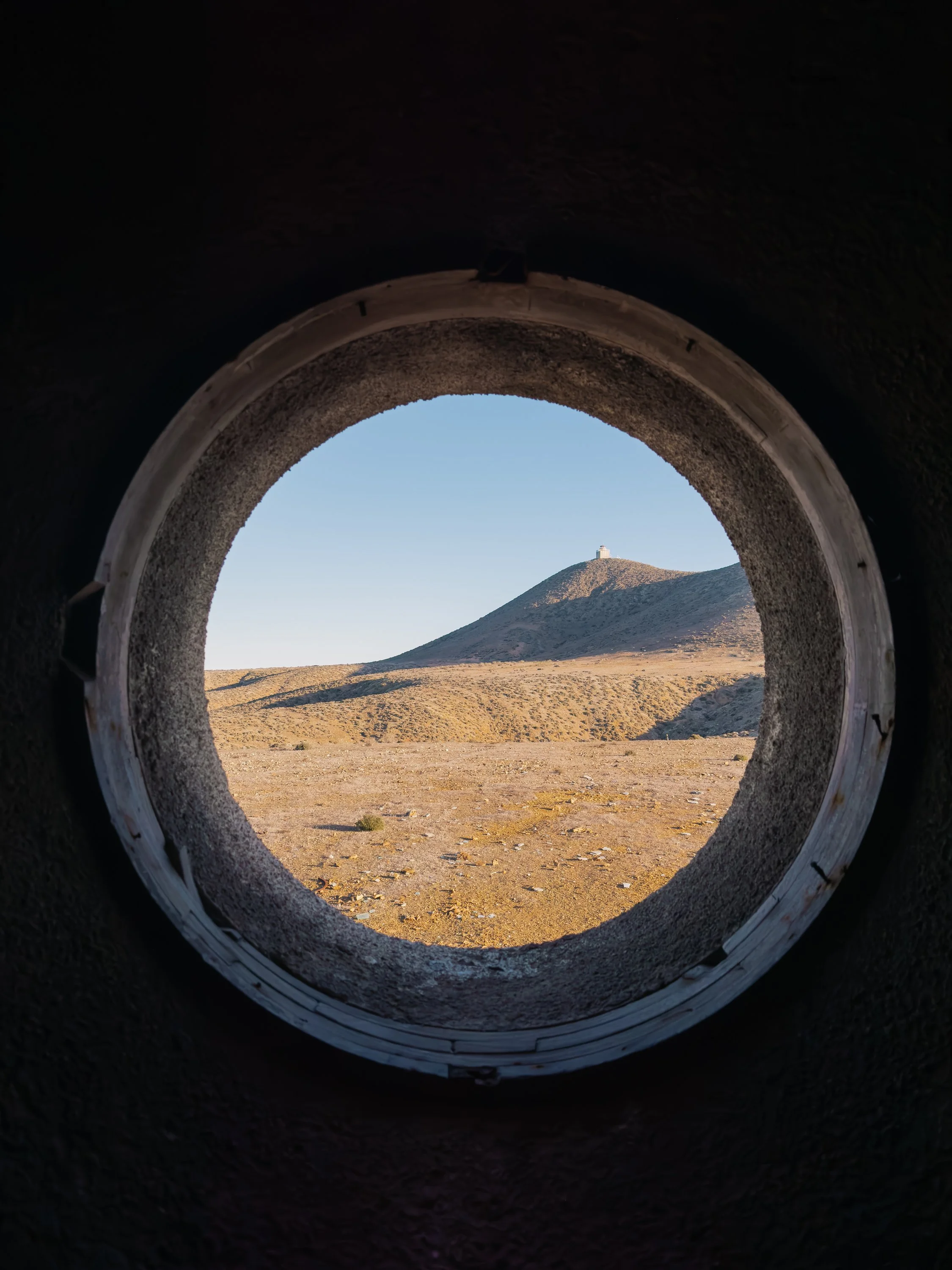
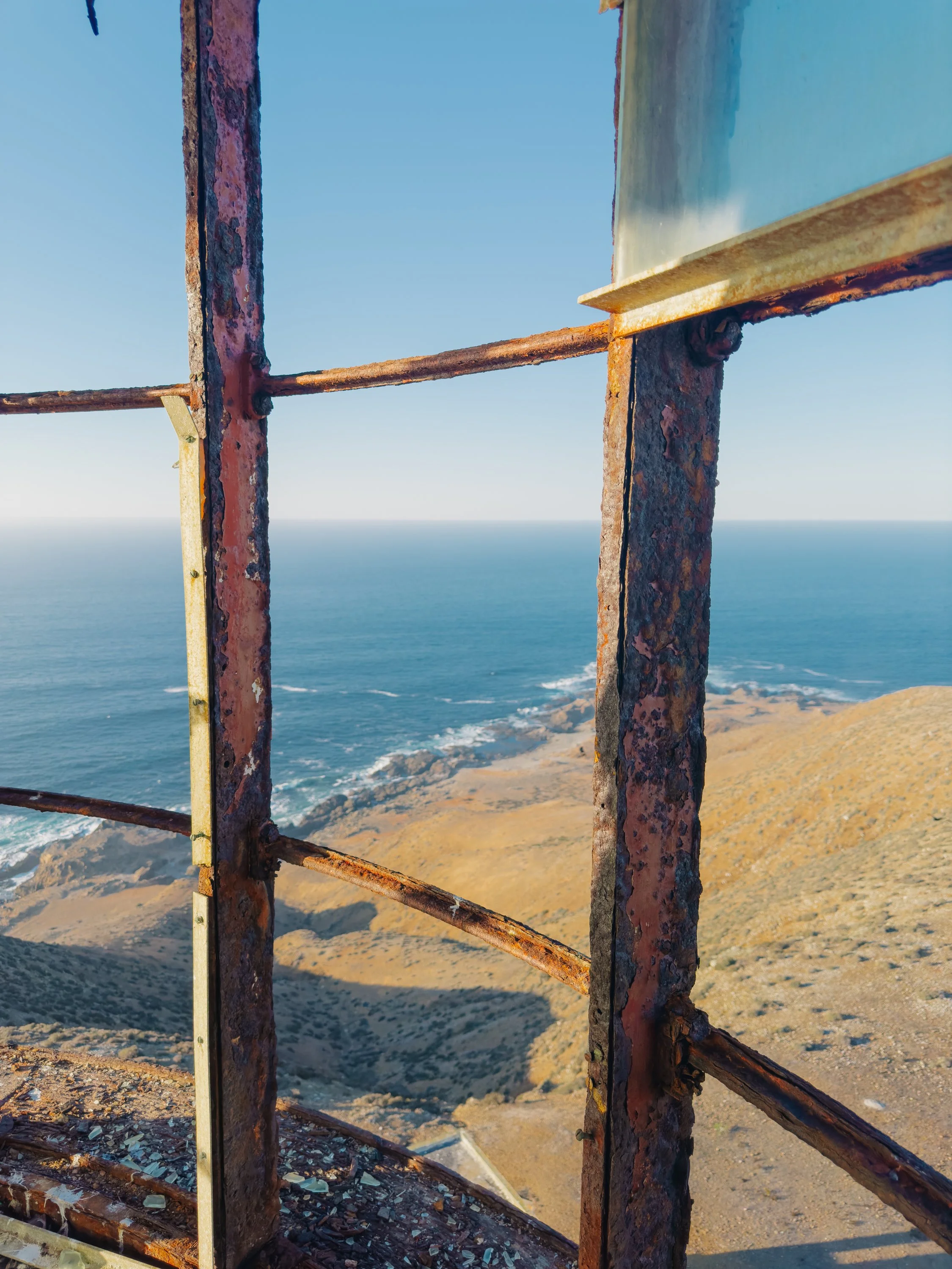
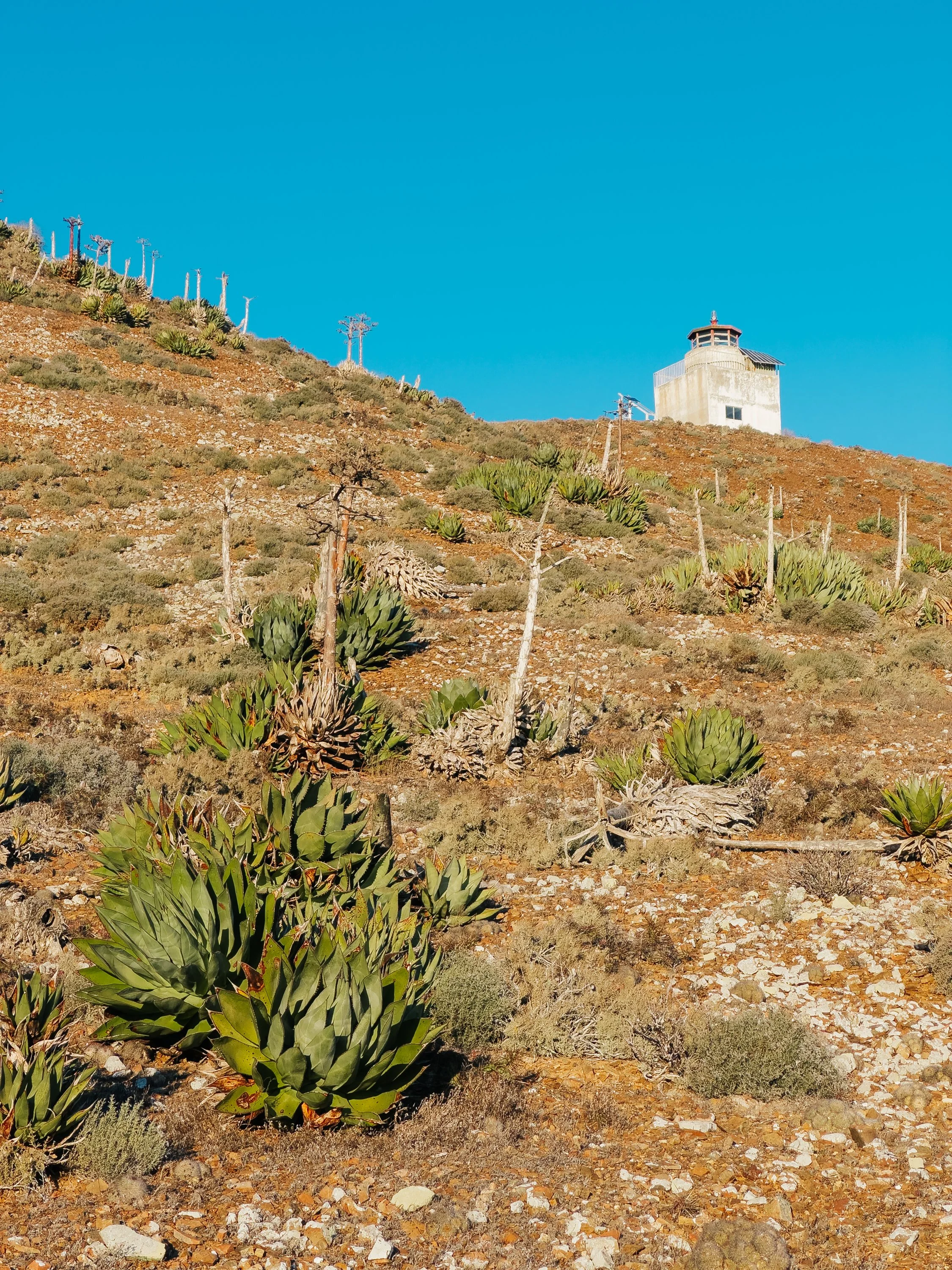
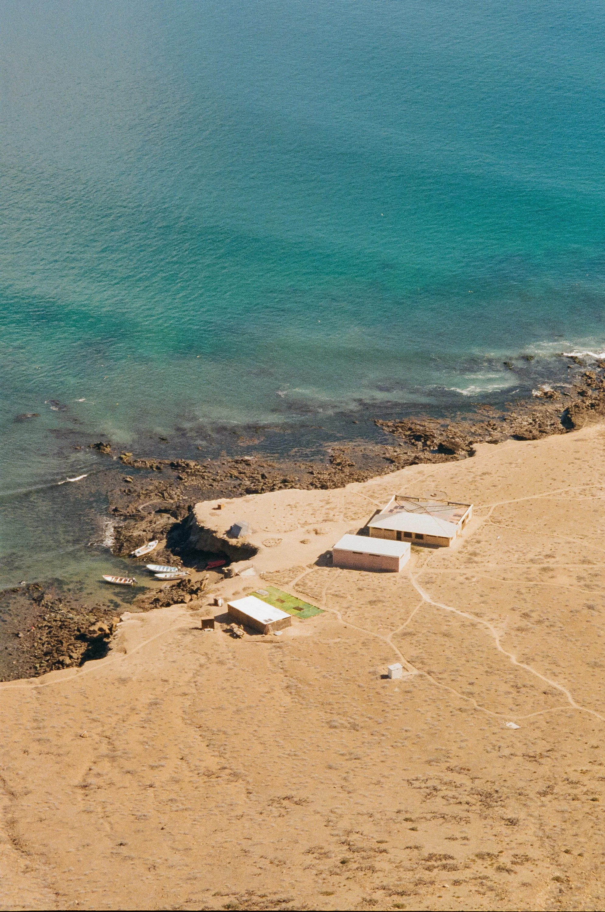
Wildlife met us in motion throughout our time on the coast. Dolphins arrived first – hundreds of them – cutting through the water in synchronized arcs, weaving effortlessly around the bow. Later came the whales, their slow, deliberate migrations tracing the same path we followed south. Having spent the summer among them in Alaska, it felt as though we were traveling in parallel, drawn by the same instinct toward warmer waters. There was comfort in that, a sense of shared direction.Anchored near the Islas San Benito island group, we went ashore at Benito del Oeste and set off toward the island’s twin lighthouses. One stood more modern atop a hill, while the other was older and weather-worn, sitting nearer the edge of the island. These islands are among the most remote outposts along the Baja coast, at times inhabited by only a handful of people, often fishermen or lighthouse keepers. The two lighthouses themselves were built as vital navigational aids along this rugged and often unforgiving stretch of coastline, where fog, offshore rocks, and kelp beds have long posed hazards to passing ships. 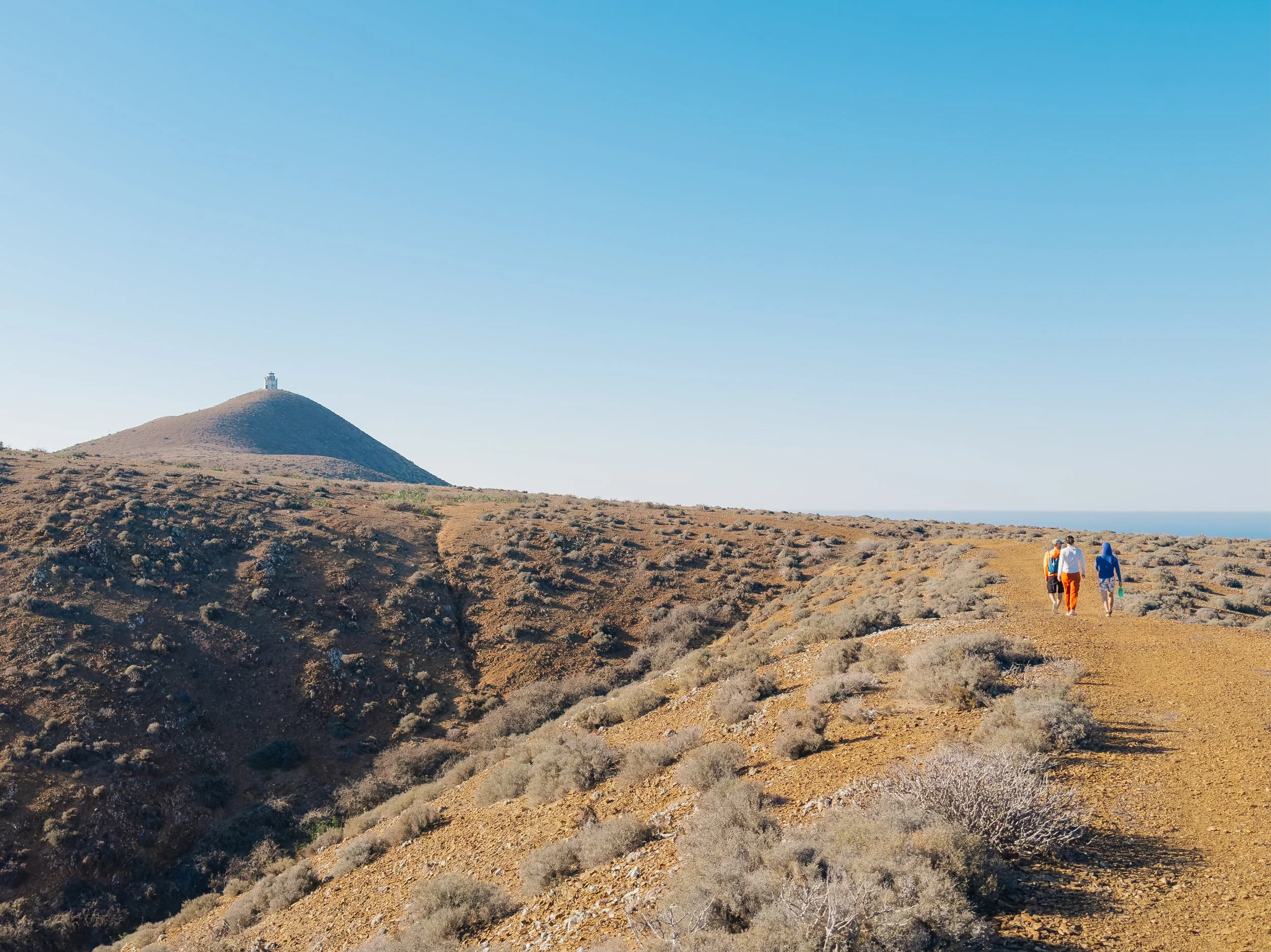
Hike to the Benito del Oeste lighthouse
Benito del Oeste lighthouse
Benito del Oeste cliffs
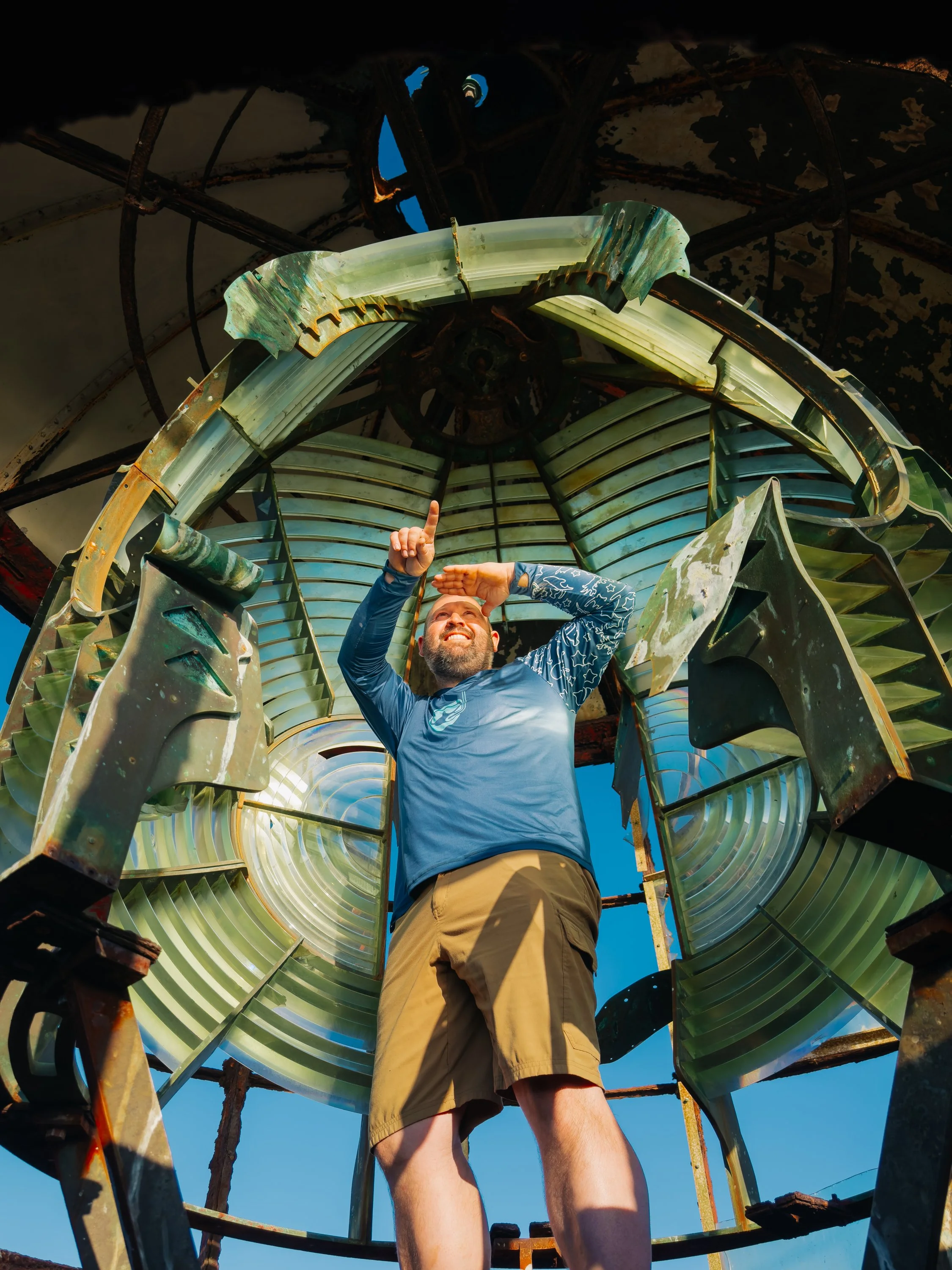
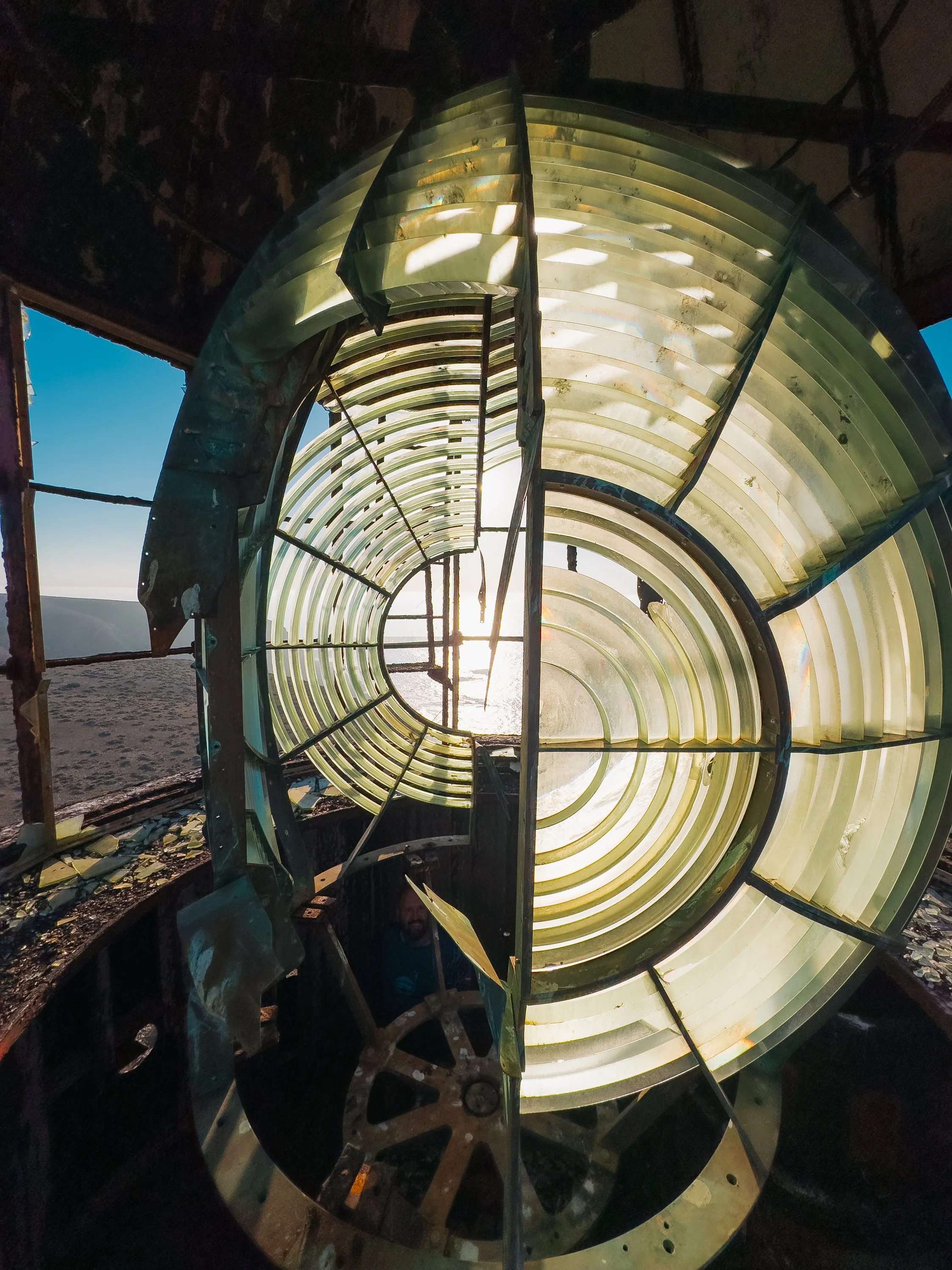
Fresnel lens inside the Benito del Oeste lighthouse
Benito del Oeste lighthouse
Benito del Oeste lighthouse
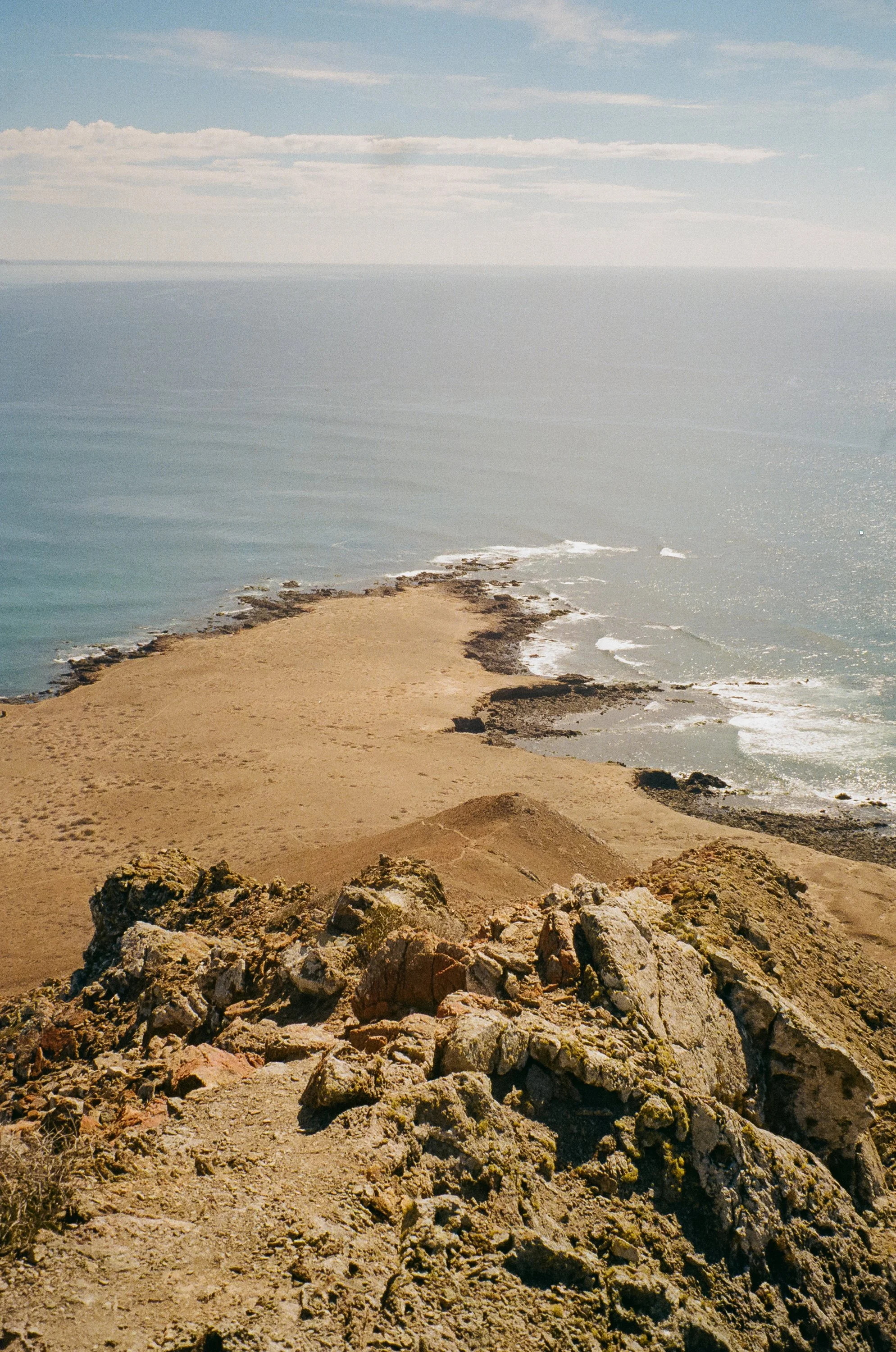
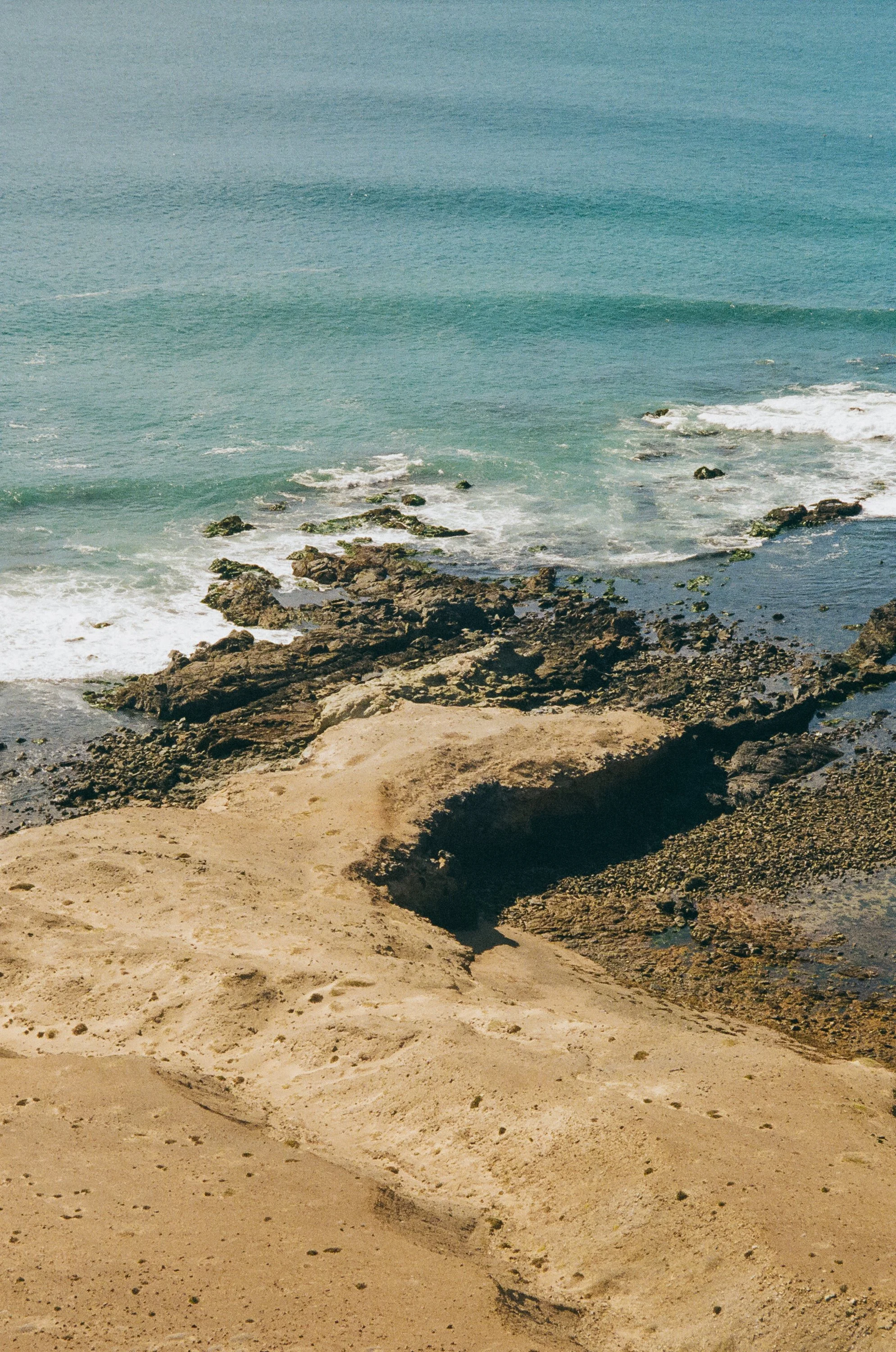
Remnants of the Fresnel lens glass still lay scattered below the older of the two, worn, broken, and glinting faintly in the afternoon sunlight. Looking out from the top, the island cliffs dropped away sharply into the Pacific. There was something quietly reverent about these two structures, guardians of a coastline that felt otherwise untouched. Upon the hike back, we gazed out across the water at the other islands in the group, with the larger Cedros Island as its backdrop.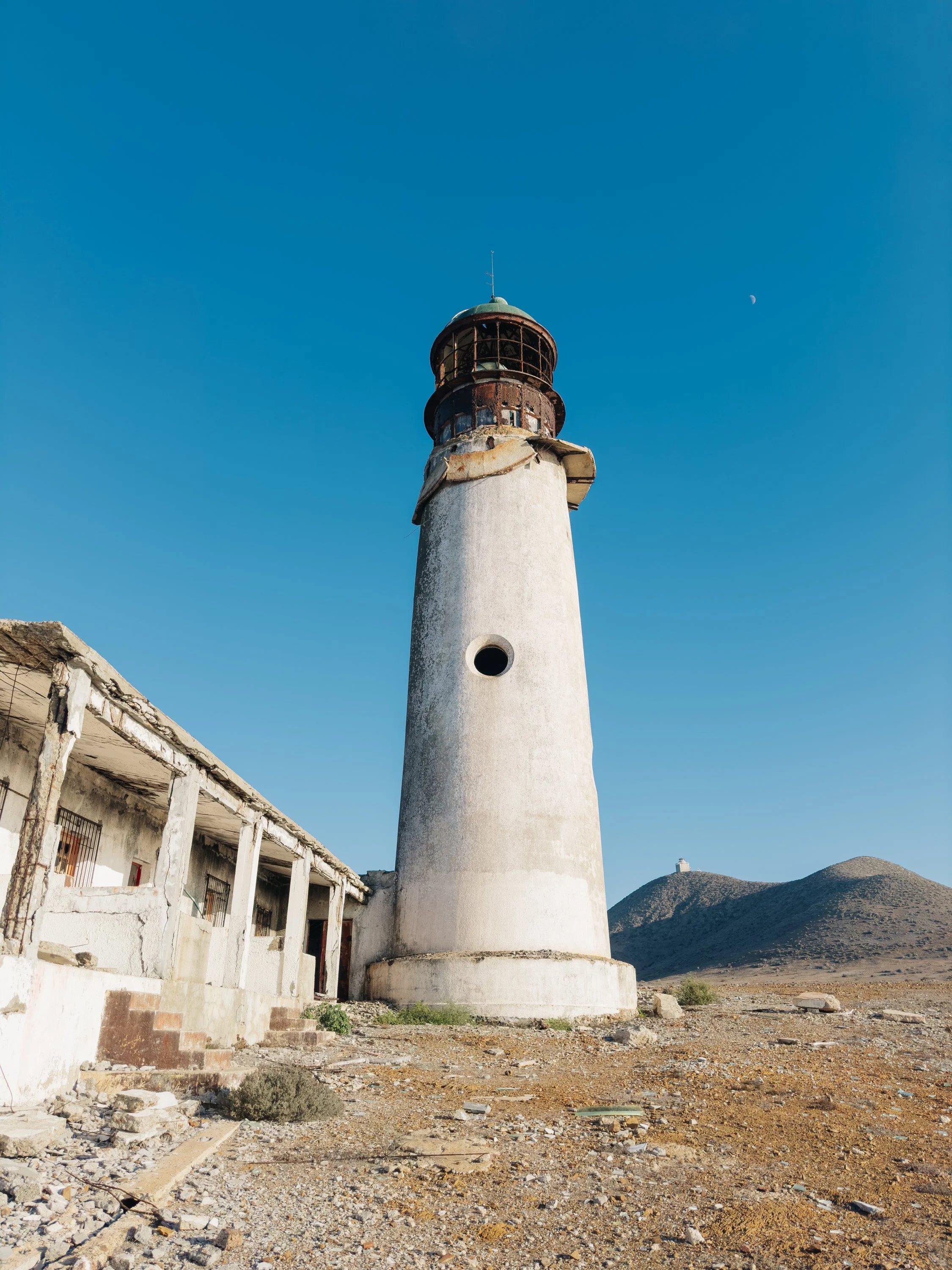
Benito del Oeste lighthouse
Benito del Oeste lighthouse
Benito del Oeste lighthouse
Views of Cedros Island and the mainland from Benito del Oeste
VISITS TO THE MAINLAND: LANDFALLS AND SMALL WORLDS
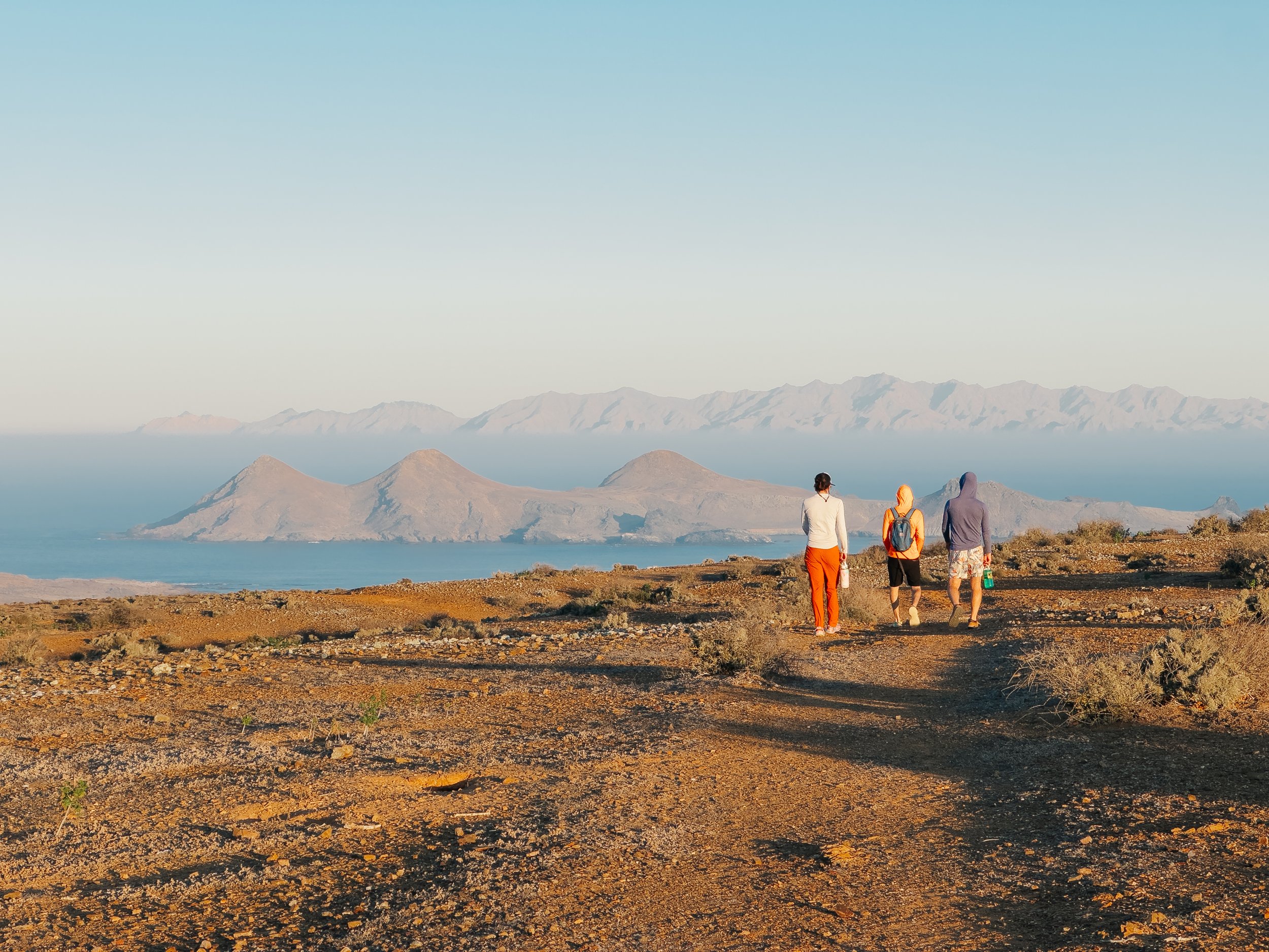
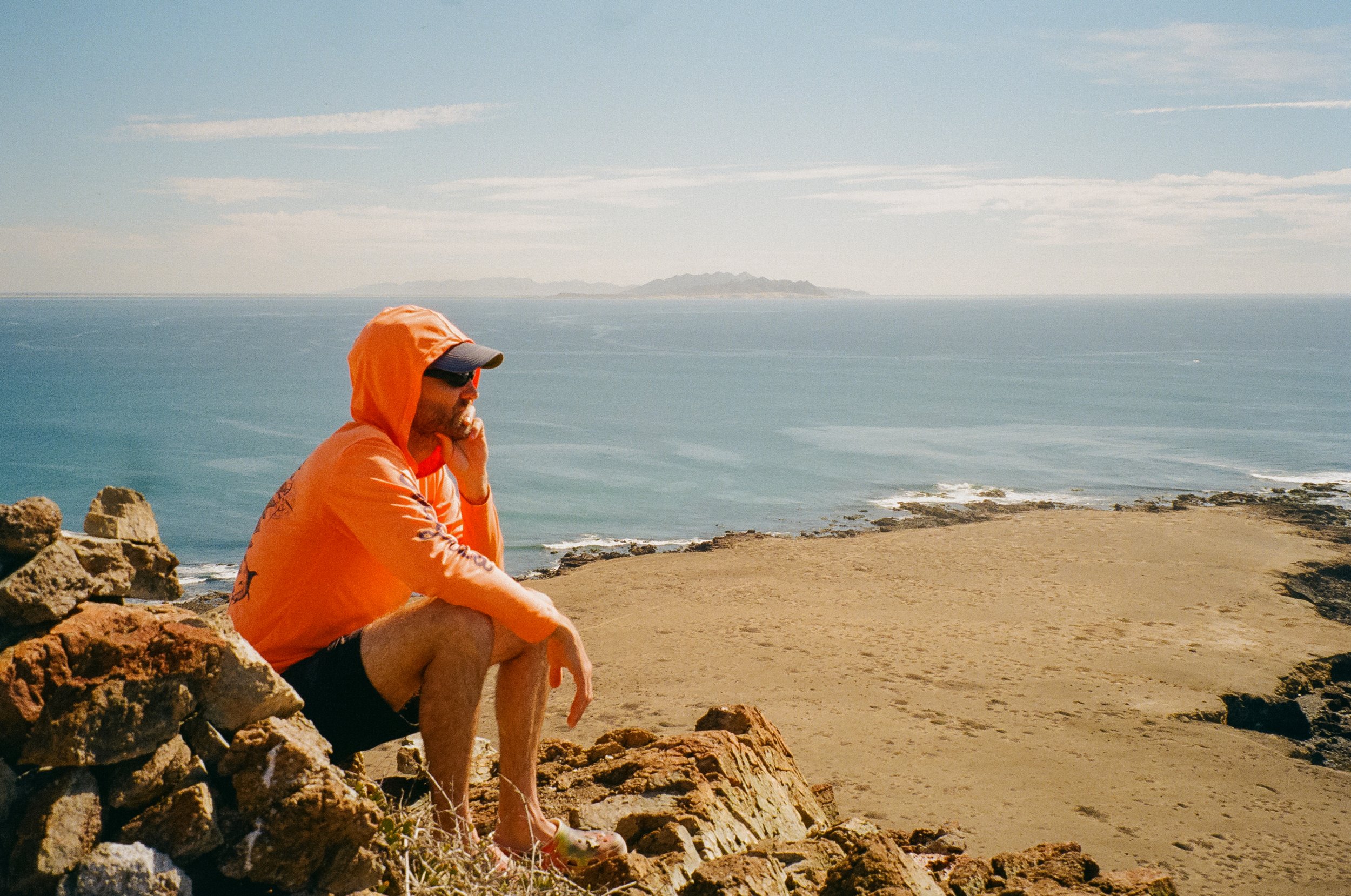
Life aboard settled into a pattern dictated by wind and time. For nearly two weeks, we sailed primarily at night, carried south by steady trade winds. Mornings brought anchorage at quiet coves and small villages, where we would sleep late, gather slowly, and then head ashore to explore. By sunset, we would lift the anchor once more and continue on. The days became pockets of stillness between passages; the nights, our true movement.At Bahía Asunción, we stopped at a nearby island and slipped into the water with sea lions. Their sleek bodies darted and spun around us – curious, playful, entirely at ease – as we briefly entered their underwater world. Later, we took the dinghy ashore to the mainland and wandered into town in search of tacos, an endeavor that had quietly become one of my greatest anticipations for our months in Mexico.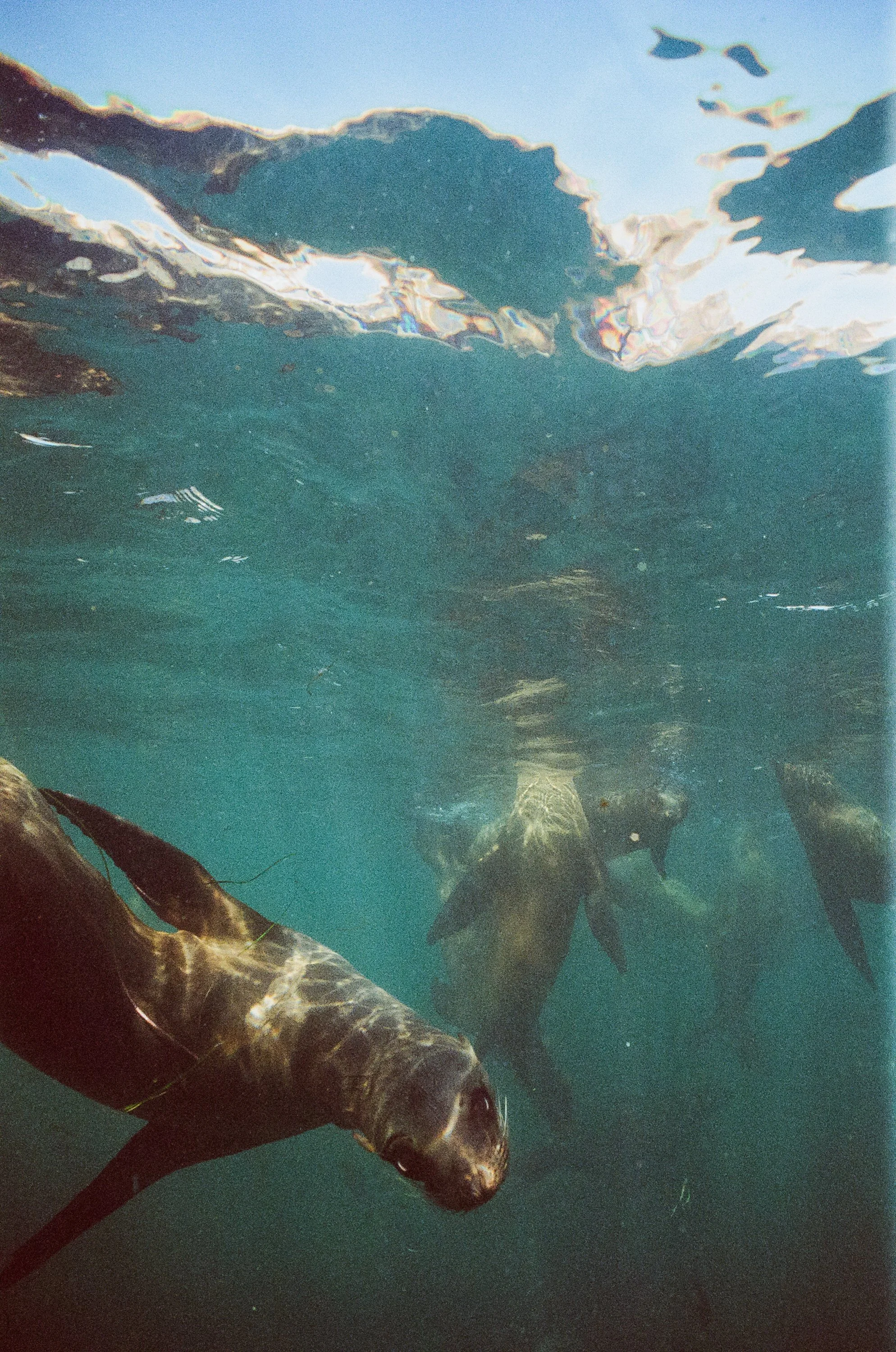
Sea lions at Isla Asunción
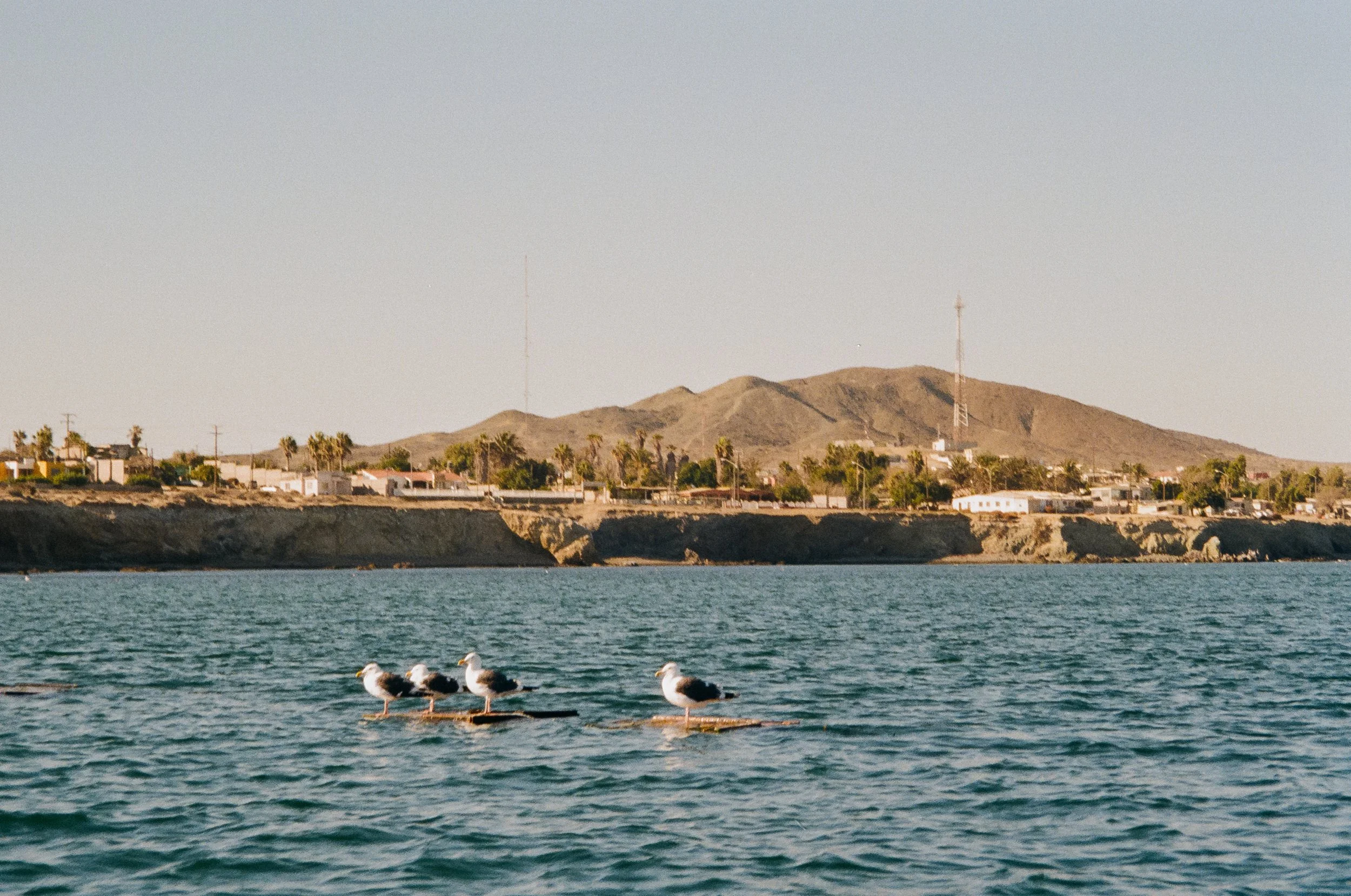
Bahía Asunción
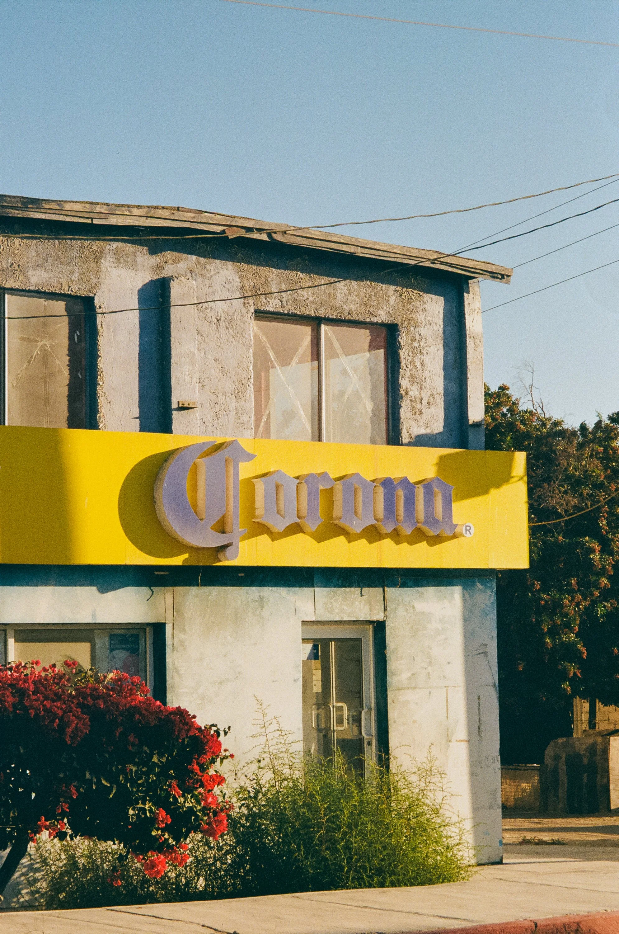
Bahía Asunción
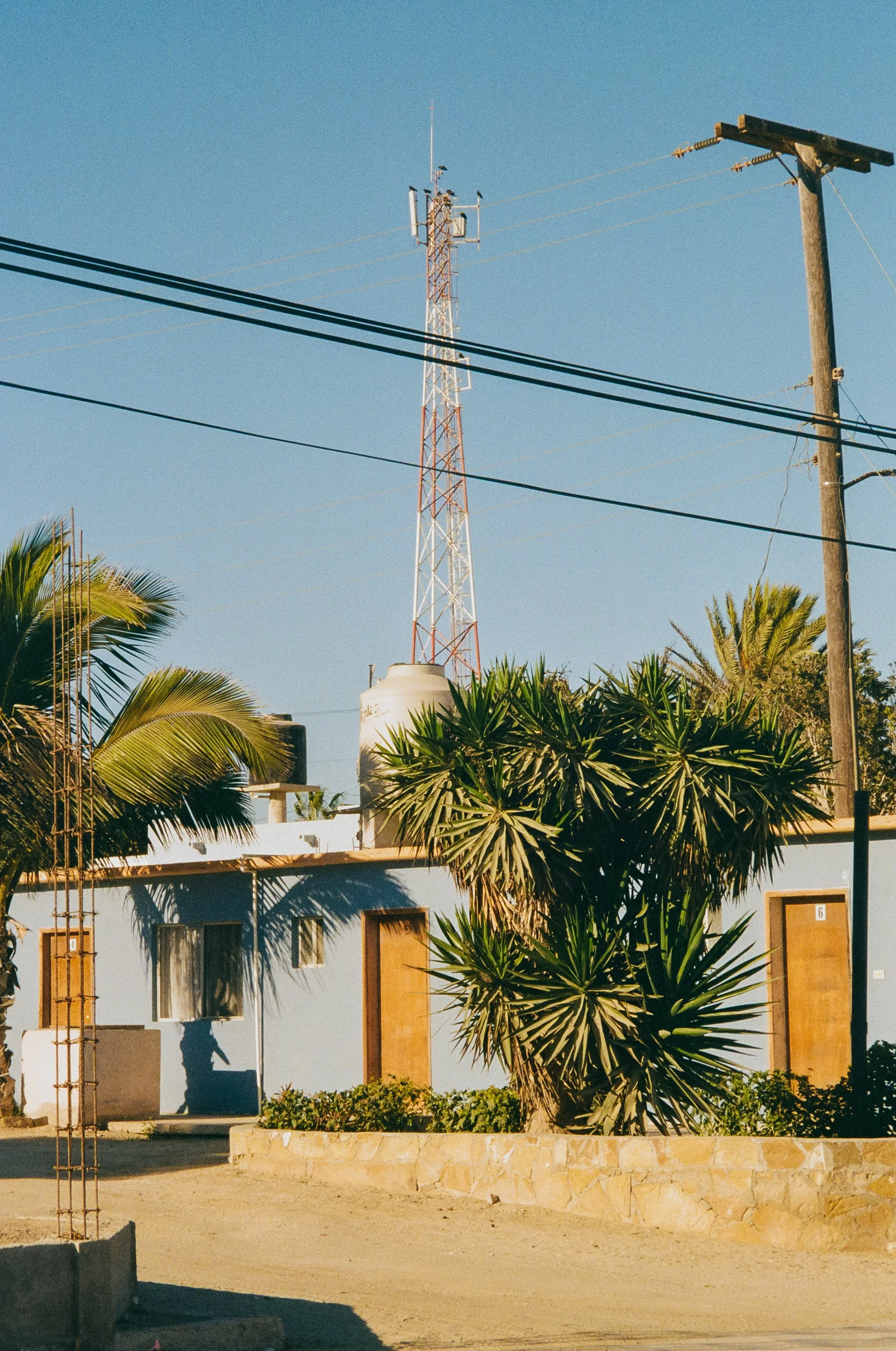
Bahía Asunción
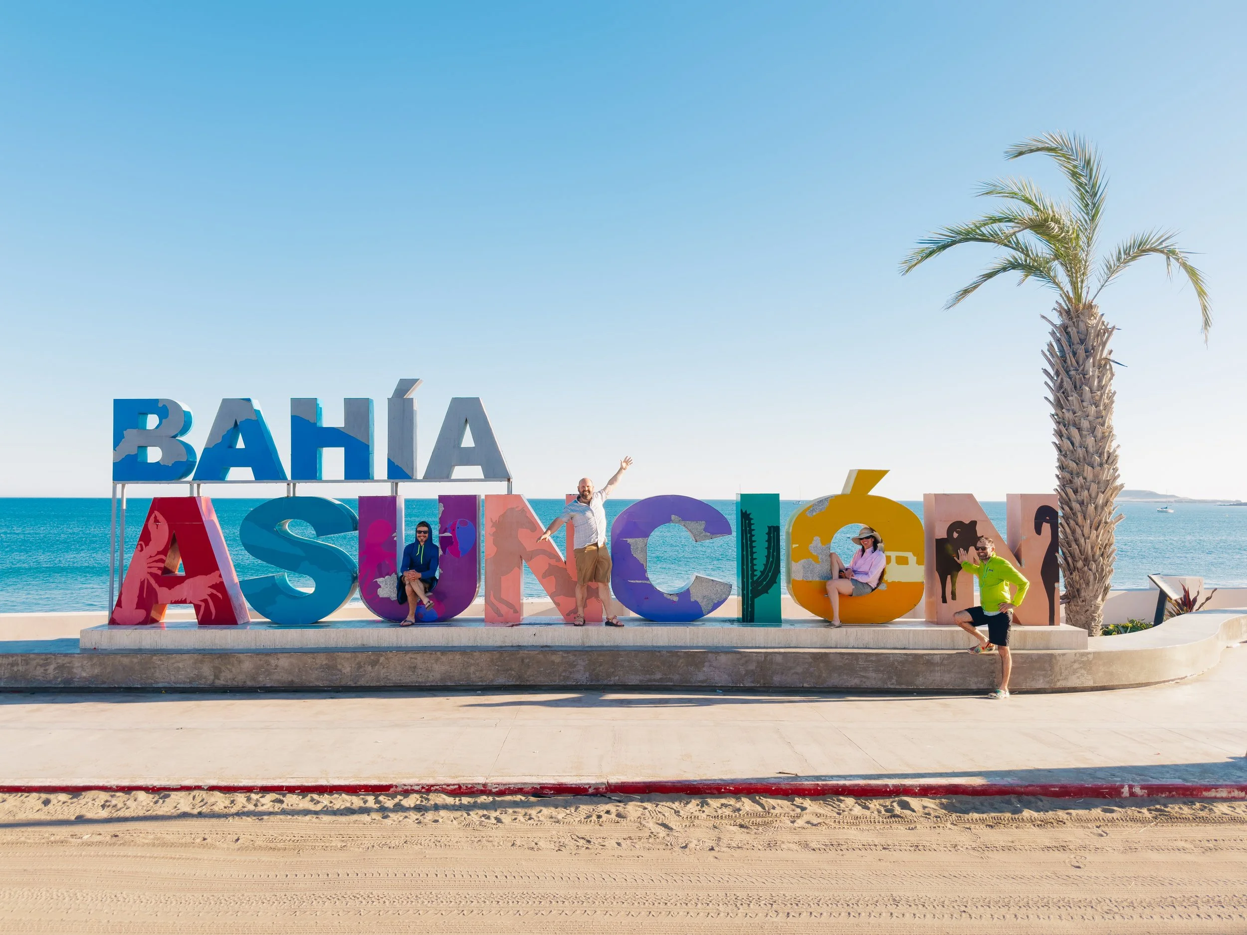
Bahía Asunción
That evening, back on the boat as we prepared to depart, the hills of Isla Asunción came alive. Hundreds upon hundreds of cormorants gathered along the ridgelines, their silhouettes dark against the fading light… a kind of avian choreography marking the close of day.The next morning, the sea provided again. Both fishing lines struck in quick succession, and the calm of early light shattered into urgency. Louie called out, “fish on!”, and within moments the deck was filled as the three men aboard were half-dressed, hauling in twin tuna with a mix of skill and brute determination. Before the work of fileting the fish began, they paused to don colorful luchador masks and snap a photo in their boxers. It was absurd and perfect, the kind of moment that lives somewhere between necessity and joy.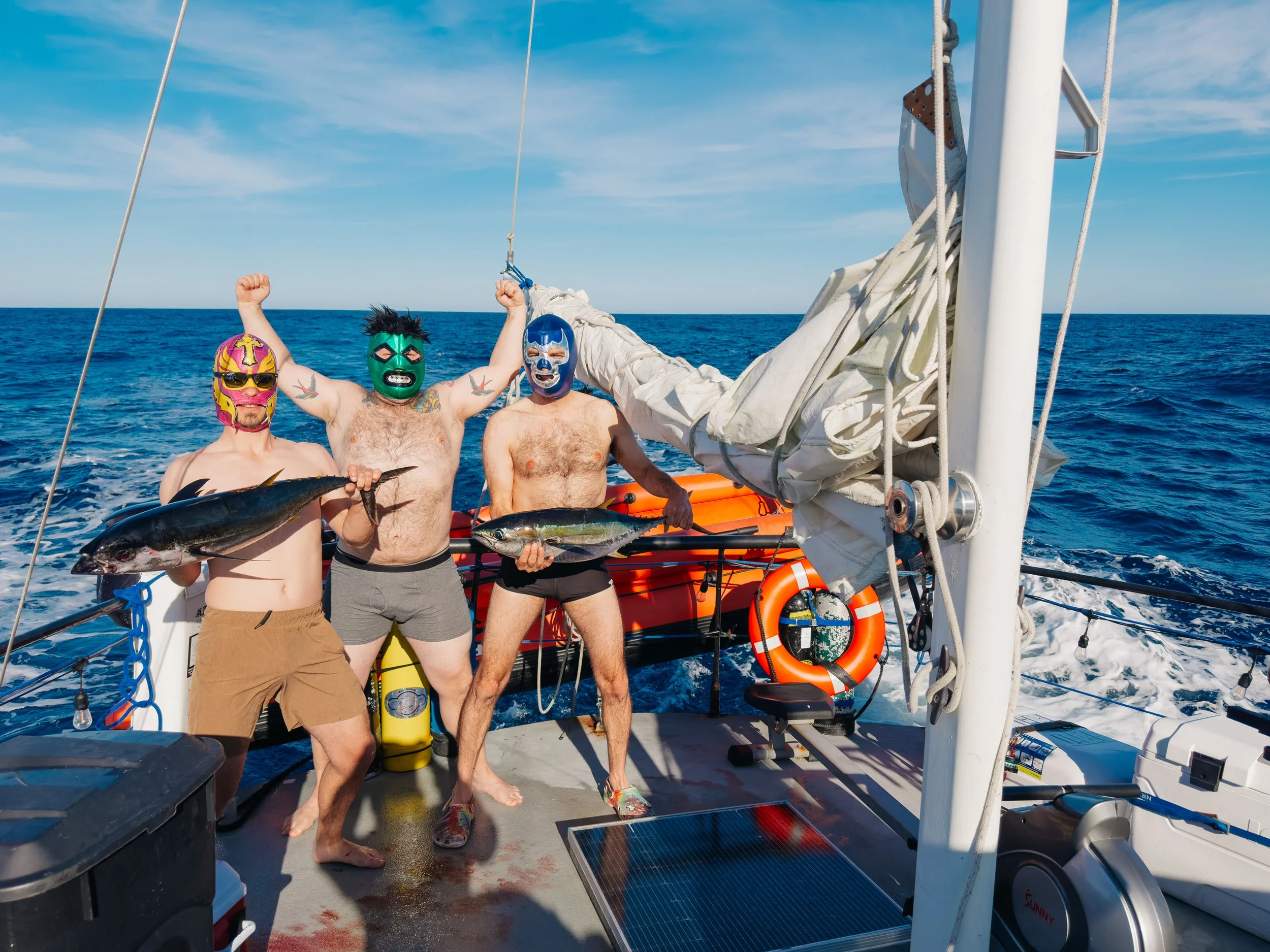
Tuna luchadors
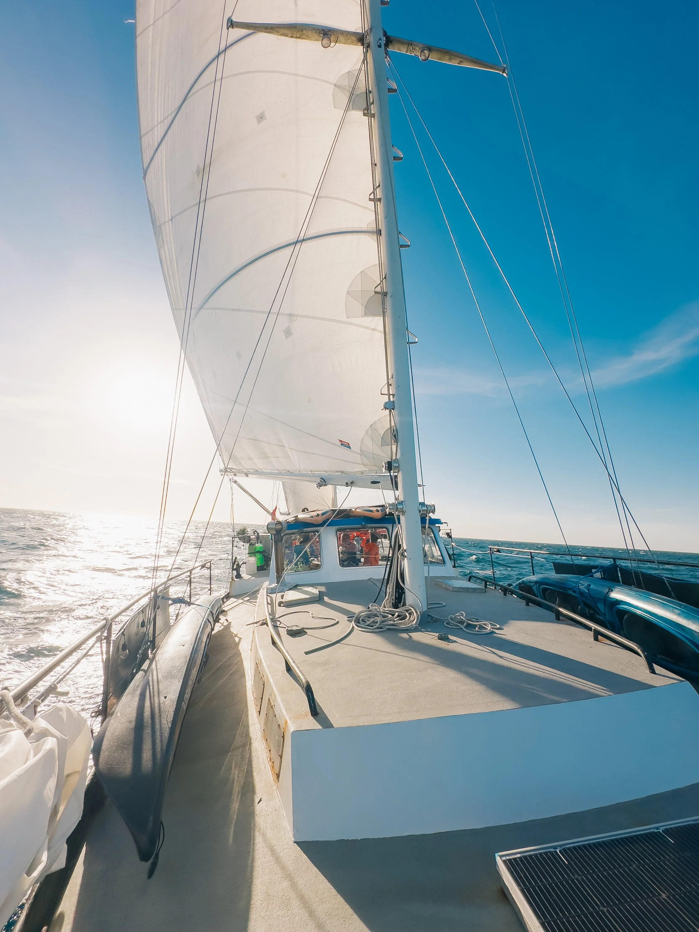
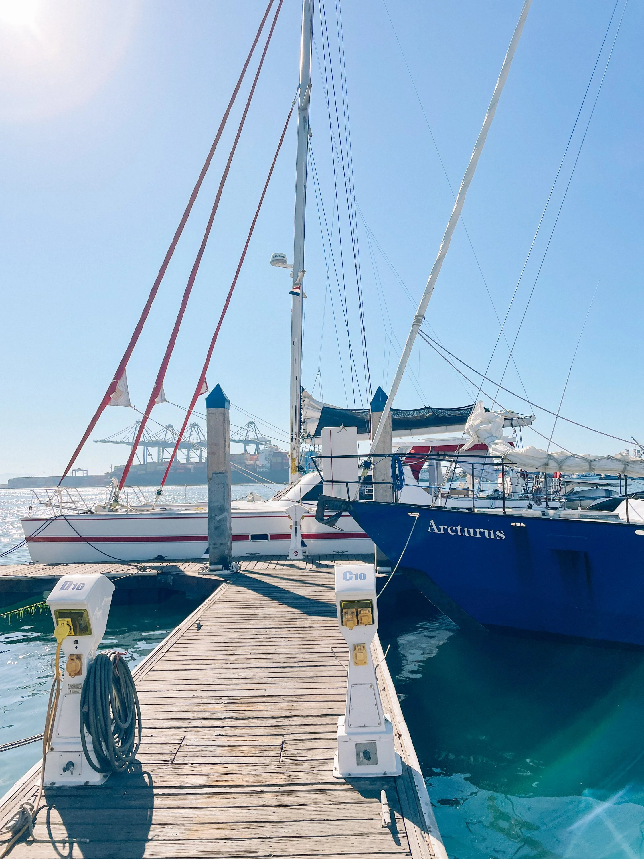
Arturus under sail
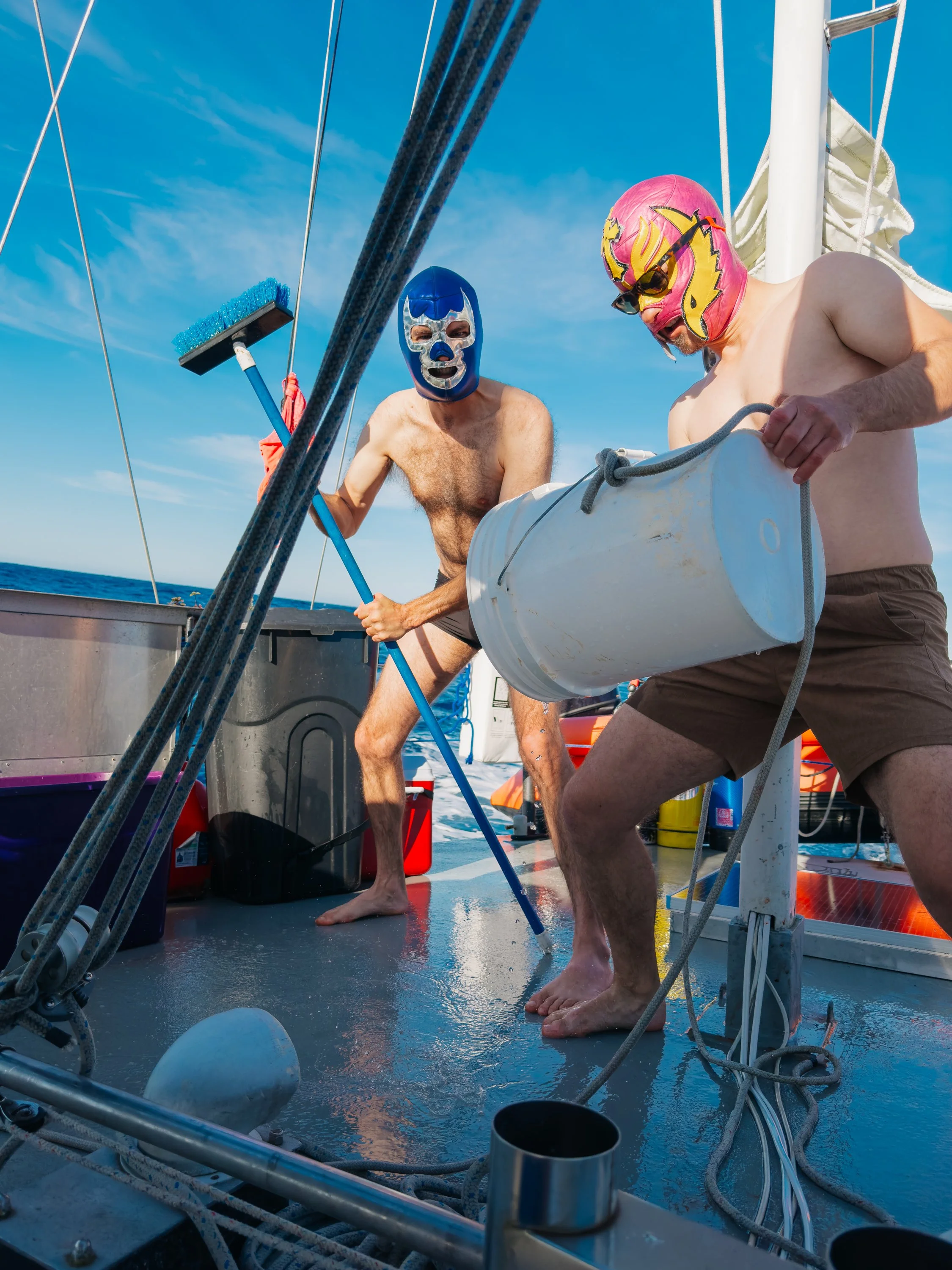
luchadors Swabbing the deck
At Laguna San Ignacio near Punta Abrejeos, the coastline opened into something altogether different. We anchored outside and rode the dinghy in, skimming across the surface like a long, unbroken wave. Inside, the lagoon stretched vast and luminous. Located within the El Vizcaíno Biosphere Reserve, this UNESCO World Heritage Site is one of the last undeveloped whale nurseries on Earth, a sanctuary where gray whales return each winter to birth and nurture their calves. In just weeks, these waters would be filled with them, completing one of the longest migrations of any mammal on the planet, nearly 10,000–12,000 miles round trip from the Arctic. And although we like to think we are traveling south of our own accord, long before charts, long before us, this route already existed… drawn not on maps, but in instinct of the natural world.The landscape felt almost surreal. Sand dunes rose in soft, wind-carved lines, backed by distant blue mountains, a scene that echoed the contours of the sand dunes found throughout the Mojave Desert. Dolphins moved through the channels as we explored deeper, slipping in and out of view. Mangroves formed a labyrinth of narrow waterways, green and winding like veins through the land. Onshore, the beach was scattered with shells and whale bones, a quiet reminder of the life cycles that define this place.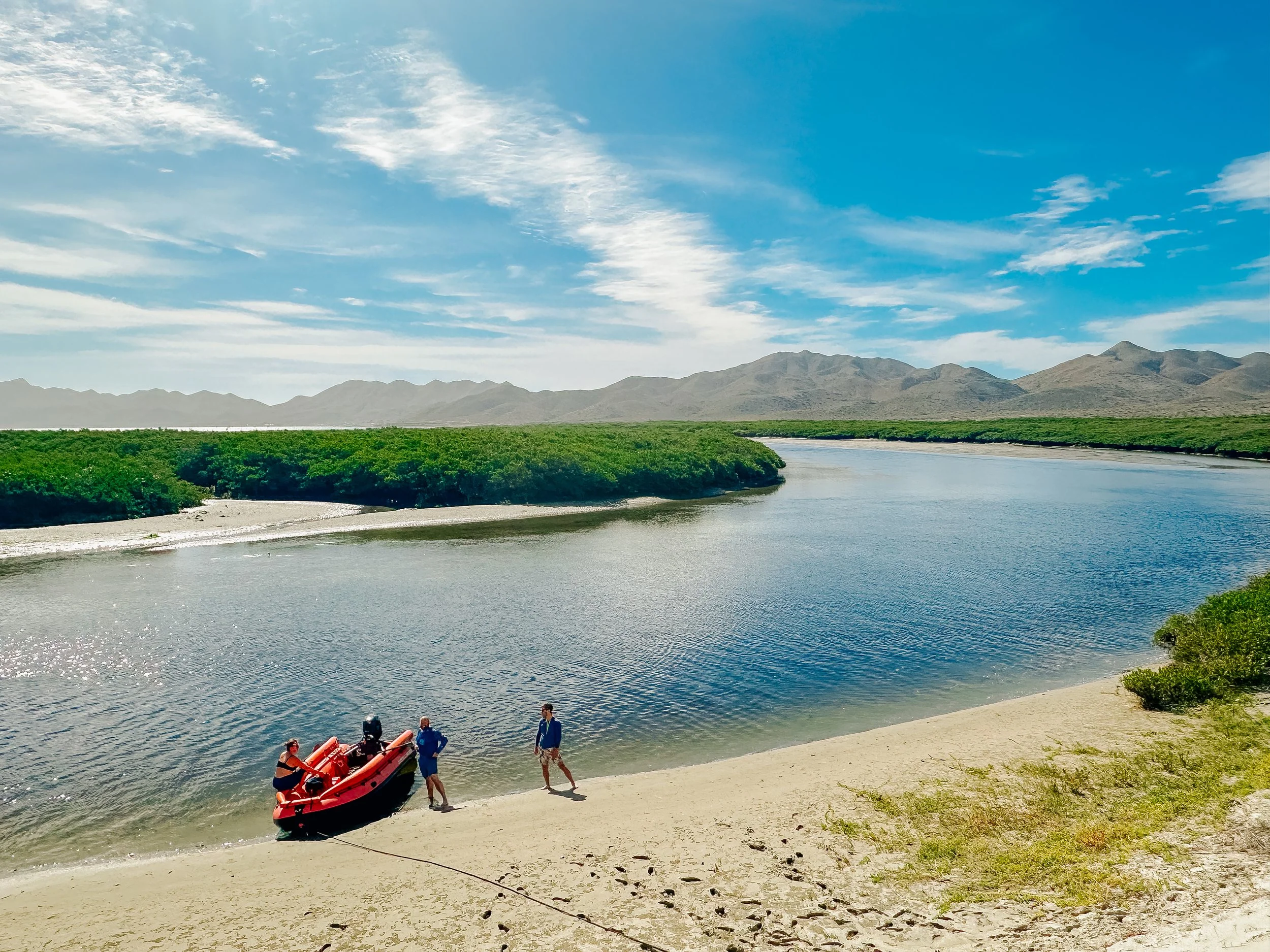
Mangroves at Magdalena Bay
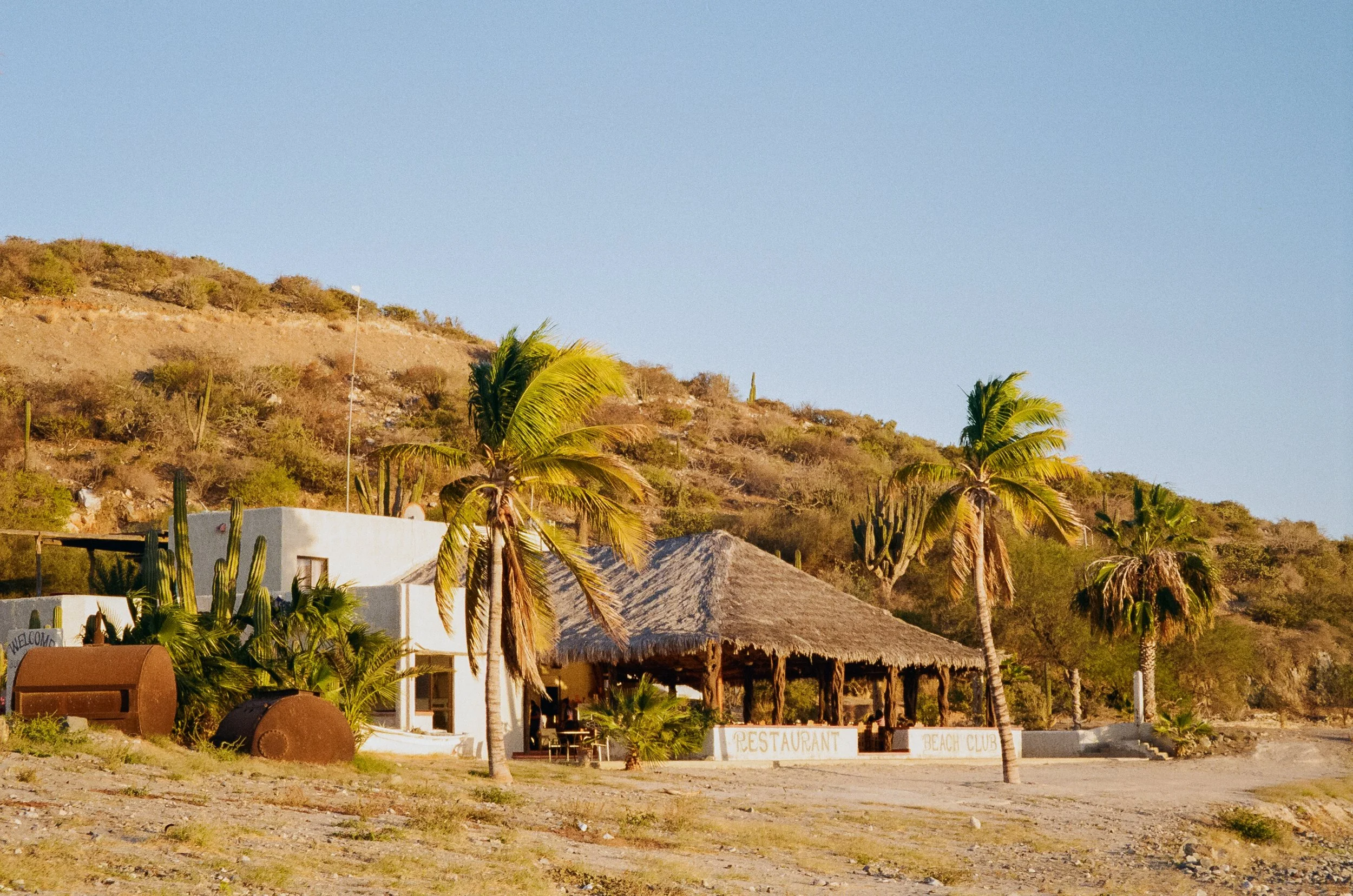
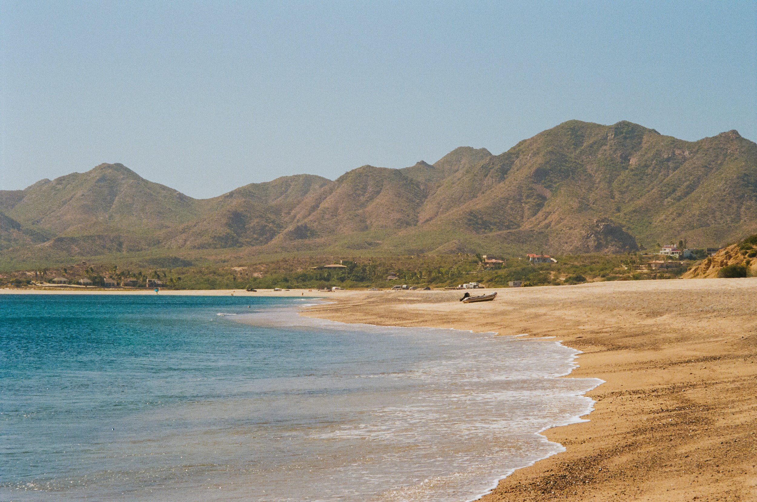
Further south, we stopped at Bahía Santa María before entering Magdalena Bay, where a small fishing camp and surf camp marked our landing, and from there we hiked to a vantage point overlooking the bay. For Louie and his friend, this place held memory: they had passed through here fifteen years before on Louie’s previous journey down the Baja coast. Watching them stand there, recalling fragments of a younger version of themselves, it felt as though time had folded in on itself.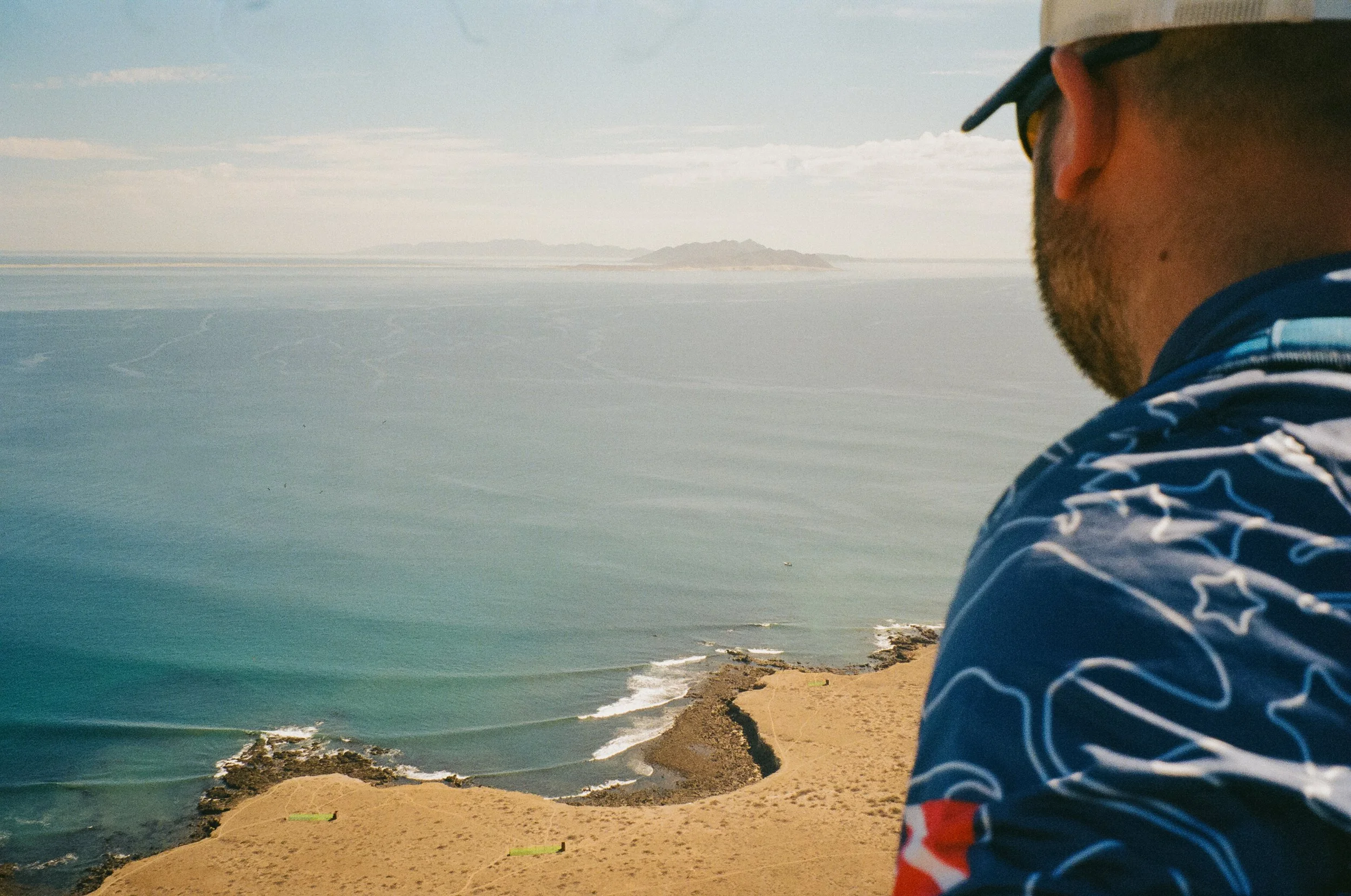
Bahía Santa María
Bahía Santa María
Bahía Santa María
Bahía Santa María
Bahía Santa María
Bahía Santa María
Upon entering Magdalena Bay, it became immediately clear that this was not a place you simply pass through. The bay unfolded in layers, with many channels, mangroves, hidden anchorages, with each turn revealing another quiet pocket of water and land. It felt like a place that required time, patience, and curiosity to truly know. A week, even longer, could be spent here tracing its edges and still leaving with more undiscovered than seen.We anchored in Puerto Magdalena and went ashore in search of lobster tacos at Restaurant MiraMar. But beneath the stillness of the bay lies a heavier past. In the 1800s, both Laguna San Ignacio and Magdalena Bay were global whaling hubs, with American, French, Russian, and Dutch ships anchoring here. In these same waters – now calm, protective, filled with life – there were once ships and smoke, the nursery grounds of gray whales turned into hunting grounds. It is difficult to reconcile the quiet of today with the violence that once unfolded here.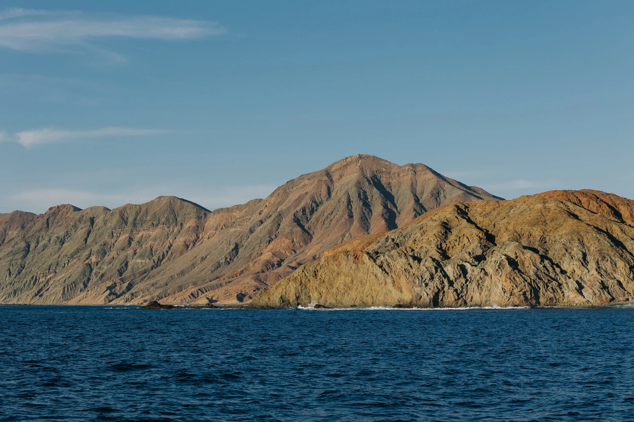
Outside Magdalena Bay
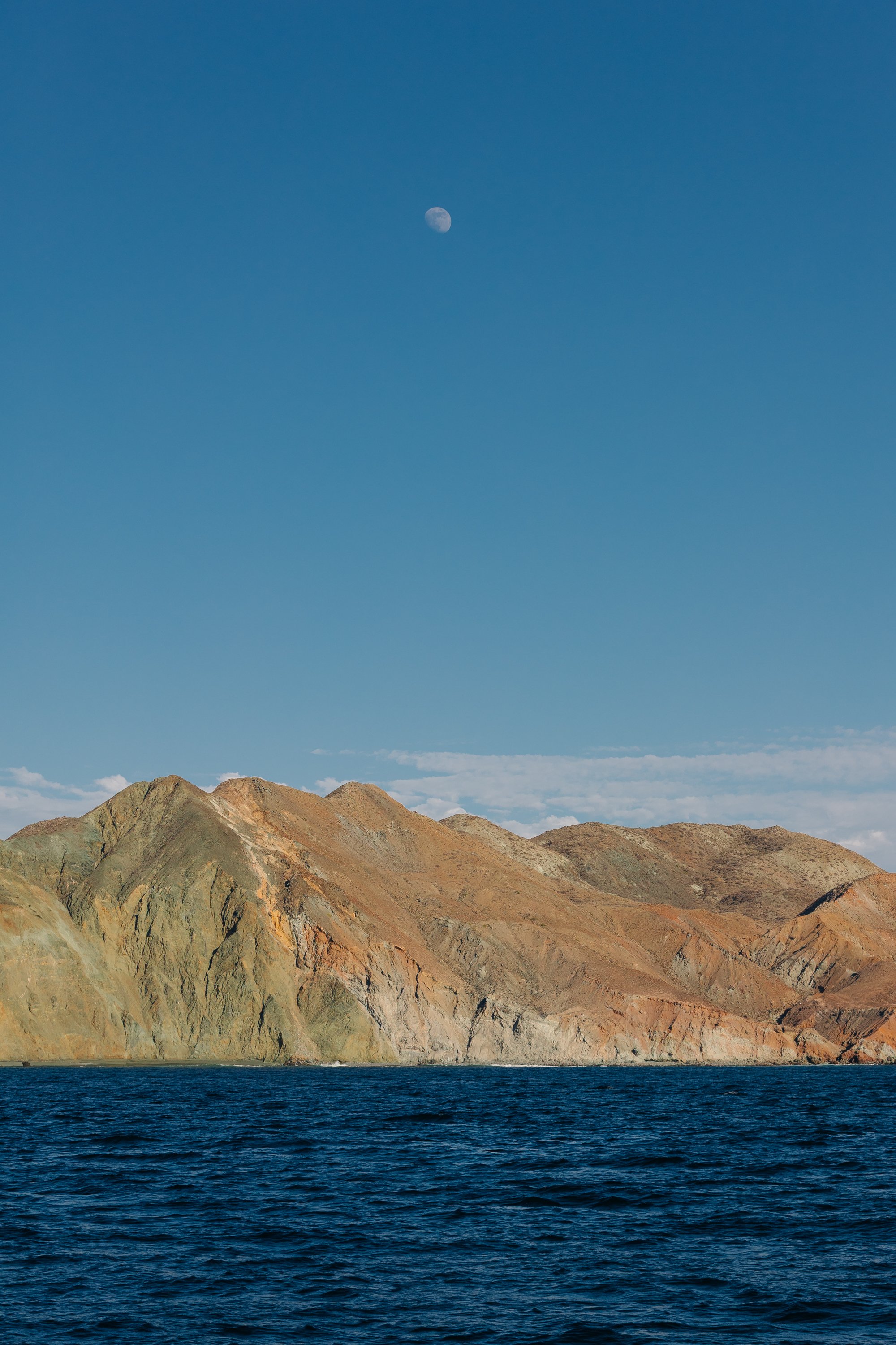
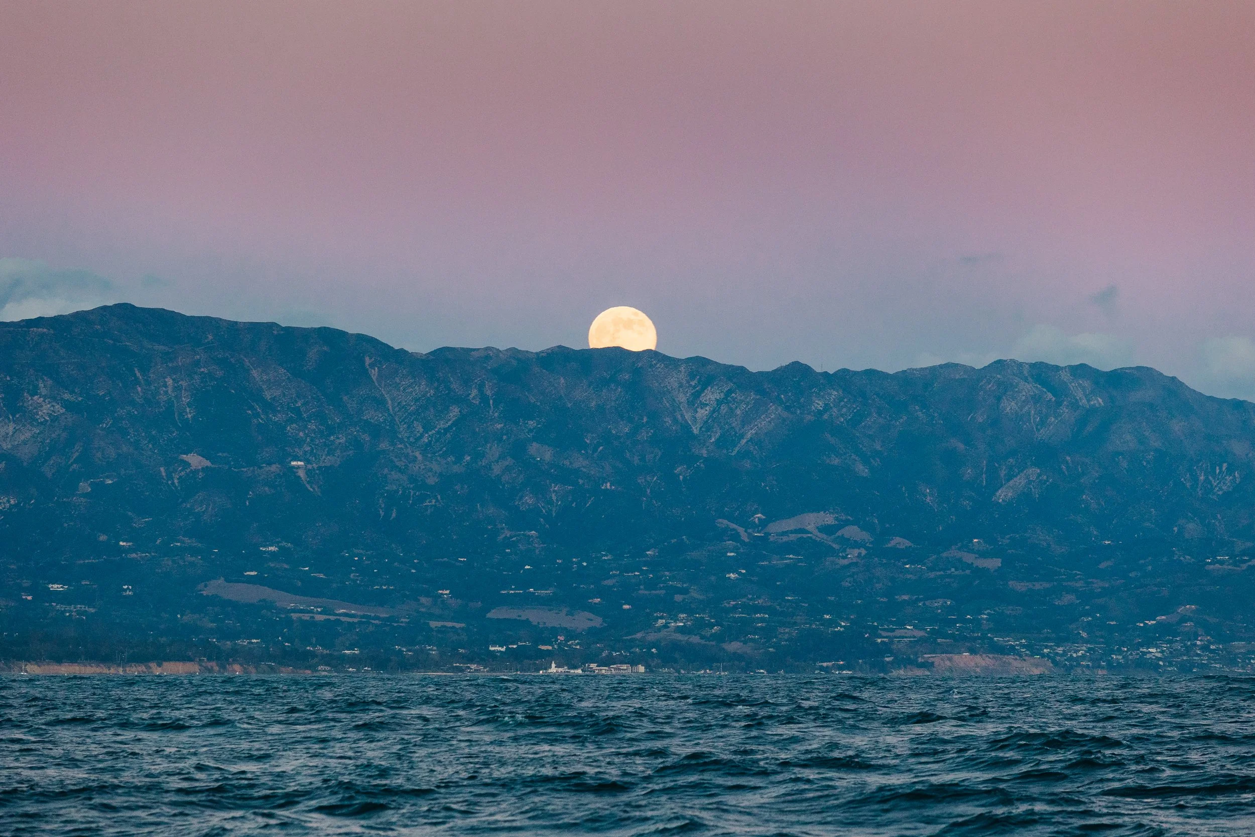
Moonrise over Magdalena Bay
Outside Magdalena Bay
Entering the Sea of Cortez: From Ocean Swell to Inland Sea
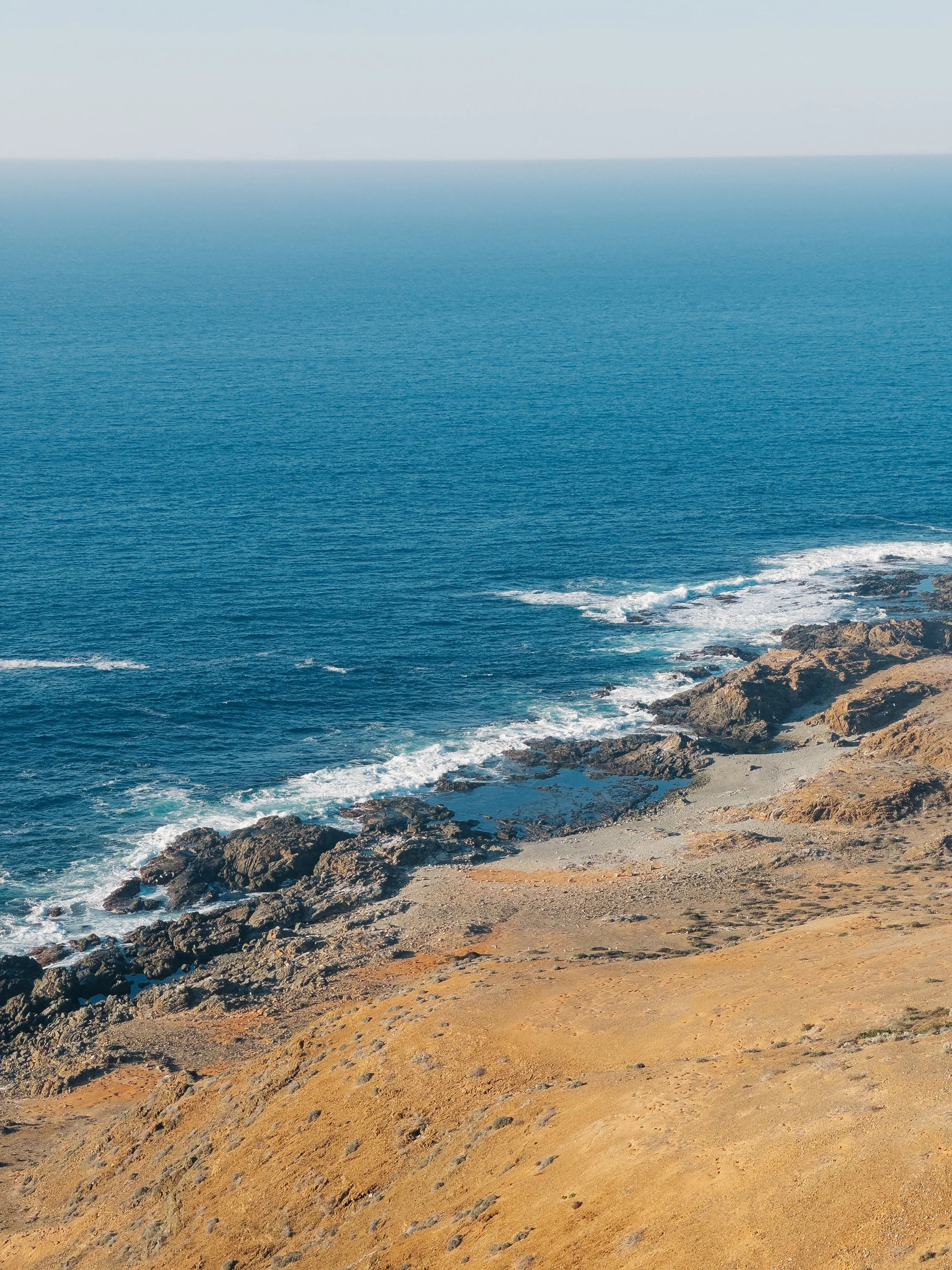
The final stretch south blurred slightly as we made our way to Cabo San Lucas. We had planned a crew change there, with only a brief stop as we accommodated arrivals and departures. Cabo was not our cup of tea… the anchorage was exposed and restless, made worse by relentless tourist boat traffic to see Cabo’s iconic rock formations, and bachelorette-filled motorboats blasting music. On shore, the grocery store for reprovisioning quote literally sat inside a mall. We traveled a few hours further northeast and stopped for the night at Puerto Los Cabos in search of somewhere quieter. Finally out of the city centers, we passed by the reefs of Cabo Pulmo National Park and dropped anchor at Los Frailes. Here, the coastline shifted once again, as dark volcanic rock meeting impossibly clear water, their edges softened by the rhythm of the swell. Below the surface, snorkeling revealed a different world entirely. Schools of vibrant fish moved through the shallows, weaving between rock and reef, offering our first real glimpse of the living coral systems that define this side of Baja, a striking contrast to the colder, more barren waters of the outer coast. As the day faded, the light came alive in a new way, casting long golden tones across the rocks and water, a warmth we hadn’t yet seen on the Pacific side.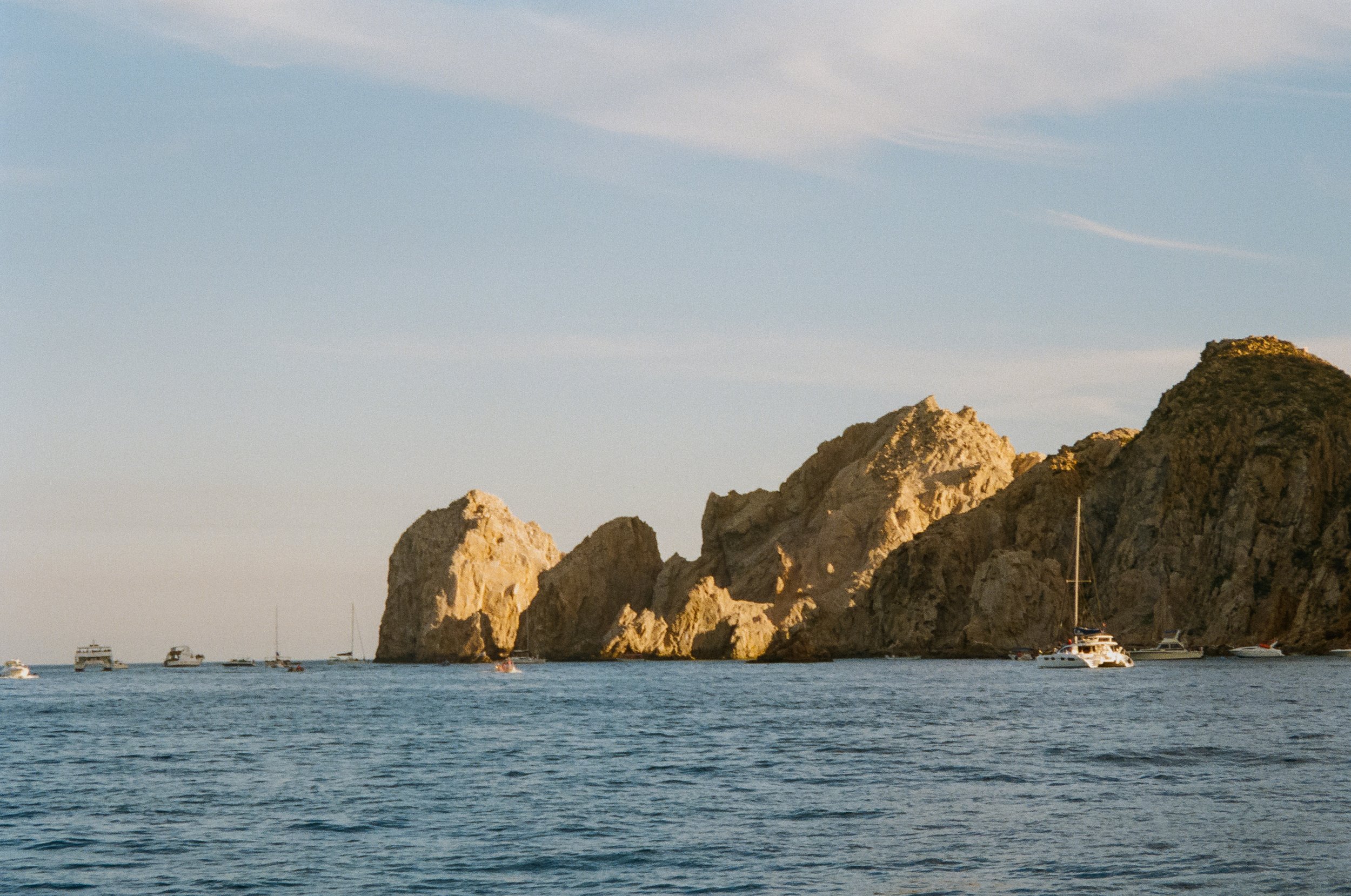
Cabo San Lucas
Bahia Los Frailes
Bahia Los Frailes
We pushed on to Ensenada de los Muertos, a picturesque bay that opened wide and welcoming after the rugged coastline behind us. A long stretch of pale sand curved gently along the shore, backed by desert hills that seemed to glow as the sun began to fall. The anchorage felt calm, expansive, and quietly alive. We made our way ashore to a charming beachside cantina, Restaurant 1535, where the rhythm of the day softened into evening. As the sun dipped below the horizon, the entire bay was bathed in a deep, honeyed light... mountains, sand, and sea all reflecting a warmth that lingered long after the last light had faded.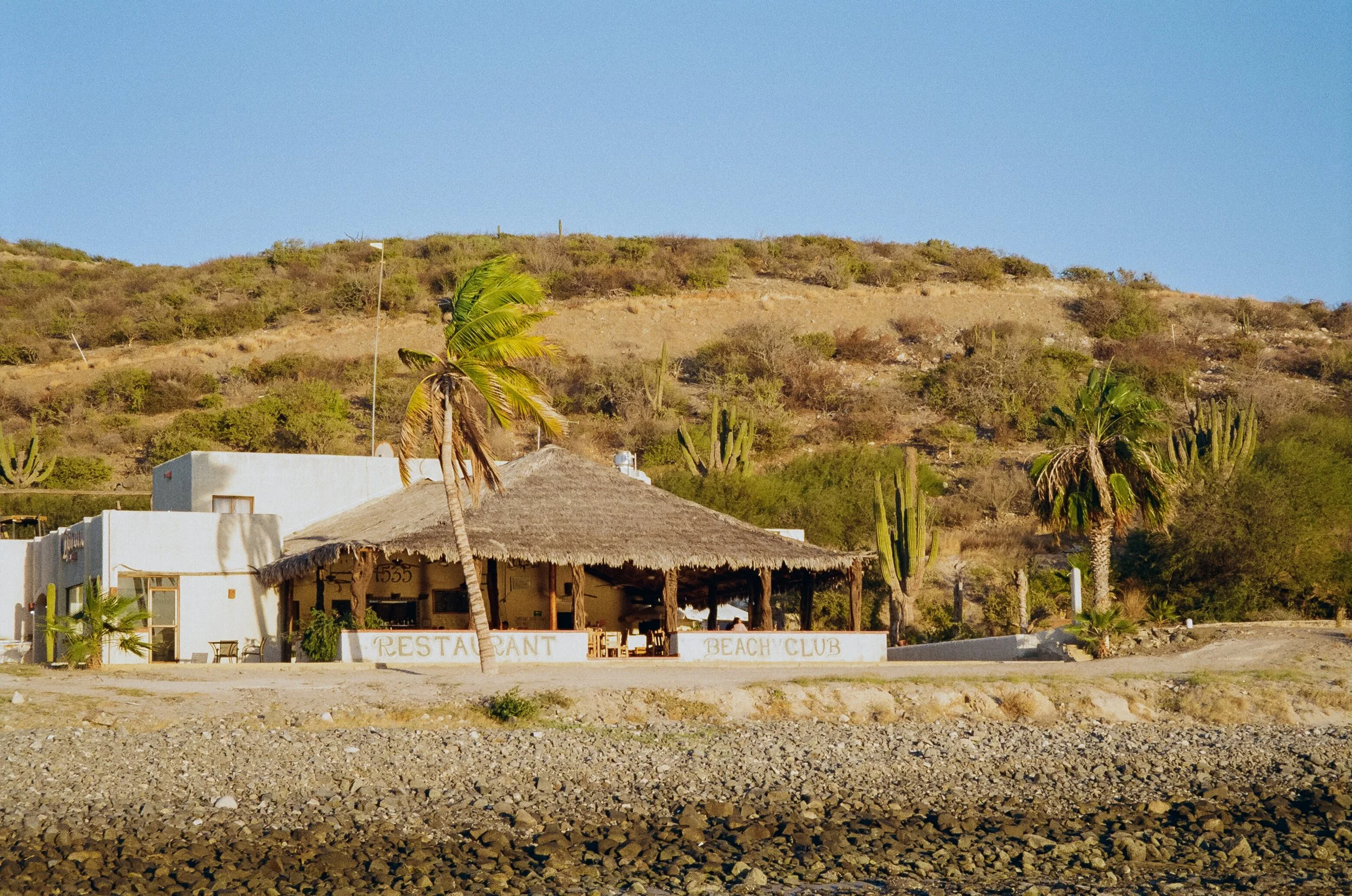
Restaurant 1535 in Ensenada de los Muertos
Bahia Los Frailes
Ensenada de los Muertos
Ensenada de los Muertos
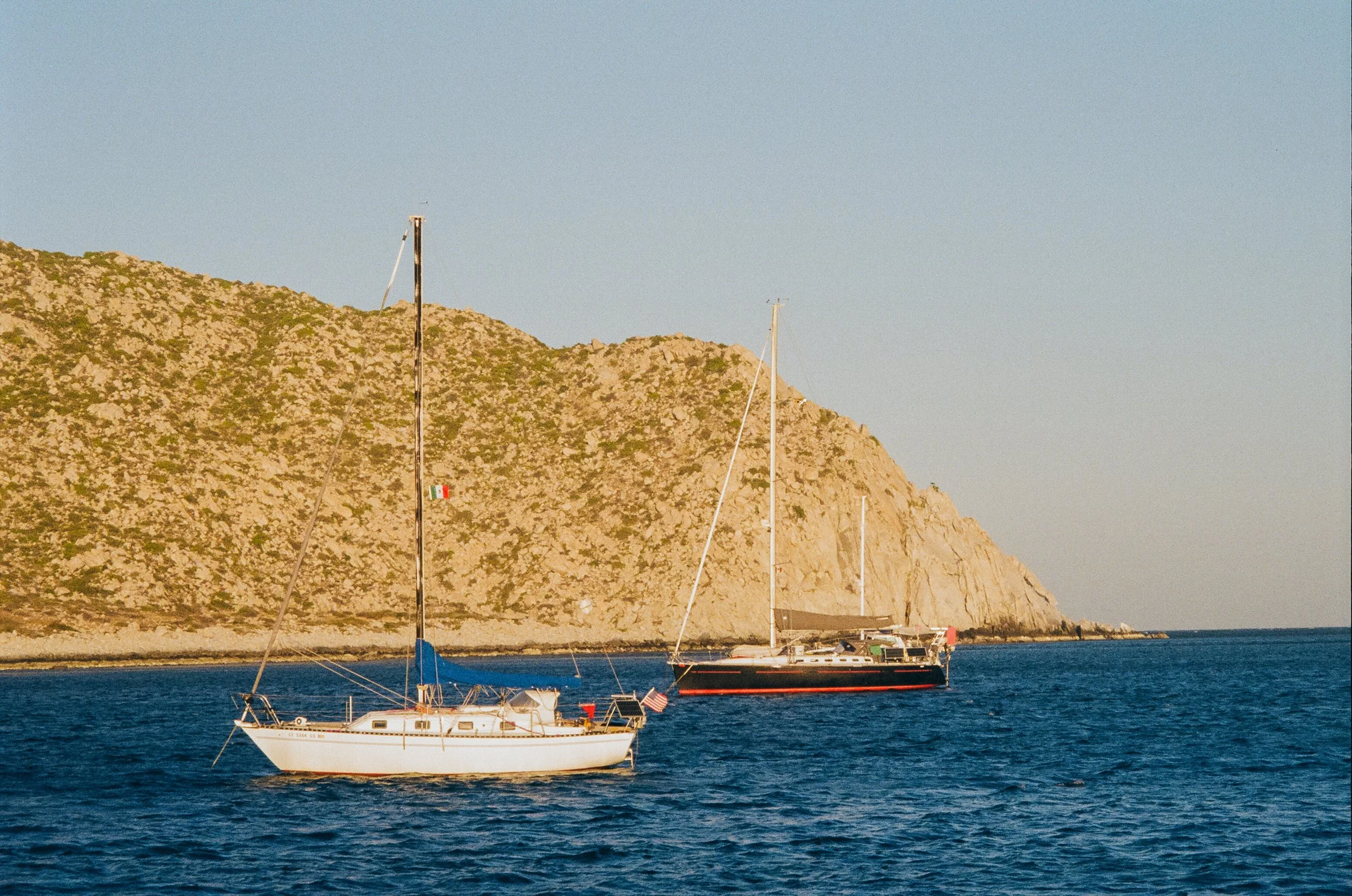
As we made our way deeper into the Sea of Cortez, passing Isla Cerralvo toward La Paz and Espíritu Santo, the landscape shifted and changed, marking a shift from vast, remote, and quietly surreal anchorages of the outer coast of the baja. There had been a spaciousness to it, a kind of openness, that reminded me of driving through the American Southwest. But here, there were seldom roads reaching the anchorages and small seaside villages we visited; no sense of scale beyond what the eye could hold. A desert, not beside the ocean, but entwined with it. 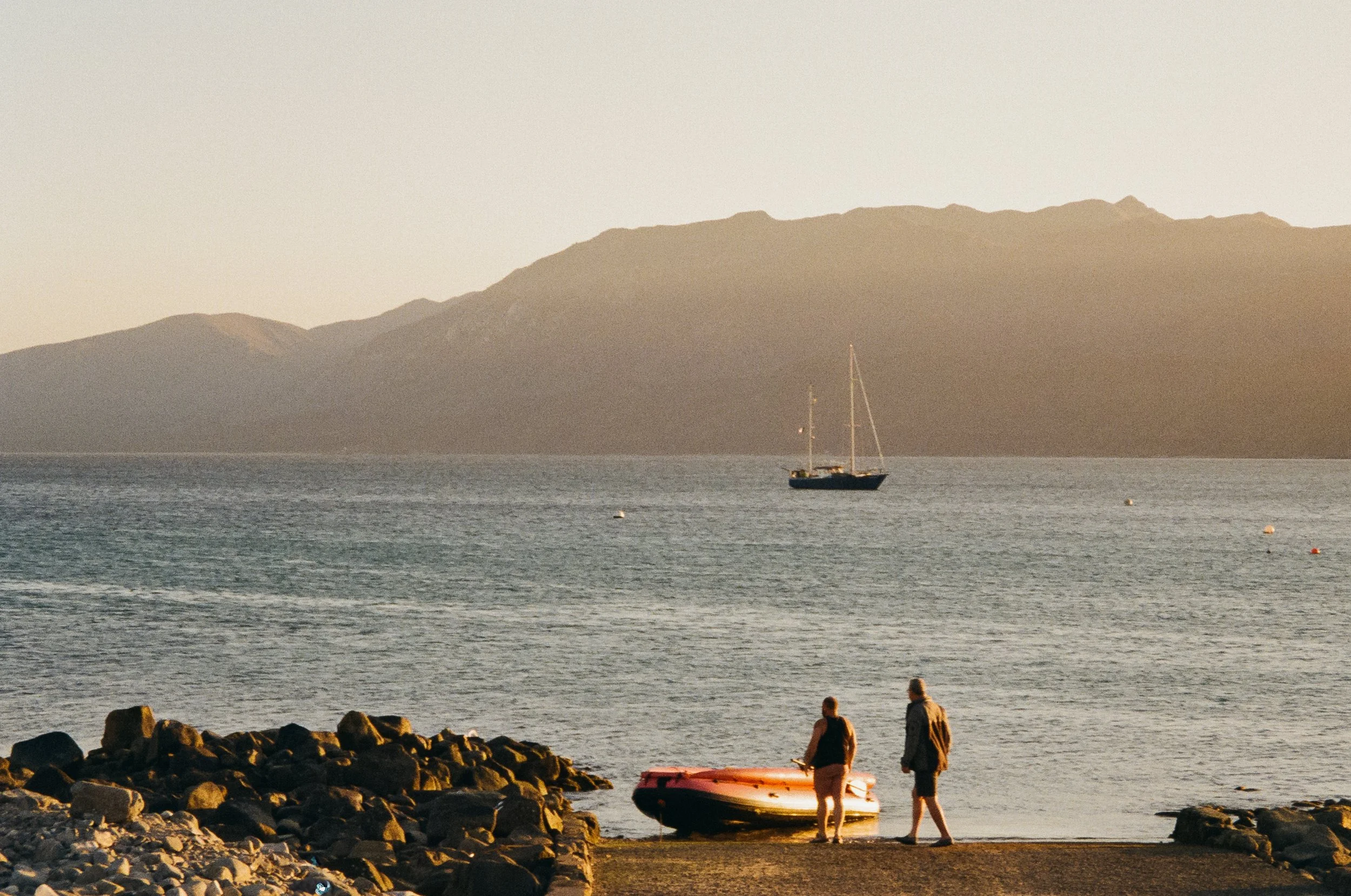
Ensenada de los Muertos
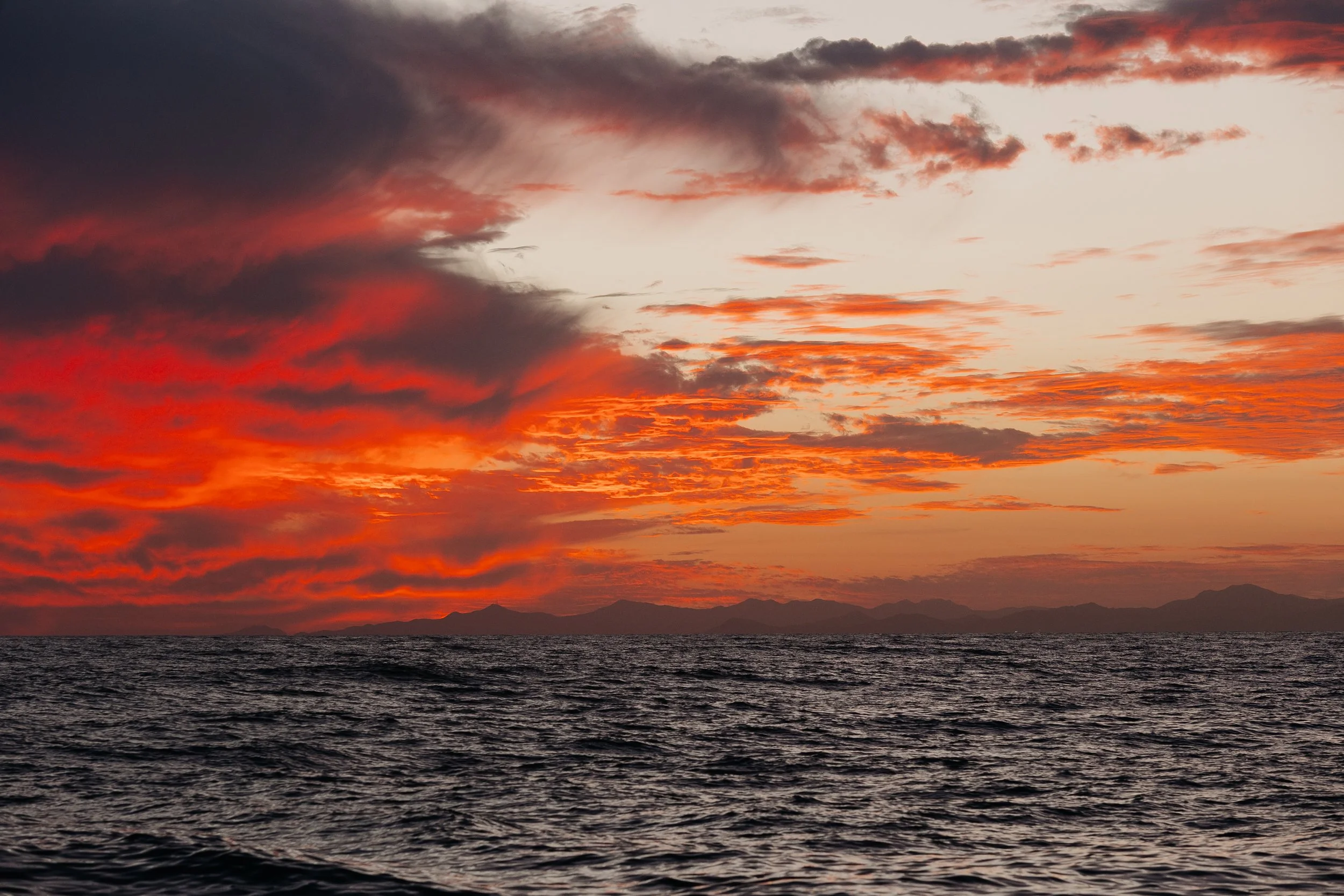
Sunset over the baja peninsula from the Sea of Cortez
Adventures, Words & Photos by Lerina Winter & Captain Louis Hoock
Originally Published: April 13th, 2026
See Where S/V Arcturus is now on No Foreign Land: