
Isles of Endless Summer: the Whimsical North Island of New Zealand
Wandering the Bays, Islands & Rolling Hills of Aotearoa’s Te Ika-a-Māui
After months spent wandering through the warm reaches of the South Pacific, New Zealand (Aotearoa) felt like a threshold into an entirely different world. Gone were the coral-ringed atolls and palms leaning over turquoise lagoons. In their place rose green hills, forested headlands, cooler blue-grey seas, and sheltered coves tucked beneath mountains. The weather seemed to carry a temperament of its own, changing from sunlight to rain and back again before we had time to put away our jackets. We arrived on the North Island (Te Ika-a-Māui) via the Bay of Islands in November 2025 after roughly ten days at sea, eager to stretch our legs and equally eager to begin understanding this new landscape. New Zealand would eventually become one of the longest chapters of our voyage: five months of sailing, hiking, day-long road trips, weather delays, changed plans, and unexpected discoveries. But at the time of our arrival, we had very little idea just how varied those months would become. Our introduction began in Northland.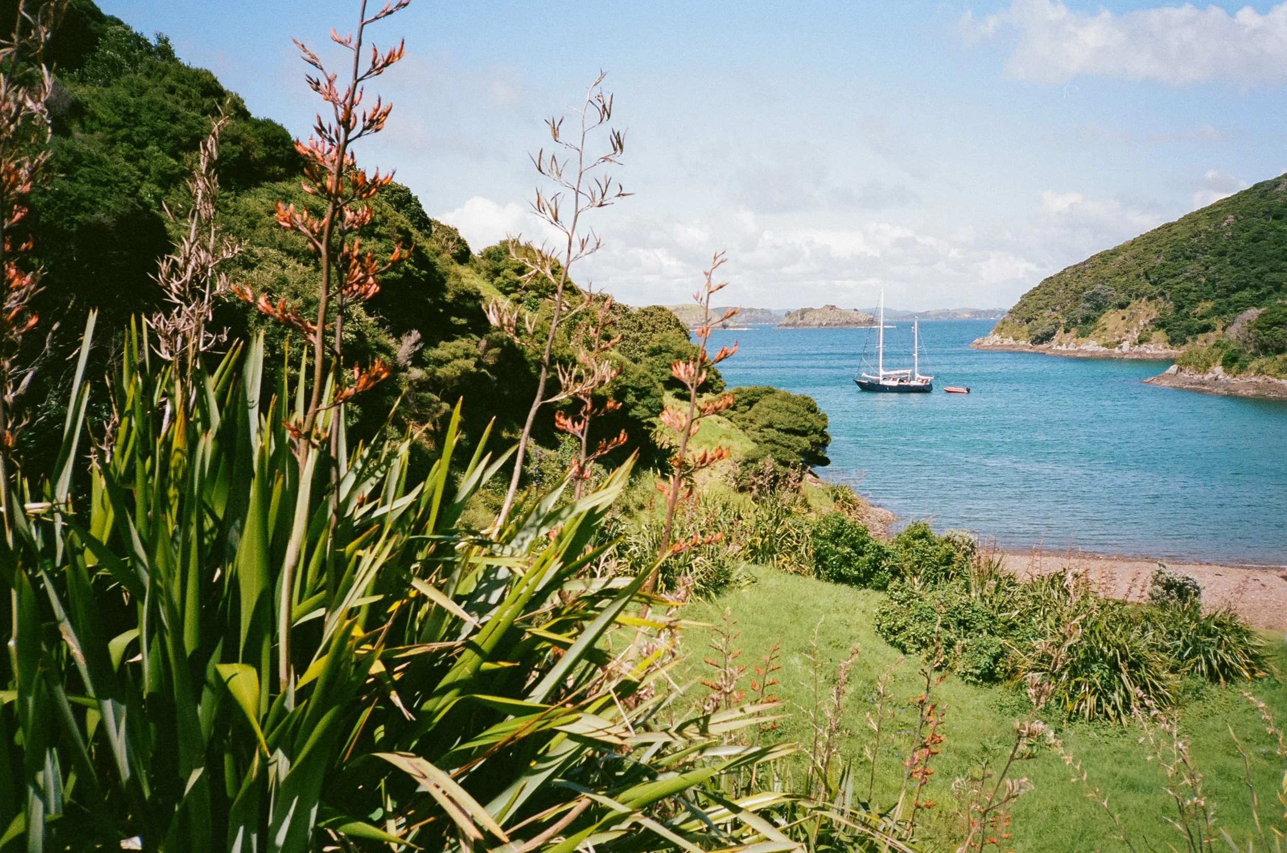
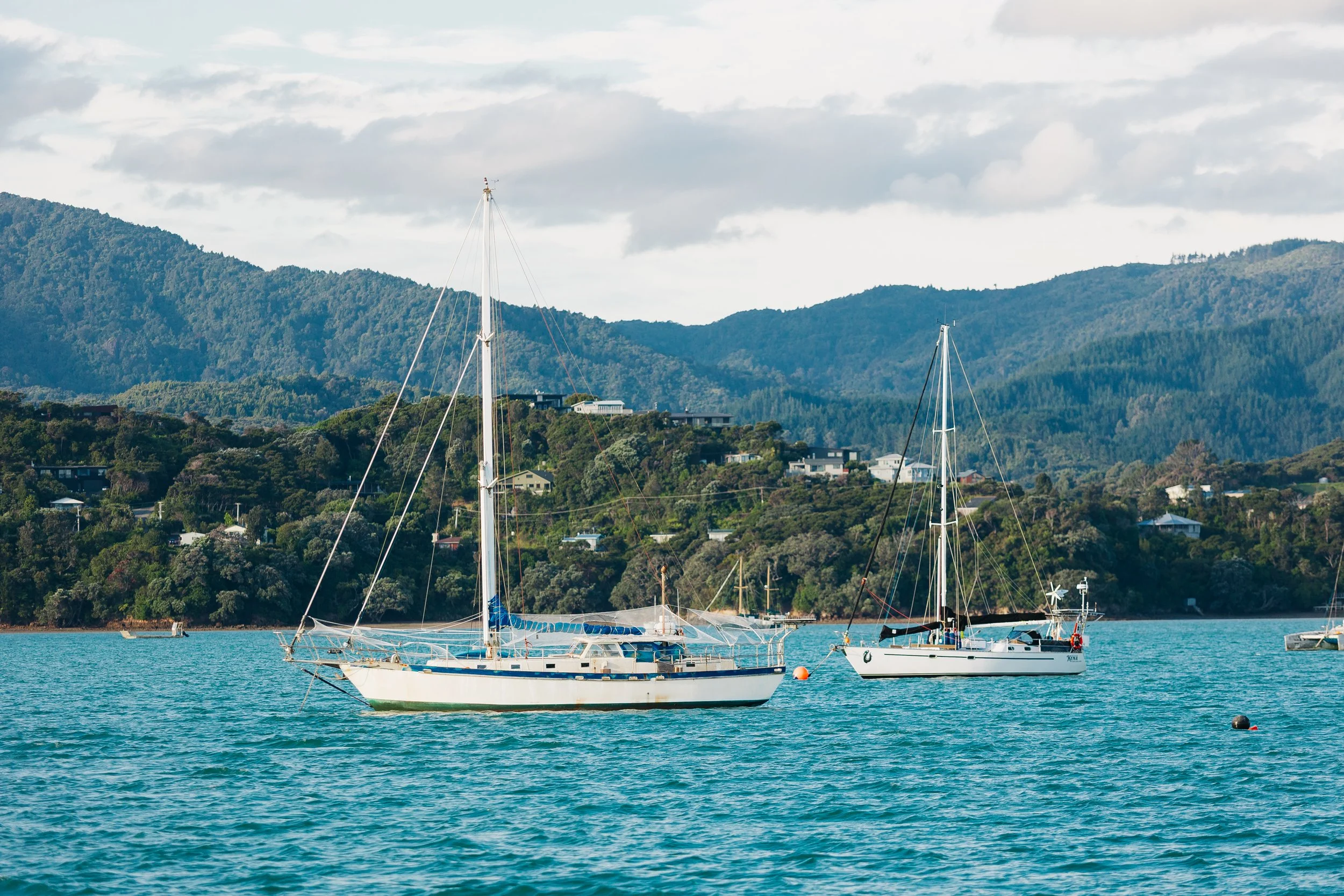
Bay of Islands
Great Barrier ISland
Great Barrier ISland
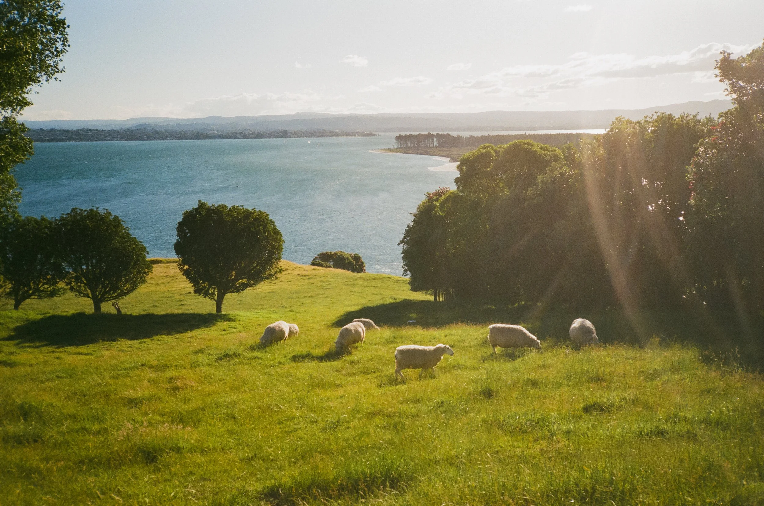
Tauranga
We pulled alongside the customs quarantine dock in Opua just as the sun began rising through the mist, casting a pale glow across the harbor. It was the first truly cool weather we had experienced in nearly a year. November meant spring was settling over New Zealand, while we had been following warm weather through the tropics since the year before, and the crisp morning air felt almost novel.A strong current was running through the harbor as we approached the dock, made slightly more complicated by the fact that our transmission was still on the fritz. With limited maneuverability, we used the dinghy alongside Arcturus to help nudge ourselves into position and get securely tied up.The quarantine docks themselves were little more than two floating docks disconnected from shore, leaving arriving boats to wait patiently aboard until customs and biosecurity officers came out to begin the formalities. Over the course of the morning and into the early afternoon, four different officers visited us, each one remarkably friendly and welcoming.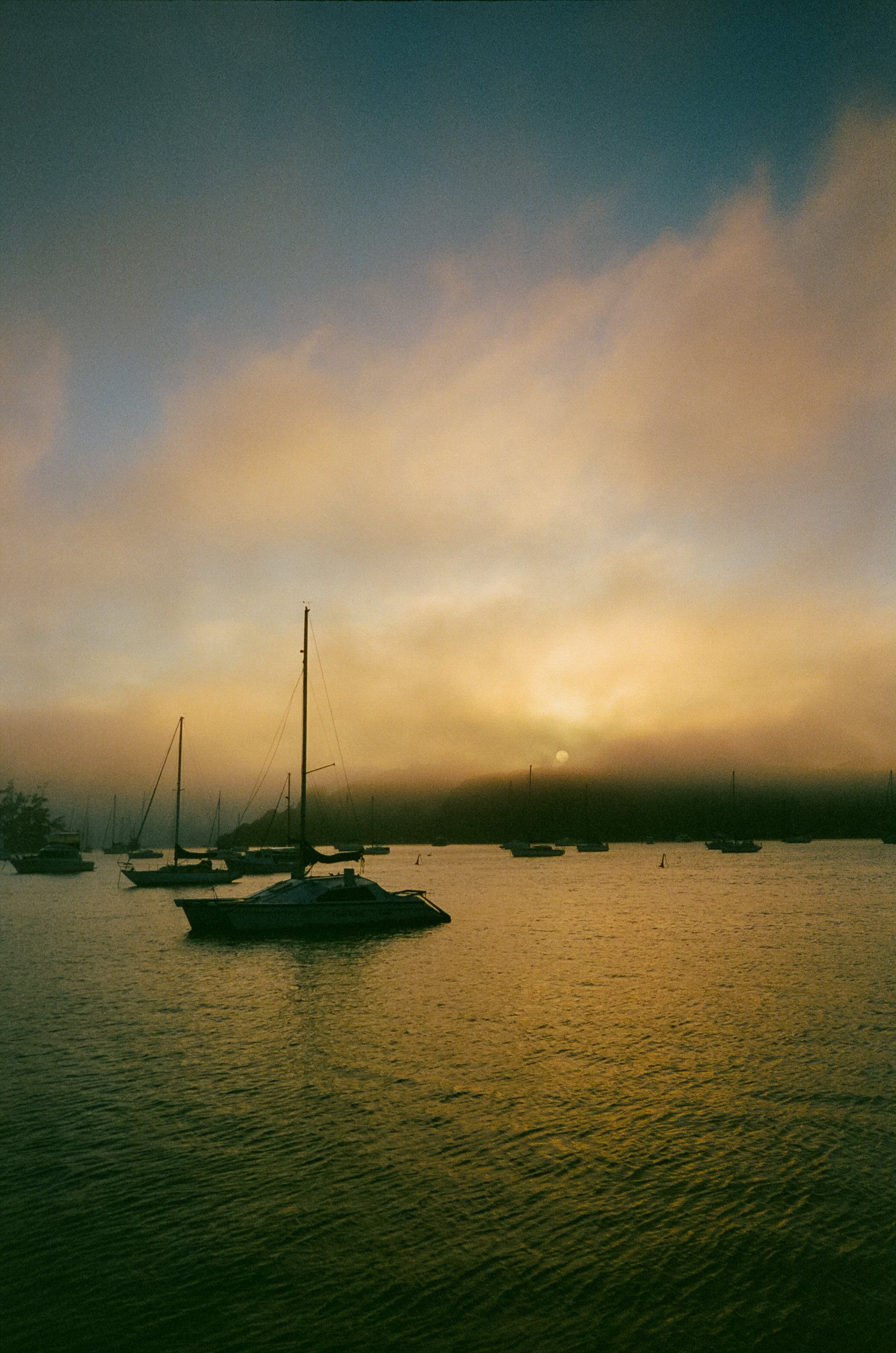
Bay of Islands
The first inspected our passports, paperwork, and medications. When we began asking him questions about which foods we would be allowed to keep, he explained that another officer from biosecurity would handle that part. “I’m drugs, they’re bugs,” he said, and we all laughed.Not long after, two uniformed officers came aboard to inspect beneath the floorboards and peer into the various lockers and cubbies scattered throughout the boat, making sure we weren't carrying weapons or attempting to smuggle anything into the country. Their search led them to one of our more ridiculous pieces of boat décor: a fake grenade labeled, Complaint Department: Take a Number, complete with a little number-one tag attached to the pin. Instead of appearing particularly concerned, they thought it was hilarious. They liked it enough that they asked Louie to take a photo of the two of them posing with it.As they wrapped up, our final visitor stepped aboard from biosecurity. Before leaving Fiji, while Arcturus was still hauled out of the water, we had taken a video of the freshly painted hull and submitted it to New Zealand biosecurity for preapproval. They had accepted it, which meant we were able to bypass an additional underwater inspection upon arrival. Normally, officers use a submerged camera to check the hull for marine growth and invasive species before allowing a foreign vessel to move freely through New Zealand waters. Our biosecurity officer was thrilled. “Please tell everyone in the sailing community to do what you did,” she told us enthusiastically. “Haul your boat out, clean it properly, and paint it before coming to New Zealand!” So, if you're a sailor reading this: consider that your sign. Make the New Zealand biosecurity team love you.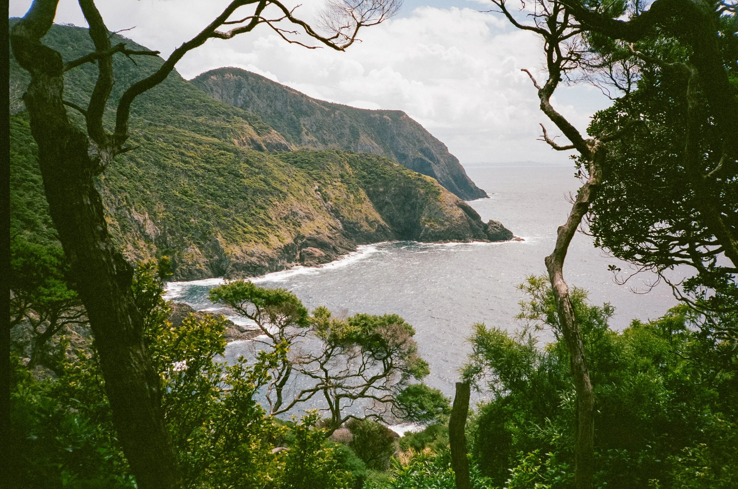
Cape Brett, Bay of Islands
She also got a kick out of Louie's last name, Hoock, deciding it sounded appropriately pirate-like for someone arriving aboard a sailboat. The rest of the inspection went smoothly. Before landfall, we had carefully separated our ship's stores into what we thought we would be allowed to keep and what we assumed would be confiscated, with uncooked beans and lentils among the primary casualties. During our crossing, we had eaten more beans than we probably previously had in our entire lives, making everything from burritos to a very creative szechuan mung bean dip that resembled hummus. We had one last pot of rice and beans that we cooked up and had in the refrigerator, and when the customs officer peaked inside she asked what it was. “Beans and rice” I answered, to which she responded “are they cooked?” and I said “Yes, we decided to make a large pot of them cooked up so that we could keep them instead of have them taken away.” She looked at me with a very sly smile and said “very smart” as she nodded with approval, impressed with our decision making, In the end, we were pleasantly surprised by how much food we were permitted to bring in. The officer seemed equally surprised that after a long ocean passage we had arrived carrying no meat or fish at all. With the paperwork finished, our food cleared, and our clean hull already approved, she wished us safe travels. Thanks to that bit of preparation back in Fiji, we slipped away from the quarantine dock ahead of several boats that had arrived before us.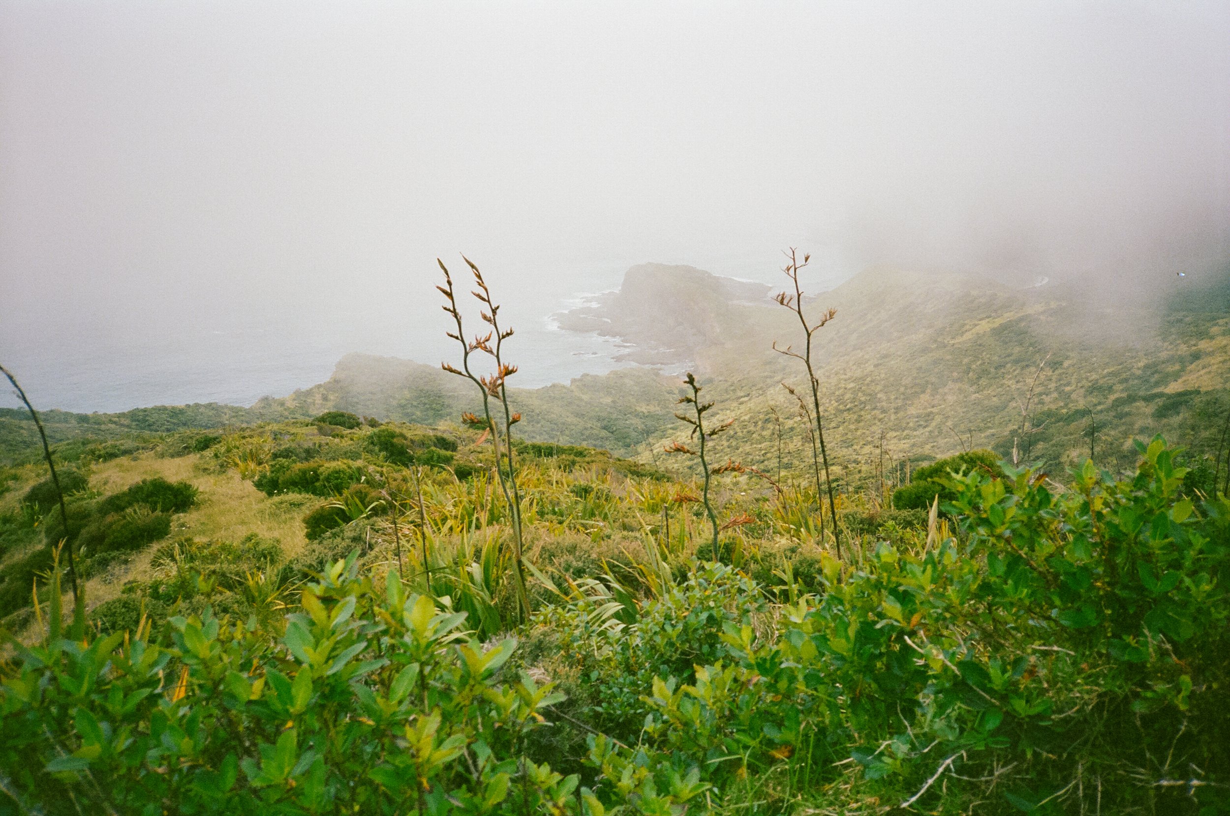
Cape Reinga
To the Edge of the Island
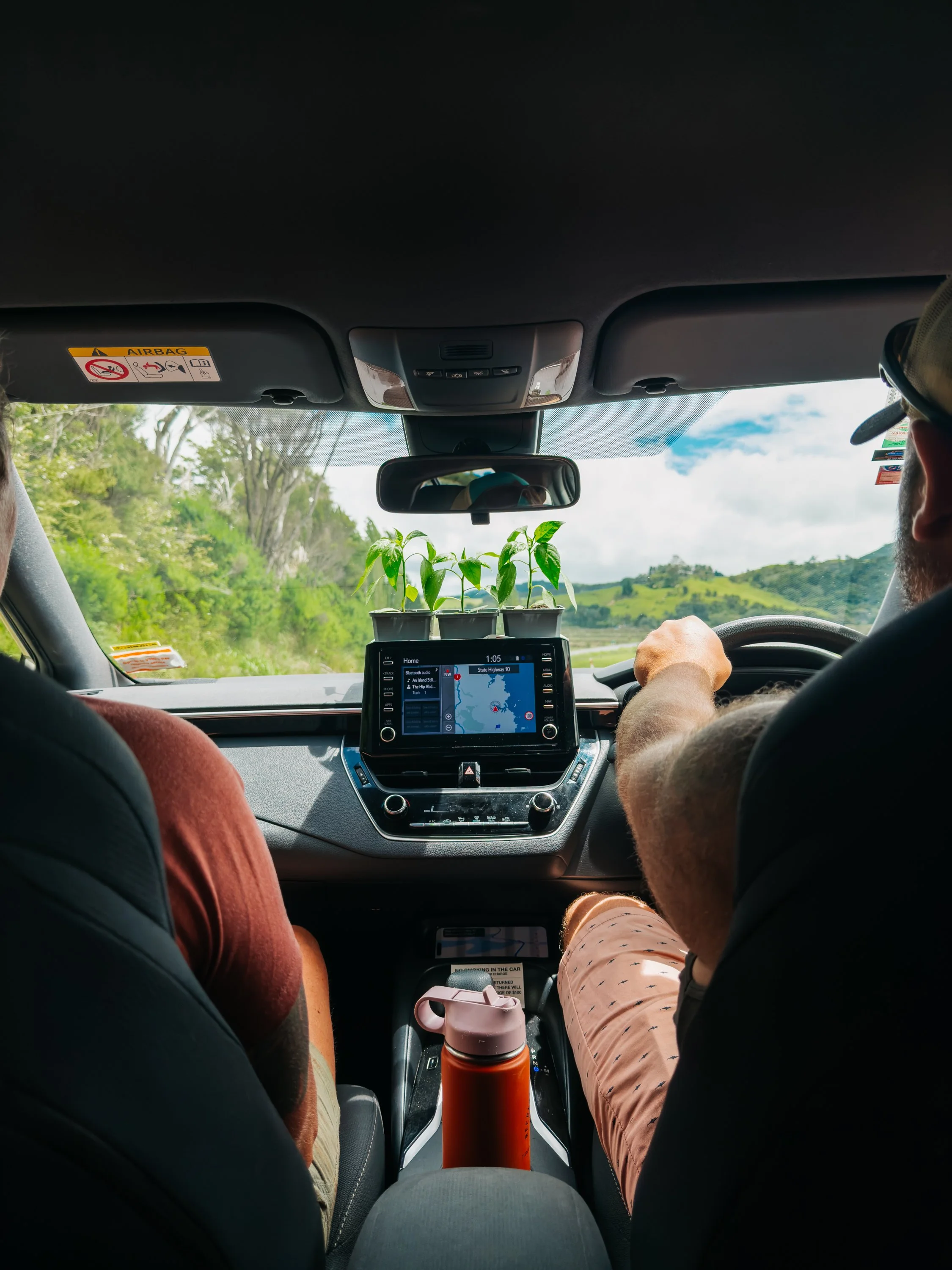
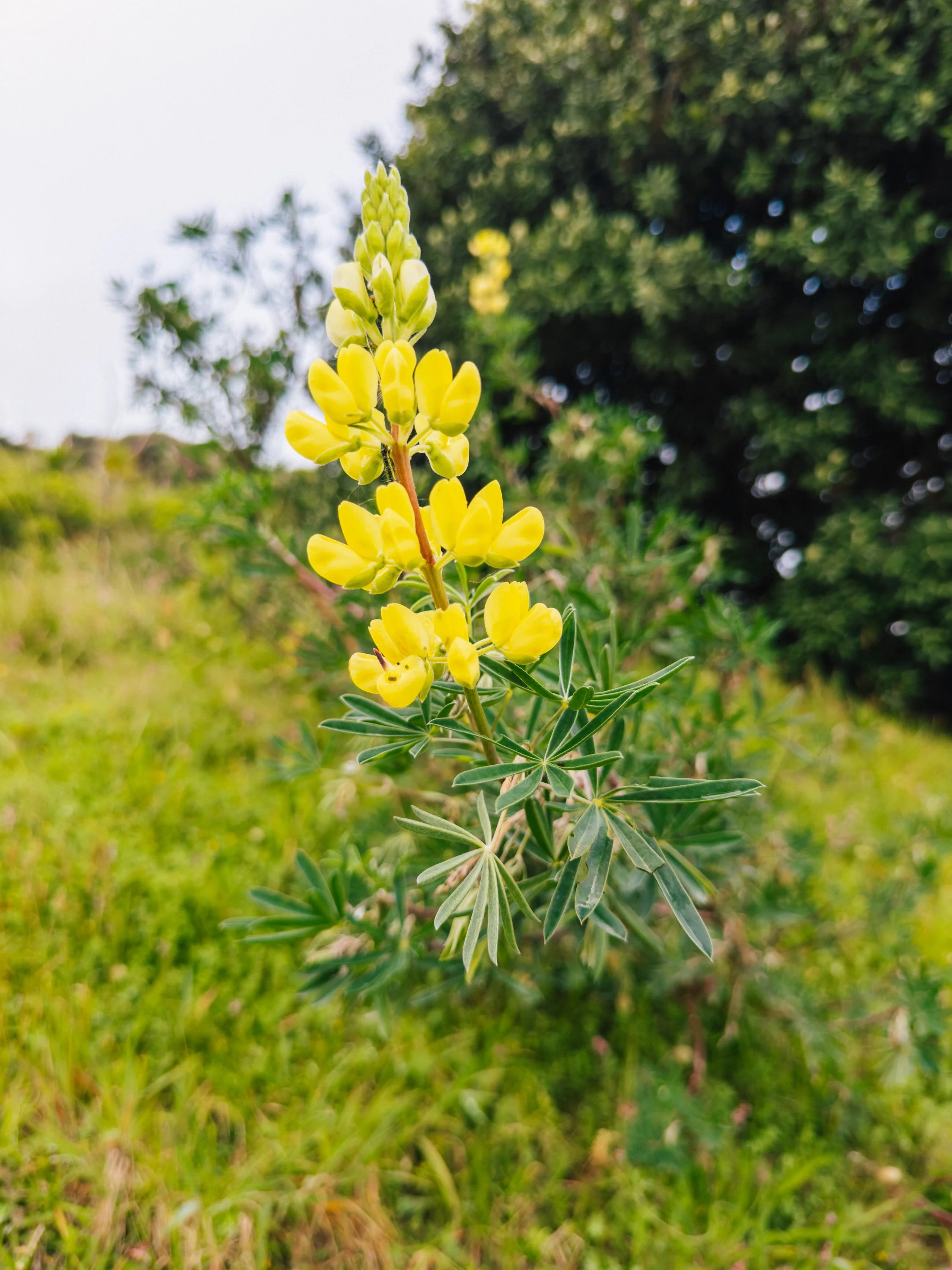
After so many days confined to the boundaries of the boat, it was no surprise that renting a car felt liberating. Our first long drive took us south to Auckland to collect my cousin and her friend from the airport, along with a rather less glamorous passenger: a new-to-us transmission we had tracked down at a marine shop in the city's industrial outskirts.The following day, we left Arcturus behind once again and pointed the car north, bound for Cape Reinga at the very tip of the North Island. The farther we drove, the more the landscape seemed to unravel into open country. Towns grew smaller, the road quieter, and eventually the land narrowed between two enormous bodies of water. Our first stop was Paihia, only about ten minutes north of Opua, yet distinctly more lively. The small seaside town was filled with restaurants, shops, tour boats, and travelers moving along the waterfront. We stopped for lunch at a restaurant called Bad Habits before continuing north.By comparison, Opua felt less like a town and more like a harbor built around the needs of passing boats. There was the Opua Cruising Club, where sailors gathered for drinks and meals, and a small general store where we could pick up basic provisions, but little else to tempt us ashore. Just beyond Paihia lay Waitangi and the Treaty Grounds, where the Treaty of Waitangi was first signed in 1840, adding yet another layer of history to a coastline already dense with it.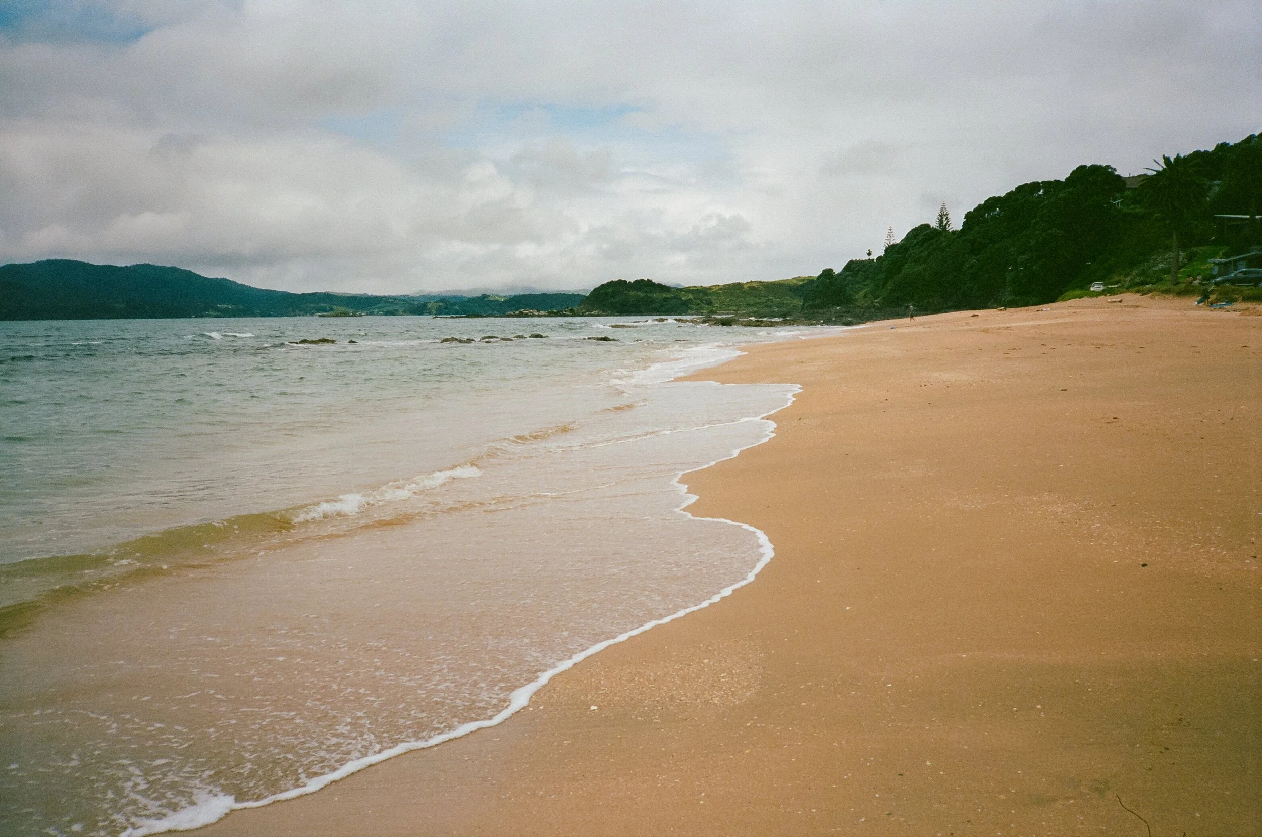
Northland, New Zealand
Northland, New Zealand
Northland, New Zealand
Northland, New Zealand
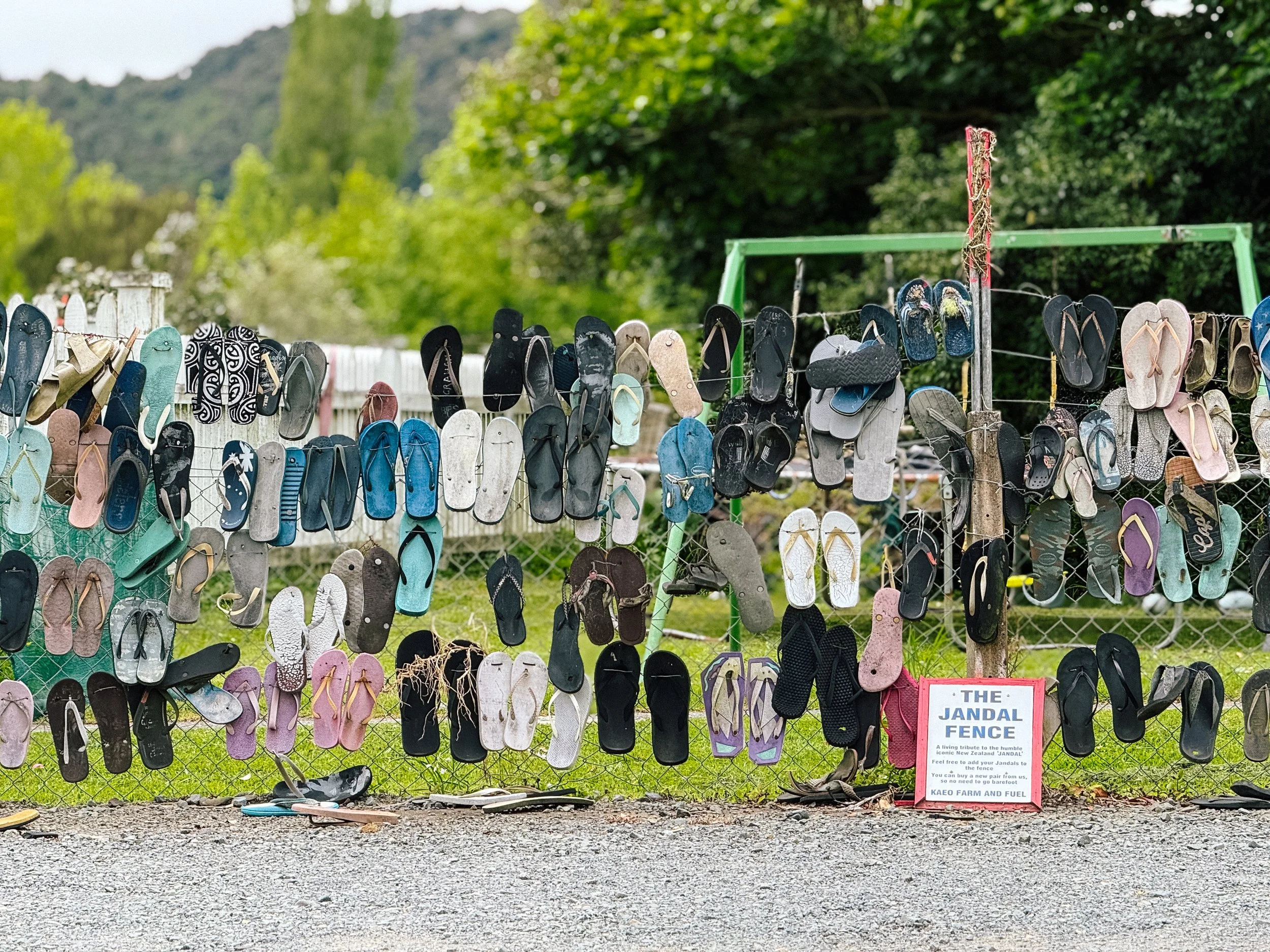
It was also on this road trip that we began expanding our vocabulary with a few favorite pieces of Kiwi slang, aided by a small New Zealand slang book my cousin had brought along. The first was “sweet as”, an enthusiastic catch-all roughly equivalent to “great,” “cool,” or “sounds good,” which quickly became our response to almost everything. We also discovered op shops, short for opportunity shops and essentially New Zealand's version of thrift stores, which naturally meant we needed to visit a few.Then there were jandals. At a roadside gas station, we came across a fence covered in old flip-flops and sandals, each one hanging like some peculiar form of roadside decoration. We learned that jandals is the local word for flip-flops, and the sight of an entire fence dedicated to them felt appropriately whimsical. The same gas station was also selling jalapeño plants. Naturally, we bought two for the boat garden.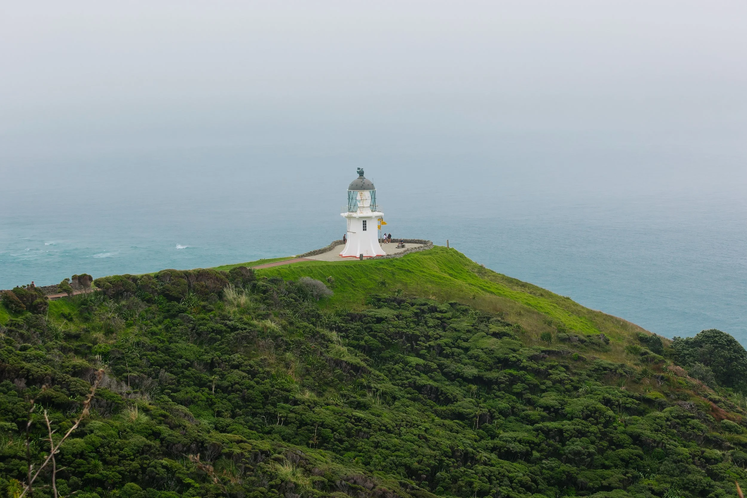
Cape Reinga
Cape Reinga
Cape Reinga
Cape Reinga
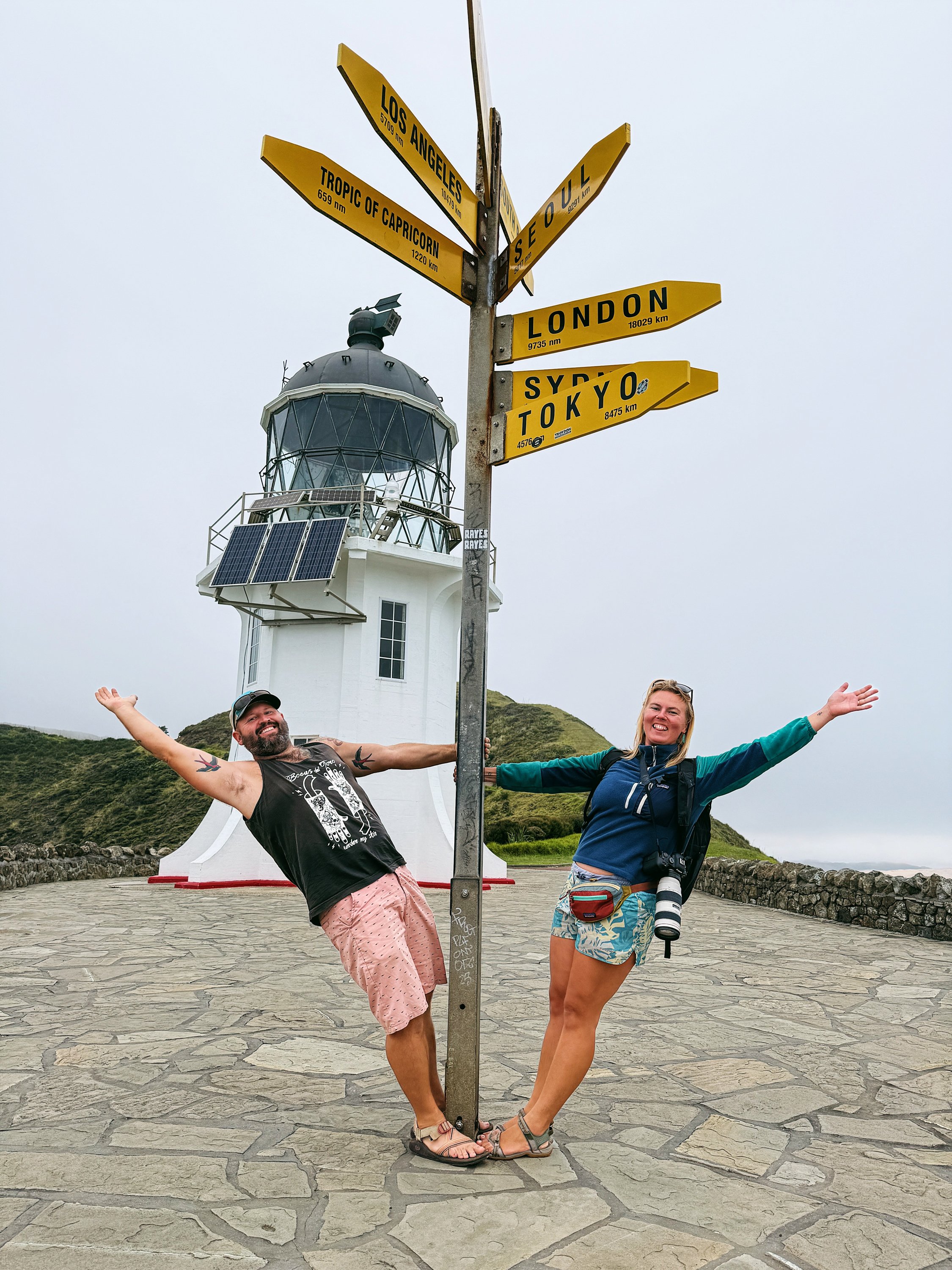
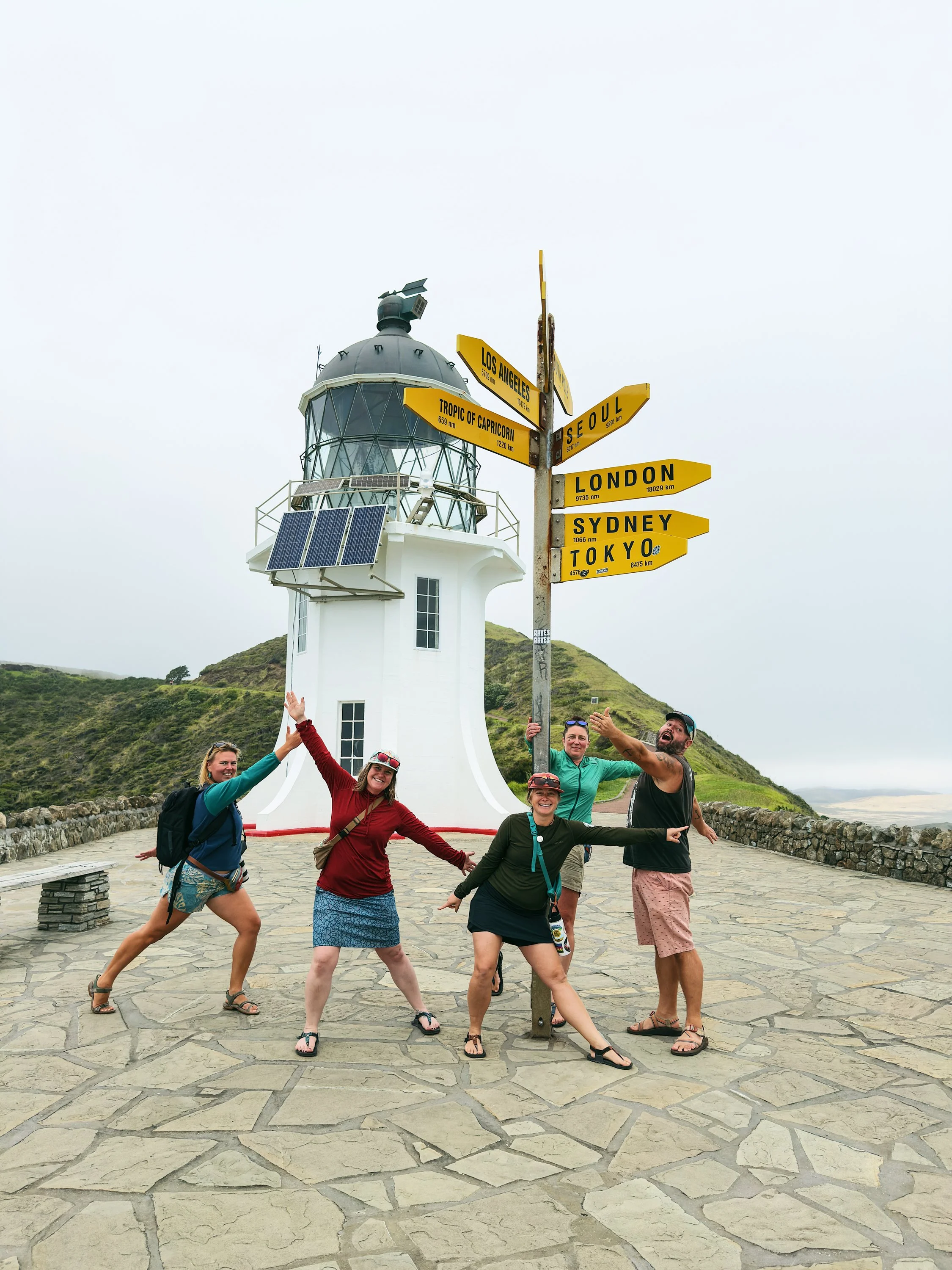
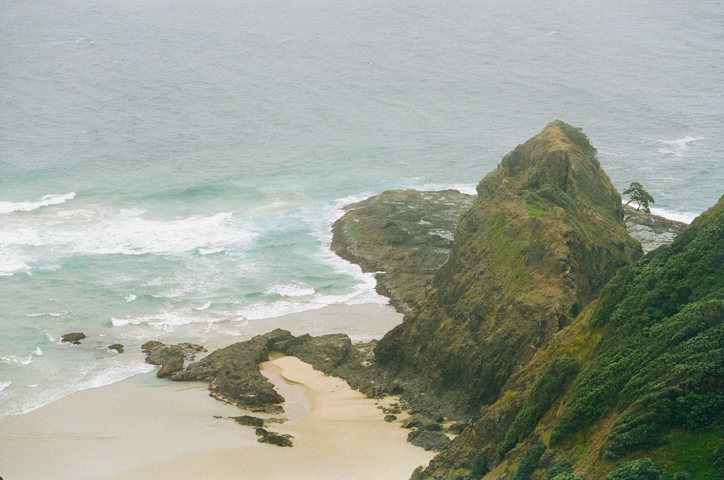
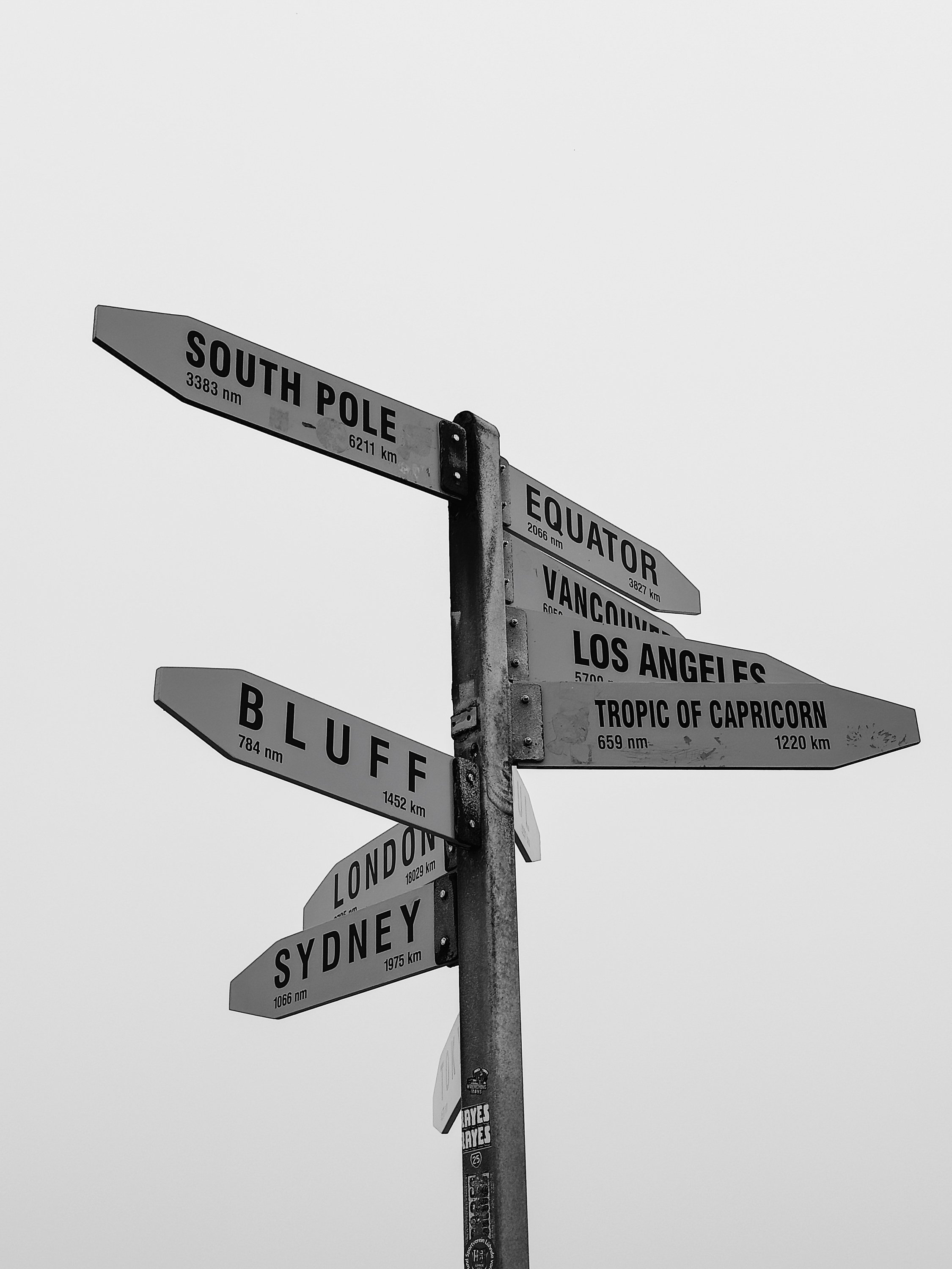
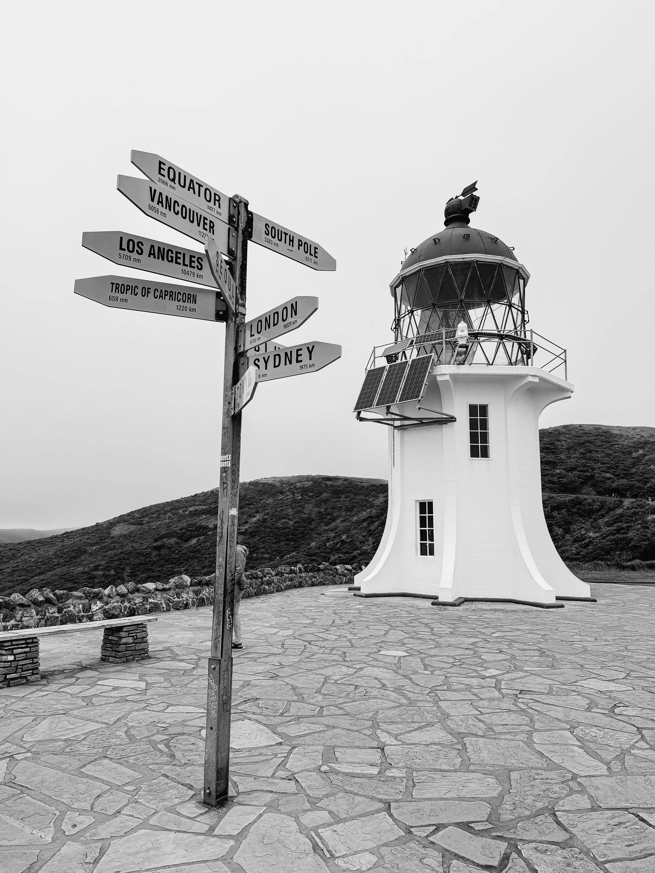
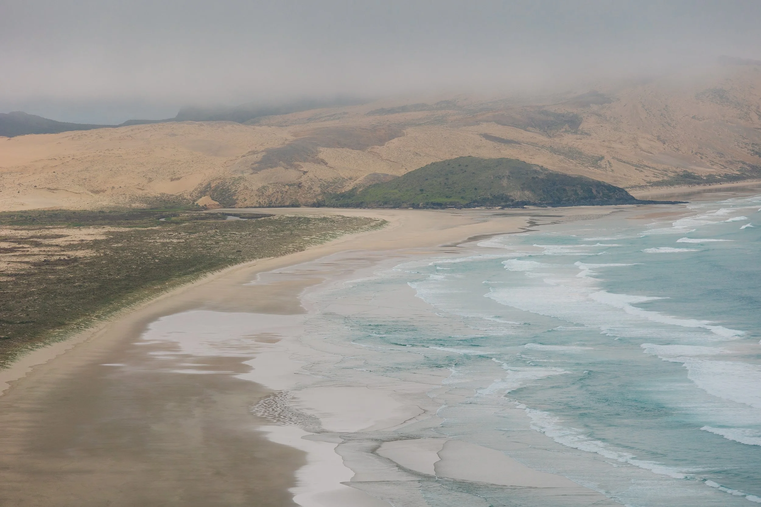
By the time we reached Cape Reinga, the peninsula had disappeared almost entirely into fog. We walked toward the lighthouse through a mist so dense that the cliffs and shoreline below appeared only in fragments. For a few seconds at a time, the fog would thin, revealing a strip of beach or the distant rocky outcroppings, before the whole landscape disappeared again. Then, as we reached the lighthouse, the clouds lifted to show us a greater perspective of our surroundings. To the south, beaches and enormous dunes stretched along the coast. Offshore lay the meeting place of the Pacific Ocean and the Tasman Sea, their competing swells forming visible seams and crosshatched patterns across the water.It was one of those places where geography feels tangible rather than theoretical. Two great bodies of water meeting at the edge of an island is something easily understood on a chart, but standing above it made the idea feel almost physical. The waves overlapped and crisscrossed, forming a checkerboard that stretched toward the horizon until the ocean disappeared once again into fog.Cape Reinga is known in te ao Māori as Te Rerenga Wairua, a spiritually significant place associated with the departure of spirits from Aotearoa. The cultural weight of the place seemed inseparable from the landscape itself: mist, cliffs, open ocean, and a sense of standing at a boundary between worlds.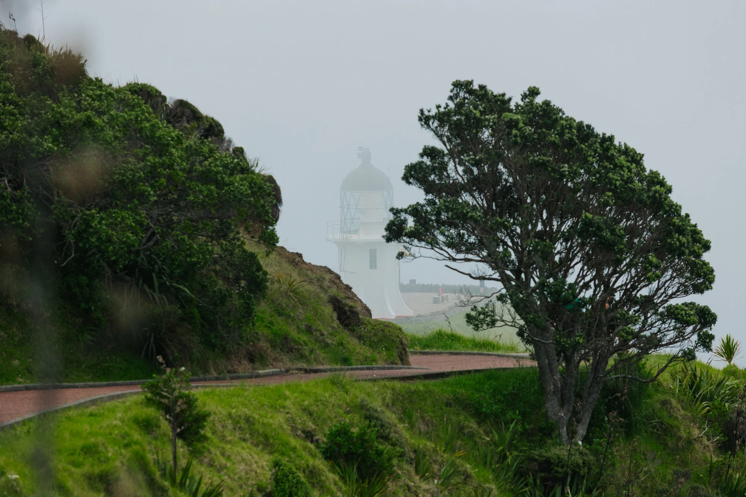
Cape Reinga
Cape Reinga
Cape Reinga
Cape Reinga
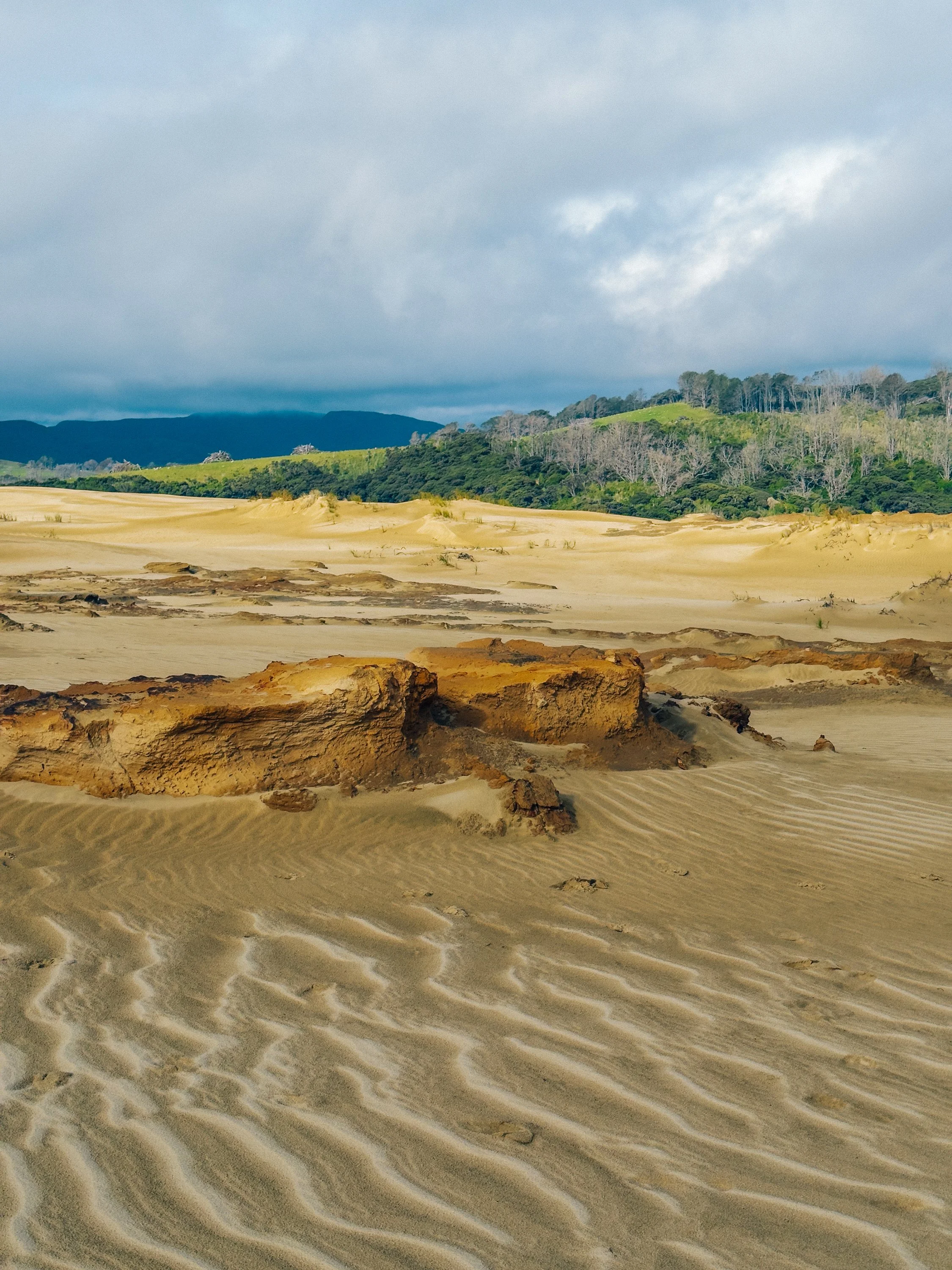
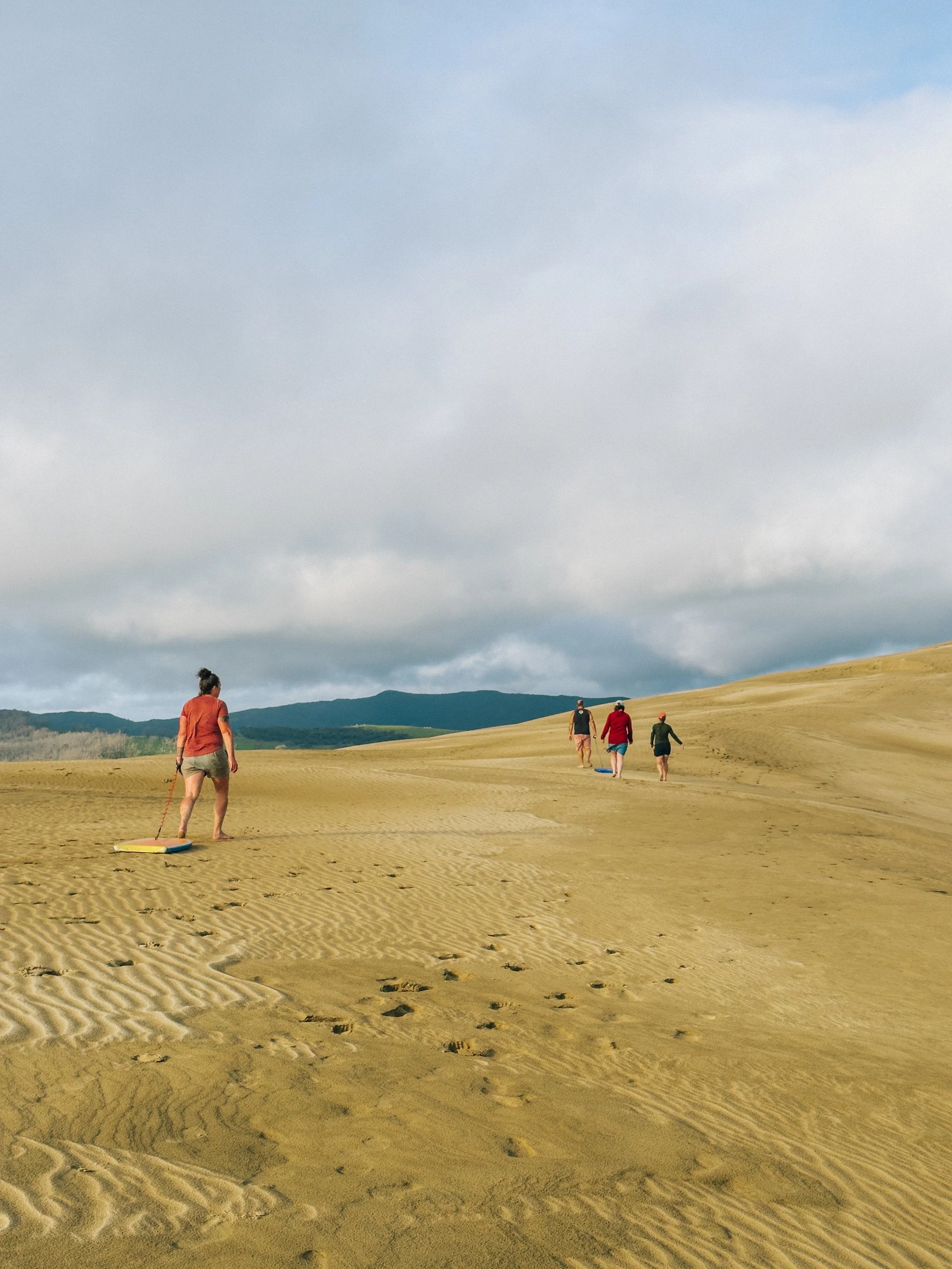
As we turned south, the landscape transformed again only a short distance away. When imagining New Zealand, enormous sand dunes had never really entered the picture. Naturally, that made us all the more interested in finding them. Directly south of Cape Reinga, the Te Paki dunes rise unexpectedly from Northland, great sweeping ridges of sand stretching toward the Tasman coast. As we embarked on our exploration, the sun began breaking through the clouds and the fog from earlier slowly dissipated.We had brought boogie boards from the boat, which suddenly seemed like an entirely reasonable piece of expedition equipment. Climbing the dunes was considerably less graceful than riding down them. Every step upward seemed to slide half a step backward, and by the time we reached the higher ridgelines our legs were burning.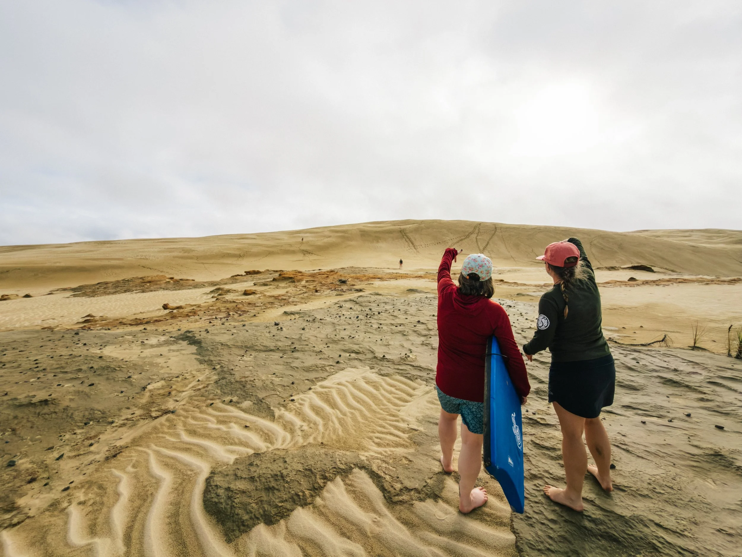
Te Paki dunes
Te Paki dunes
Te Paki dunes
From the top, though, the scale of the landscape became apparent, as dunes folded into one another in every direction, with the Tasman Sea glinting beyond them. For a moment it felt less like New Zealand and more like some misplaced corner of the Sahara. Then came the reward: throwing ourselves down the sandy slopes on boogie boards with varying degrees of control. We could easily have spent the entire day wandering the ridges and valleys, but we still had a three-hour drive back to Opua and the Bay of Islands.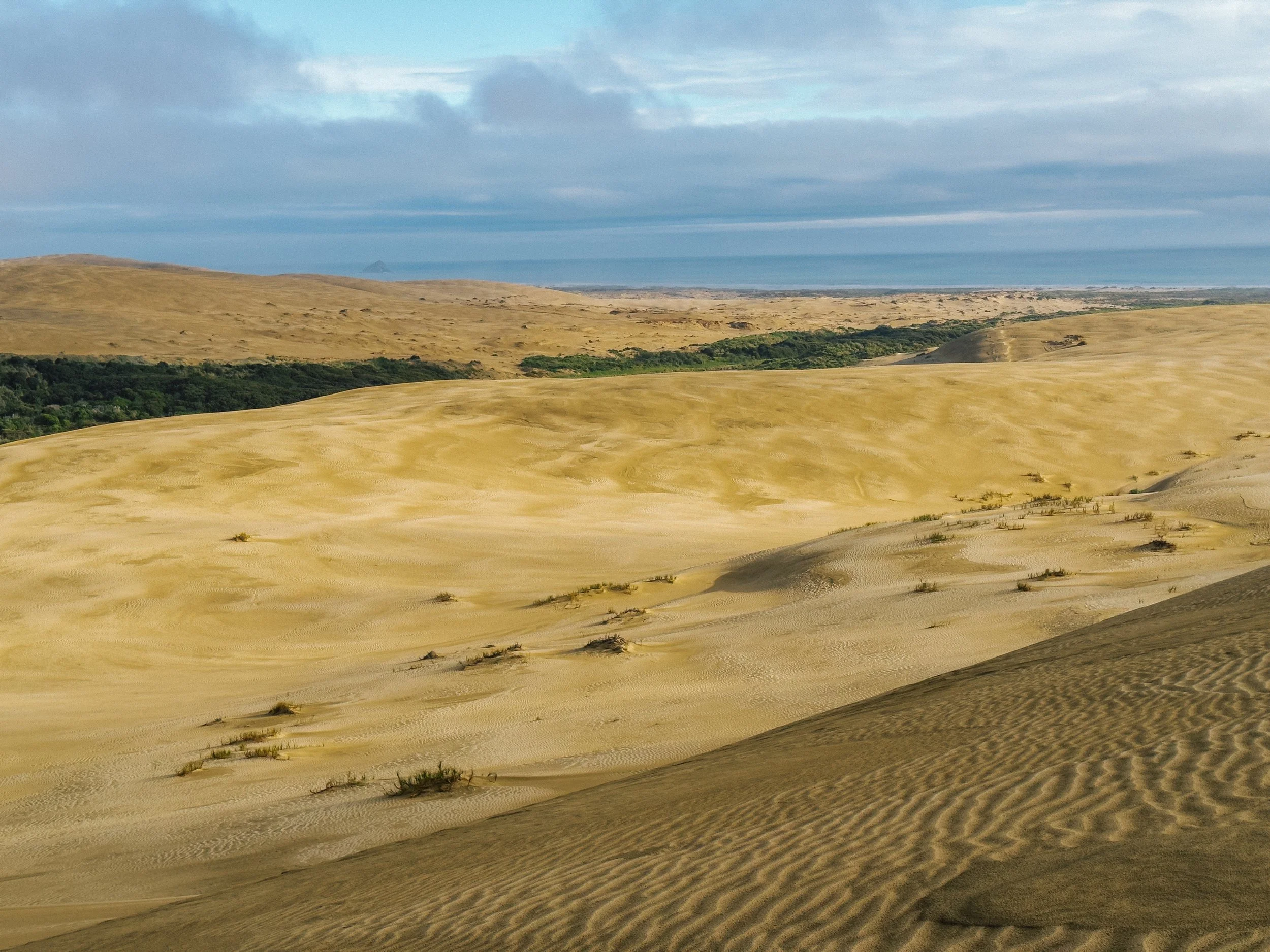
Te Paki dunes
A Pilgrimage to a Public Toilet
Long ocean passages cultivate strange forms of entertainment. During our crossing to New Zealand, one of the books aboard Arcturus was an Atlas Obscura guide, perfect reading for stretches without internet access. Somewhere among its entries for caves, monuments, odd museums, and improbable landmarks was one recommendation that caught our attention: a public restroom in the small town of Kawakawa, just south of Opua. Our logic was simple: if a set of public toilets had become notable enough to appear in a travel guide, we probably needed to see them. And the Hundertwasser Public Toilets did not disappoint.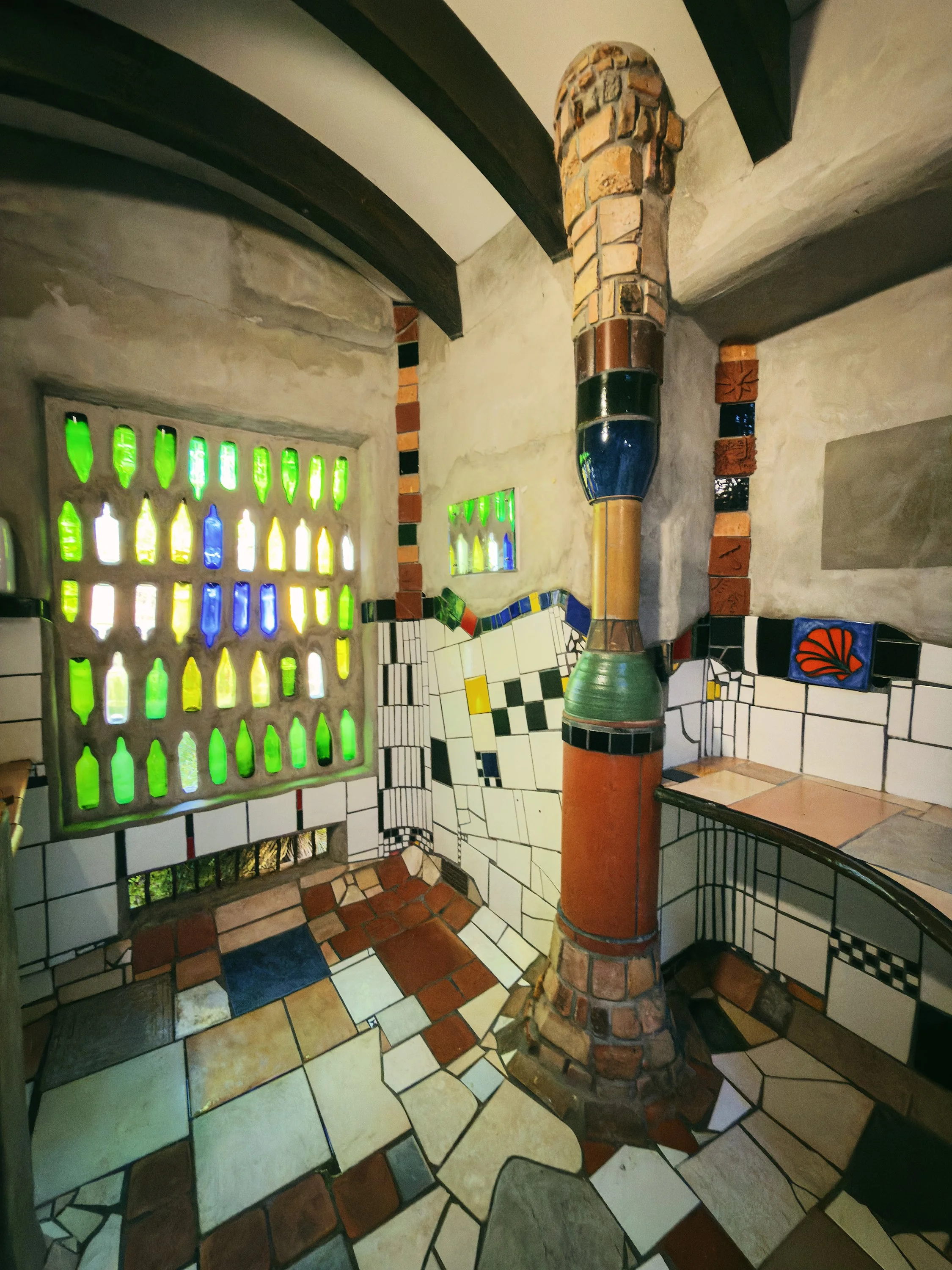
Hundertwasser Public Toilets
Hundertwasser Public Toilets
Hundertwasser Public Toilets
Hundertwasser Public Toilets
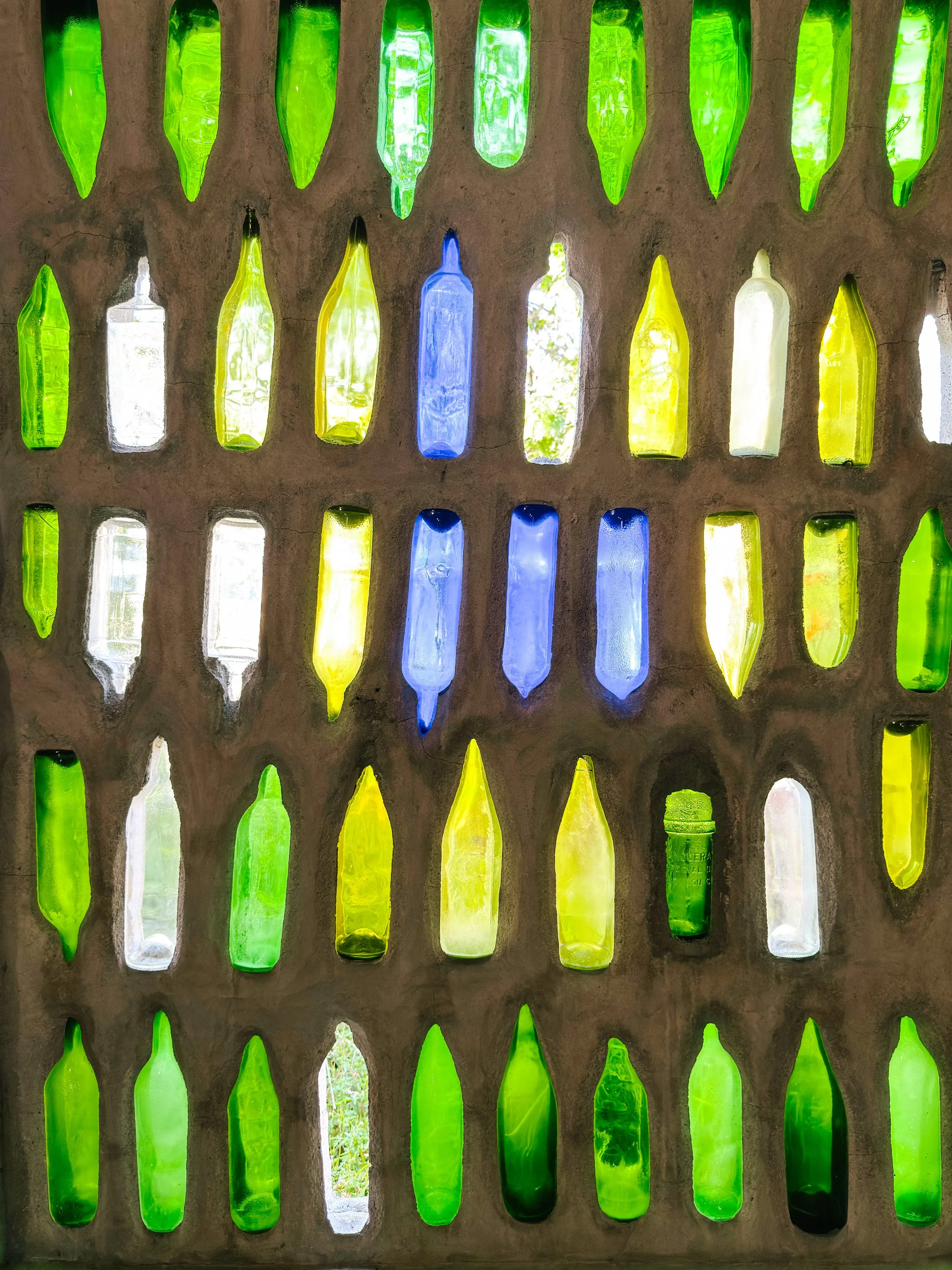
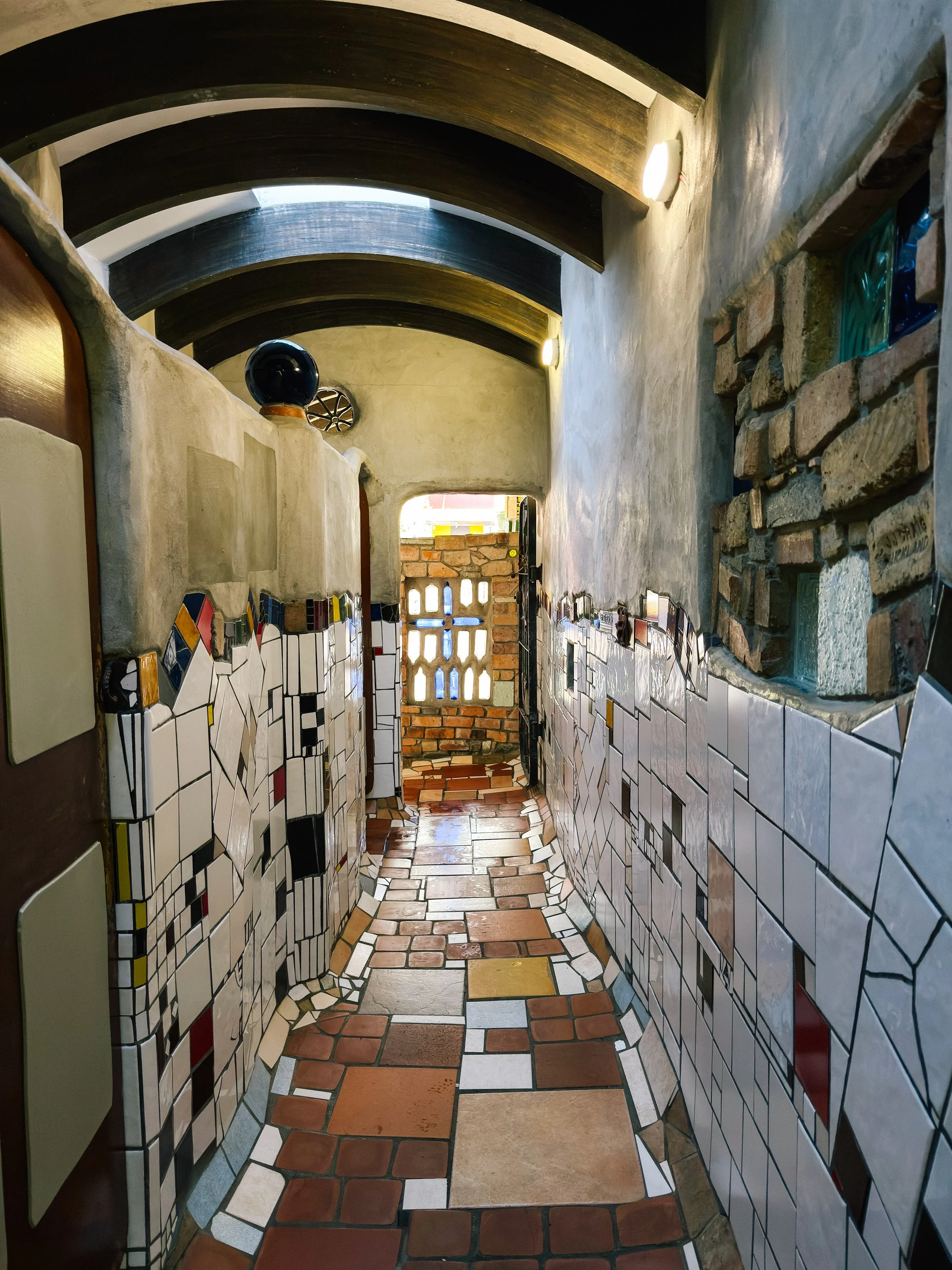
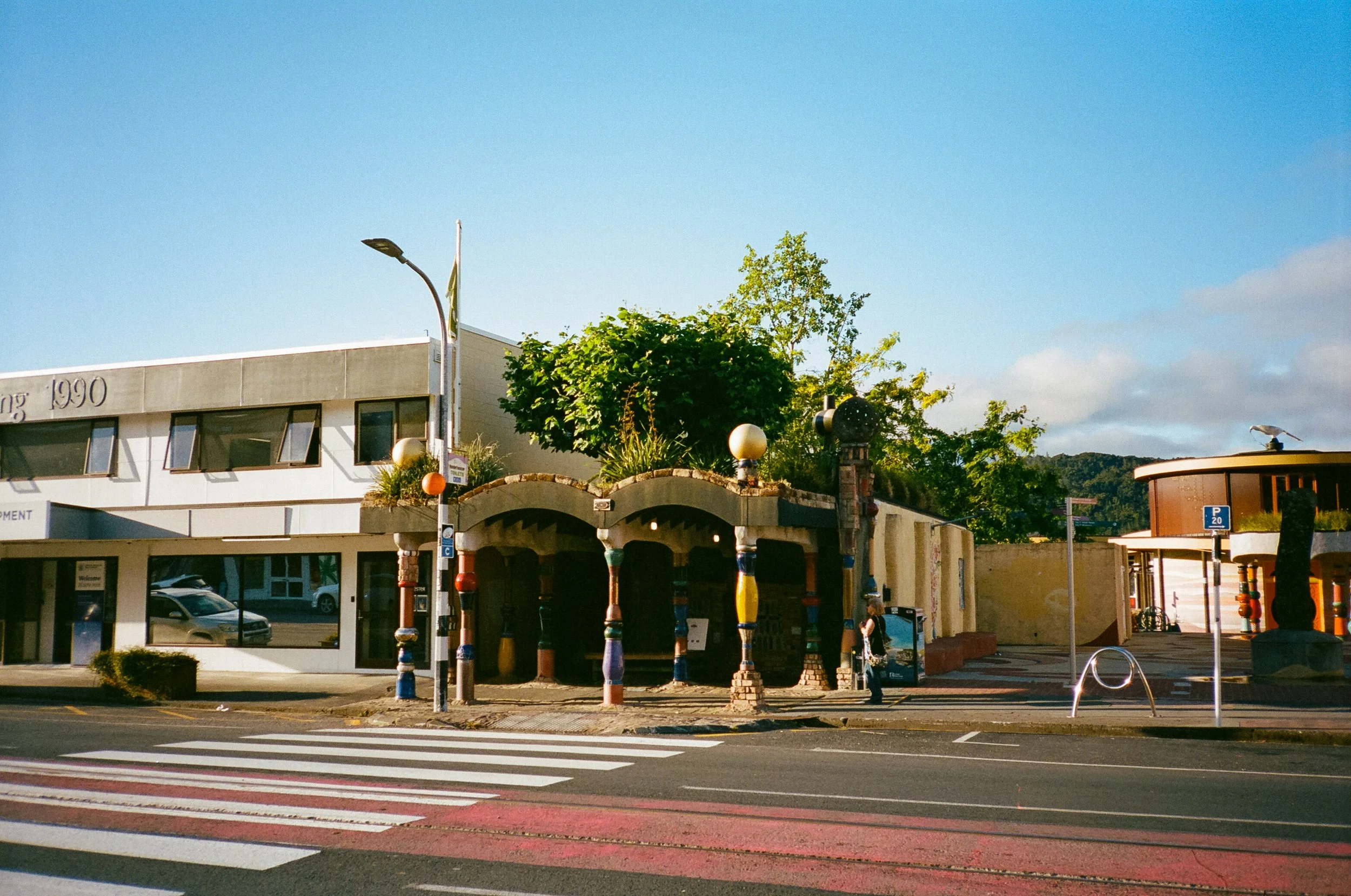
Influenced by the wonderfully unconventional vision of artist and architect Friedensreich Hundertwasser, the building is a whimsical collage of recycled ceramics, colored glass, bricks, curving walls, mosaics, and vegetation. It felt less like municipal infrastructure and more like walking through a piece of folk art.There are not many road trips where a public lavatory qualifies as a cultural stop, but this roadside curiosity in Kawakawa makes a convincing argument. It was also the beginning of our realization that public toilets in New Zealand were capable of being considerably more charming than the utilitarian roadside stops we were accustomed to in the United States. From Kawakawa, we returned to the coast and to Arcturus, ready to begin exploring the Bay of Islands properly.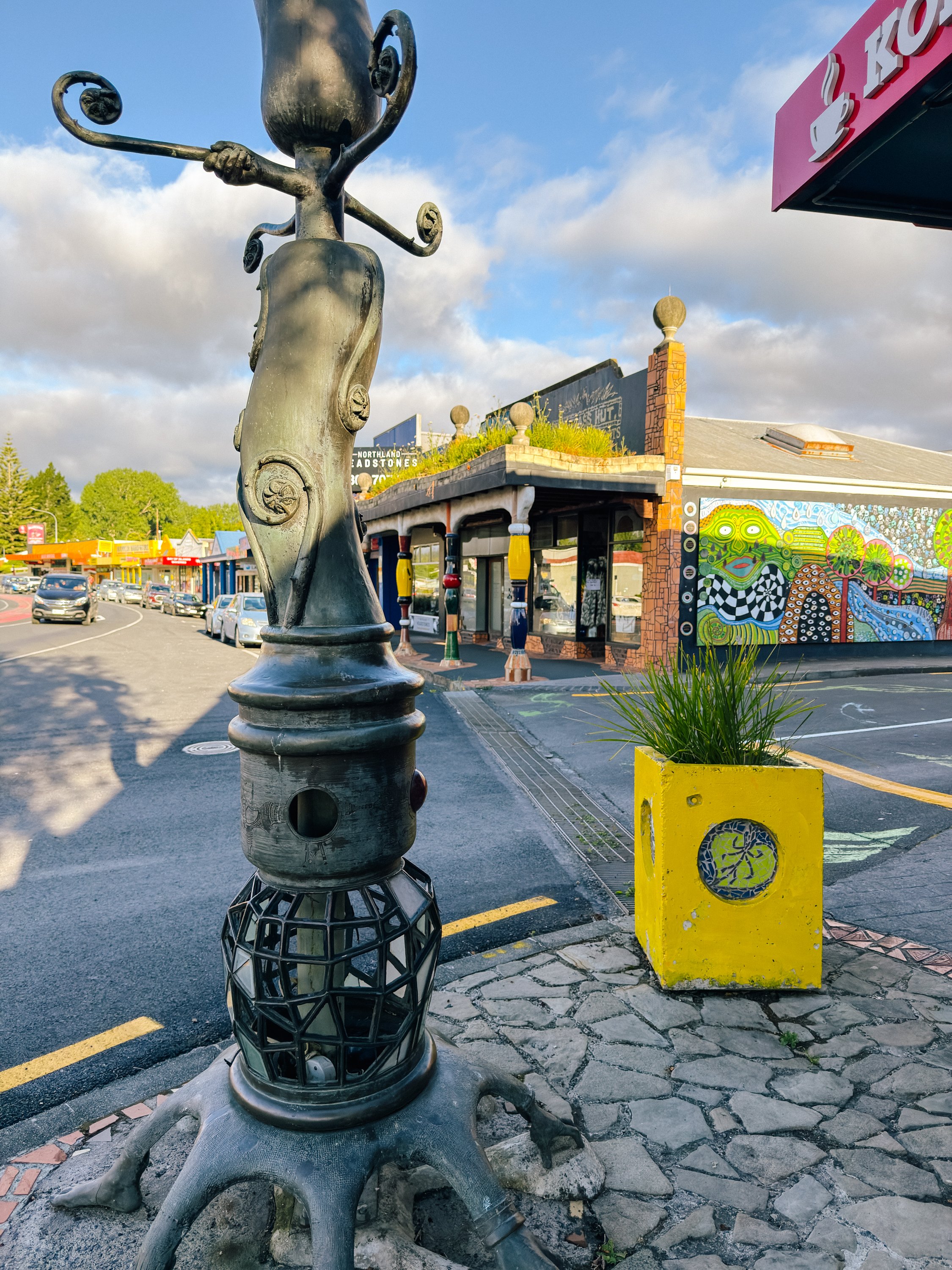
Hundertwasser Public Toilets
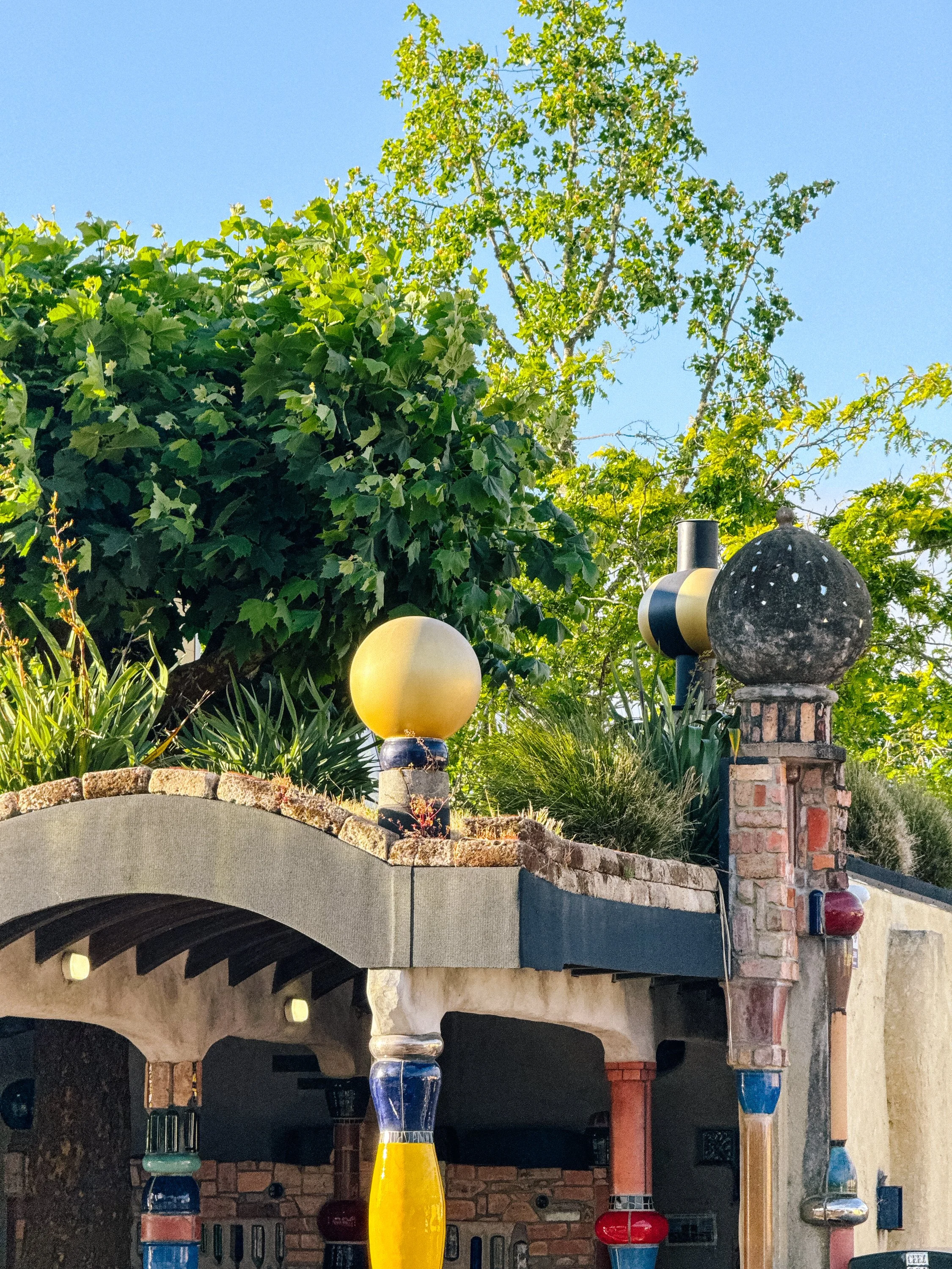
Hundertwasser Public Toilets
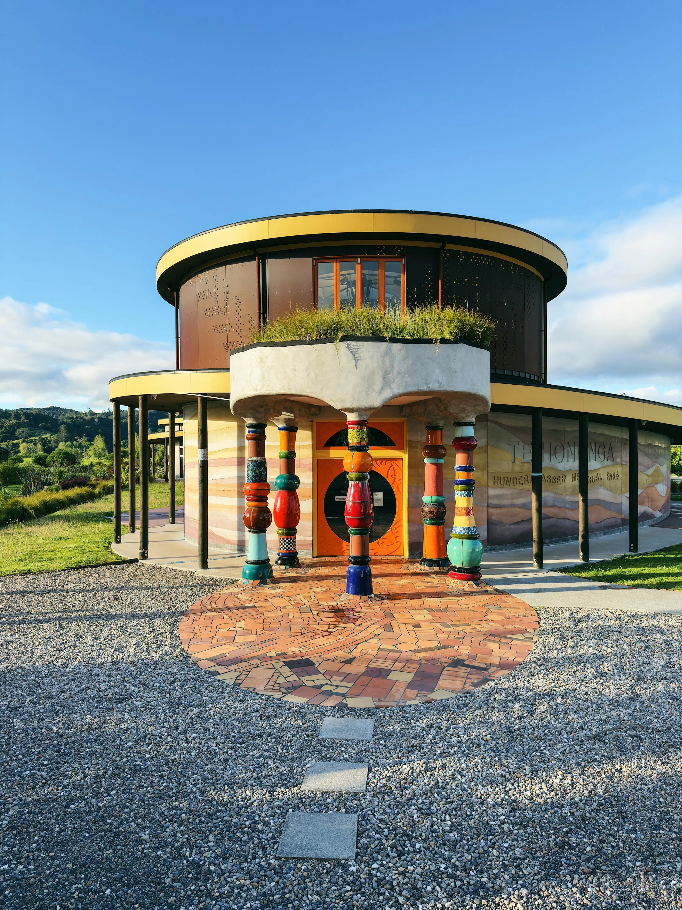
Hundertwasser Memorial
Bay of Islands (Te Pēwhairangi)
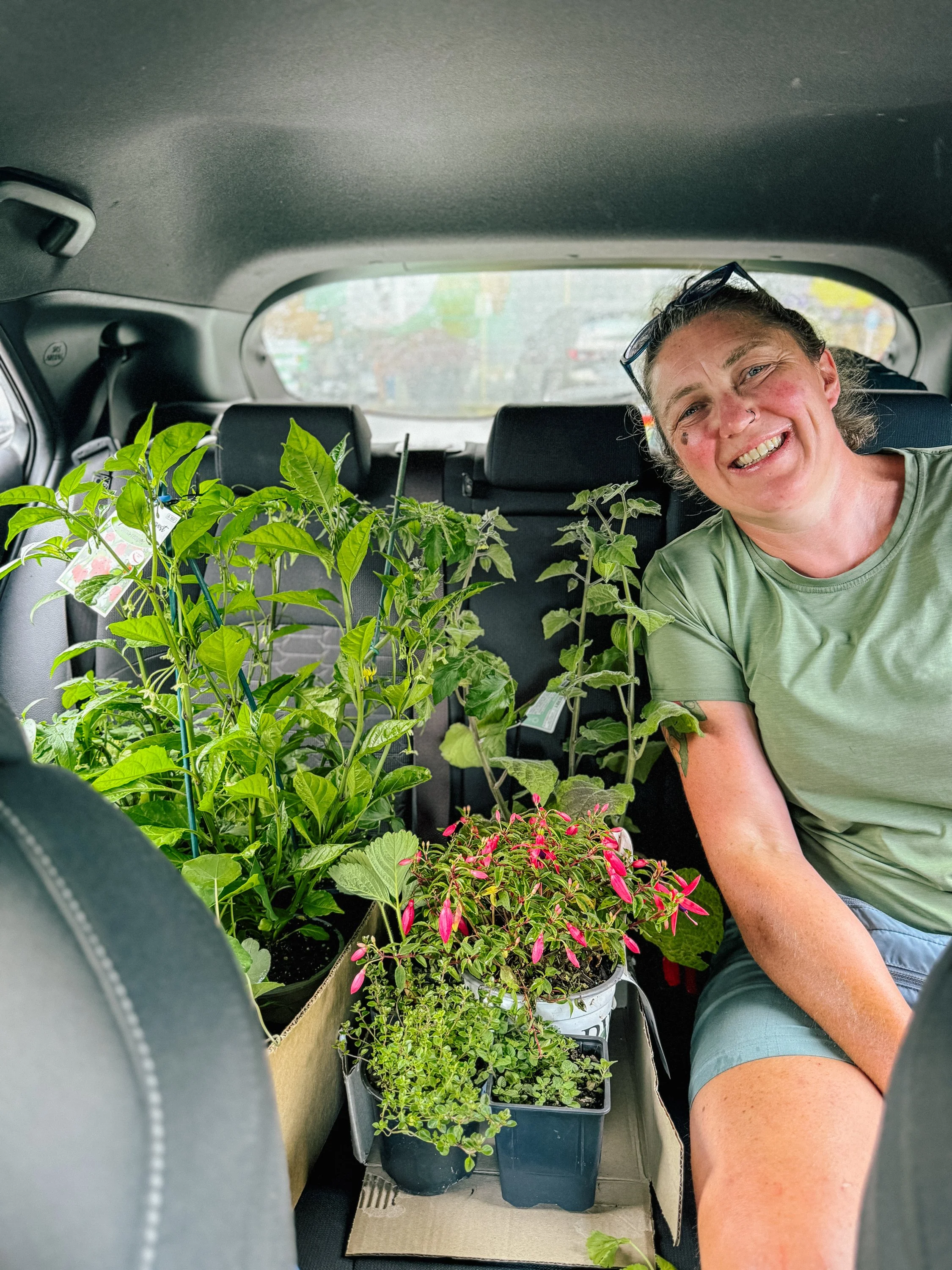
Before we departed the dock in Opua, we had two particularly important boat projects to tackle: installing our new-to-us transmission and replanting the boat garden for the season ahead. The transmission was decidedly practical. The garden was considerably more exciting. Among our favorite purchases was an unexpectedly large Carolina Reaper pepper bush, a prize discovery in a country where truly spicy peppers seemed surprisingly difficult to come by. We also added a gooseberry bush to the collection, giving Arcturus a fresh little patch of greenery as we prepared to set off exploring again.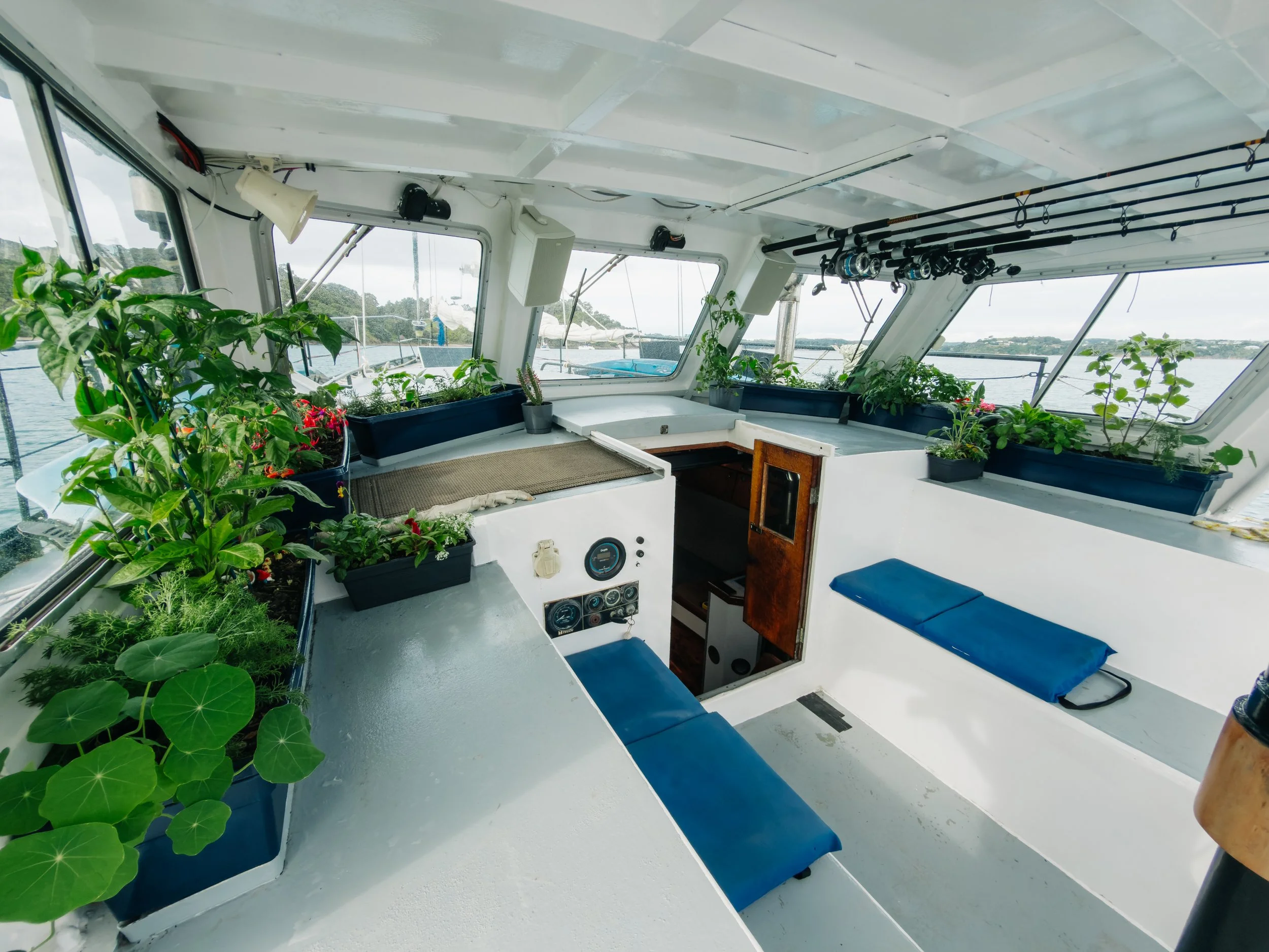
Arcturus Boat Garden
Arcturus Boat Garden
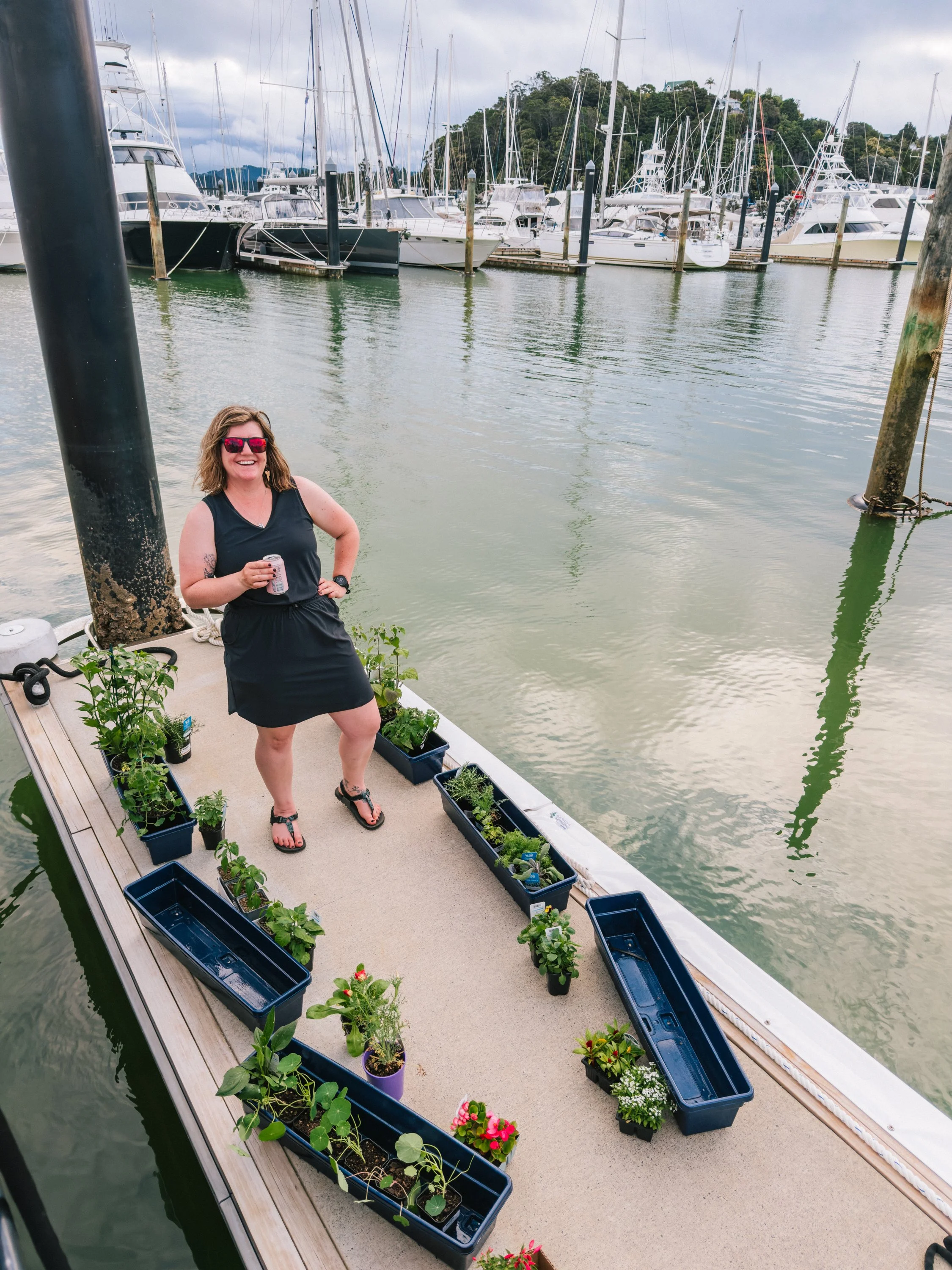
Arcturus Boat Garden
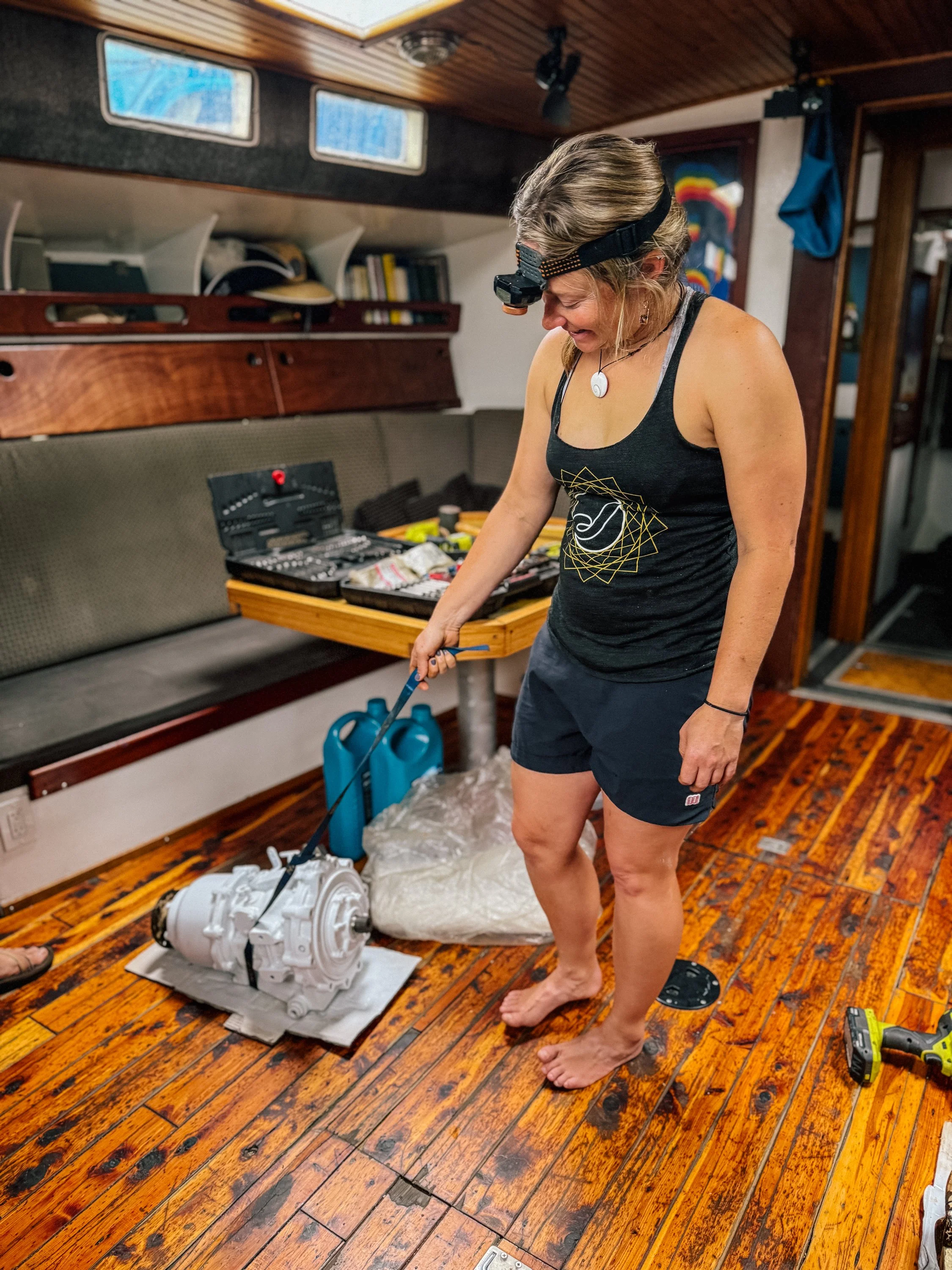
Refurbished transmission
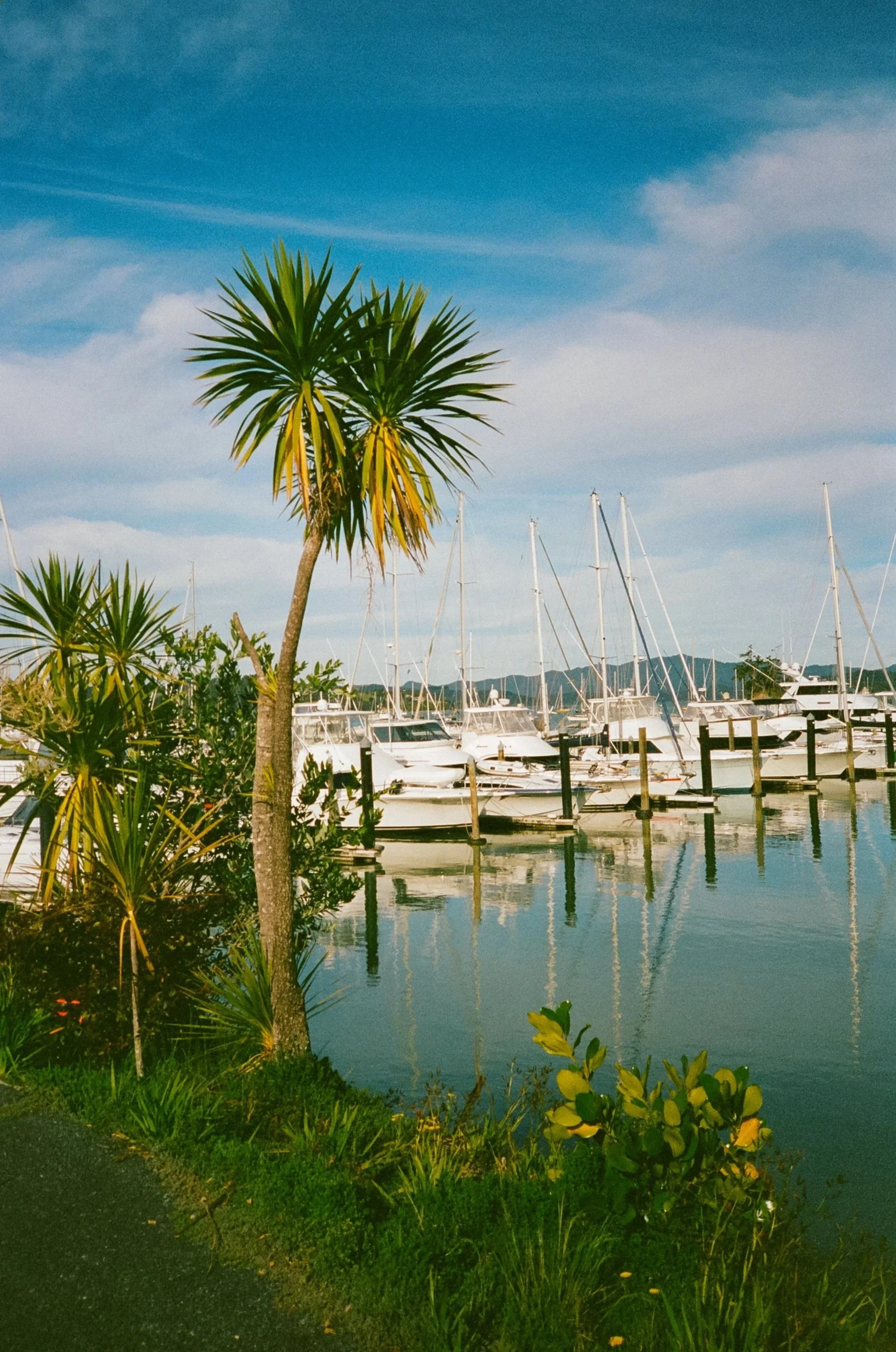
The Bay of Islands was our first real introduction to cruising in New Zealand. After the long stretches of open ocean that had defined so much of the previous year, the geography felt almost indulgent: islands scattered across protected waters, forested coves appearing around every headland, and small waterfront towns never terribly far away.For us, Opua became the practical starting point: checking into the country, provisioning, completing boat chores, and reacquainting ourselves with life ashore. Nearby Paihia felt pleasant and lively, with more local restaurants and activity along the waterfront, but it was Russell that captured us most.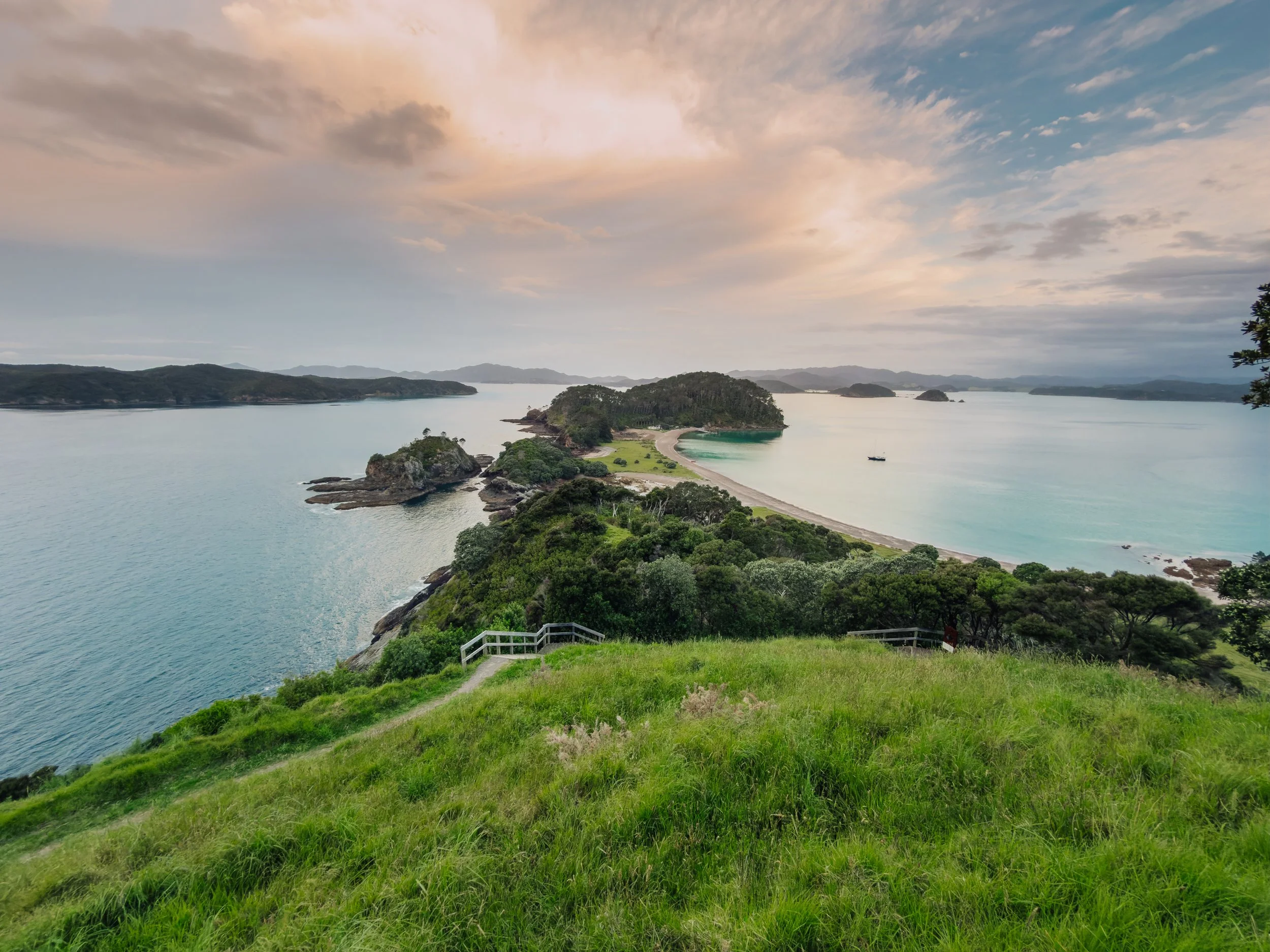
Bay of Islands
Bay of Islands
Bay of Islands
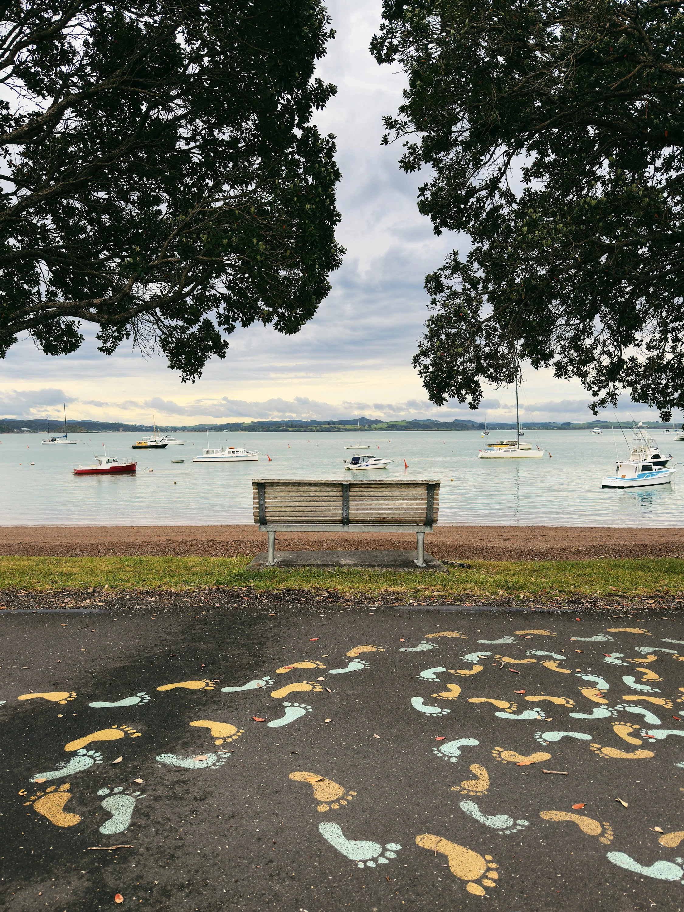
The sheltered anchorages that appealed so immediately to us had been drawing oceangoing vessels for centuries. Long before European ships arrived, the Bay of Islands, or Pēwhairangi, was an important maritime landscape for Ngāpuhi, the largest Māori iwi. By the early nineteenth century, visiting whalers and trading ships were also making use of these same protected waters, coming ashore for fresh water, timber, food, repairs, and trade. Māori communities supplied visiting ships with everything from potatoes and pork to firewood, and Māori sailors themselves became valued crew aboard some of the foreign vessels working throughout the Pacific. It gave the bay an interesting sense of continuity. The vessels had changed enormously, but the basic appeal of a protected harbor after an ocean passage had not. Captain James Cook charted this coast aboard the Endeavour in 1769 and gave the bay its English name. 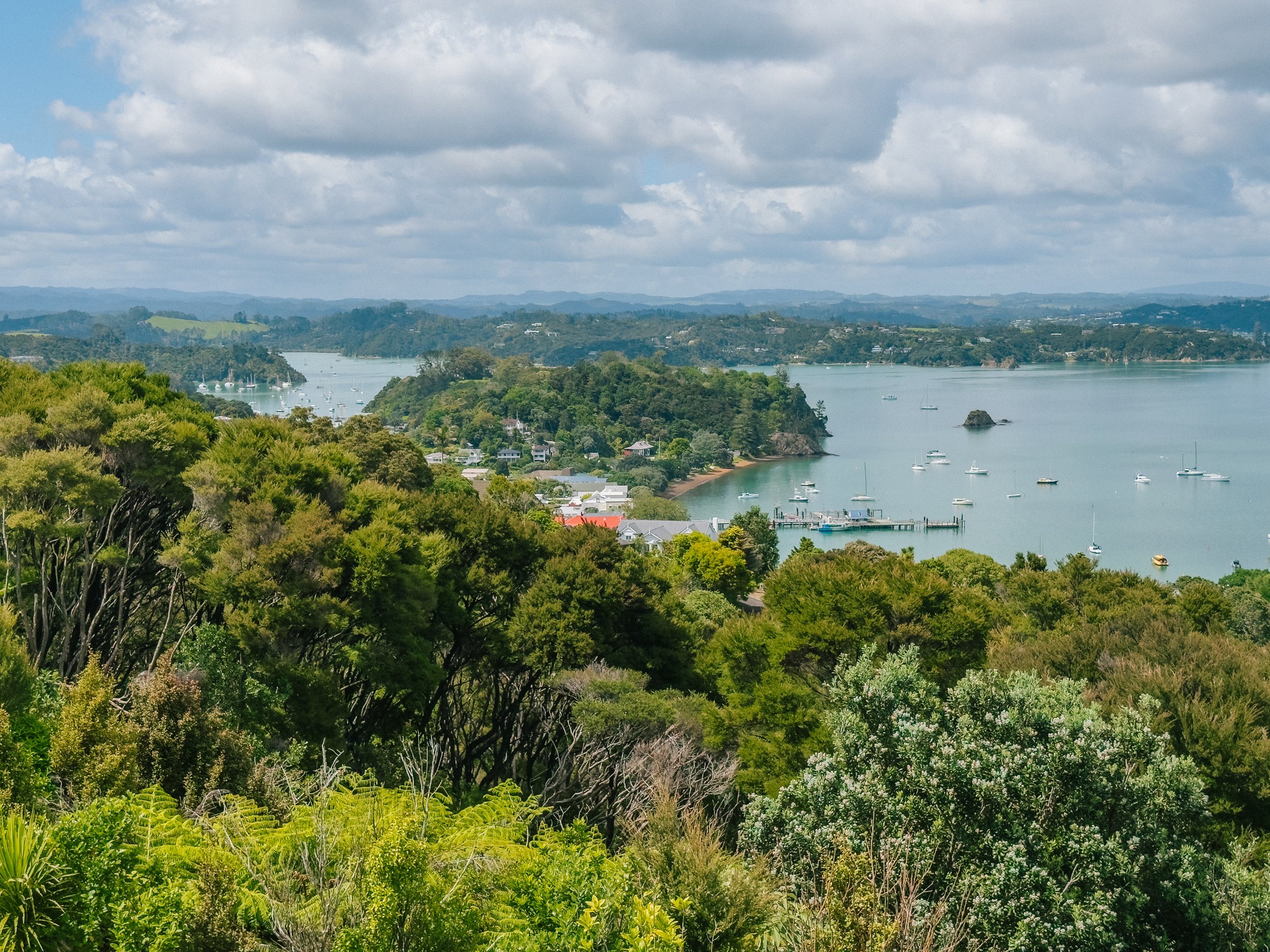
Russell, Bay of Islands
Russell, Bay of Islands
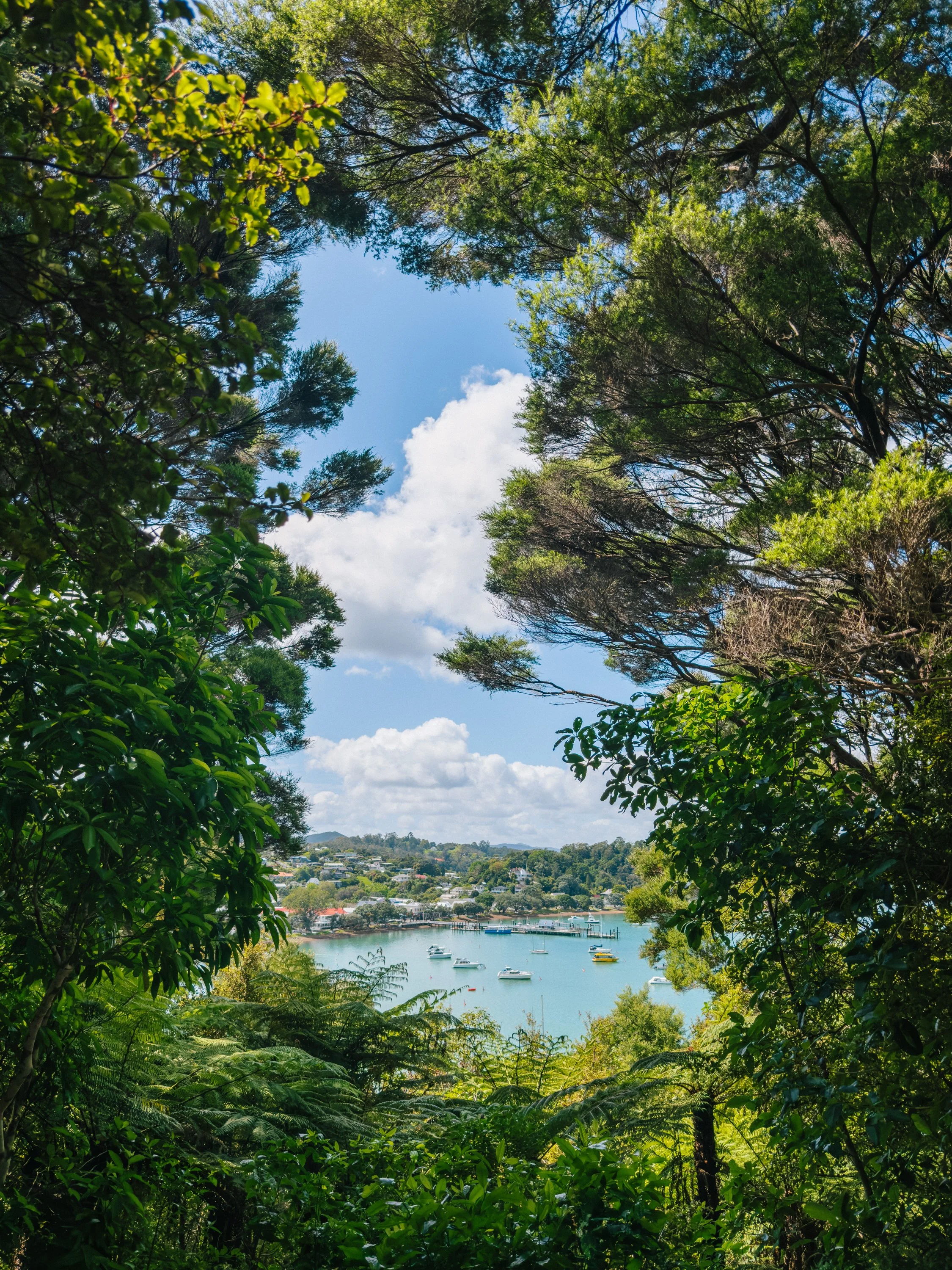
Russell, Bay of Islands
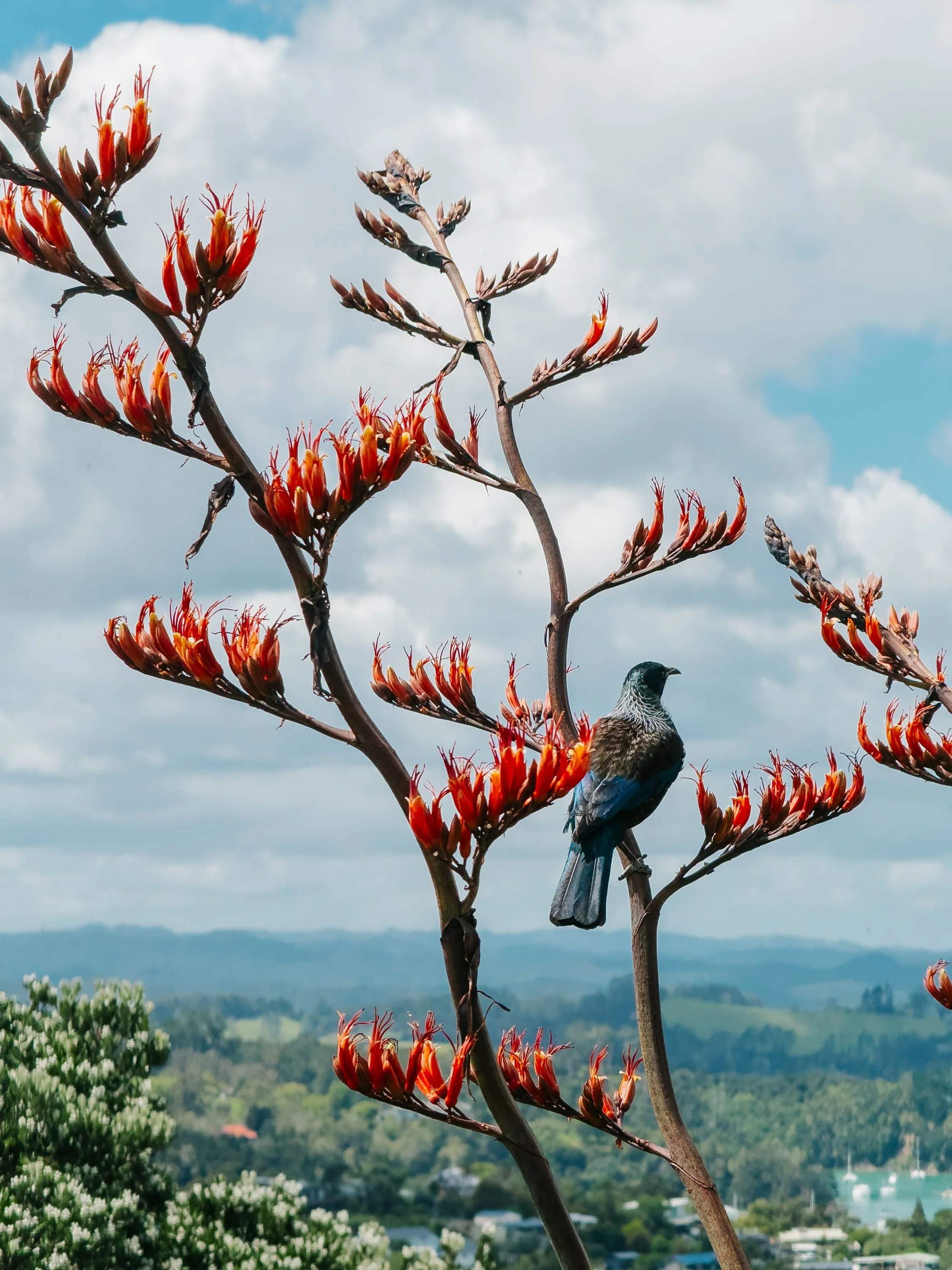
Russell, Bay of Islands
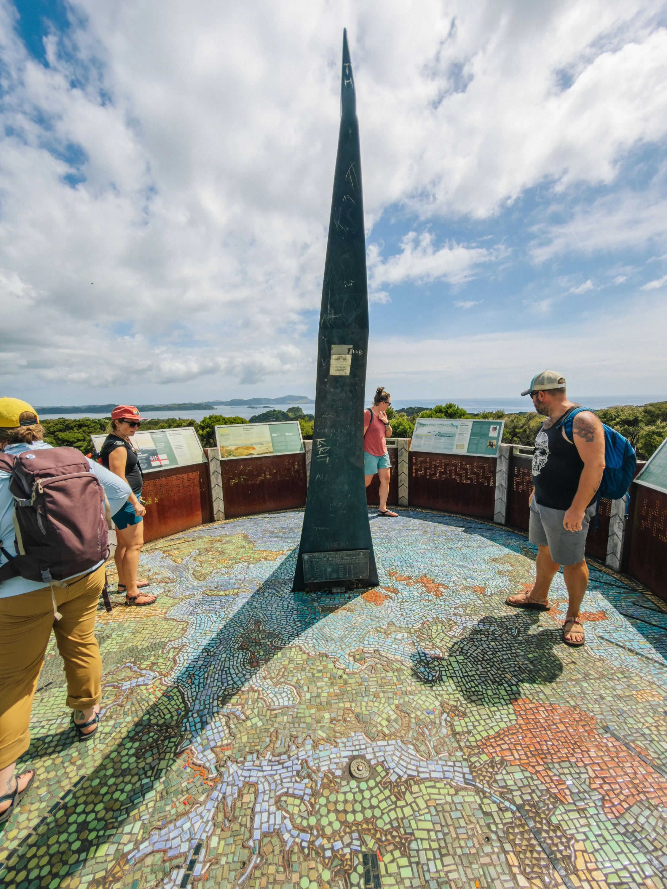
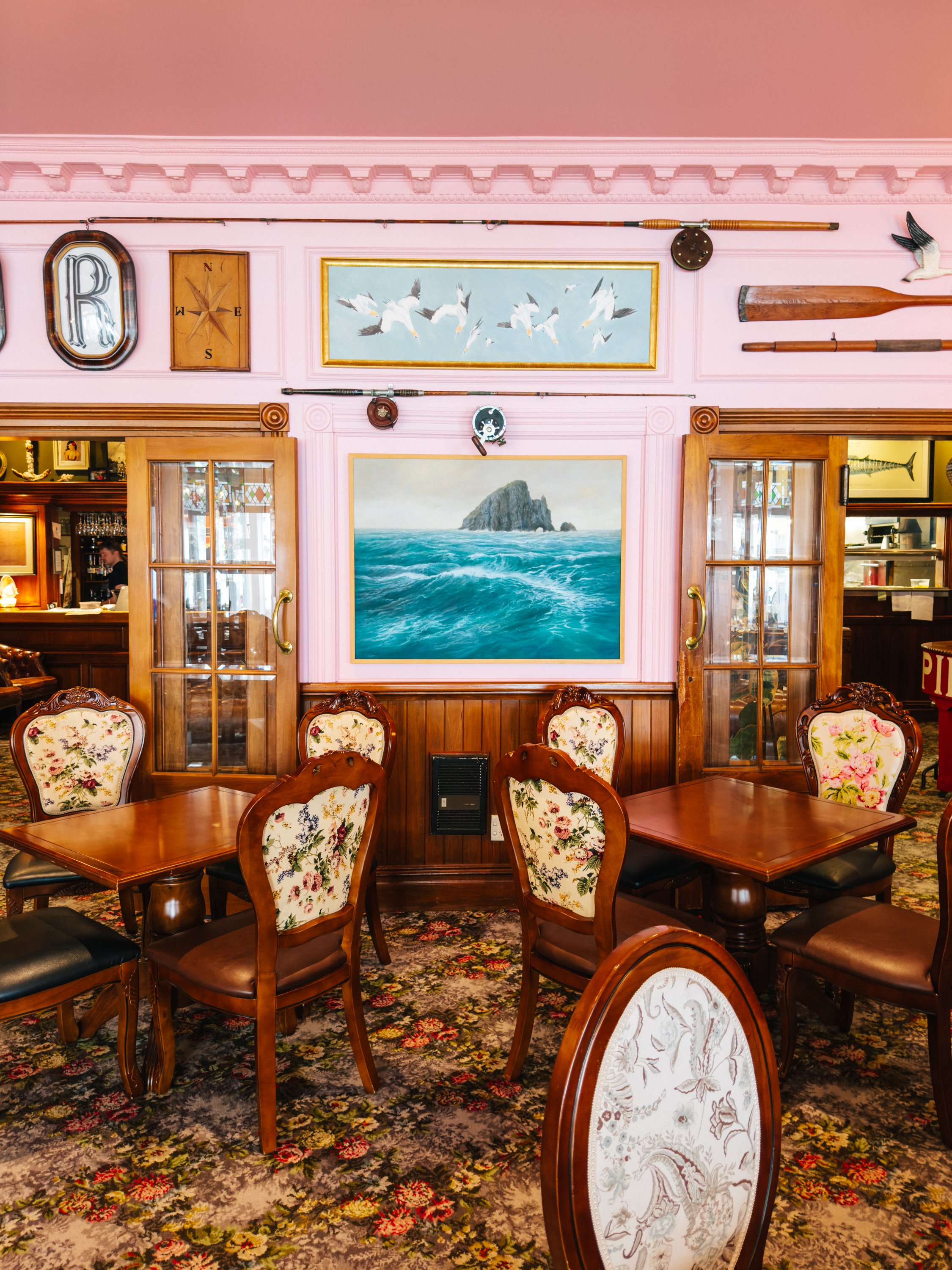
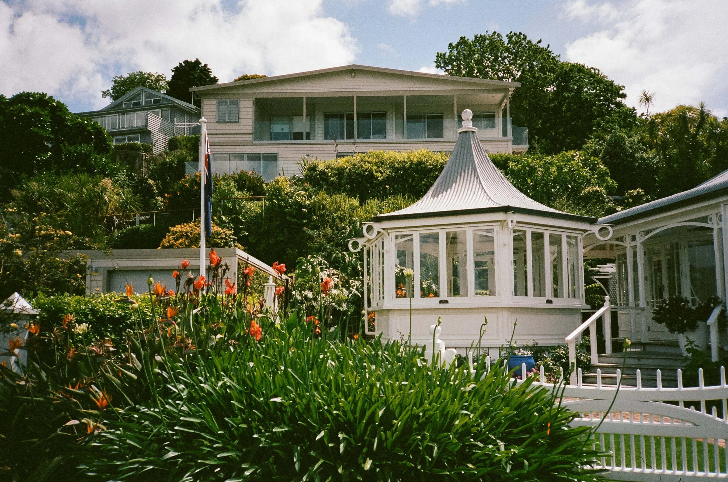
Today, Russell is an impossibly charming waterfront village lined with historic buildings and shaded streets. Small boats swing at anchor offshore while ferries move quietly across the bay. We took a stroll up the hill to the Flagstaff Lookout, where we were rewarded with 360-degree views over Russell below and the scattered islands beyond. Nearby, a mosaic map and sundial offered another charming detail overlooking the bay. It is difficult to reconcile Russell’s peaceful modern character with its much rowdier past. Known historically as Kororāreka, the settlement grew into a bustling nineteenth-century Pacific port frequented by whalers, traders, missionaries, sailors, and more dubious characters drifting through the colonial frontier.We first stumbled into that history while visiting the Duke of Marlborough, where we had our first taste of local fare, including kingfish, and learned that Kororāreka had once earned the nickname “the Hell Hole of the Pacific” for its reputation as a lawless, unruly port.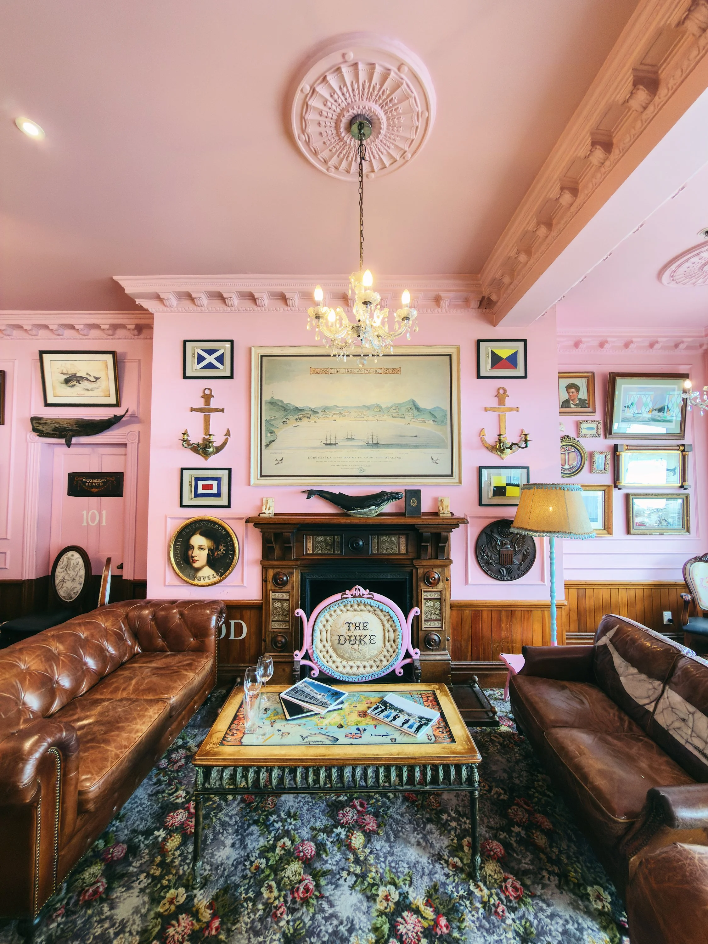
Russell, Bay of Islands
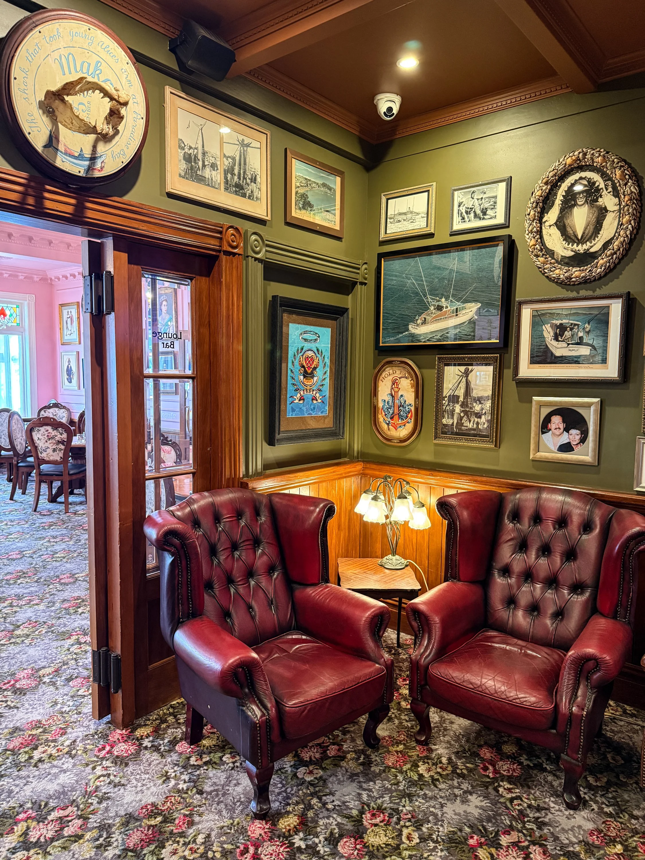
Russell, Bay of Islands
Russell, Bay of Islands
Russell, Bay of Islands
Russell, Bay of Islands
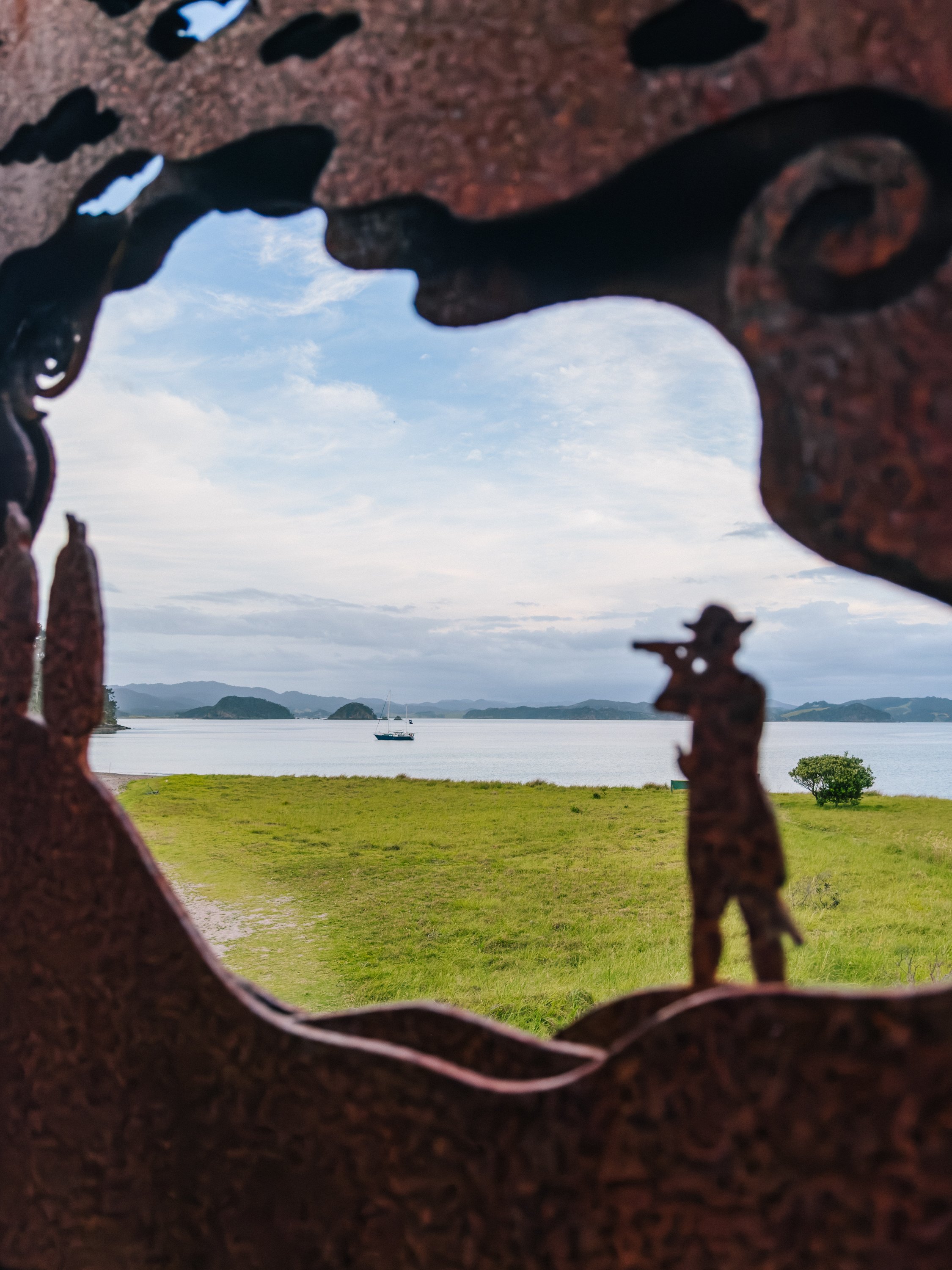
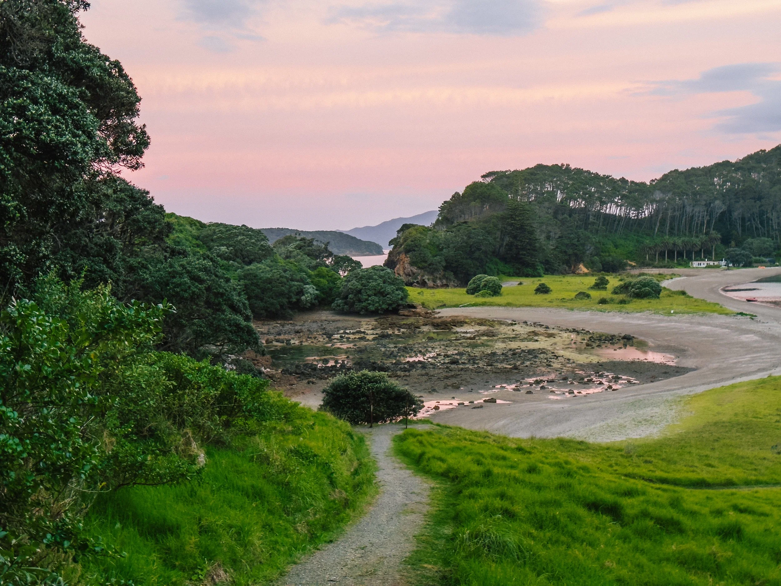
Walking its tidy waterfront today, that history seems almost unbelievable. Yet the Bay of Islands was also the setting for events that would profoundly shape modern New Zealand. The calm bay hid an extraordinarily layered past, and almost everywhere we went there seemed to be a sign, plaque, or overlook revealing another fragment of Māori or European history.We spent several days moving slowly among the islands, stopping at places such as Motuarohia / Roberton Island and wandering ashore whenever curiosity allowed. Each anchorage seemed to offer another small cove, hiking trail, or view over the surrounding water. We spent one night weathered at anchorage on Motuarohia before continuing toward Cape Brett.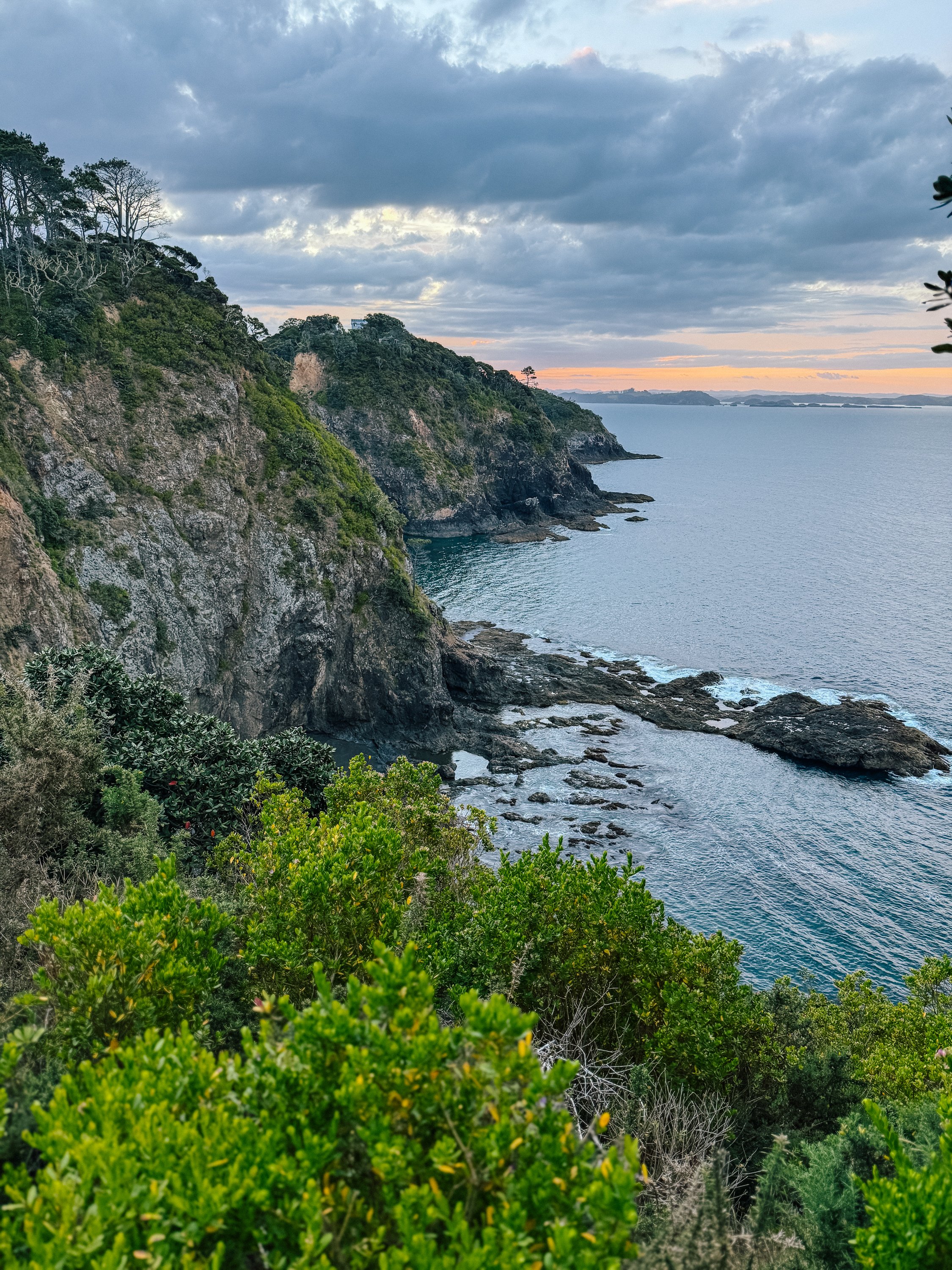
Bay of Islands
Bay of Islands
Bay of Islands
Along the Spine of Cape Brett
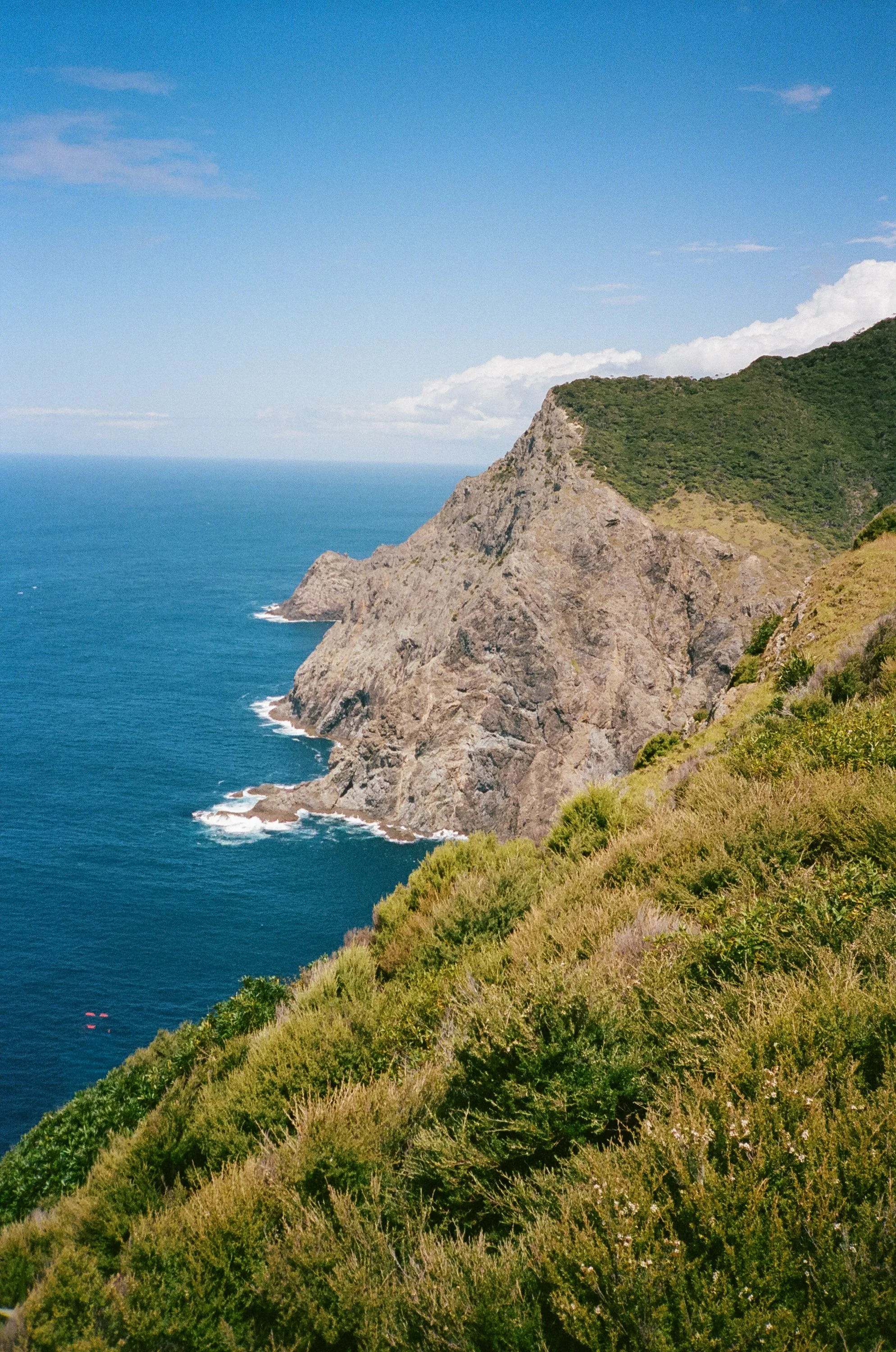
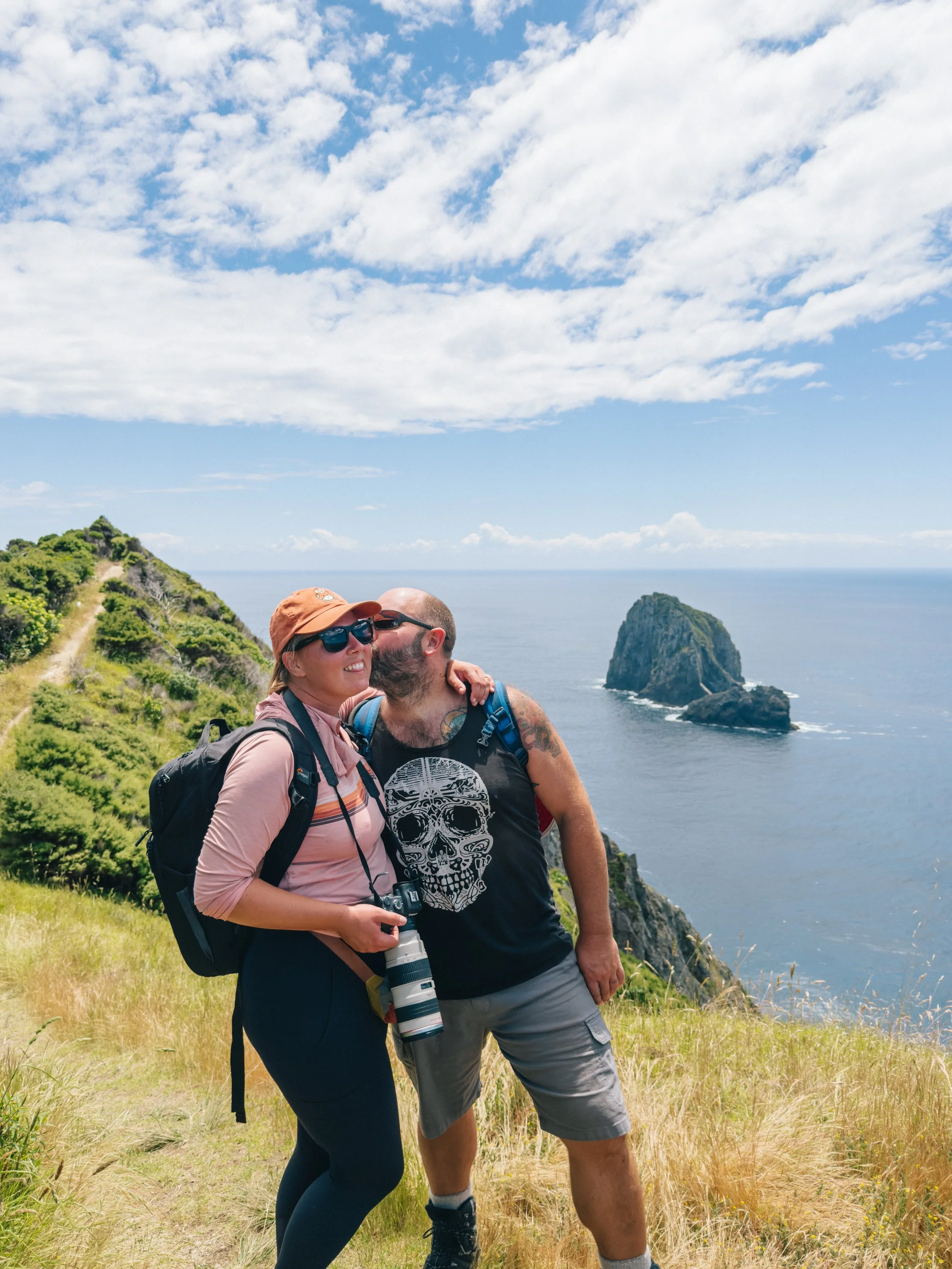
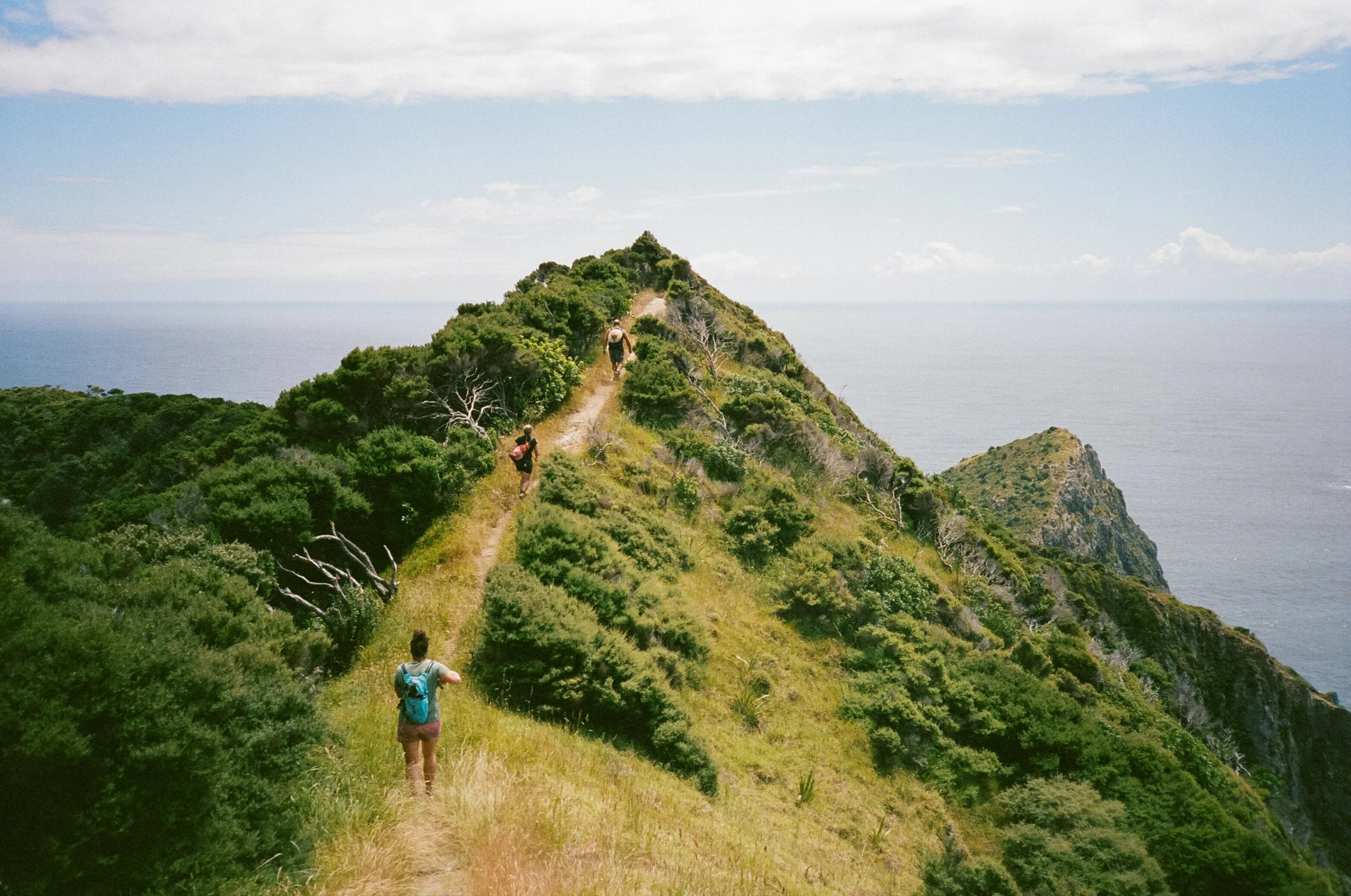
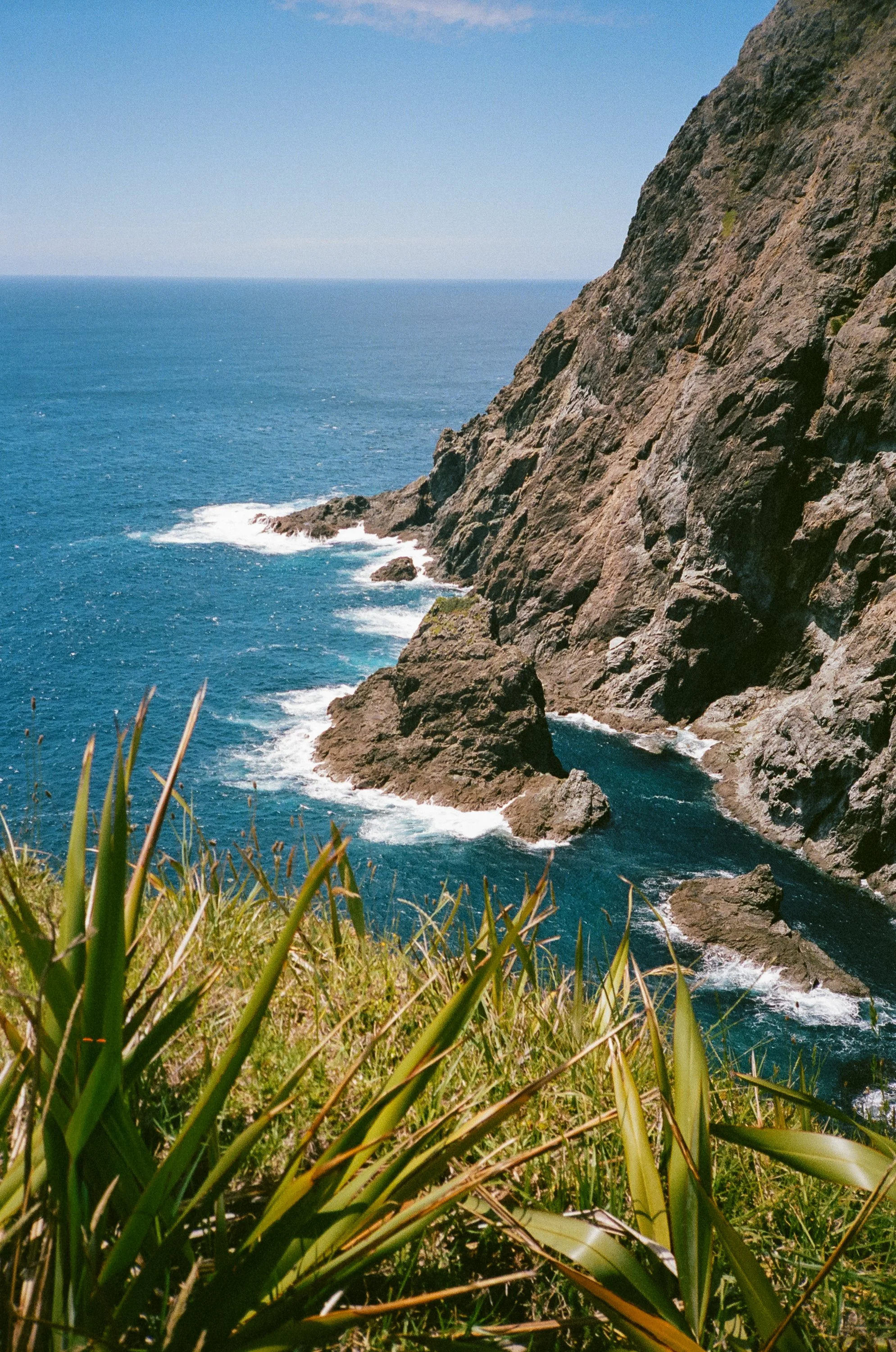
We anchored in Deep Water Cove near Cape Brett with the intention of hiking out toward the lighthouse. The trail quickly made it clear that it had no interest in easing us into the day. Up we climbed, then down, then immediately upward again. The track wound through dense subtropical forest before emerging onto exposed ridgelines above the sea, only to plunge back into the trees once more. At times it felt as though we were walking along the spine of some enormous sleeping green dragon, climbing over one forested vertebra after another while cliffs fell away toward the Pacific.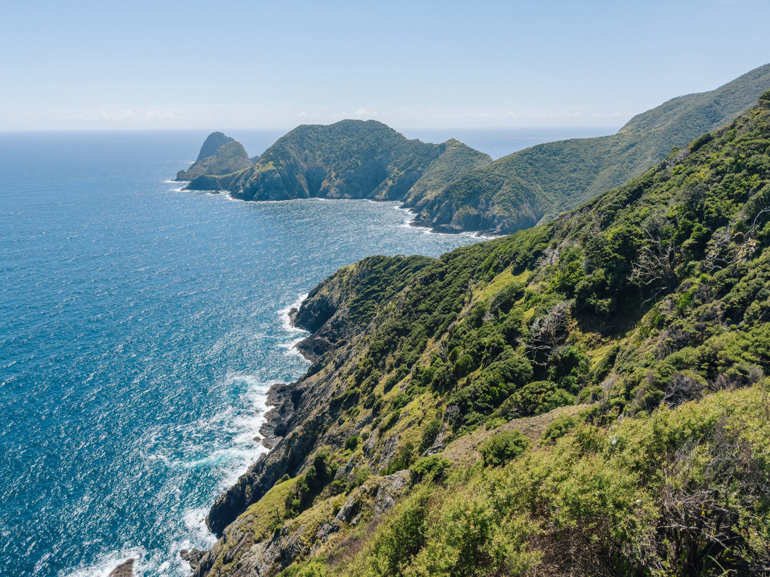
Cape BRett, Bay of Islands
Cape BRett, Bay of Islands
Cape BRett, Bay of Islands
Cape BRett, Bay of Islands
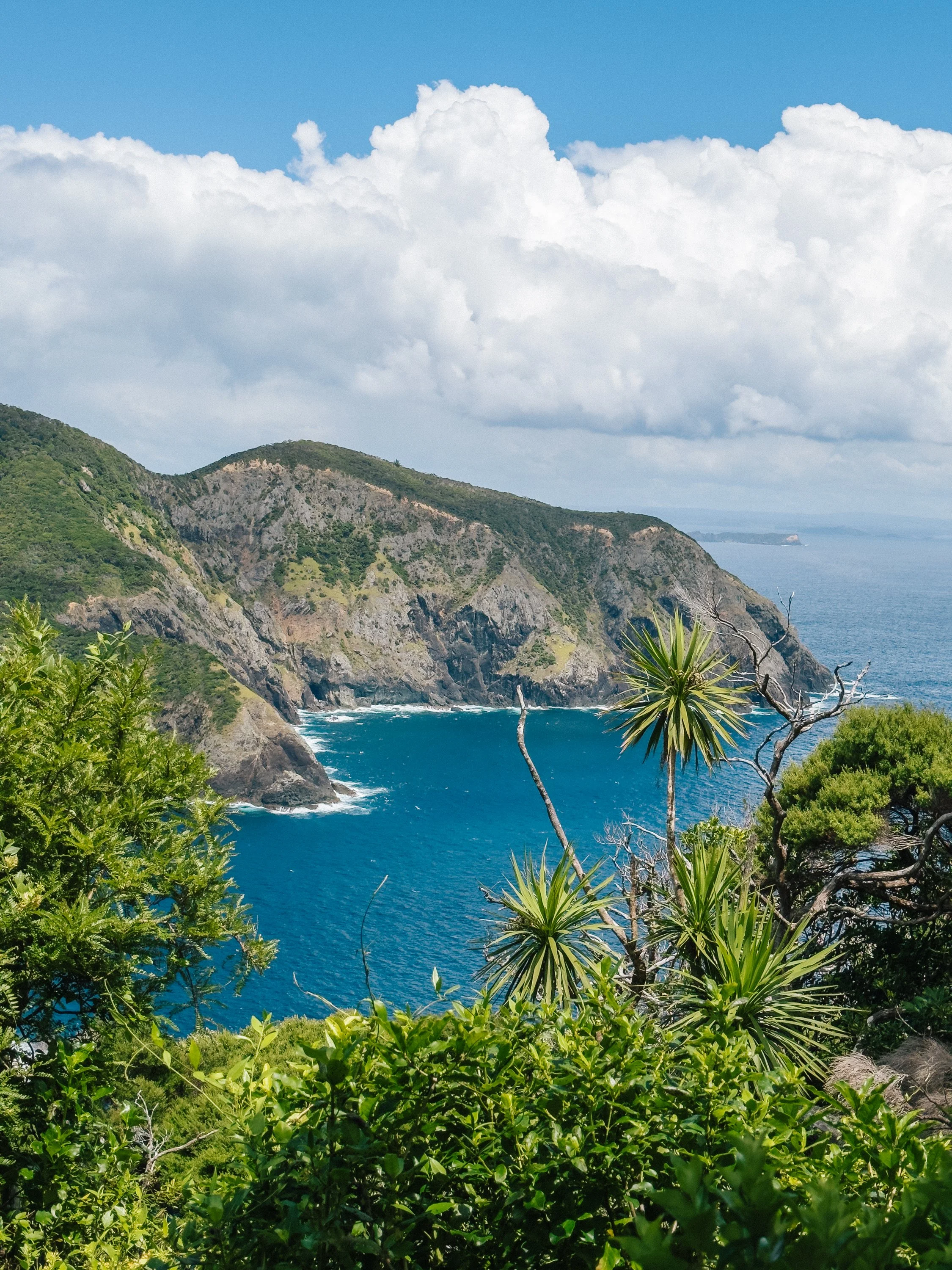
The views became progressively more dramatic. Every so often the trees opened to reveal the ocean far below and jagged islands scattered beyond the cape. After several hours of relentless climbing and descending, the Cape Brett lighthouse finally appeared ahead of us. Below it stood the old lighthouse keeper’s quarters, now used as a hut for trampers. We descended toward it for lunch, grateful to stop moving uphill for a while, before retracing our steps along the winding spine.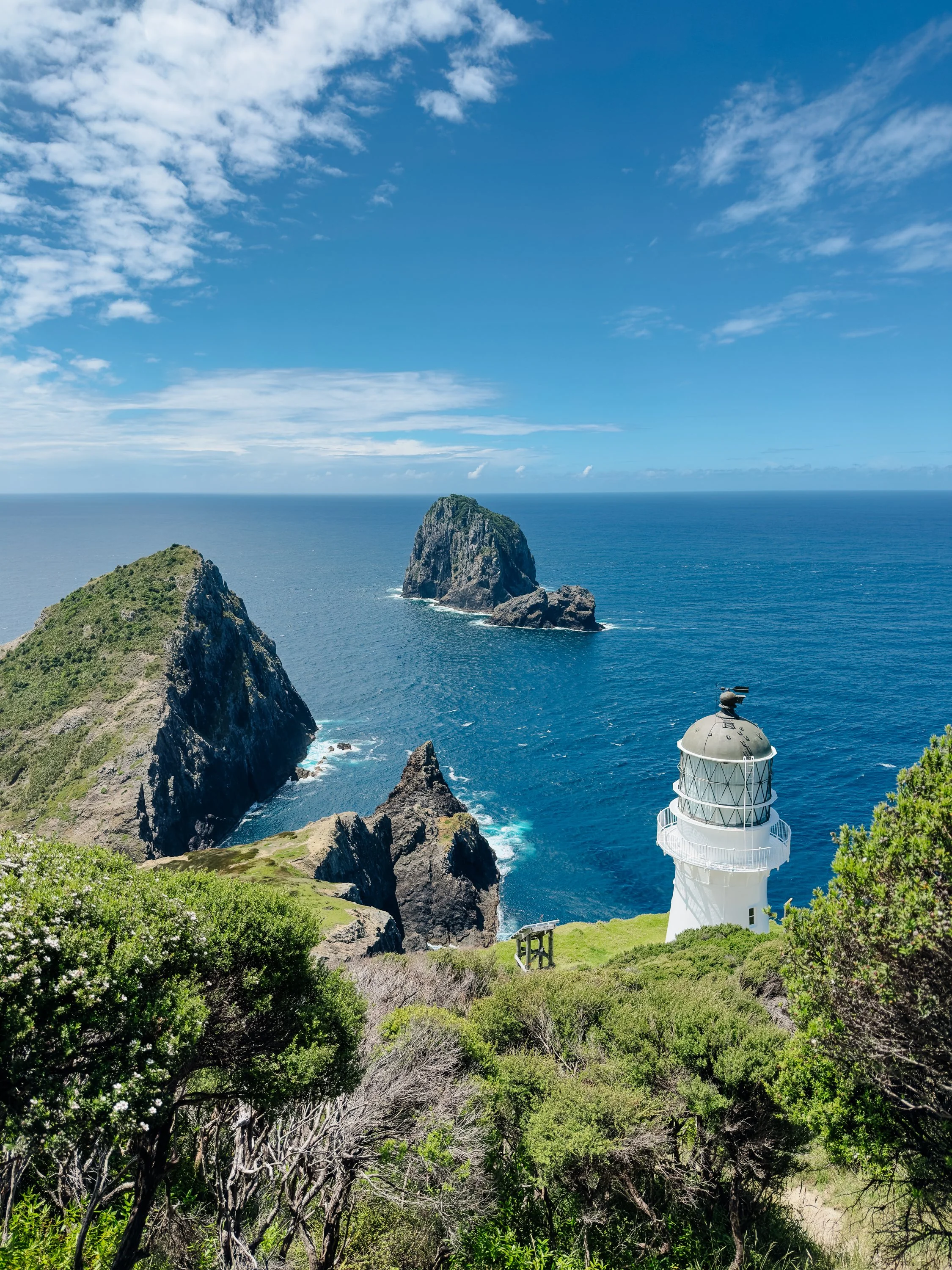
Cape BRett, Bay of Islands
Cape BRett, Bay of Islands
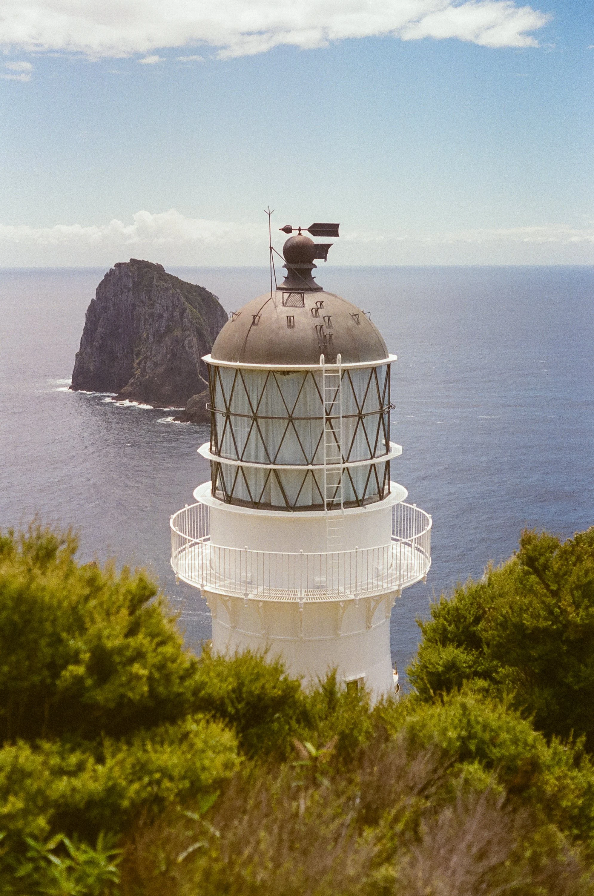
Cape BRett, Bay of Islands
The following morning, we raised anchor and continued south around Cape Brett, with our sights set on exploring the coastline and islands beyond us. Most intriguing of all was the possibility of reaching Great Barrier Island. Looking upward from the deck, we could trace portions of the same ridgeline we had walked the previous day. The cliffs looked entirely different from below: steeper, darker, and considerably more intimidating. There was something satisfying about seeing the cape from both perspectives. One day we understood the coastline from above, and the next, from the sea.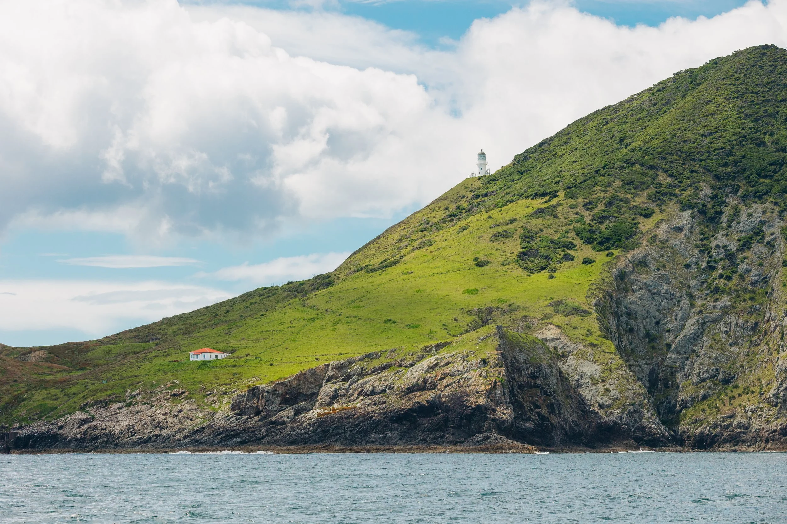
Cape BRett, Bay of Islands
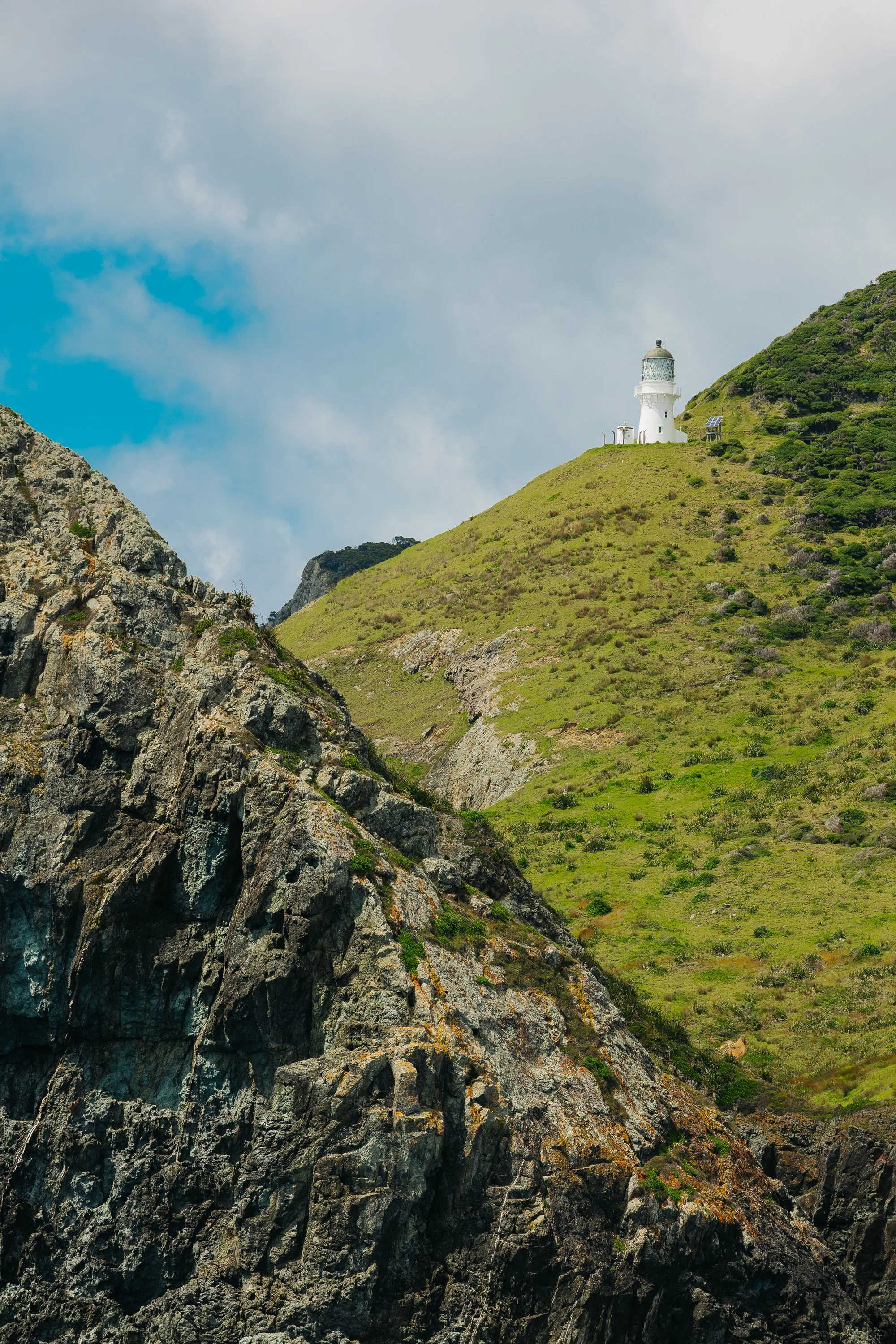
Cape BRett, Bay of Islands
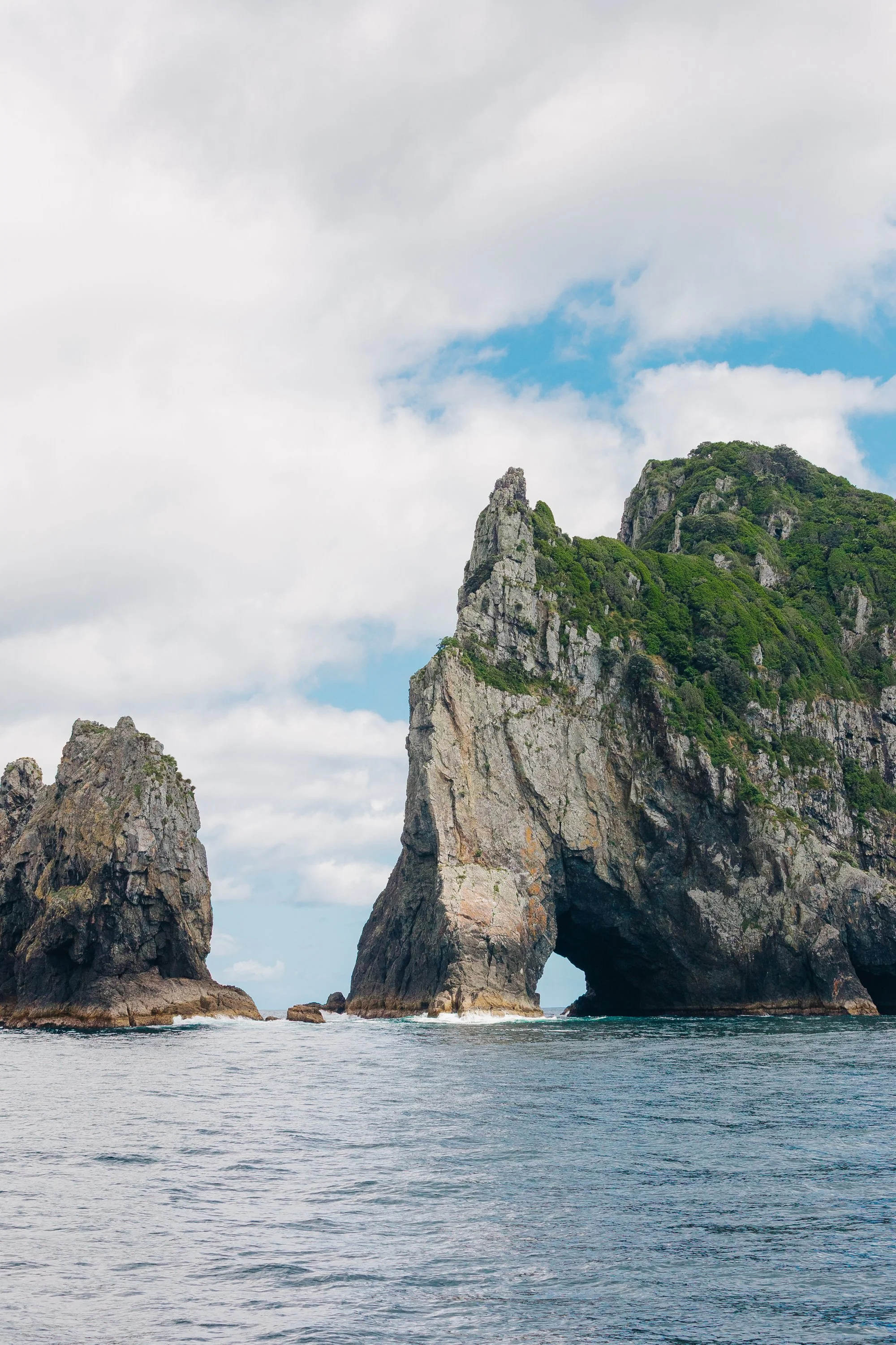
Cape BRett, Bay of Islands
The Poor Knights & Mokohinau Islands
The Poor Knights Islands (Tawhiti Rahi & Aorangi), rose abruptly from the sea, steep-sided and riddled with arches, caves, and improbable rock formations. They are renowned for their marine life and diving, with unusually rich subtropical ecosystems influenced by warm ocean currents. Even from the surface, we could understand the appeal. The islands felt like exposed remnants of a much larger geological story, worn down by ocean and time.Unfortunately, the sea state began deteriorating as we approached. The wind-driven swell wrapped into the islands’ few sheltered anchorages at uncomfortable angles, creating a washing machine of confused waves. We had already suspected that conditions might prevent us from anchoring for the night, and after exploring the islands for a while in search of somewhere tenable, that suspicion became a certainty. Some destinations become places you inhabit. Others remain glimpses granted by weather.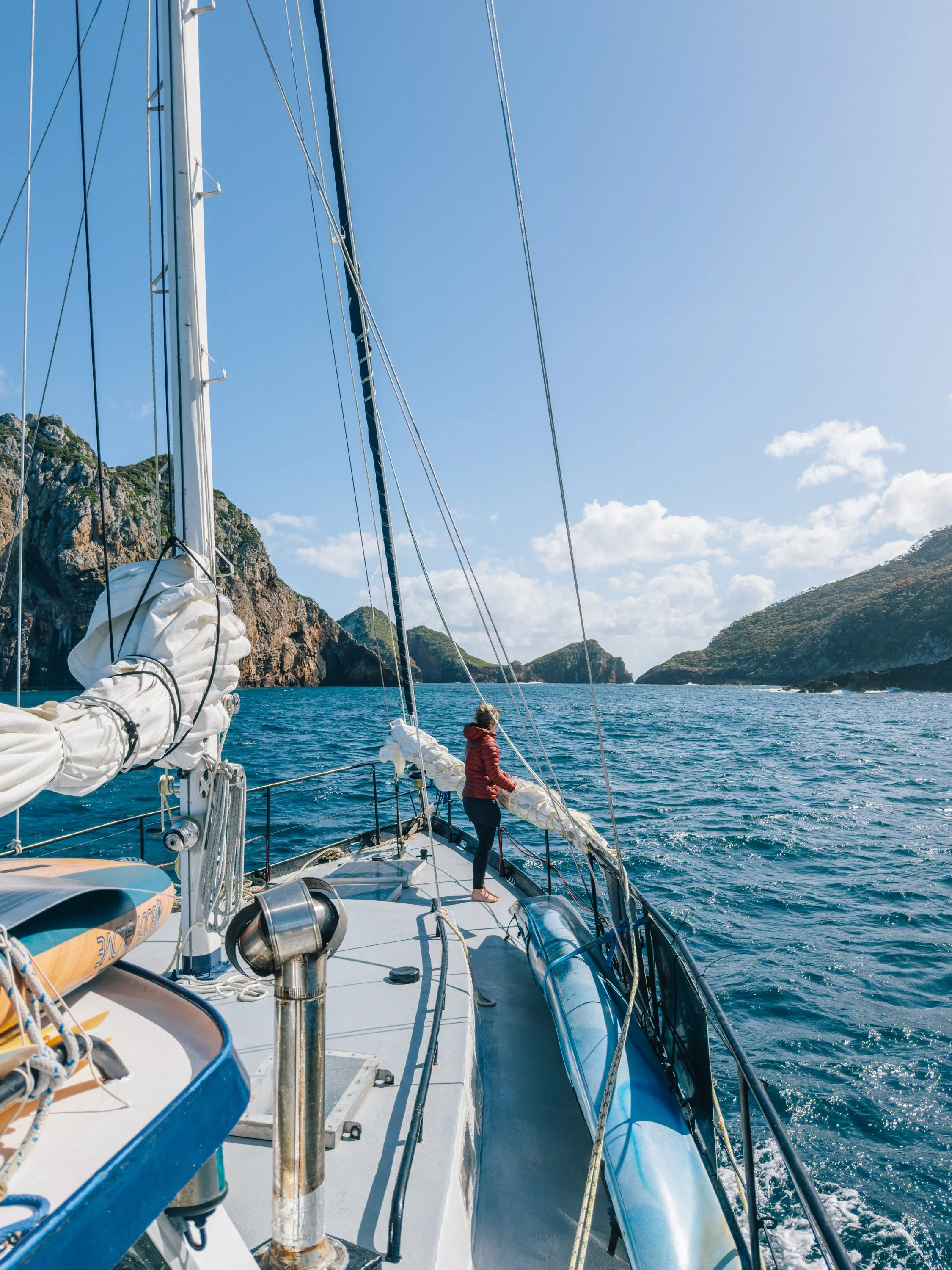
The Poor Knights Islands
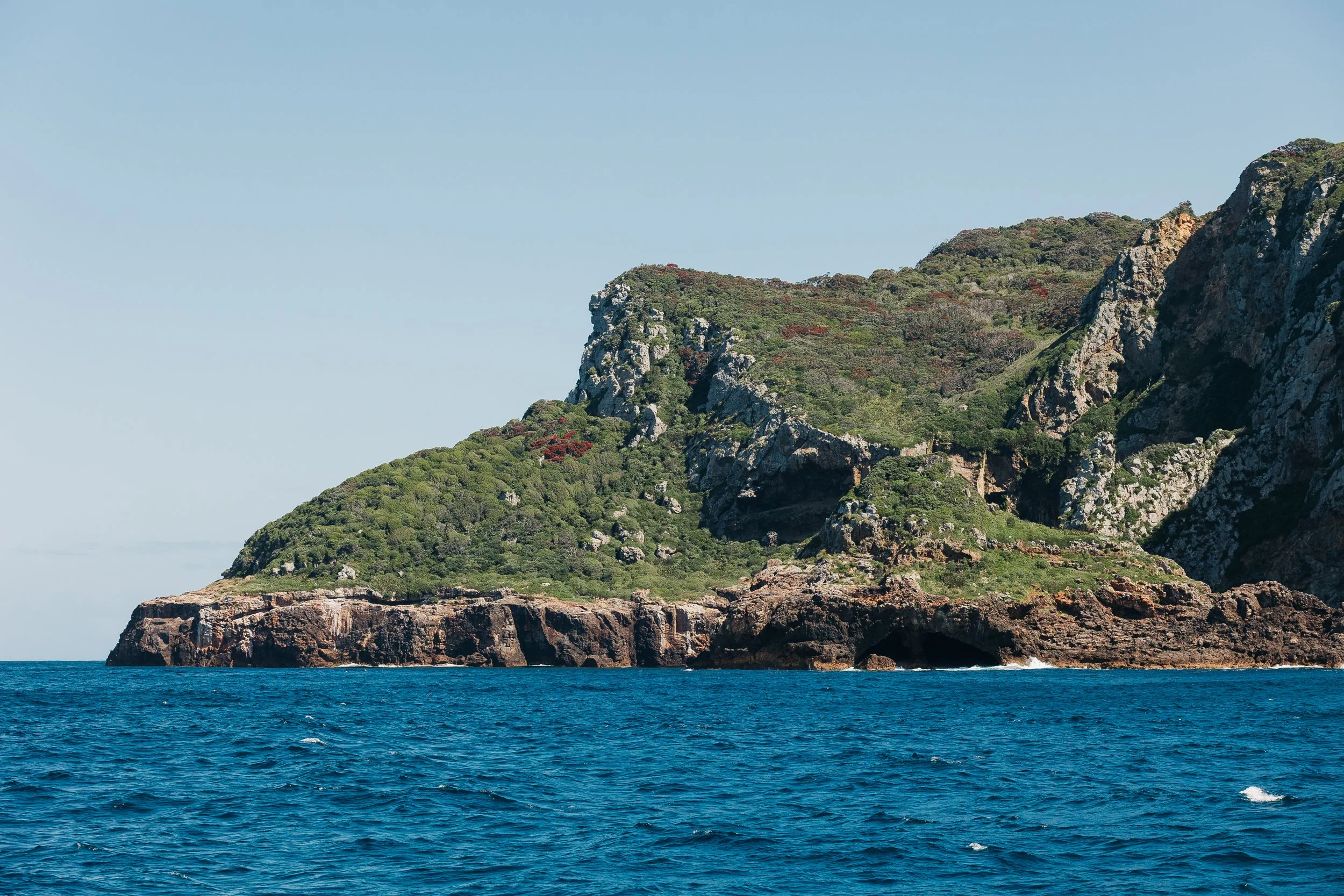
The Poor Knights Islands
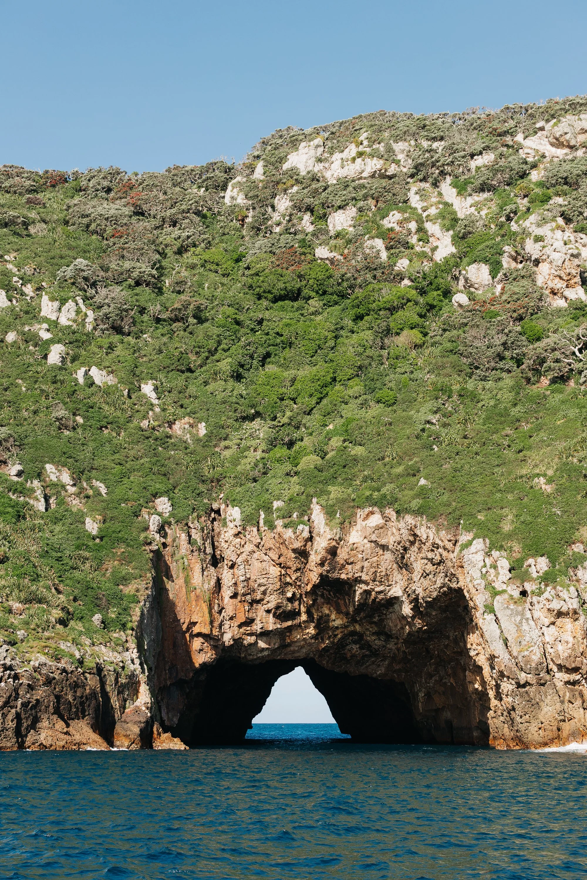
The Poor Knights Islands
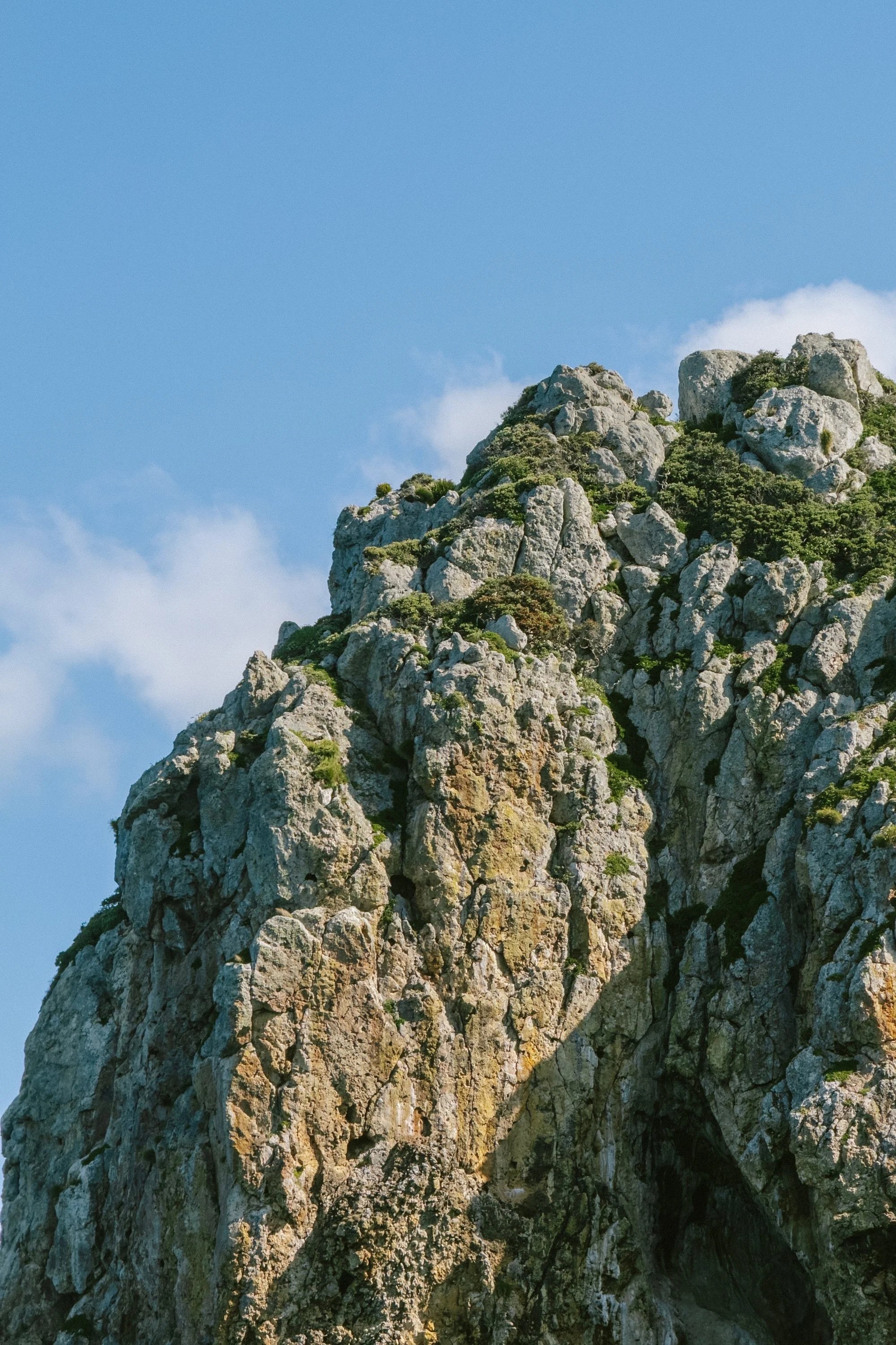
The Poor Knights Islands
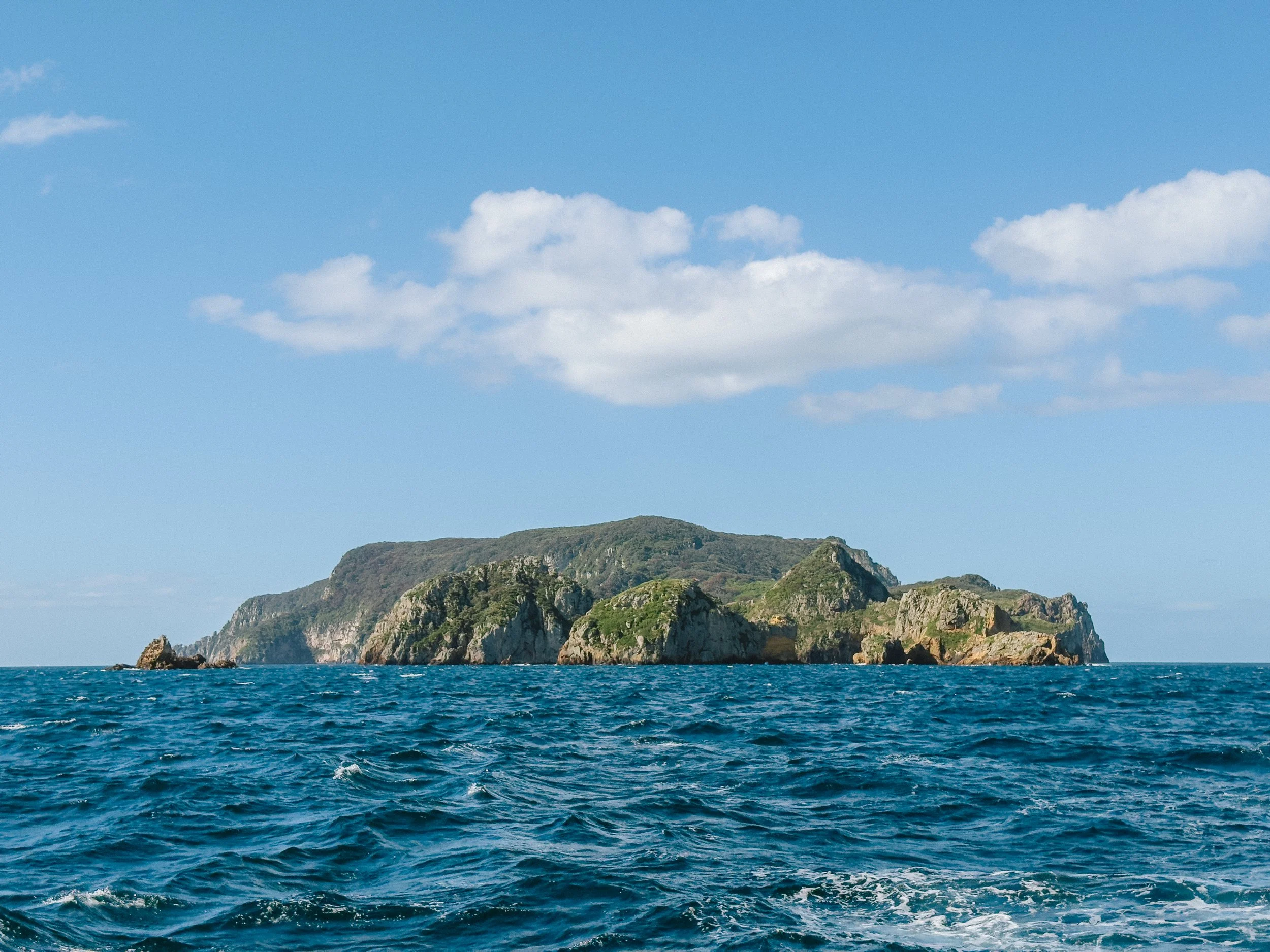
The Poor Knights Islands
We turned the bow of Arcturus back toward the mainland and made for Tutukaka, motoring against the wind and waves for roughly two hours until we finally slipped into the protection of the bay. Waiting there was a friend we had first met much earlier in our sailing journey through Mexico: Bruce on Bob. We crossed paths shortly before our Pacific crossing, met up again aboard his boat once we had both reached French Polynesia, and later found ourselves together once more at Vuda Marina in Fiji before eventually making our separate ways to New Zealand. He happened to be a permanent resident of this pleasant little seaside town and had only recently returned home after completing his own two-and-a-half-year circumnavigation of the Pacific.We met at the local pizza restaurant, Marina Woodfired Dining, traded stories of passages and places, and left with an armful of fresh greens and herbs from his garden. It was a simple gesture, but one that felt wonderfully familiar. We have said it many times throughout this voyage: the kindness of sailors never ceases to amaze us.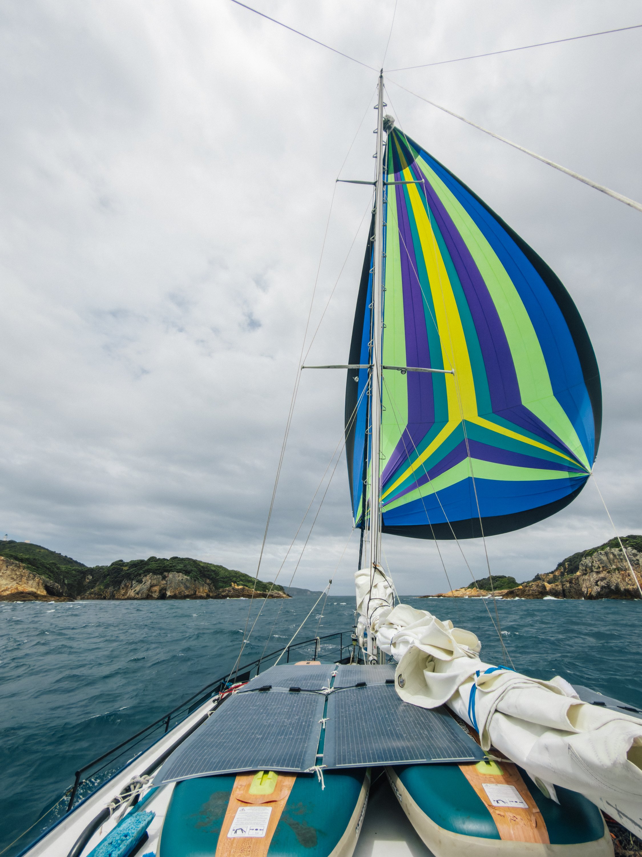
Mokohinau Islands
Mokohinau Islands
Mokohinau Islands
Mokohinau Islands
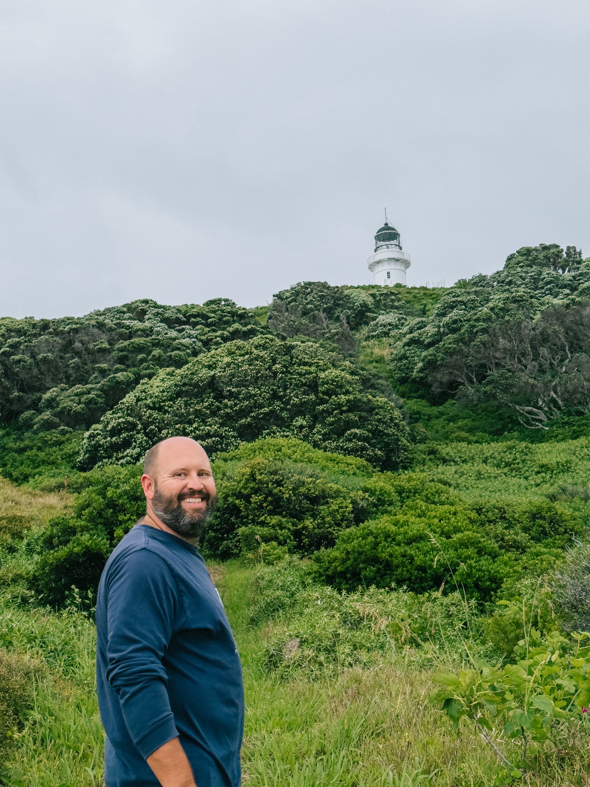
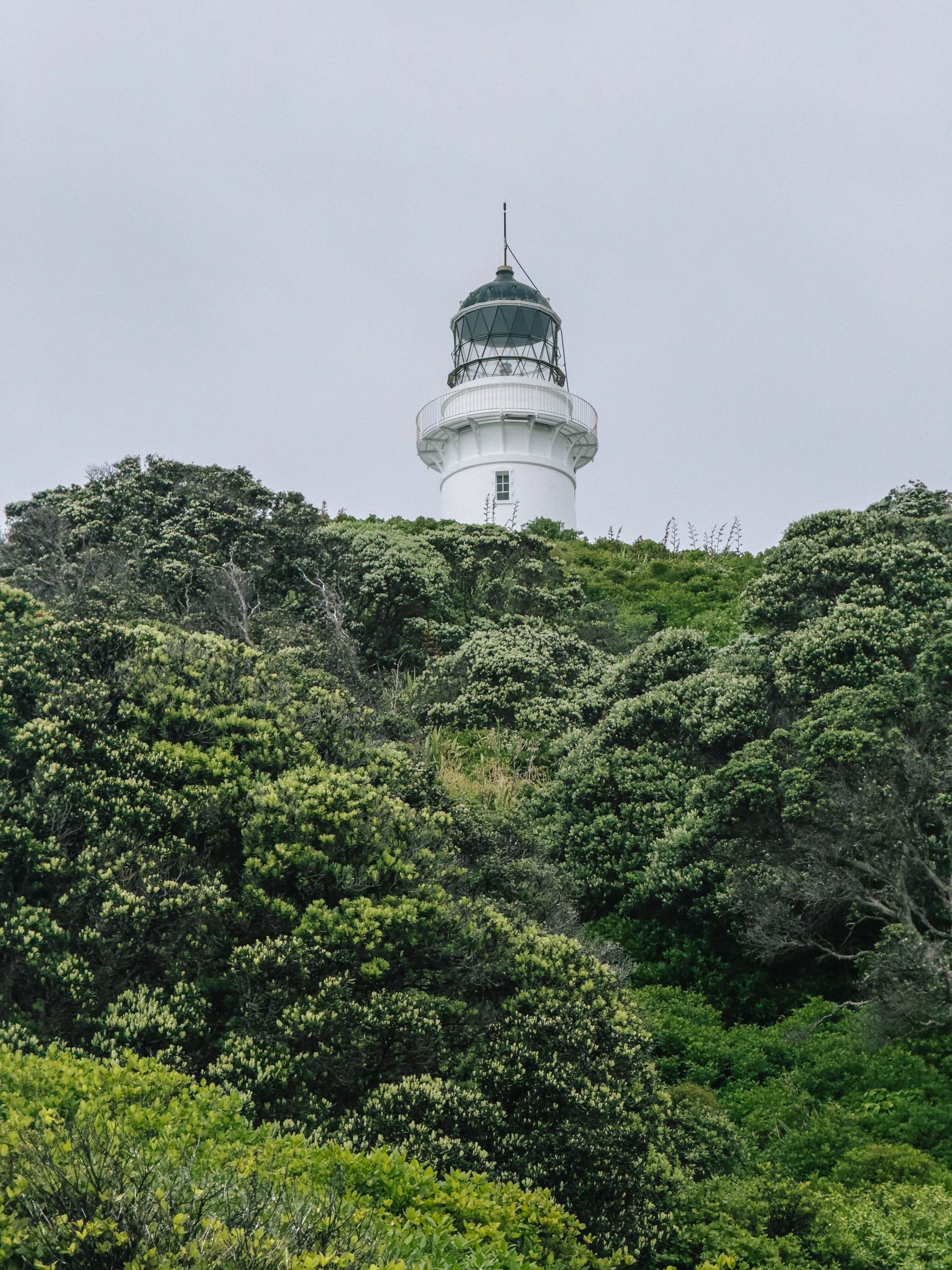
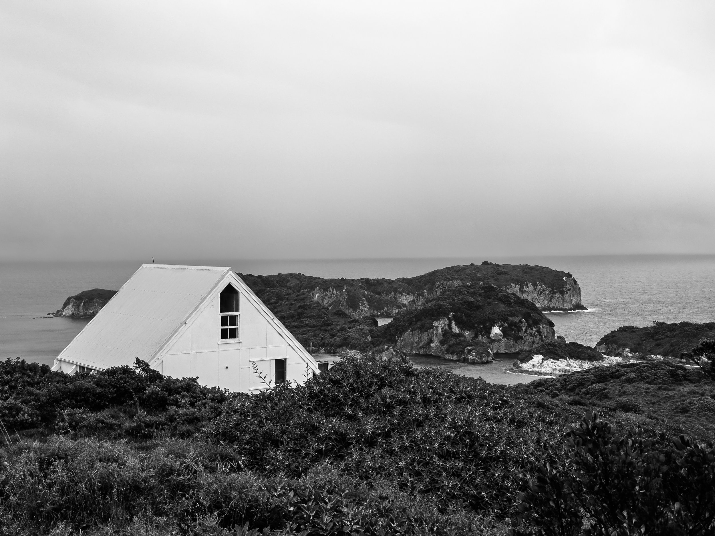
The following morning, we set off again with Great Barrier Island, Aotea, in our sights. Along the way, conditions were calm enough for us to sail past and stop at Burgess Island, Pokohinu, threading Arcturus through the cut between it and Hokoromea Island before anchoring and heading ashore. Our goal was the remote Mokohinau Island Lighthouse, built in 1883.The day was already grey when we landed. By the time we reached higher ground, darker weather was moving steadily toward us across the sea. The view was spectacular in that brooding New Zealand way: open ocean, windswept vegetation, and a horizon slowly disappearing behind rain. It quickly became apparent that our leisurely lighthouse excursion was about to become a race back to the boat. We hurried down toward the shore as the weather closed in, climbed back aboard Arcturus, and continued toward the destination that had increasingly captured our curiosity: Great Barrier Island (Aotea). And, though we did not know it yet, one of the places that would become a favorite of our entire time in New Zealand.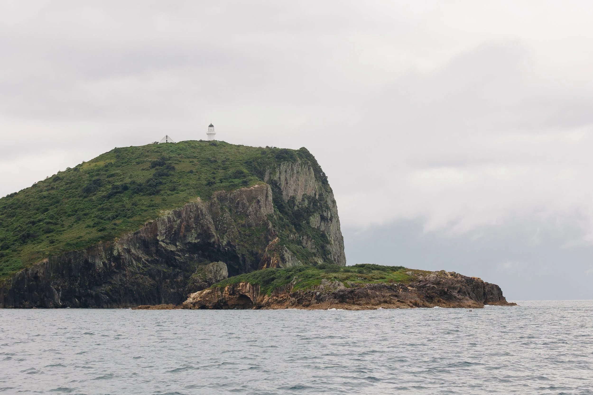
Mokohinau Islands
Great Barrier Island (Aotea)
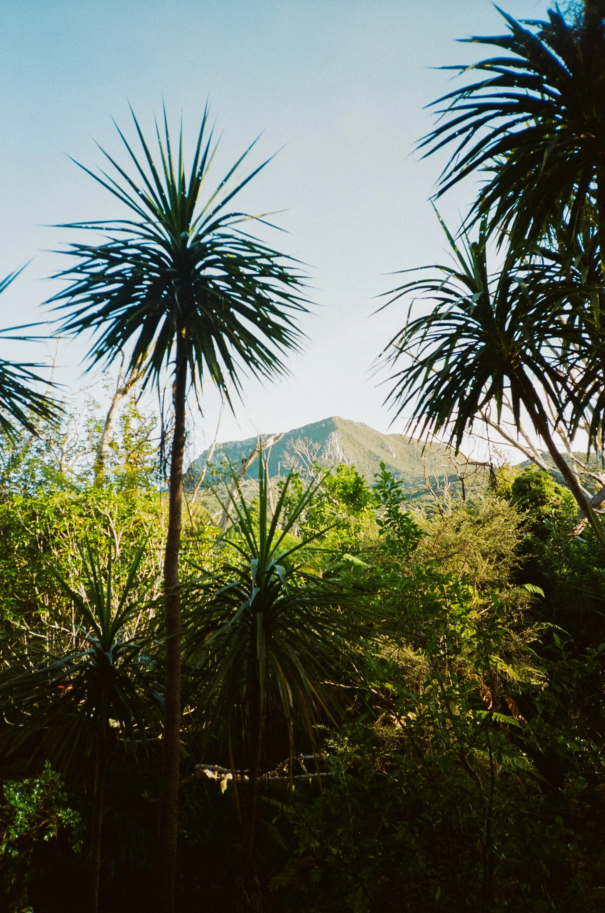
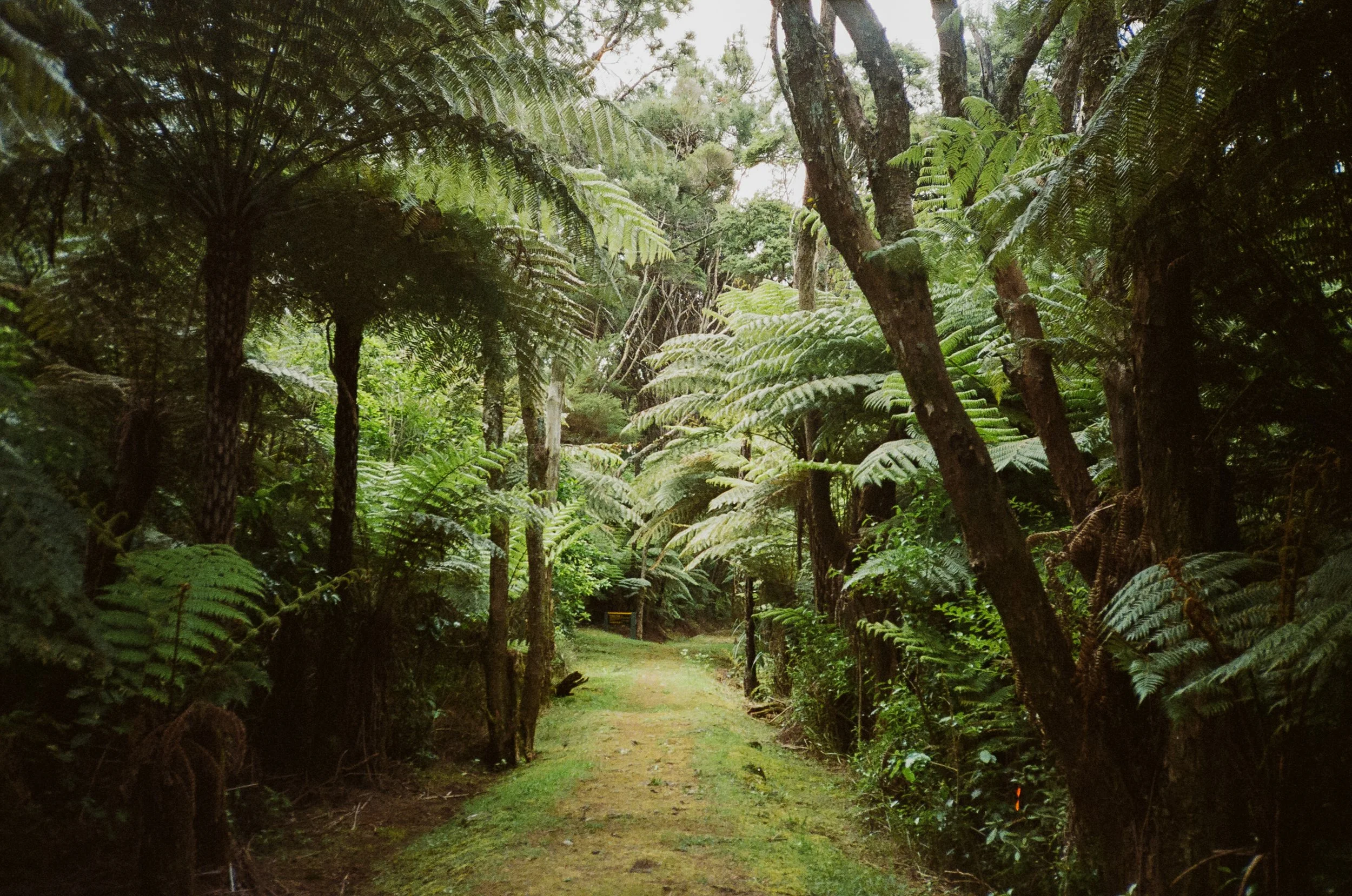
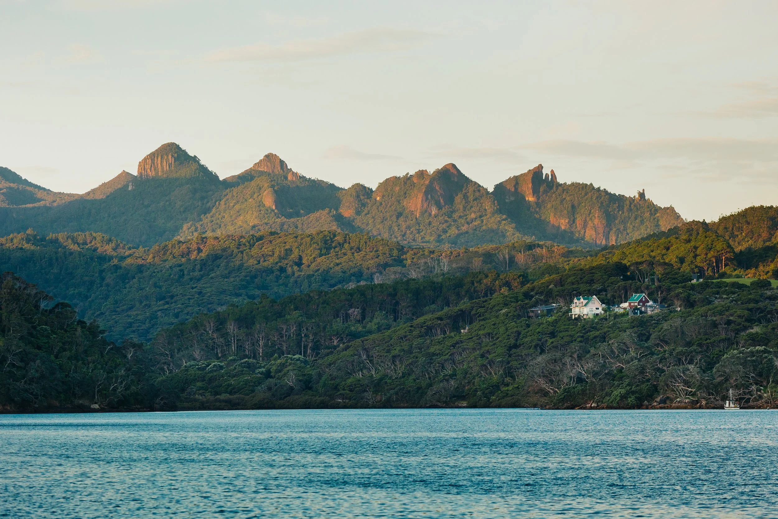
We arrived at Great Barrier Island (Aotea) with remarkably little idea what we would find. We knew there were hiking trails. We knew there were natural hot springs somewhere in the interior. Beyond that, the island was largely a blank space on our mental map. Perhaps that is why it surprised us so completely. At 285 square kilometers (110 square miles), it is ever so slightly smaller than the island nation of Malta in the Mediterranean.As we sailed in, we passed Little Barrier Island (Te Hauturu-o-Toi). Mountains rose behind deep bays while thick native forest covered much of the interior. Development was sparse, anchorages were quiet, and despite its relative proximity to Auckland, Aotea felt wonderfully removed from the modern world.The wilderness appearance, however, concealed a surprisingly industrious past. For centuries, the island has held significance for Māori, particularly Ngāti Rehua Ngātiwai ki Aotea, the local iwi, whose long relationship with the island is reflected in pā sites, middens, storage pits, and other archaeological traces scattered through the landscape. European settlement brought an entirely different chapter. Aotea was heavily worked for kauri timber, kauri gum, minerals, and later whaling. Copper was mined near Miners Head as early as the 1840s, while gold and silver extraction followed in later decades. We would encounter reminders of that history beneath the forest.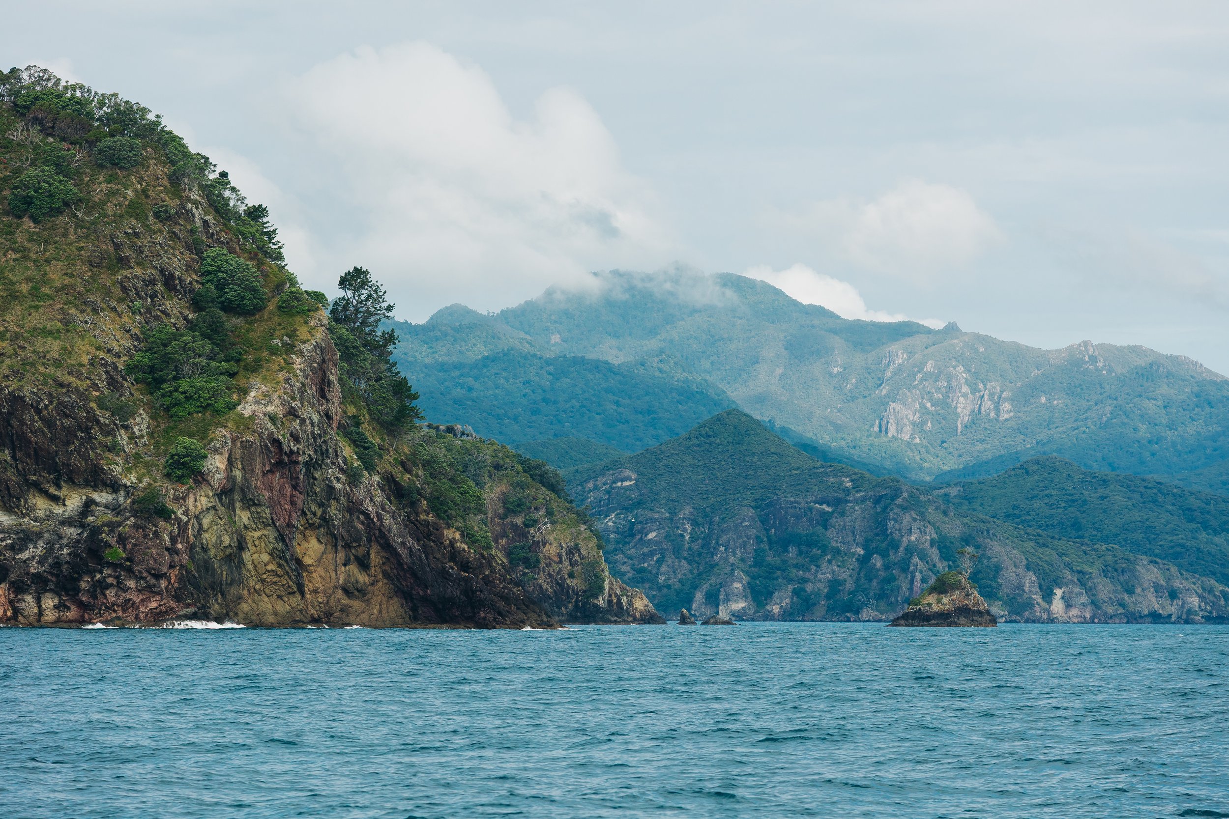
Great BArrier ISland
Great BArrier ISland
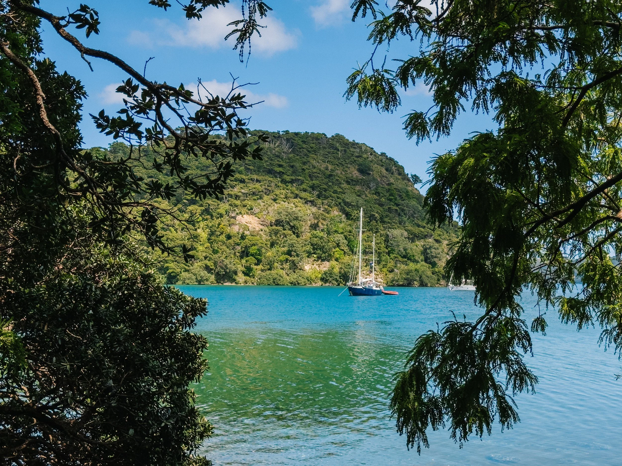
Great BArrier ISland
As we pulled into Smokehouse Bay, we discovered one of the island’s best-known cruising anchorages: a place seemingly designed around the rhythms of arriving by boat. The property had been developed by a sailor who envisioned an outdoorsy, communal gathering place for like-minded cruisers, complete with many of the small luxuries most sorely missed aboard a sailboat. There were indoor and outdoor bathtubs, barbecue grills, a pizza oven, fire pits, and, naturally, a smokehouse. The whole place felt wonderfully rustic and social, with multiple little gathering spaces scattered throughout the grounds where sailors could cook, soak, trade stories, and linger well into the evening.We met several local sailors who had come out from Auckland for the weekend and quickly began to understand that Smokehouse Bay was something of a favorite escape from the city. As we finally made our way back toward Arcturus after dark, another surprise was waiting beneath the raft. Eagle rays moved silently through the water below us, their outlines illuminating in flashes of bioluminescence as they disturbed the surface. It was one of those small, fleeting moments that made the anchorage feel even more magical.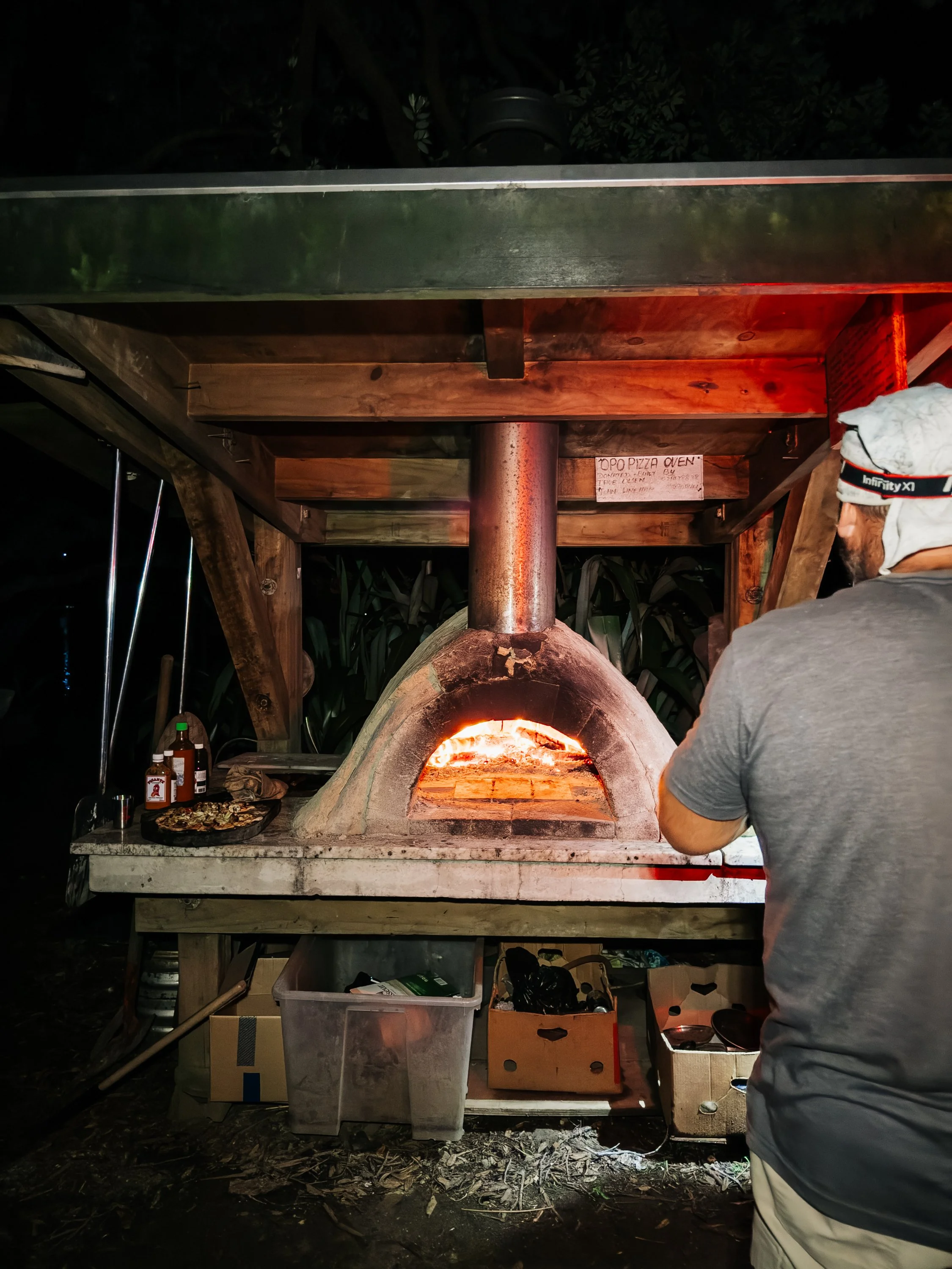
Smokehouse Bay Pizza Oven
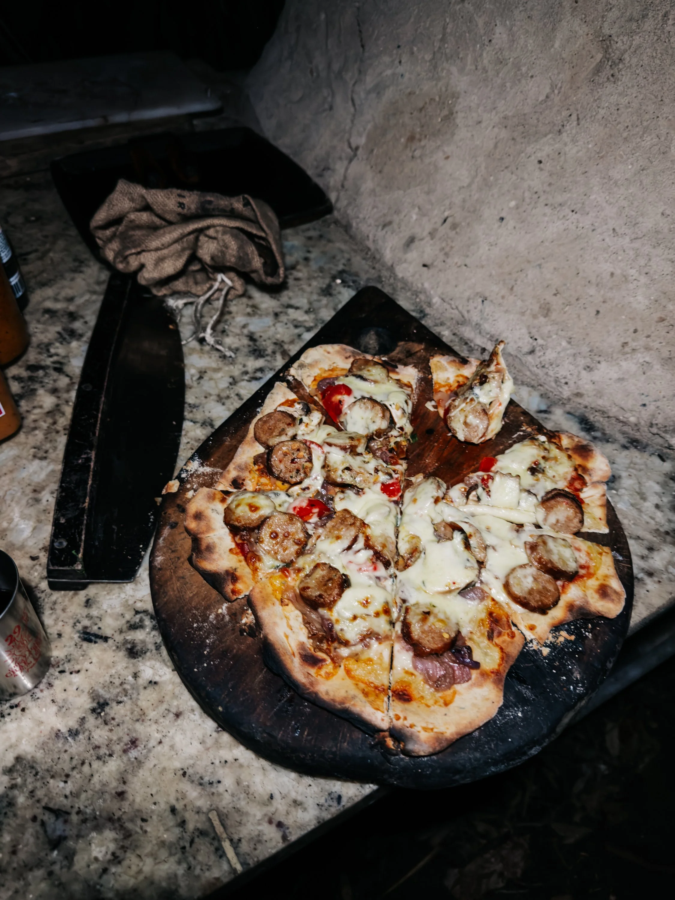
Smokehouse Bay Pizza Oven
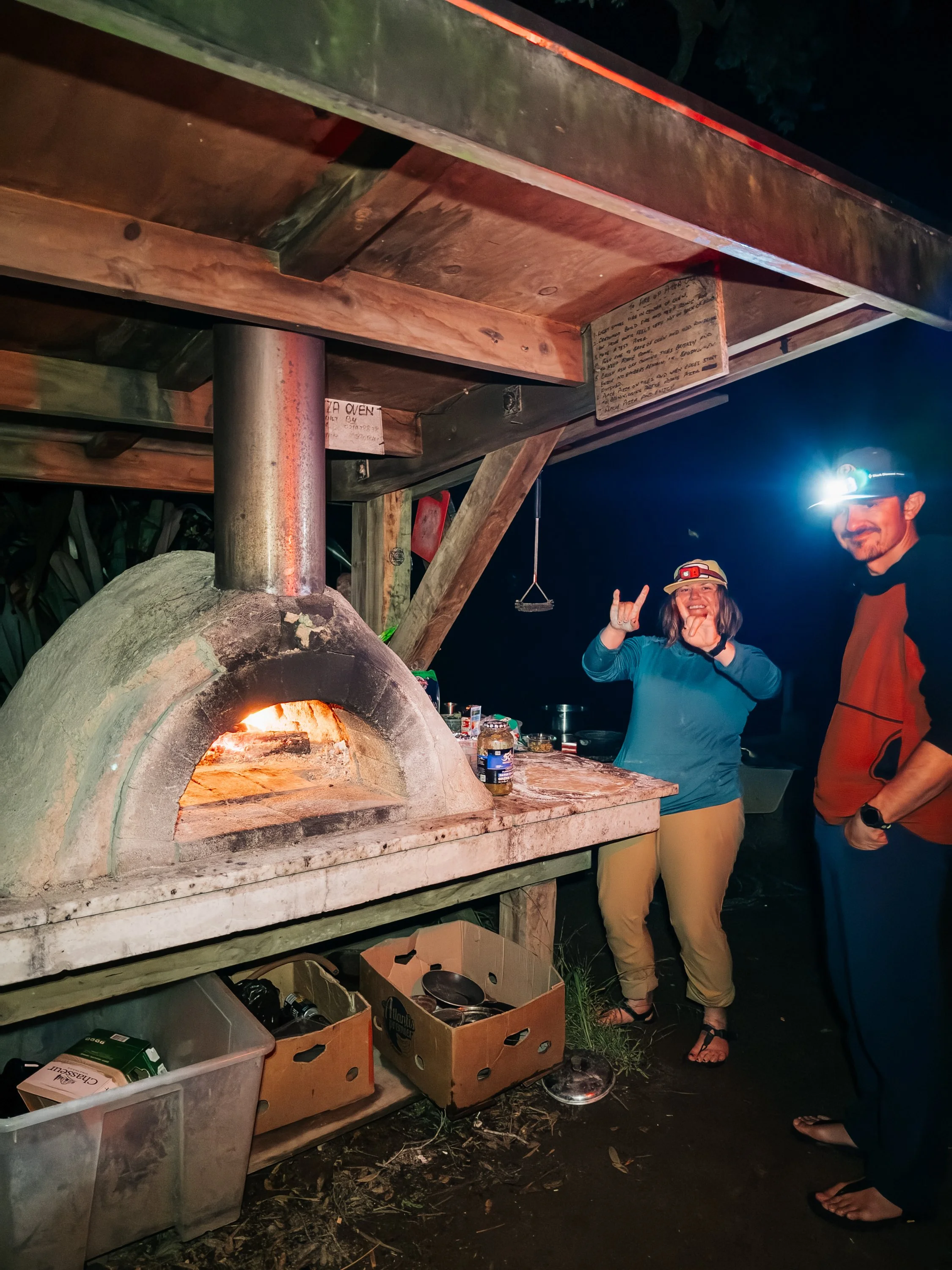
Smokehouse Bay Pizza Oven
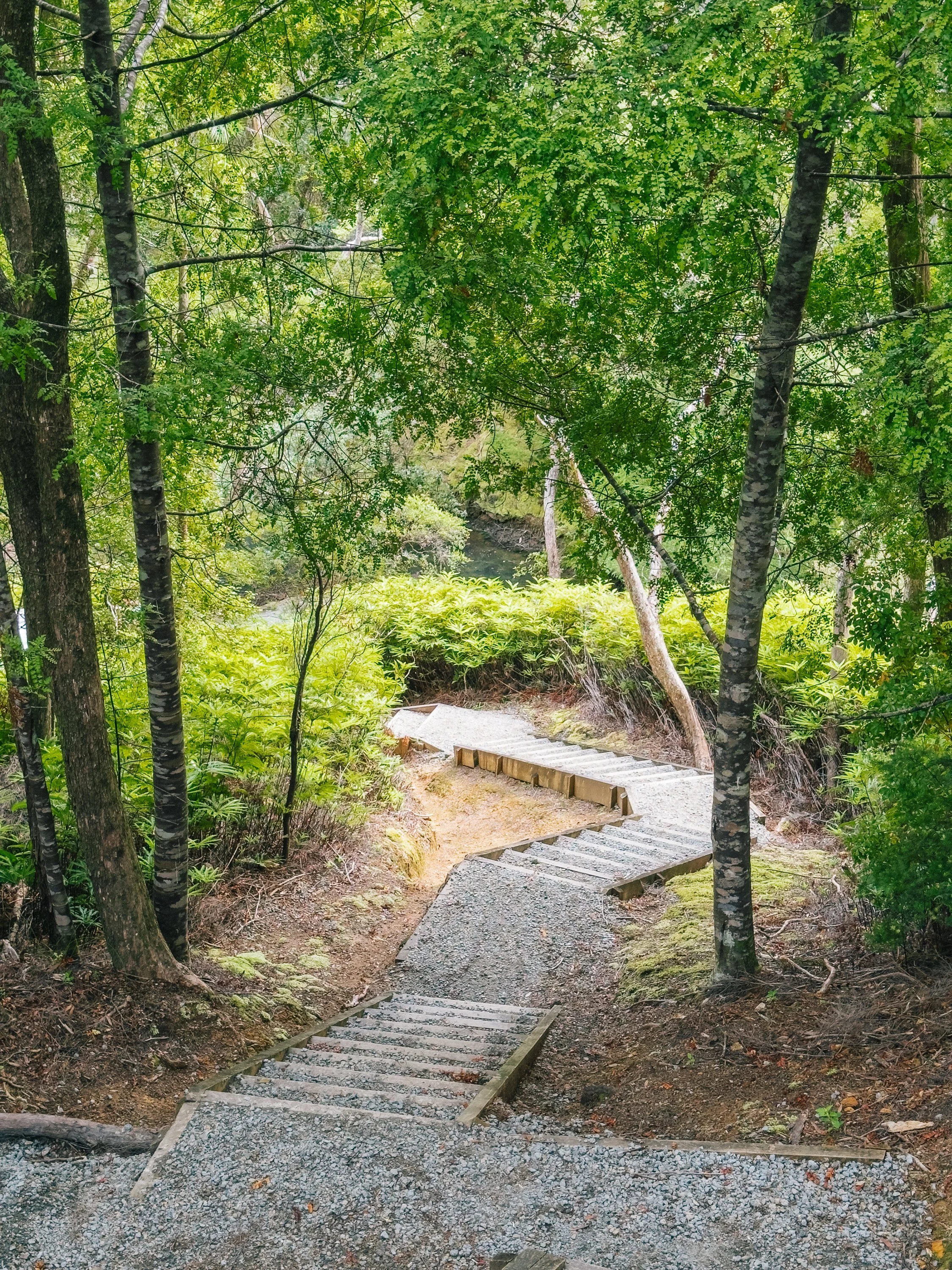
Our first quest the next morning on the island was for hot springs. From Whangaparapara, we followed the old Tramline Track inland toward Kaitoke Hot Springs. Today, the trail disappears beneath dense regrowth, but its name hints at the industrial landscape that once existed there. Roads, tramways, and enormous kauri-driving dams were built through these valleys to move timber toward the coast. Some of those dams were engineered to hold back huge quantities of water before releasing it in a violent rush, flushing felled kauri downstream.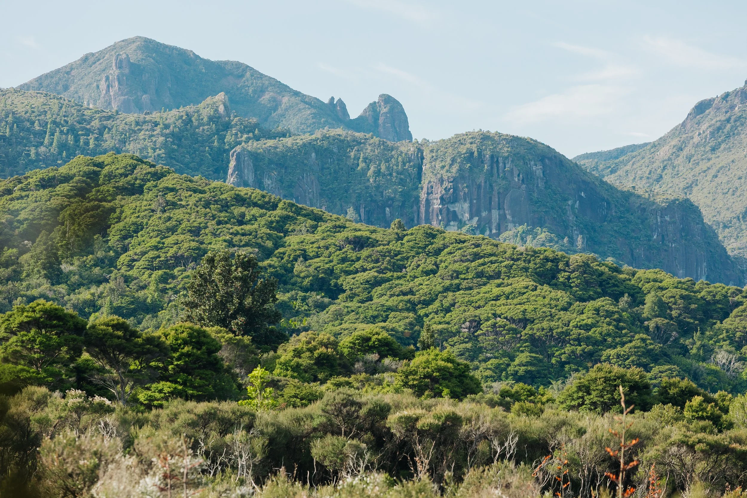
Great Barrier Island
Kaitoke Hot Springs
Kaitoke Hot Springs
Kaitoke Hot Springs
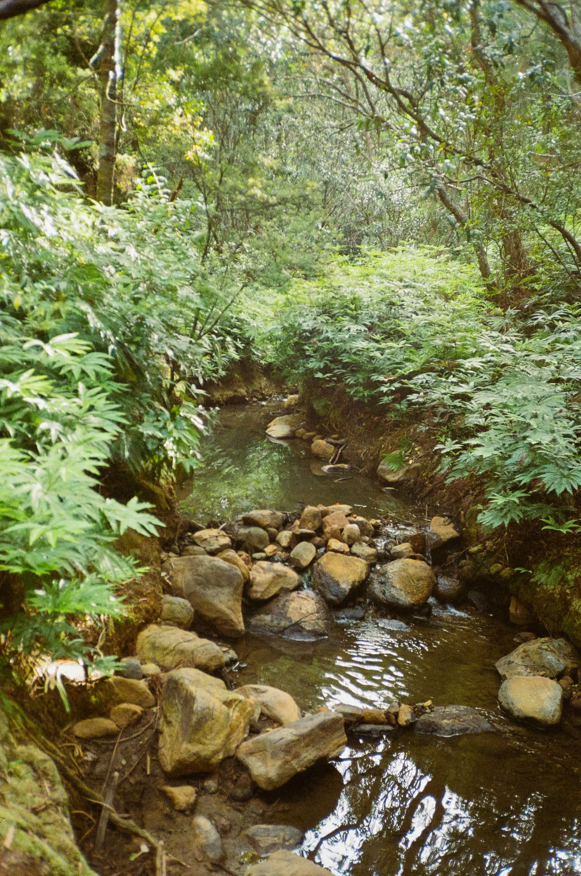
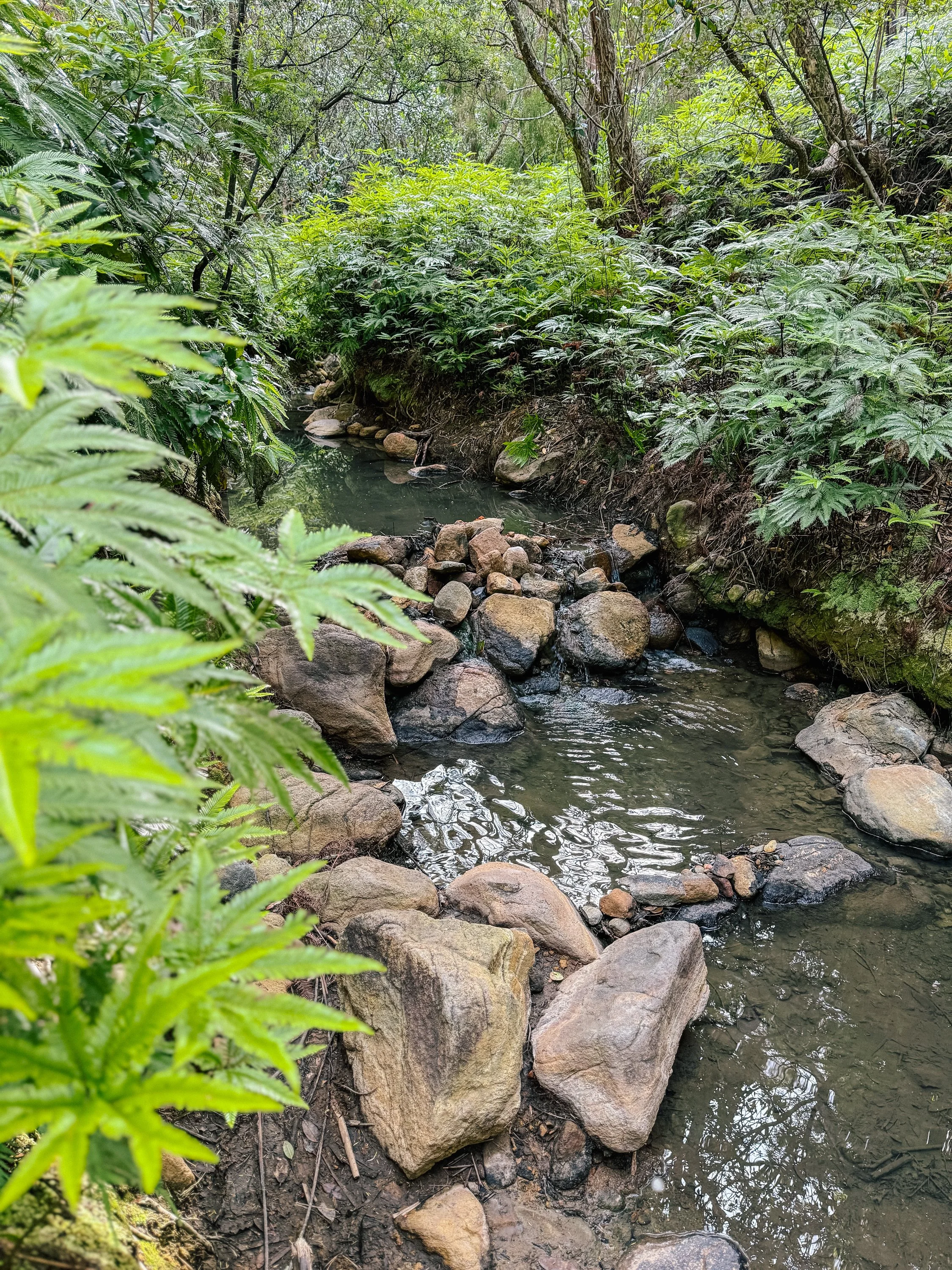
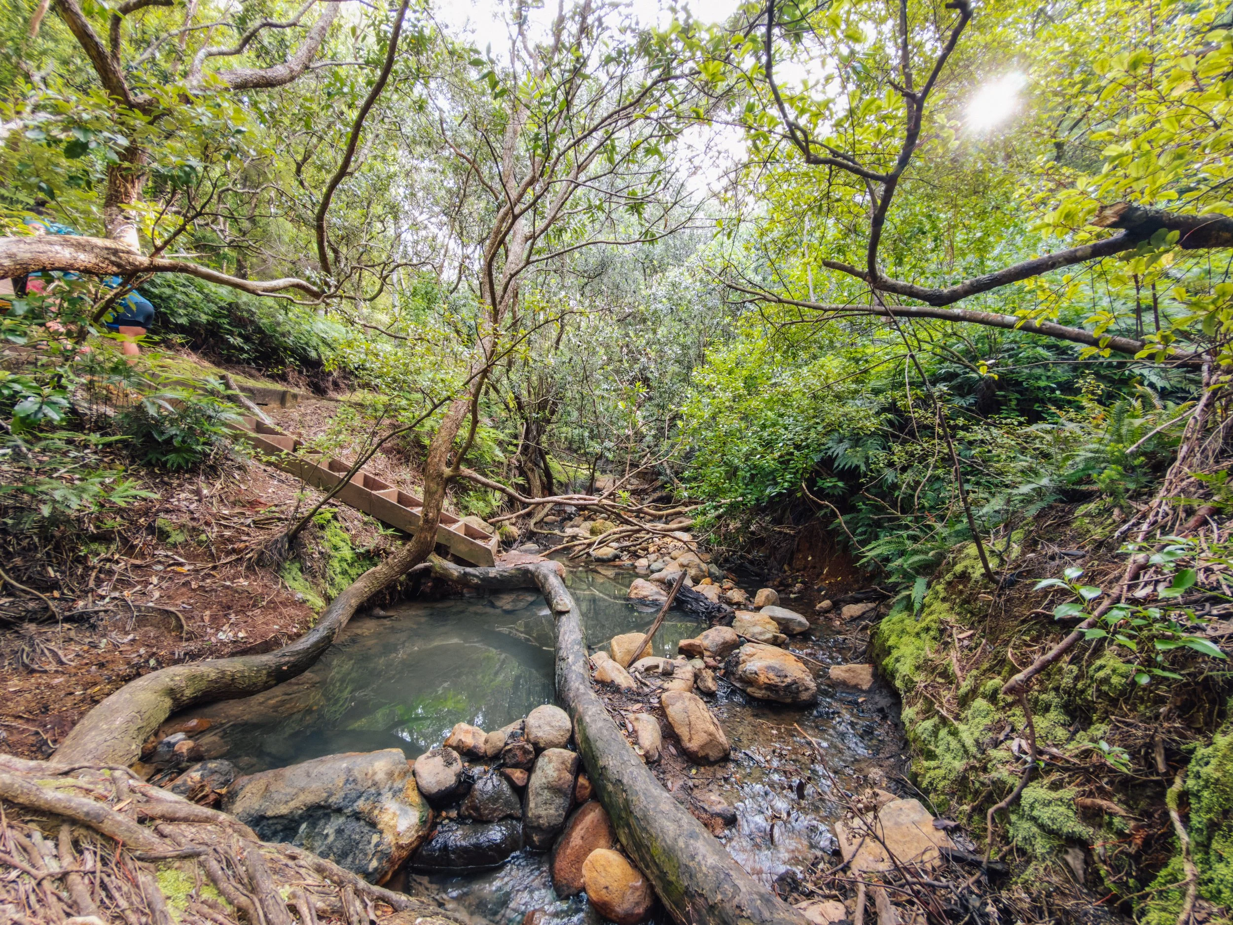
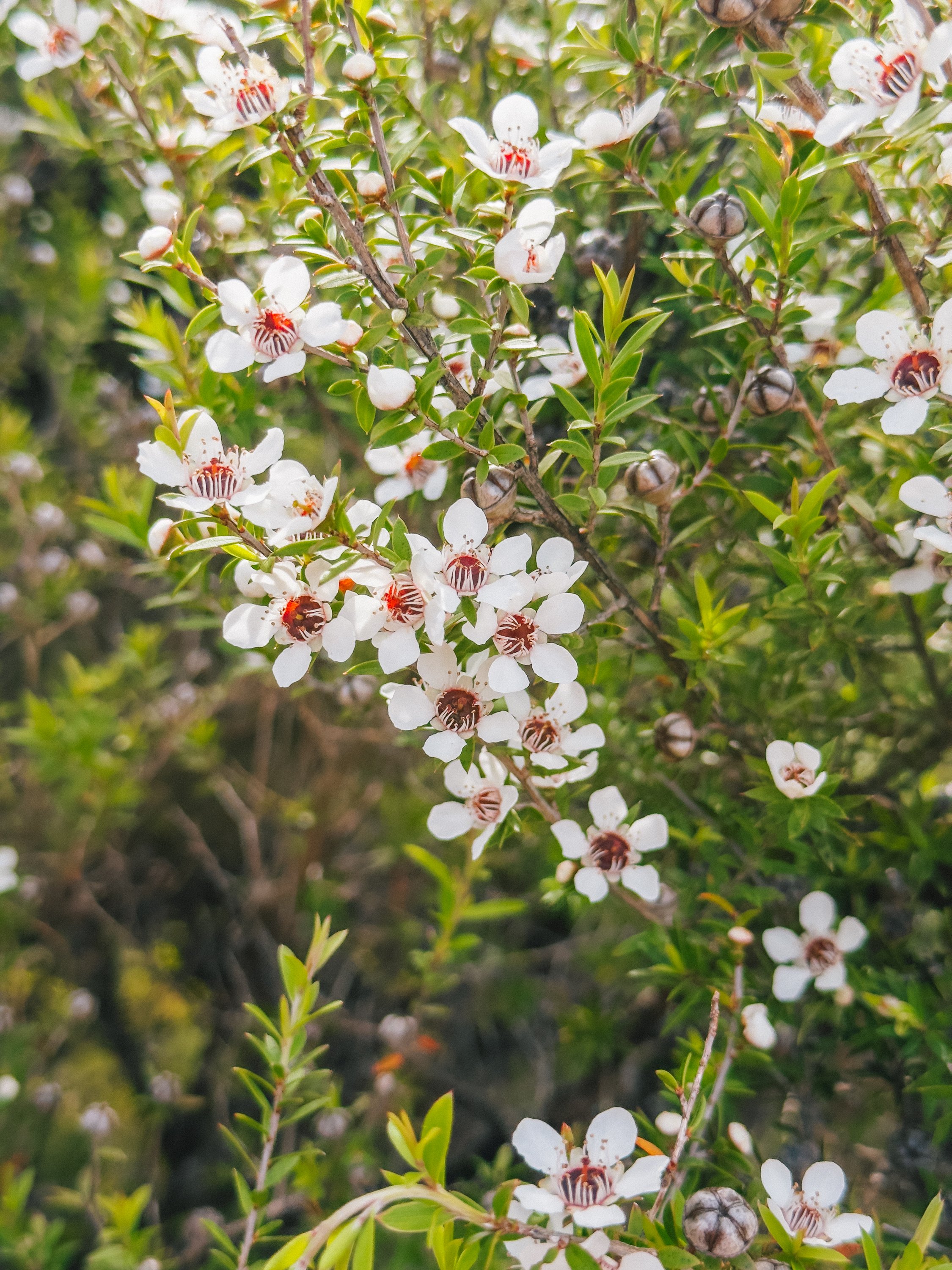
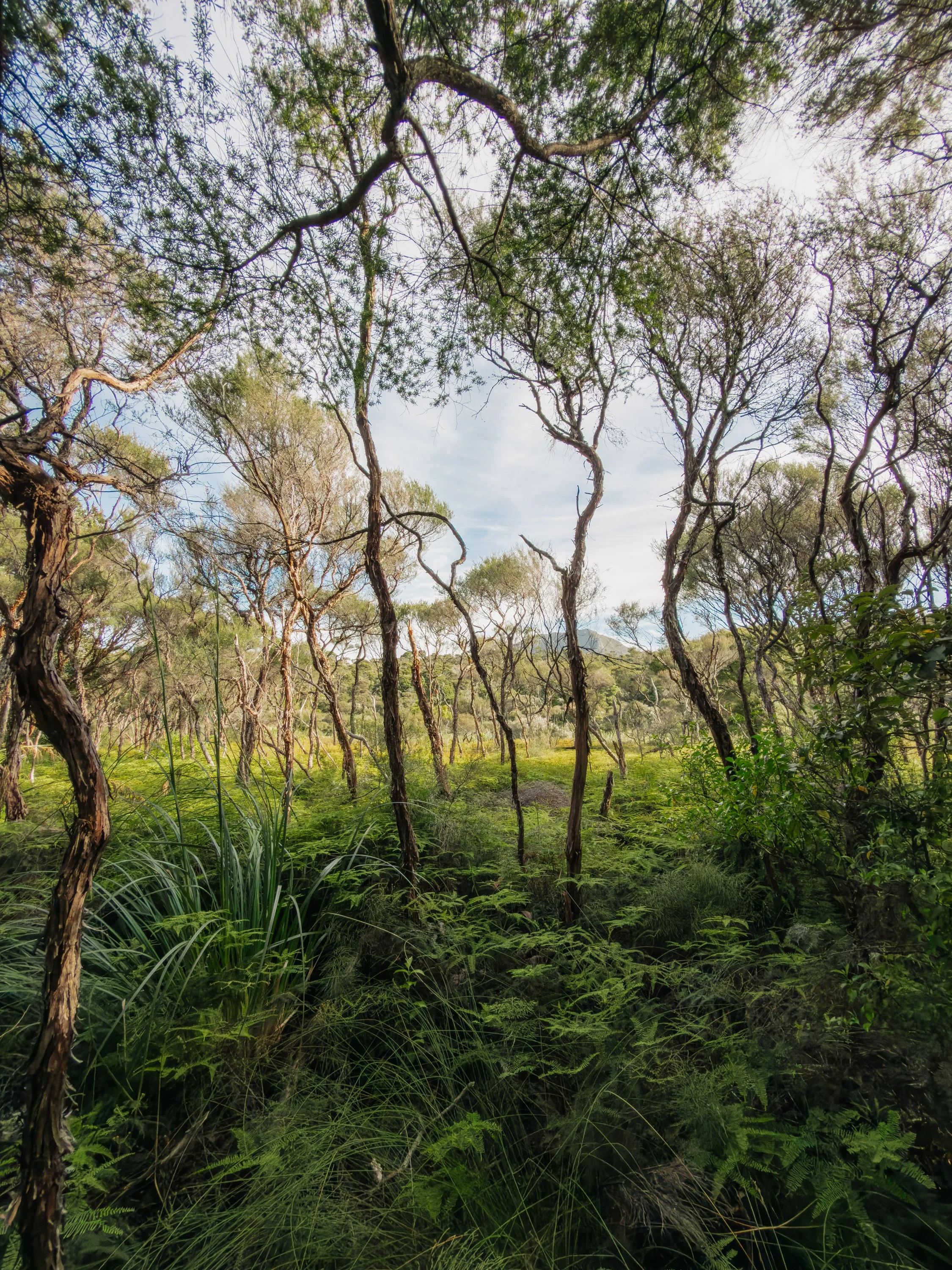
It was strange to imagine such enormous extraction taking place in a landscape that now felt so thoroughly reclaimed by the forest. Eventually, the remnants faded beneath vegetation and the trail carried us into wetlands and native bush, crossing bridge after bridge over countless streams, until warm geothermal water finally bubbled up beneath the trees. Sitting in a naturally heated pool surrounded by greenery felt wonderfully decadent and reminded us of the faraway hot springs we love so much in Southeast Alaska.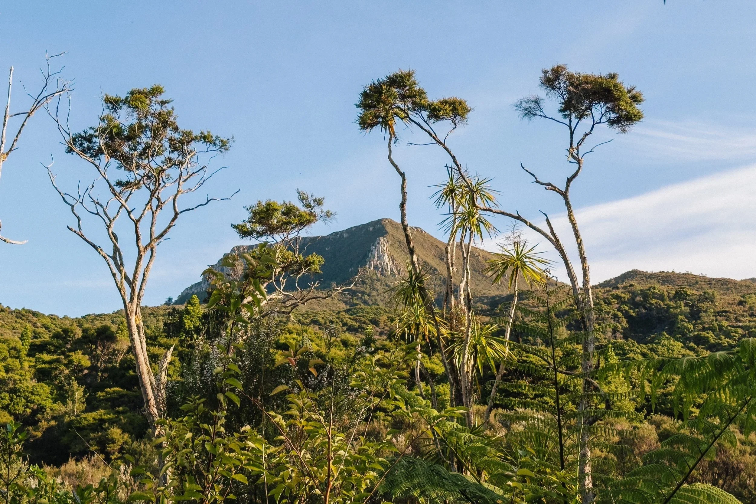
Great Barrier Island
Manuka Flowers
Great Barrier Island
Great Barrier Island
To the Top of Hirakimatā
The following day, we anchored in Kiwiriki Bay and took the raft around to neighboring Kaiaraara Bay to access the trail leading toward Mount Hobson (Hirakimatā). At roughly 2,057 feet (627 meters), it is the highest point on Great Barrier Island. The weather had turned brilliantly clear, and although the hike ahead was estimated at anywhere from five to seven hours depending on which review we believed, we were determined to make a proper sea-to-summit day of it. There was also the promise of pizza waiting for us back at Smokehouse Bay that evening, which proved to be excellent motivation.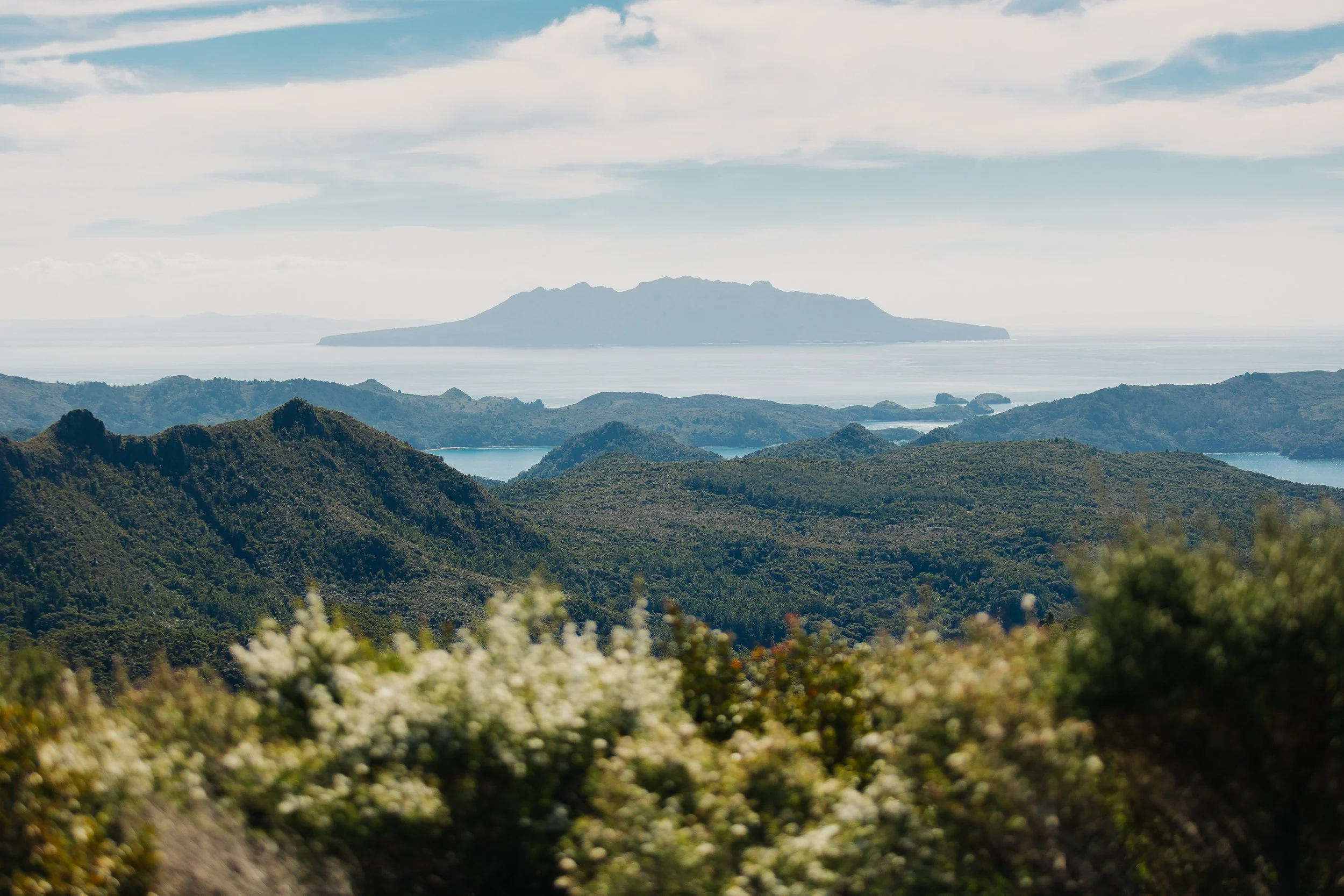
Great Barrier Island
Great Barrier Island
Great Barrier Island
Great Barrier Island
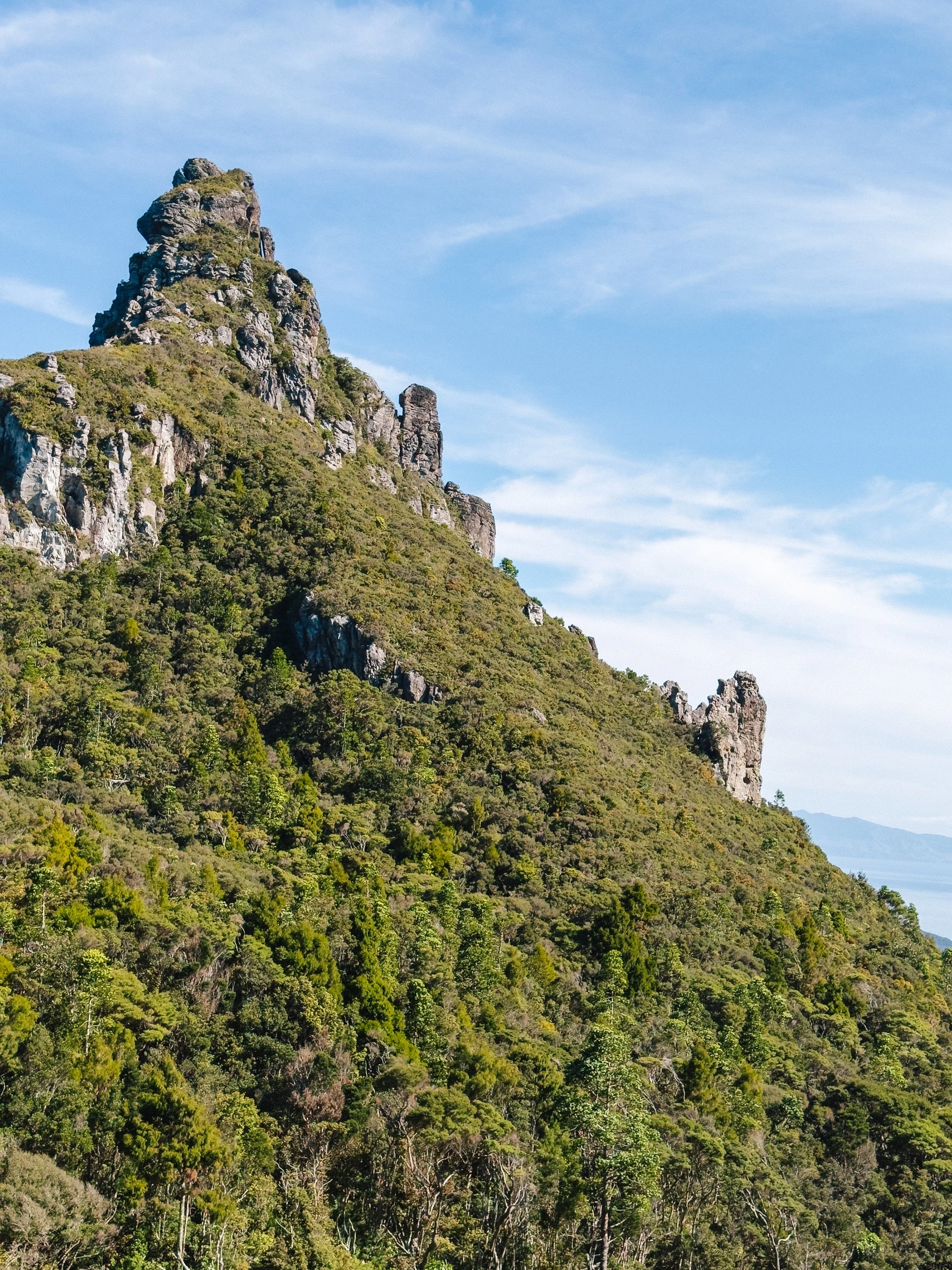
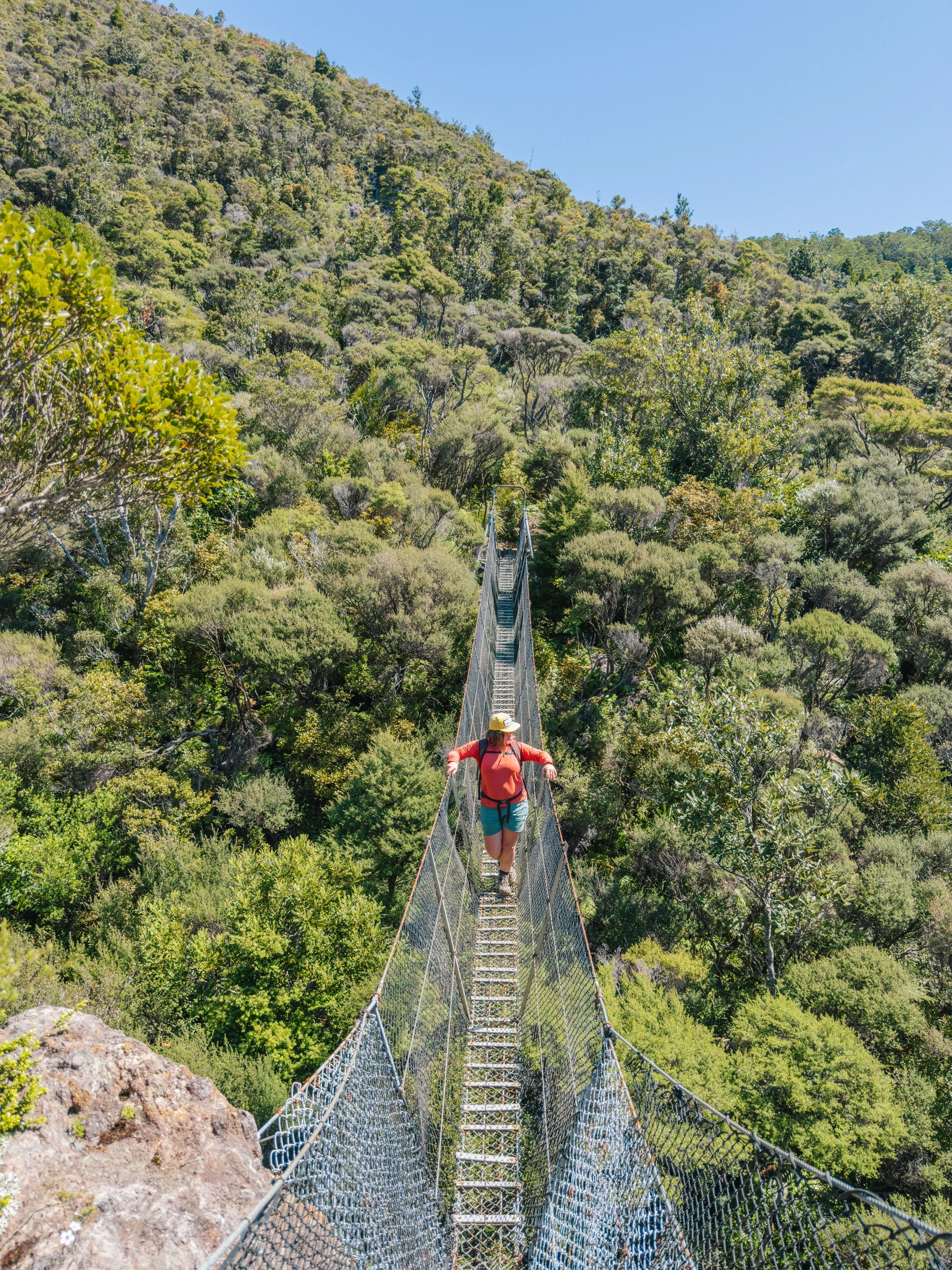
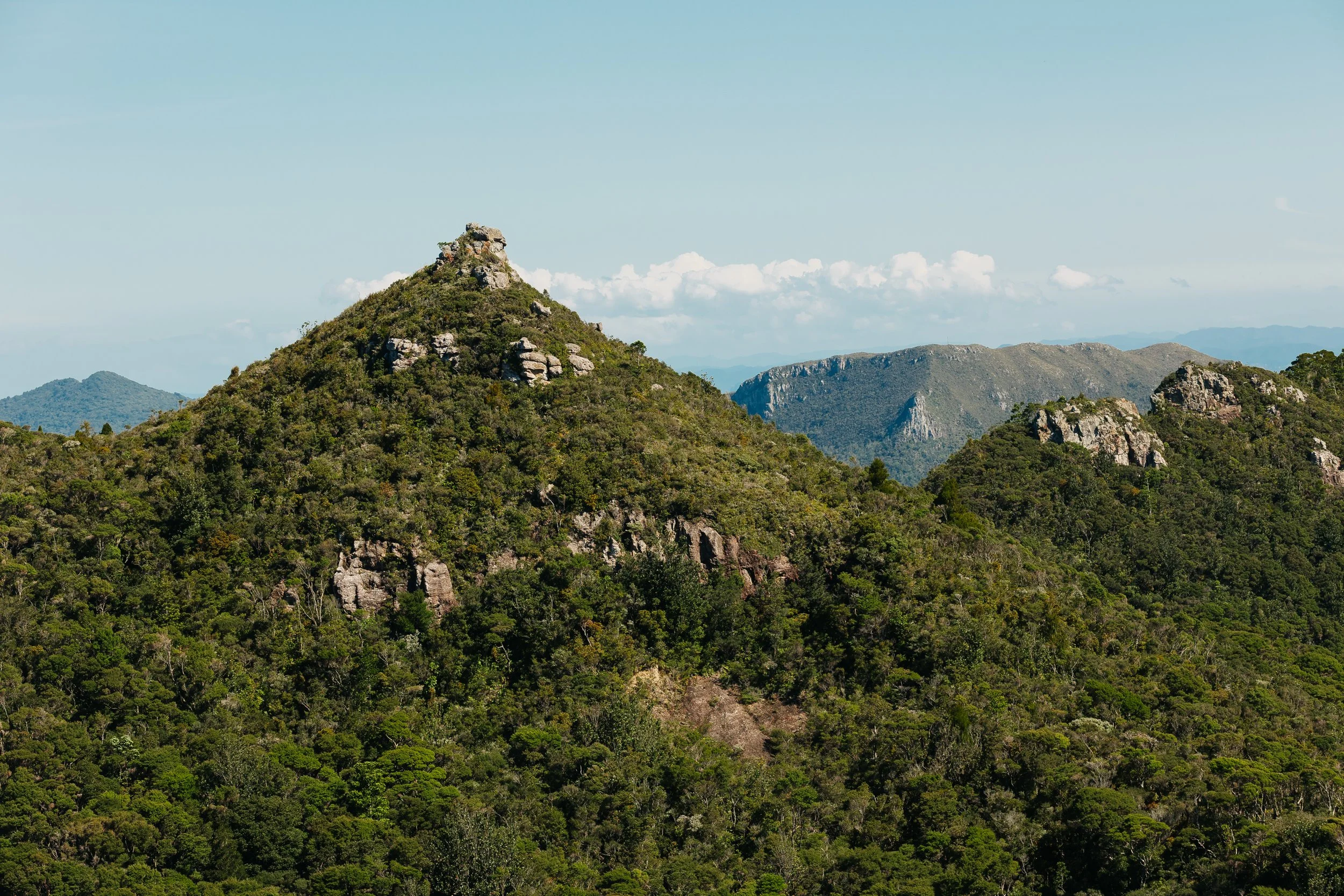
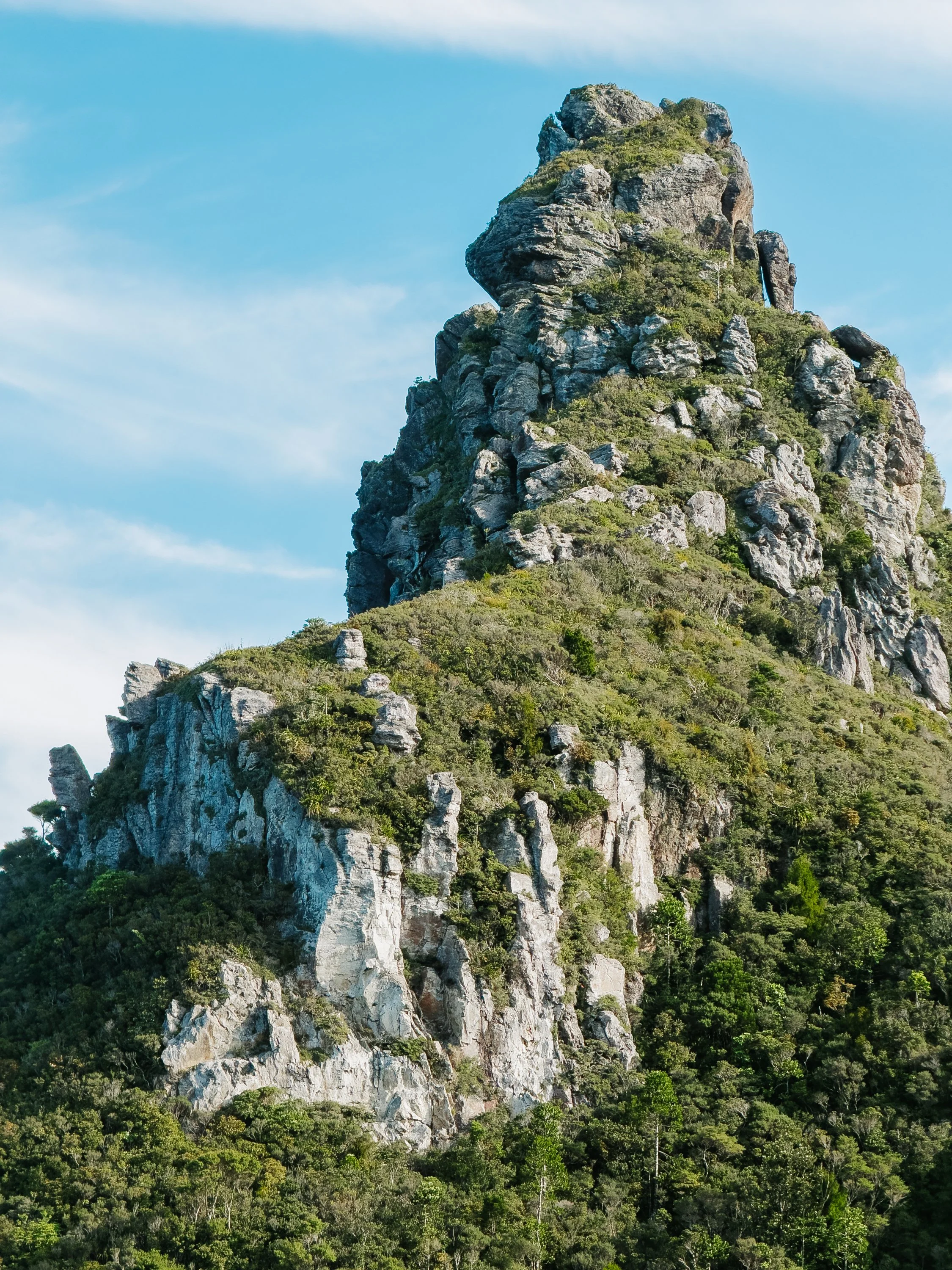
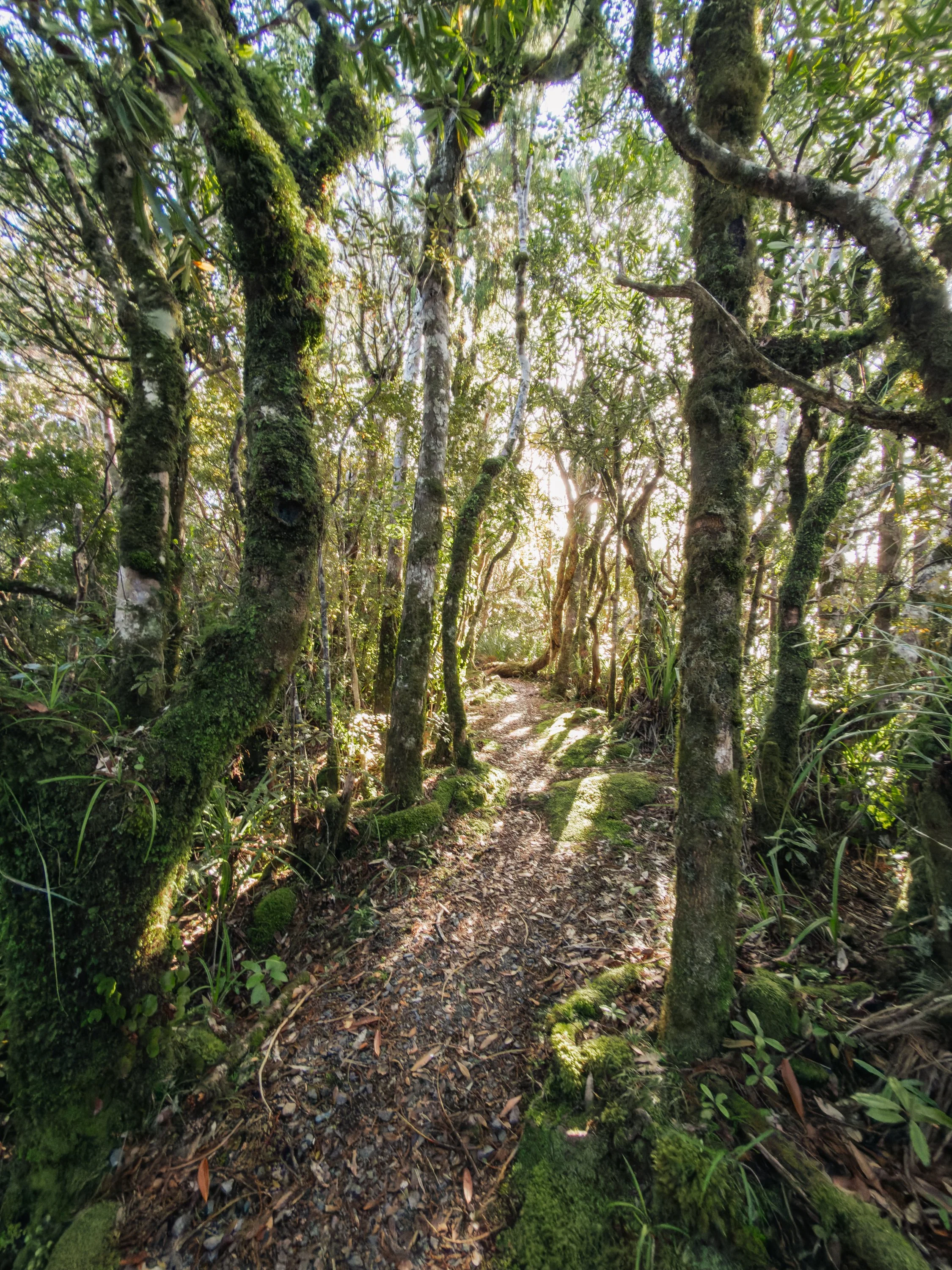
For several hours, the trail climbed steadily through subtropical forest, carrying us across suspension bridges and deeper into the interior of the island. We eventually reached Mt Heale Hut, where we stopped for lunch before continuing toward the summit. The final portion of the ascent became what we would affectionately refer to as the “10,000 stairs.”As the forest began to thin, the Department of Conservation staircase appeared ahead of us, climbing seemingly endlessly through the vegetation toward the ridgeline above. It was an impressively engineered series of steps, and it took us roughly thirty to forty-five minutes of continuous climbing to finally reach the top. With every flight, more of the island revealed itself around us.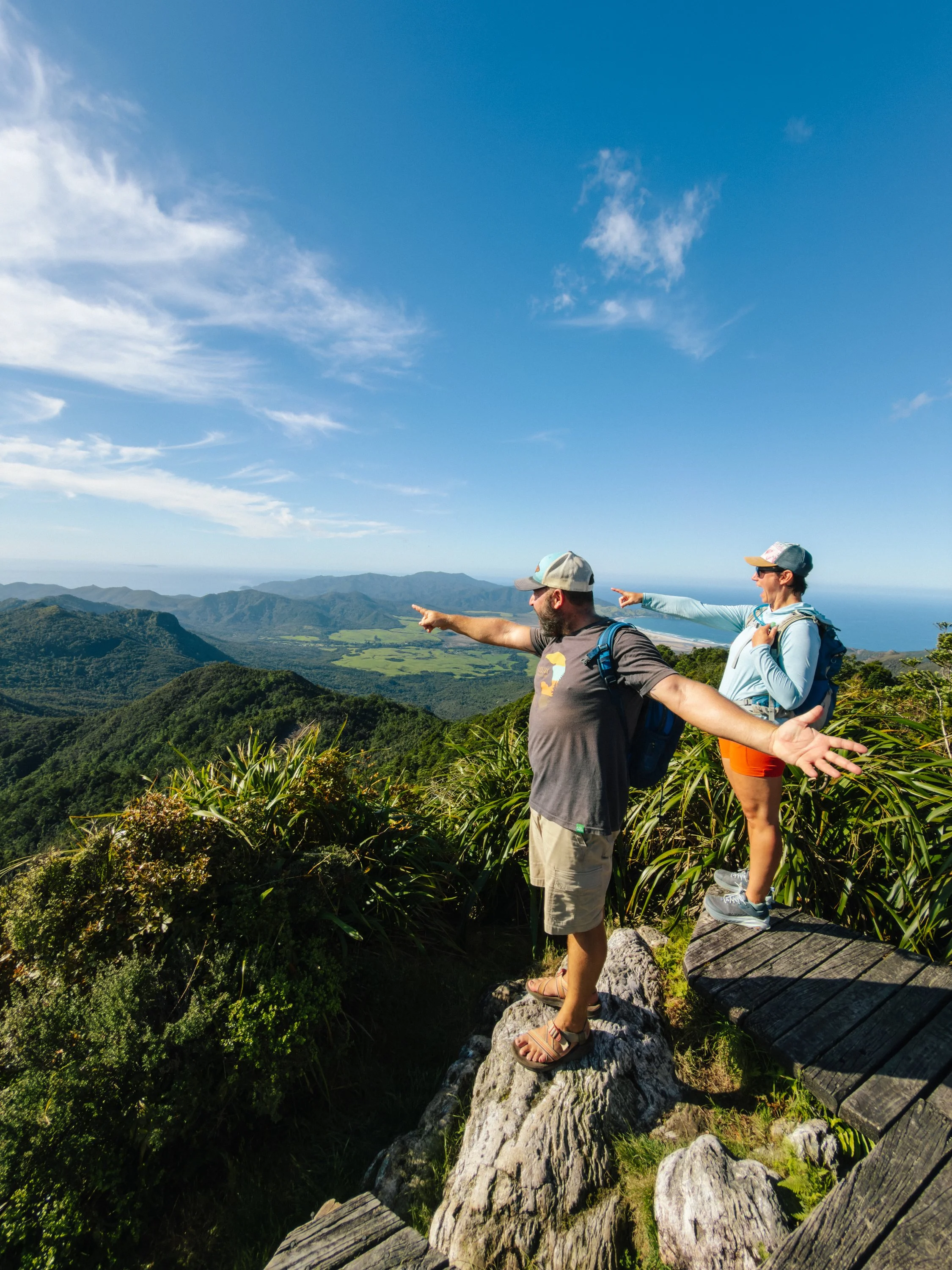
Great Barrier Island
Great Barrier Island
Great Barrier Island
Great Barrier Island
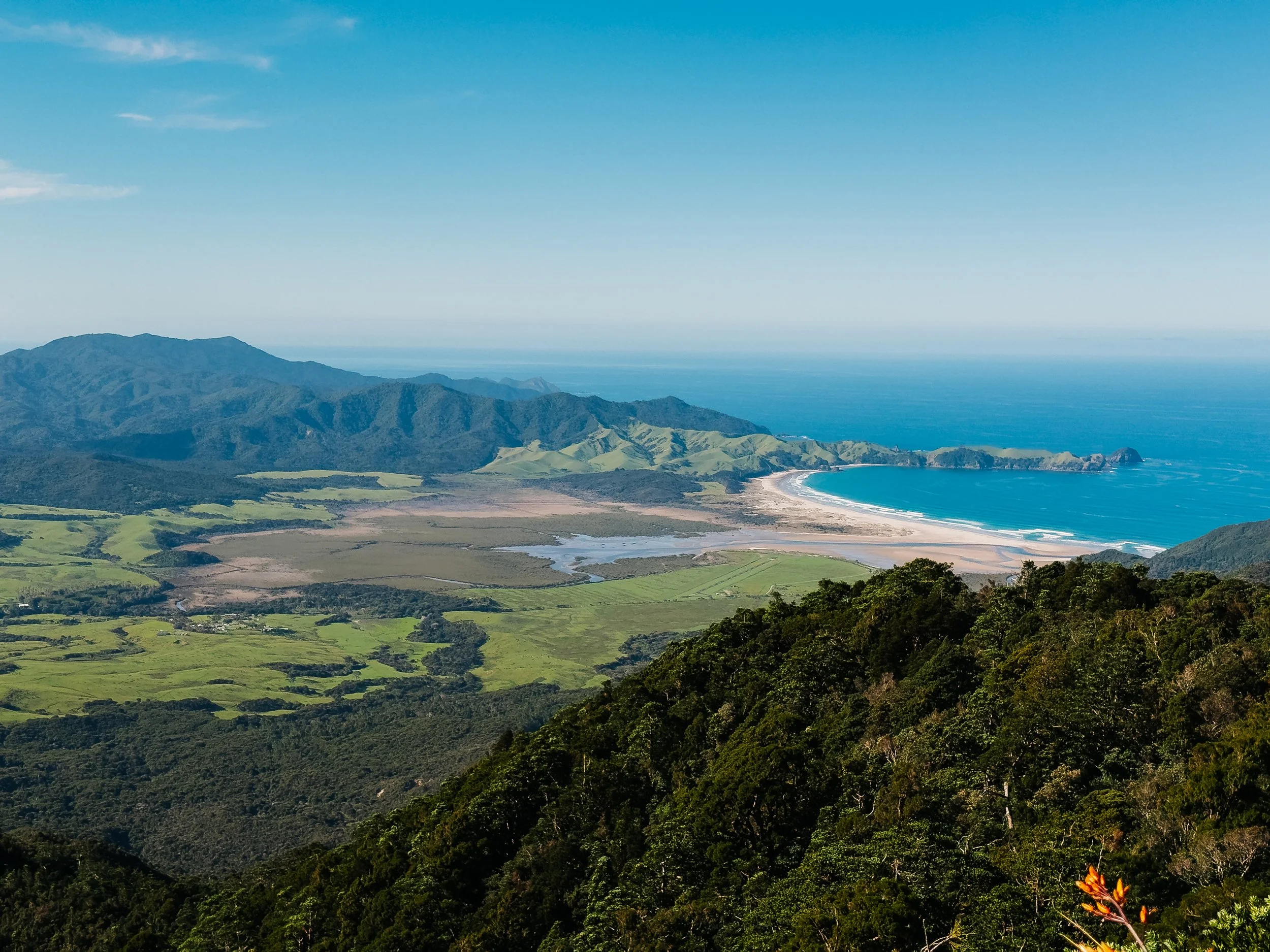
From the summit, virtually the entire island unfolded below. Sheltered western harbors cut deeply into the coastline while the eastern side faced the open Pacific. Long white beaches stretched along the far side of the island, many of them places we had not yet reached. It was the sort of view that immediately showed us how much we were going to miss. There were beaches along the eastern coast we wanted to explore, communities we never reached, and apparently even a brewery and distillery near Claris that remained entirely unexplored by us on this trip.One of the recurring lessons of long-term travel is that spending more time somewhere rarely makes the list shorter. It simply reveals more things to come back for. Beyond lay the Hauraki Gulf and, somewhere farther west, Auckland, where we would soon be turning our bow.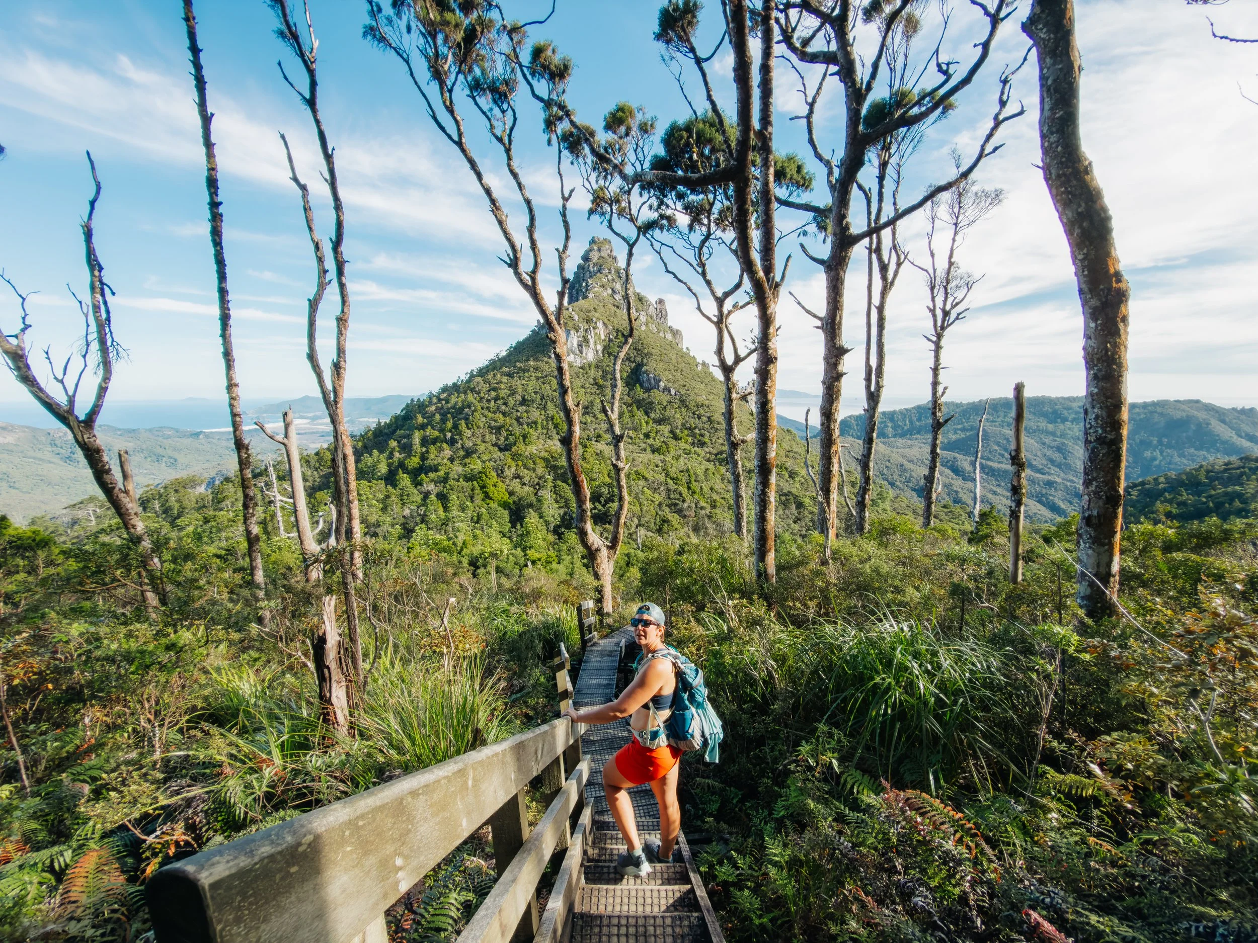
Great Barrier Island
From Wilderness to Wine Country
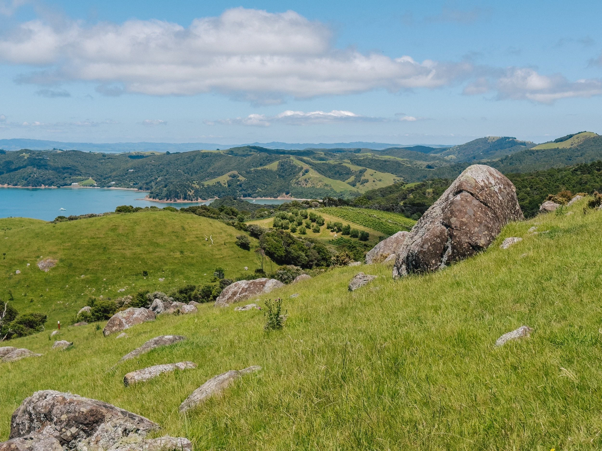
Not far from Great Barrier Island lay an island that could hardly have felt more different. Waiheke Island traded rugged wilderness for rolling vineyards, coastal roads, bustling town centers, sandy beaches, and hillside restaurants overlooking the Hauraki Gulf. The contrast was striking.Within only a short day sail, we had moved from remote forested anchorages to a place where grapevines marched neatly across sunlit hills above the sea and locals and visitors alike came to spend long summer weekends. Yet Waiheke belongs to a much older maritime landscape. Long before ferries and yachts filled the gulf, Māori communities moved through these waters by waka, linking the islands of the Hauraki Gulf with the Coromandel Peninsula and the Tāmaki isthmus. One evocative phrase associated with the region, ngā tai whakarewa kauri (the kauri-bearing tides) recalls the great waka taua carved from kauri that once moved through these waterways. It was a reminder that the Hauraki Gulf had always been a seascape of movement.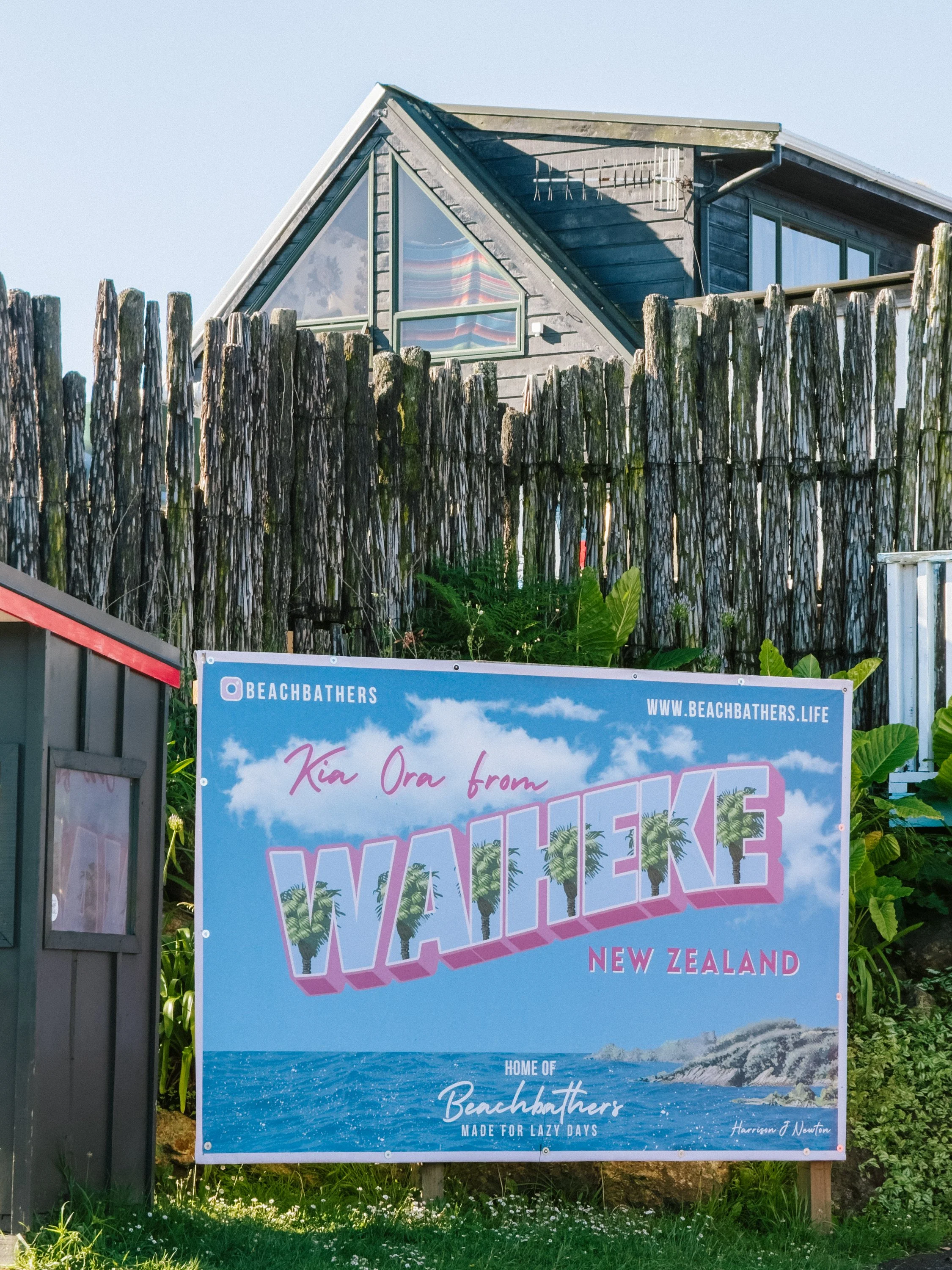
Waiheke Island
Waiheke Island
Waiheke Island
Waiheke Island
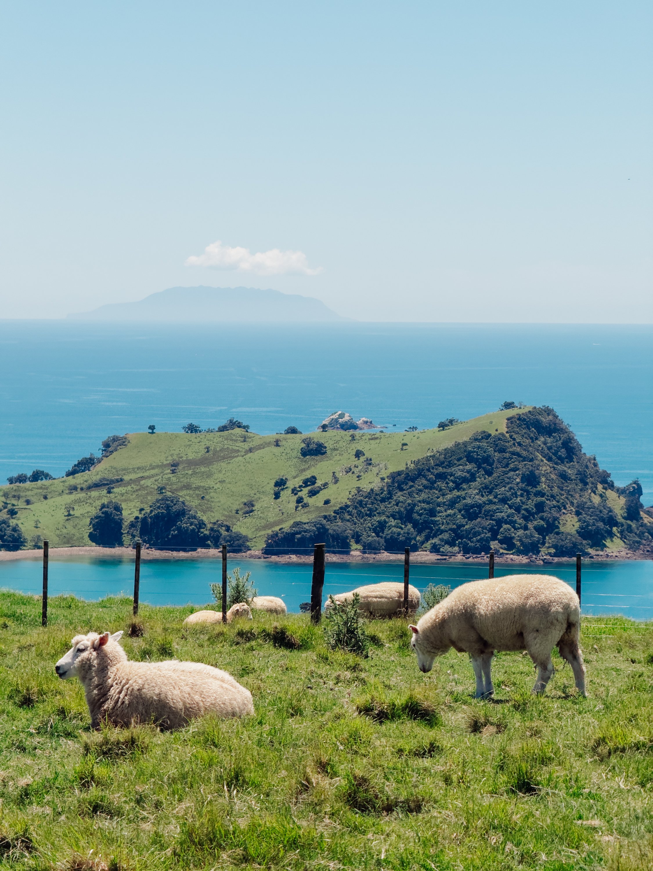
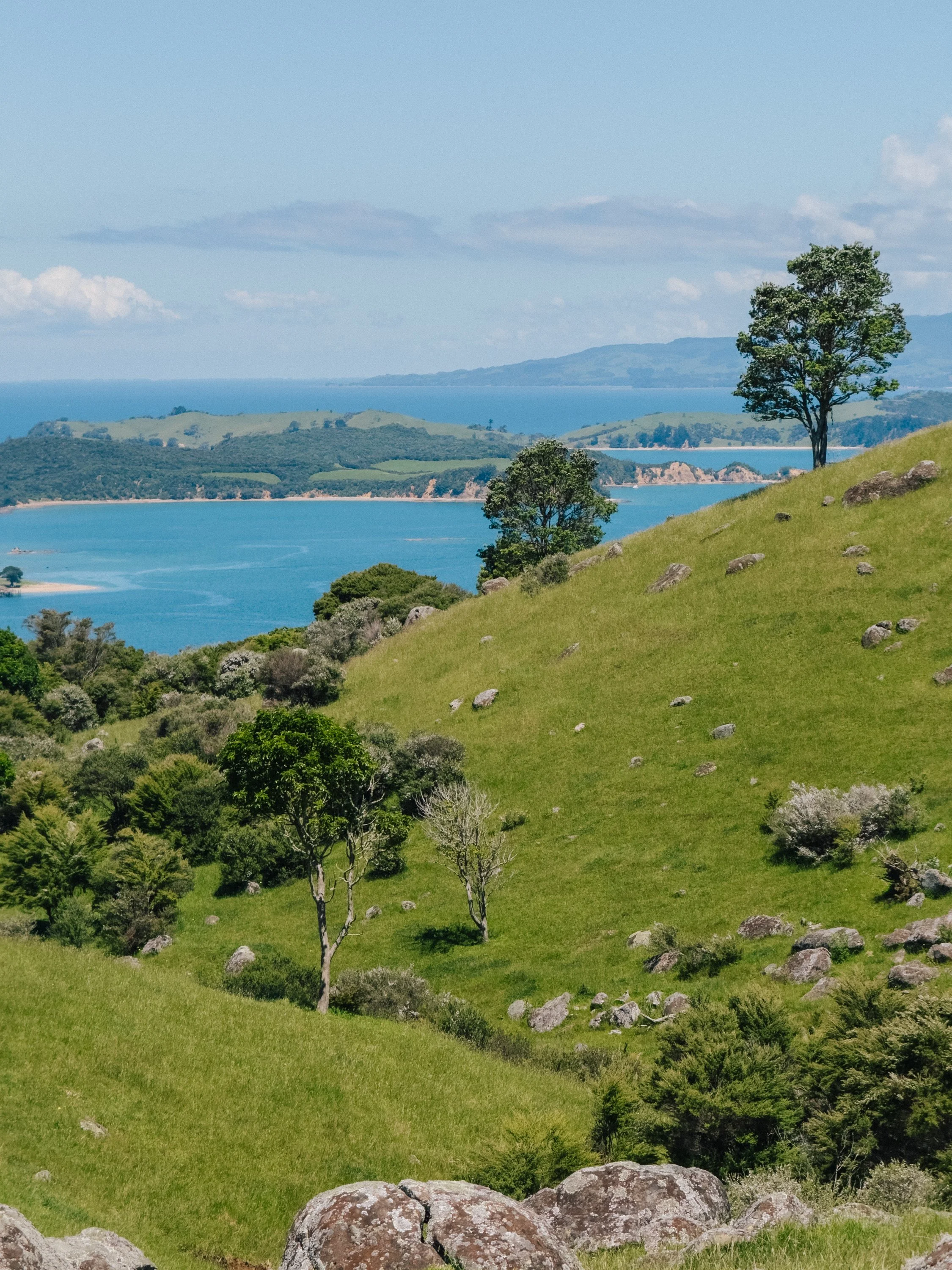
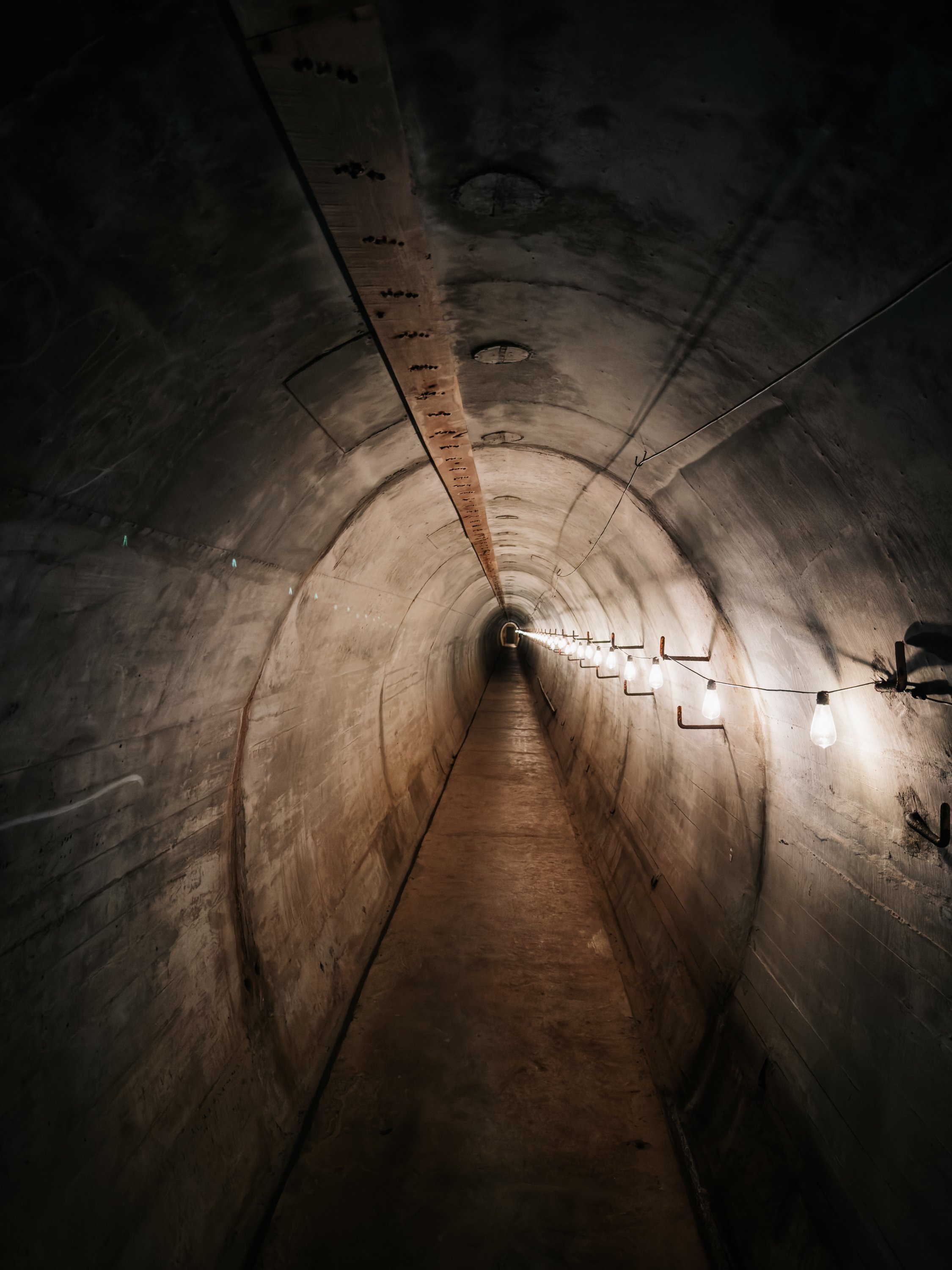
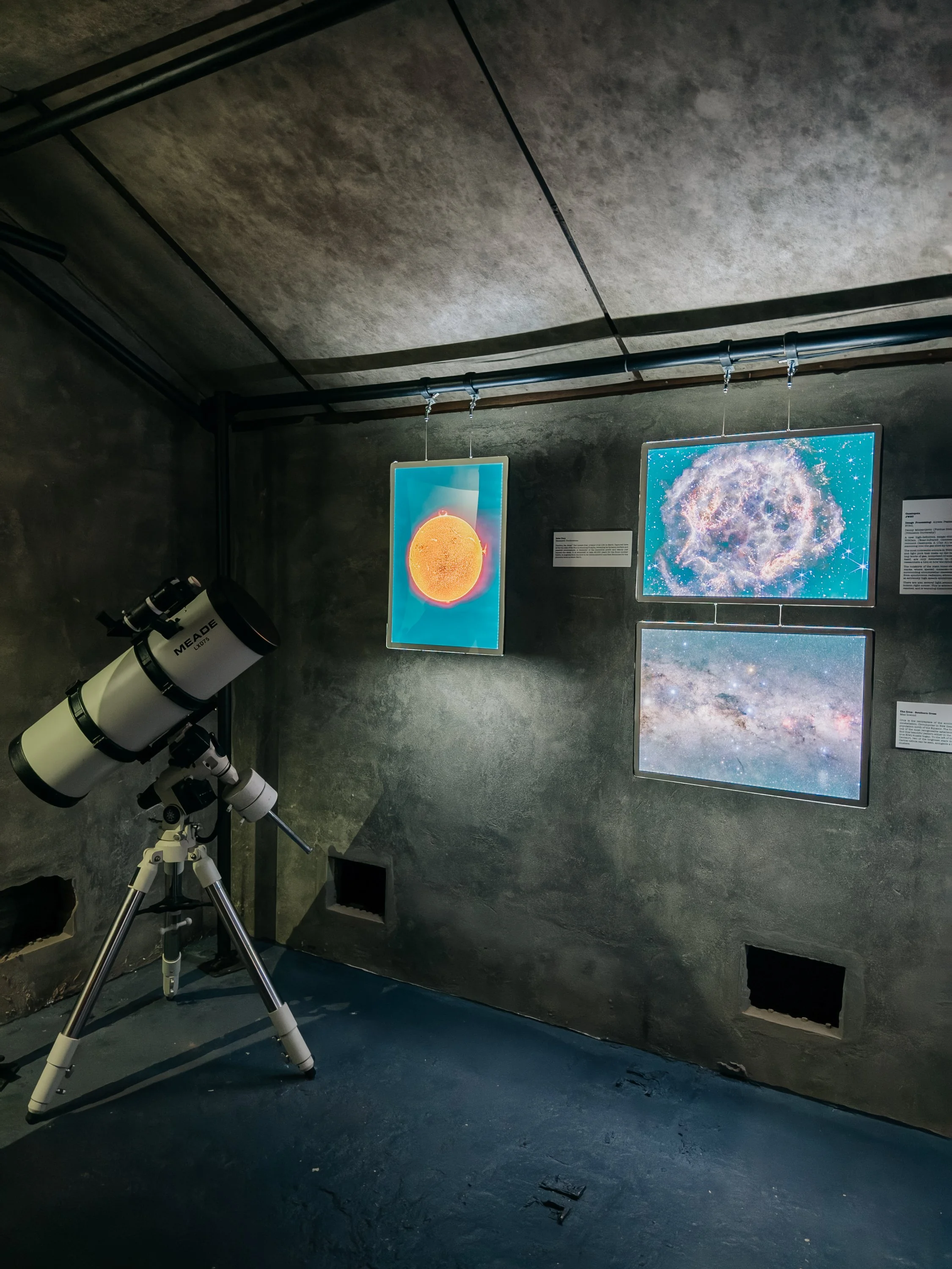
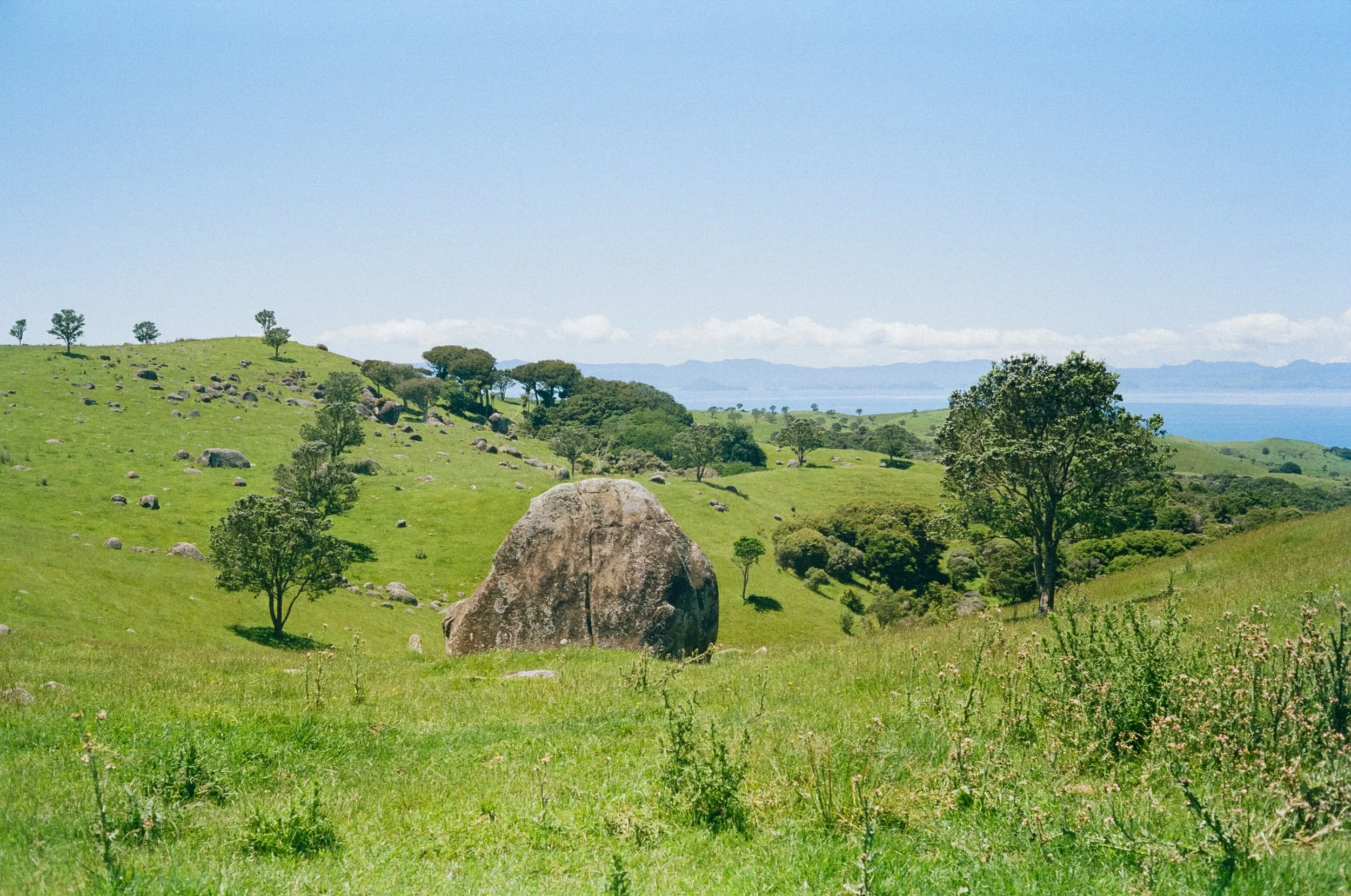
Our first stop was Orapiu Bay on the far eastern side of the island. From there, we anchored and set off on foot toward Stony Batter, a sprawling World War II coastal-defense complex hidden among Waiheke’s rolling hills. The walk itself was absurdly picturesque: green pastures folding over one another, sheep grazing beneath the sun, and great rocky outcrops scattered across the landscape. Stony Batter felt entirely different.The complex included gun emplacements, an engine room, operations and plotting rooms, and a command bunker, much of it buried beneath the hills. A small museum marked the entrance, where an eccentric archaeologist offered guided tours of the tunnels every hour. Descending underground felt strange and slightly eerie. The narrow concrete passageways carried a weight that stood in sharp contrast to the pastoral landscape above. Wandering through rooms once built for wartime defense, hidden beneath hills now covered in sheep and wild grass, felt almost surreal.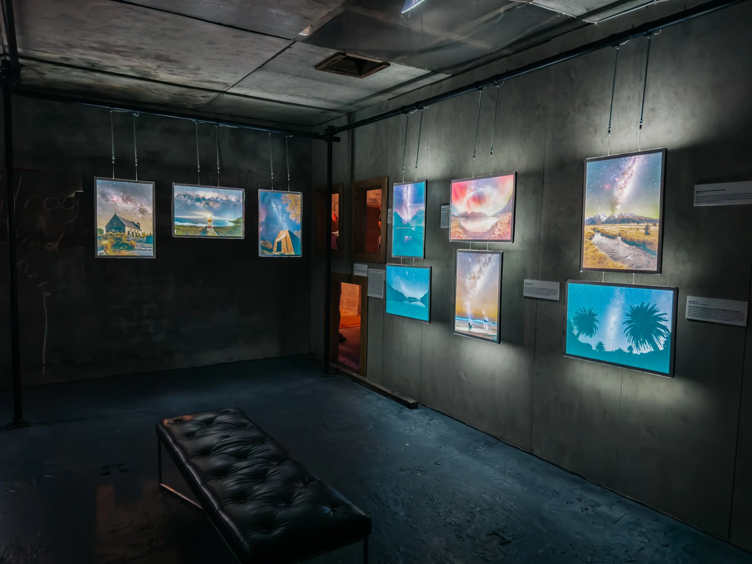
Waiheke Island
Waiheke Island
Waiheke Island
Waiheke Island
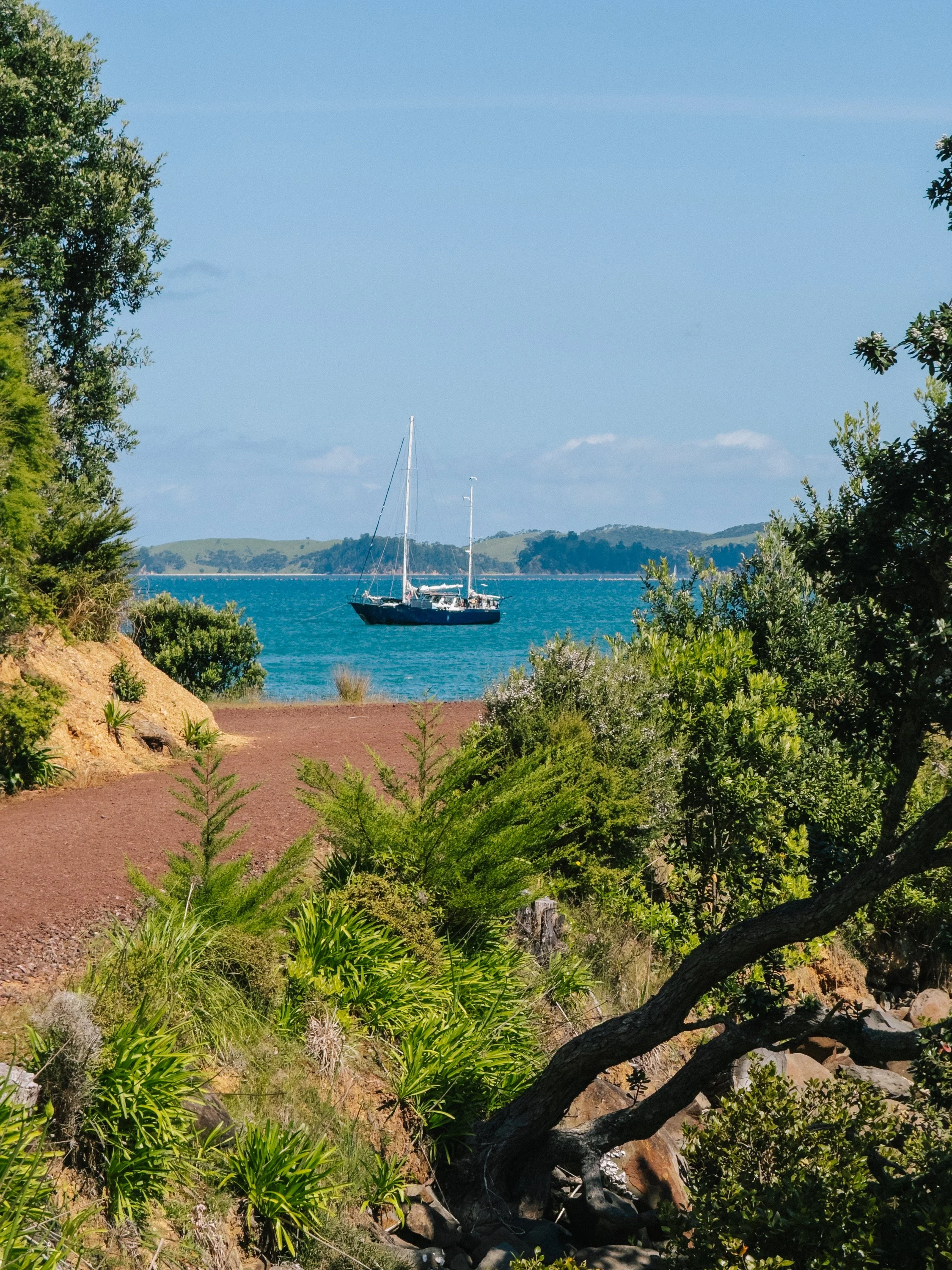
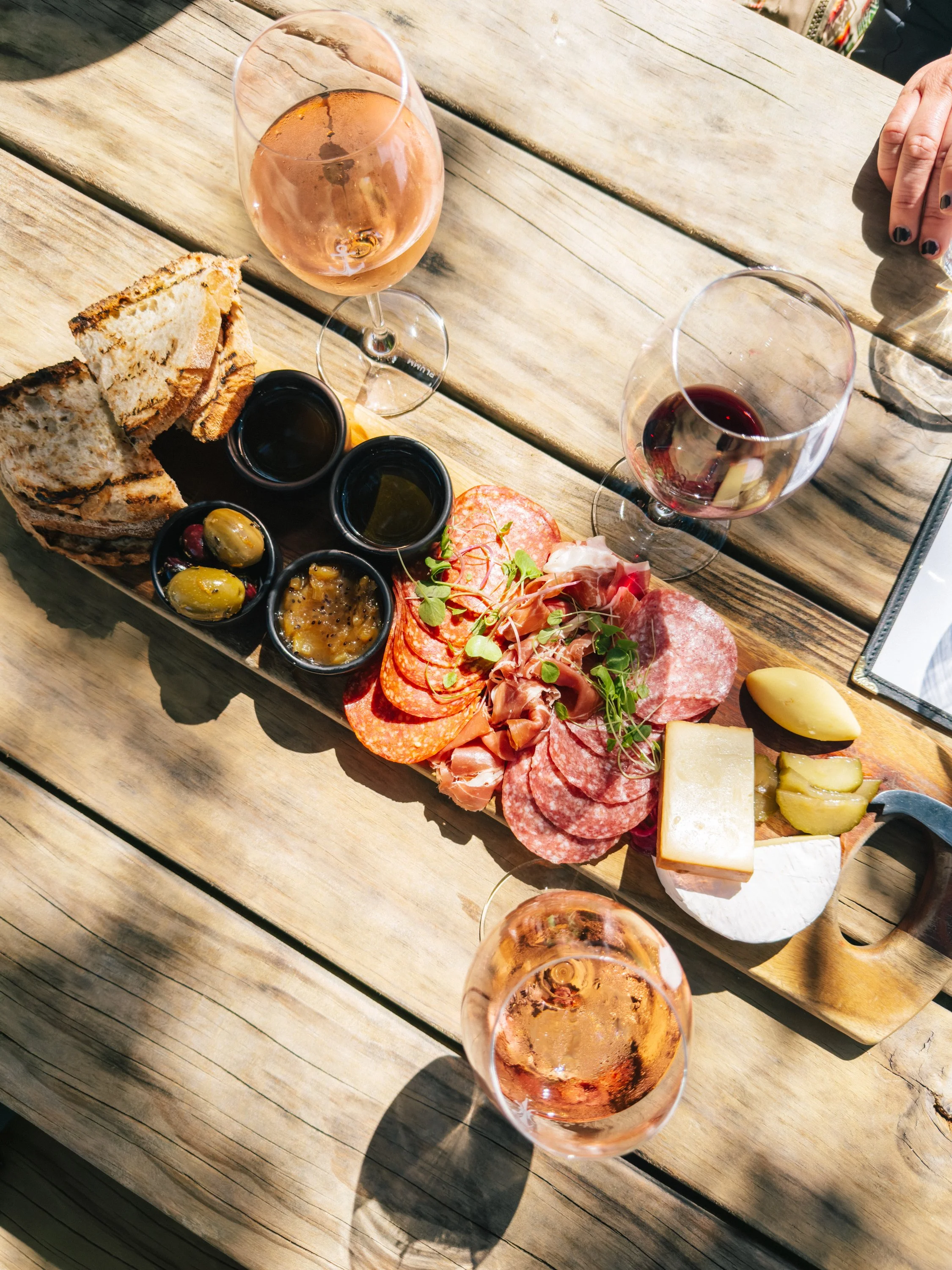
After resurfacing, we continued on to Man O’ War Vineyards, set directly along the waterfront. Few winery settings could have felt more appropriate for sailors: rows of vines climbing the hills behind us, the beach just steps away, and the possibility of sipping a glass of wine with your toes quite literally in the sand.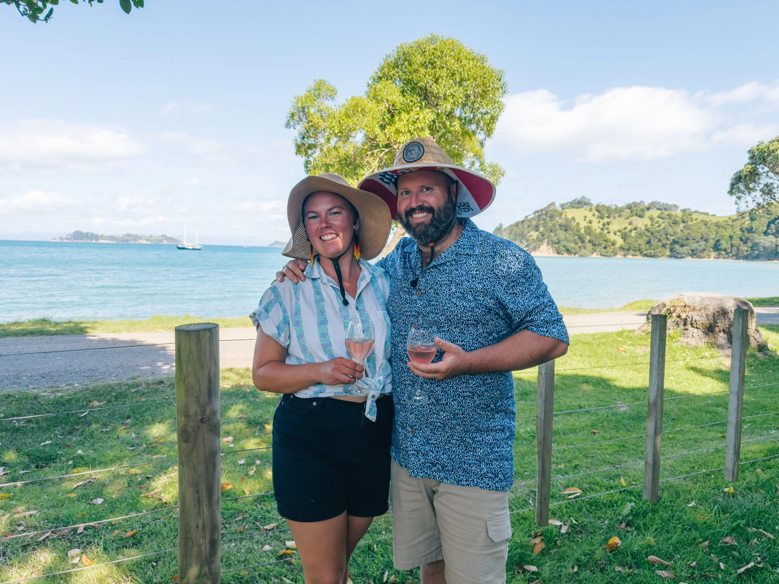
Waiheke Island
Waiheke Island
Waiheke Island
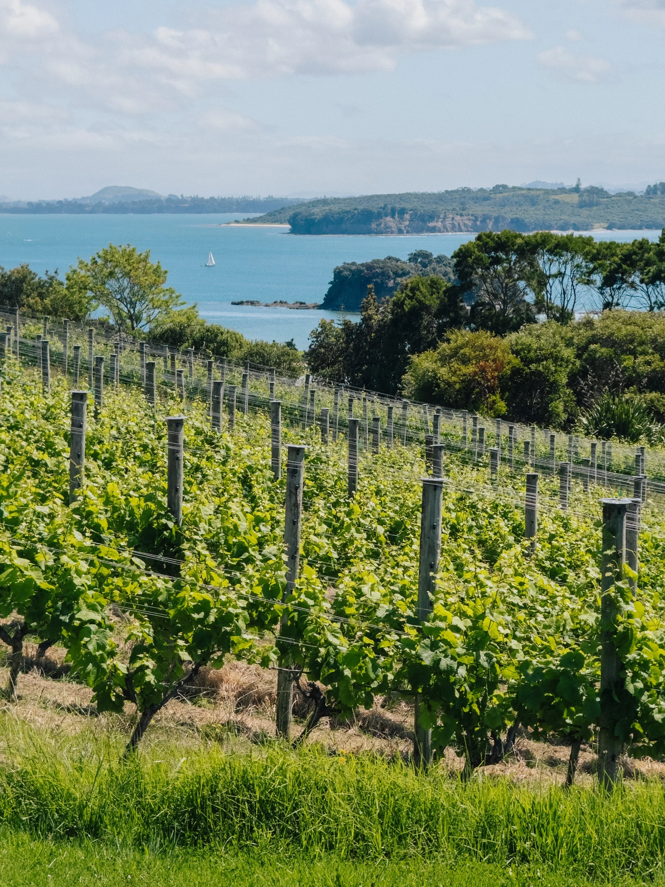
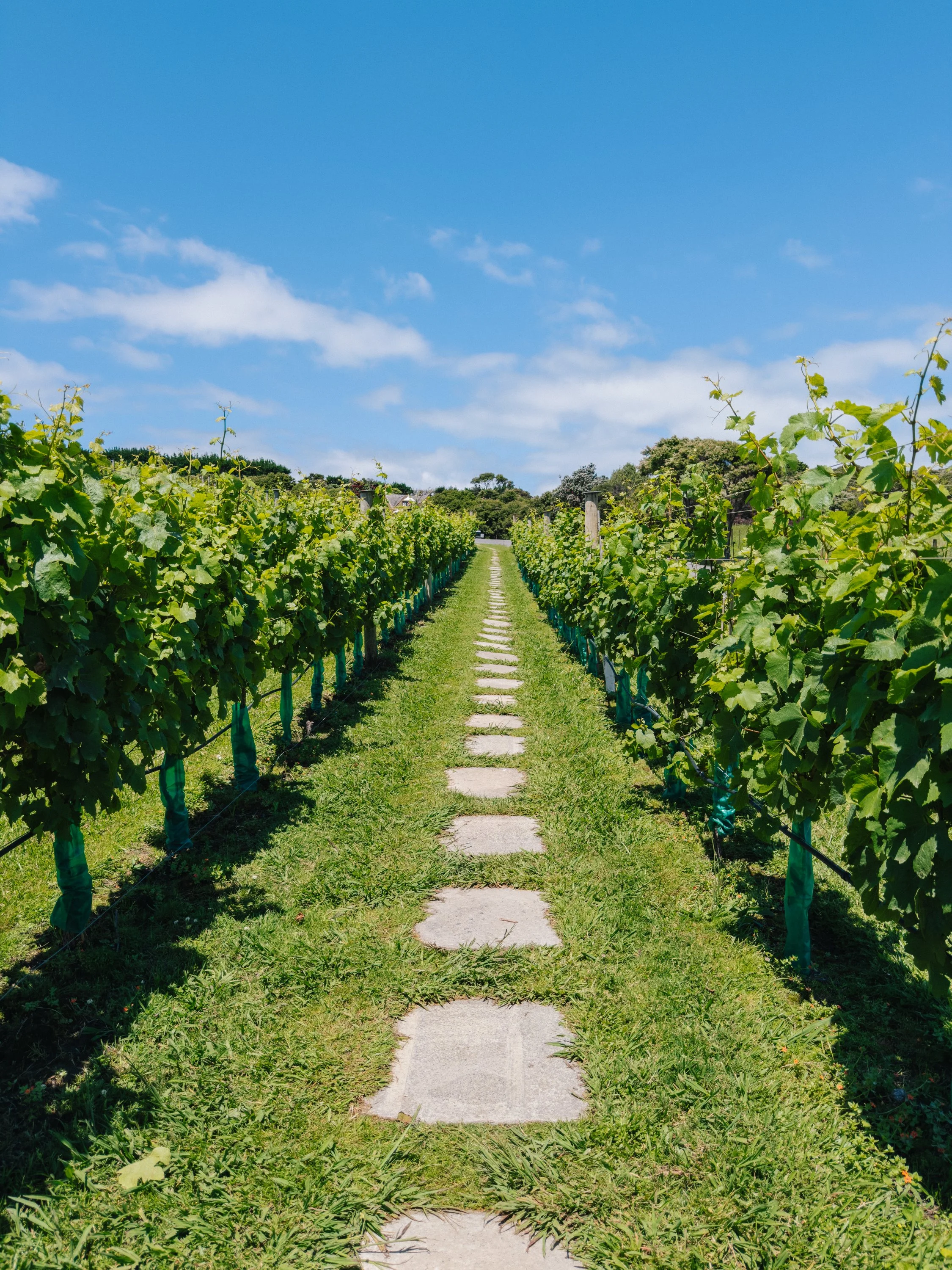
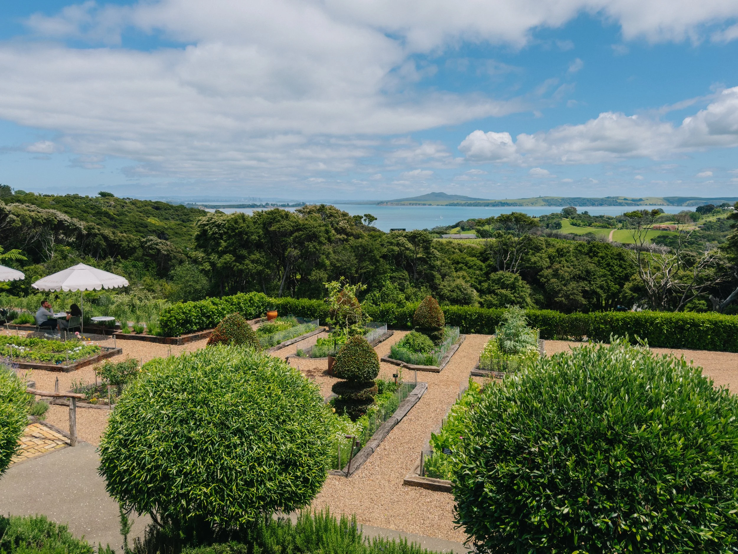
The following day, we sailed toward the western side of Waiheke, hoping to explore more of its towns and vineyards. We anchored in Te Wharau Bay, took the raft into Waiheke Marina, and began walking north along the peninsula. Before long, a taxi driver pulled over and offered us a lift. When we told him we were hoping to visit a winery, he barely hesitated before setting course for Mudbrick Vineyard & Restaurant. His recommendation quickly made sense. Mudbrick felt effortlessly romantic, with manicured gardens, multiple restaurants, terraced vines, and sweeping views across the gulf toward the Auckland skyline. We spent the afternoon sipping rosé and feeling, for a moment, as though we had somehow sailed ourselves into the European countryside.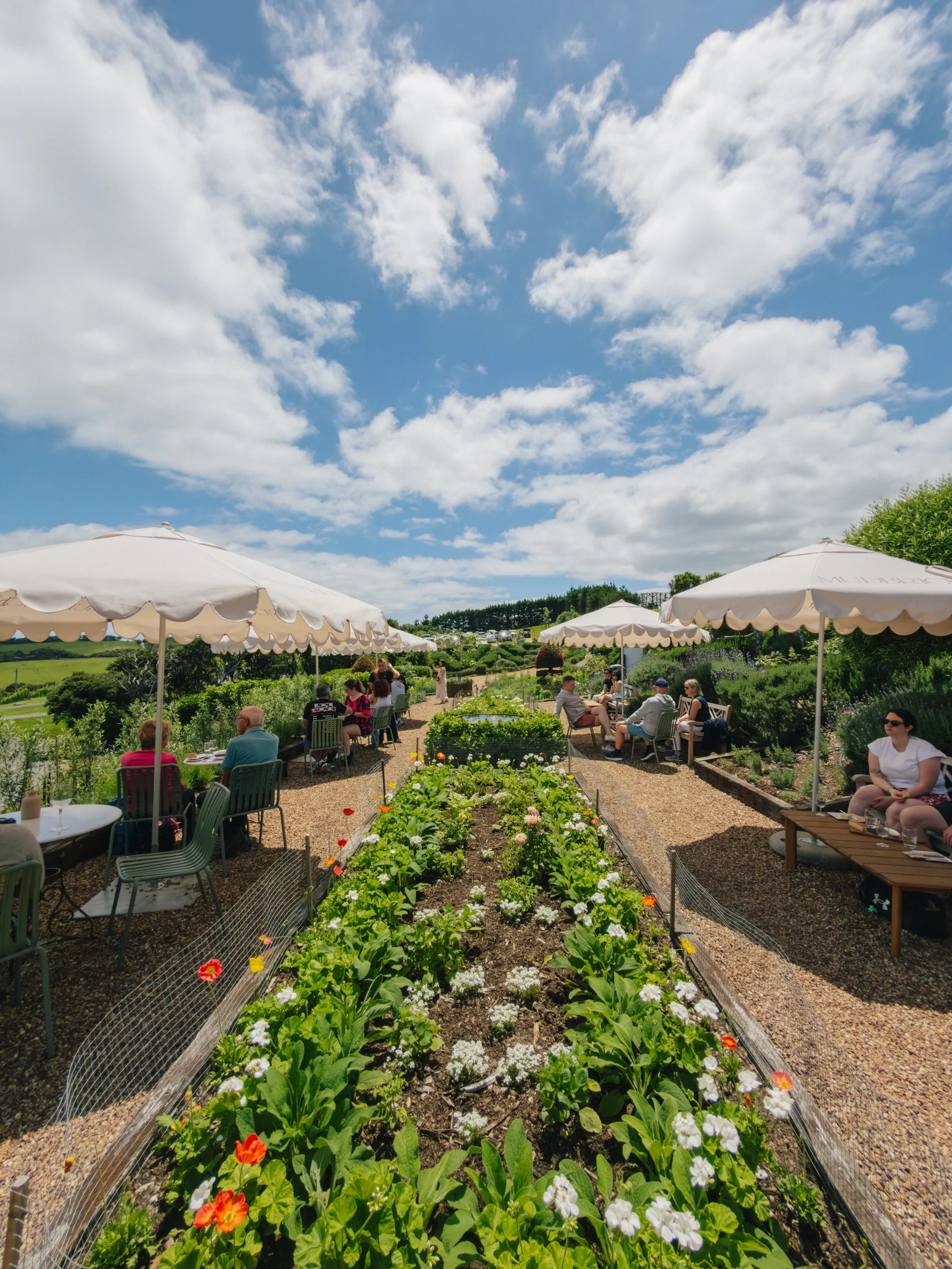
Waiheke Island
Waiheke Island
Waiheke Island
Waiheke Island
From there, we walked down to Cable Bay Vineyards, which had a distinctly different atmosphere: sleeker, more contemporary, and slightly more industrial, but still set against an expansive view of the ocean. Eventually, we made our way into Oneroa, which felt every bit the summer holiday town. Cafés, boutiques, beaches, and vacationers filled the main street, and the whole place carried an easygoing coastal energy that reminded us strongly of Southern California. It was easy to understand why Waiheke had become such a popular weekend escape for Aucklanders. With regular ferries connecting the island to the city, it offered vineyards, beaches, and a slower pace of life without ever feeling far away.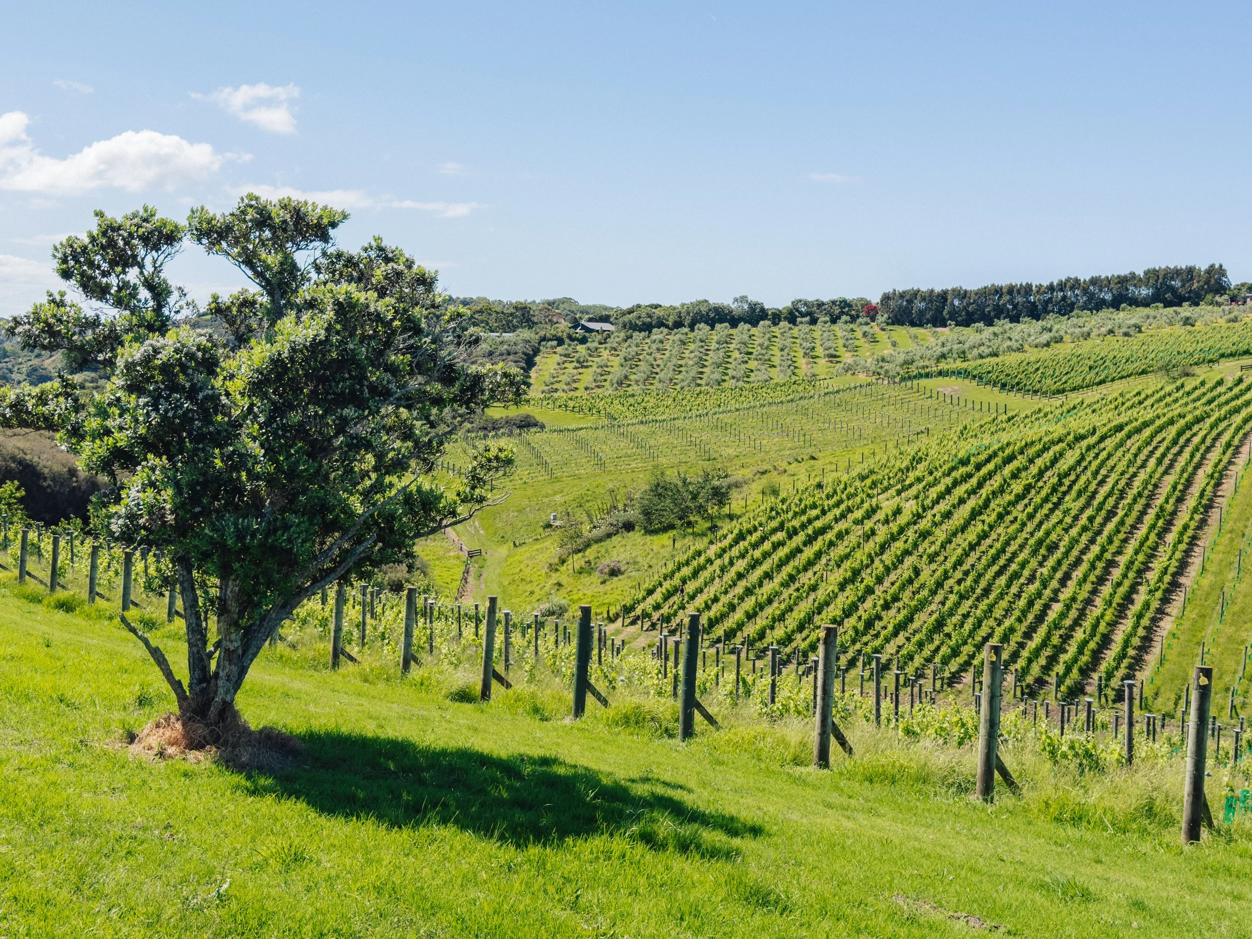
Waiheke Island
Sailing into the City of Sails: Auckland (Tāmaki Makaurau)
After a couple of weeks spent moving between islands and smaller coastal communities, sailing toward New Zealand's largest city felt almost surreal. Buildings replaced ridgelines along the horizon and ferries crisscrossed the water around us. The city occupies the narrow Tāmaki isthmus between the Waitematā and Manukau harbors, a geography that has shaped maritime movement here for centuries. Māori once hauled waka across portage routes between the two coasts, effectively linking the Pacific-facing Waitematā with the Tasman-facing Manukau. Auckland would later grow around the same geographical advantage. The Waitematā offered deep navigable water and sheltered anchorage, helping make it an obvious center of settlement and trade. Much of the waterfront we see today is itself human-made, expanded through more than a century of harbor reclamation.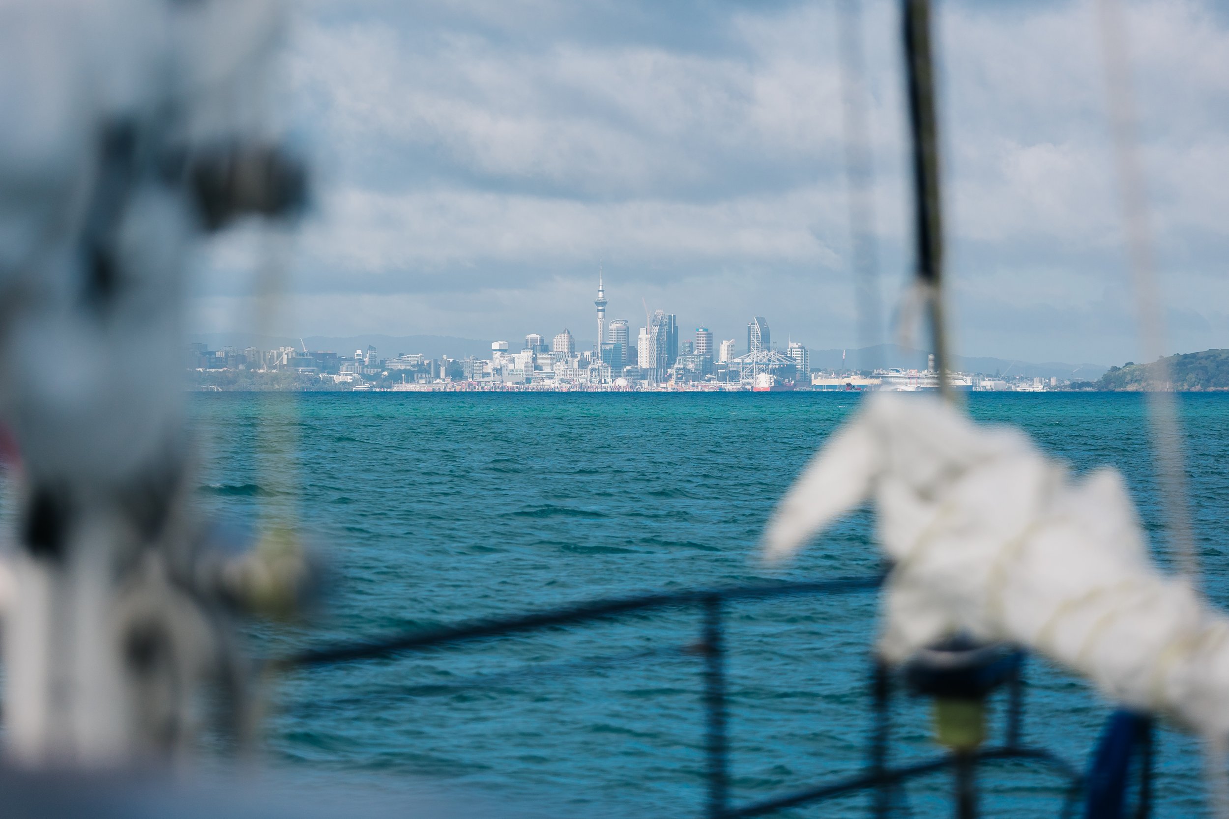
Auckland
Arriving at Viaduct Harbour brought us into the contemporary version of that maritime tradition. The Viaduct began as a working harbor but became internationally associated with sailing during Auckland's America's Cup era. Today, sleek racing yachts, superyachts, ferries, fishing boats, and cruising vessels all occupy the same waterfront. Bringing Arcturus into the heart of it felt appropriate. We were also lucky enough to arrive just before the marina's summer rates went into effect on December 1, so we opted to stay in the heart of downtown rather than at Westhaven Marina, where many cruising boats typically berth. Being in the Viaduct put us within easy walking distance of central Auckland and directly across from the New Zealand Maritime Museum, which became one of the highlights of our visit. It was the sort of museum easily capable of absorbing an entire afternoon, and our admission was even valid for two days.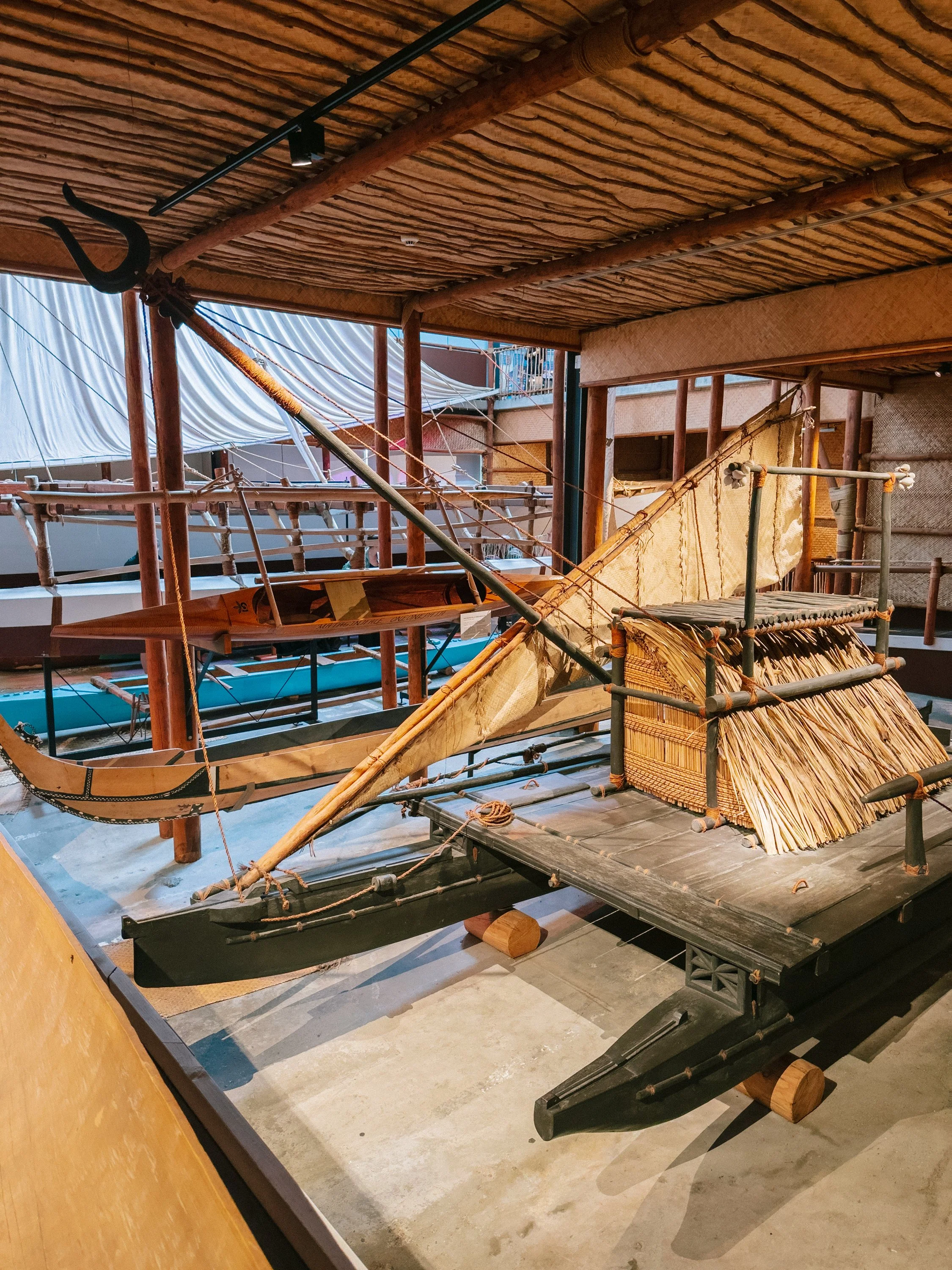
New Zealand Maritime Museum
Hōkūleʻa
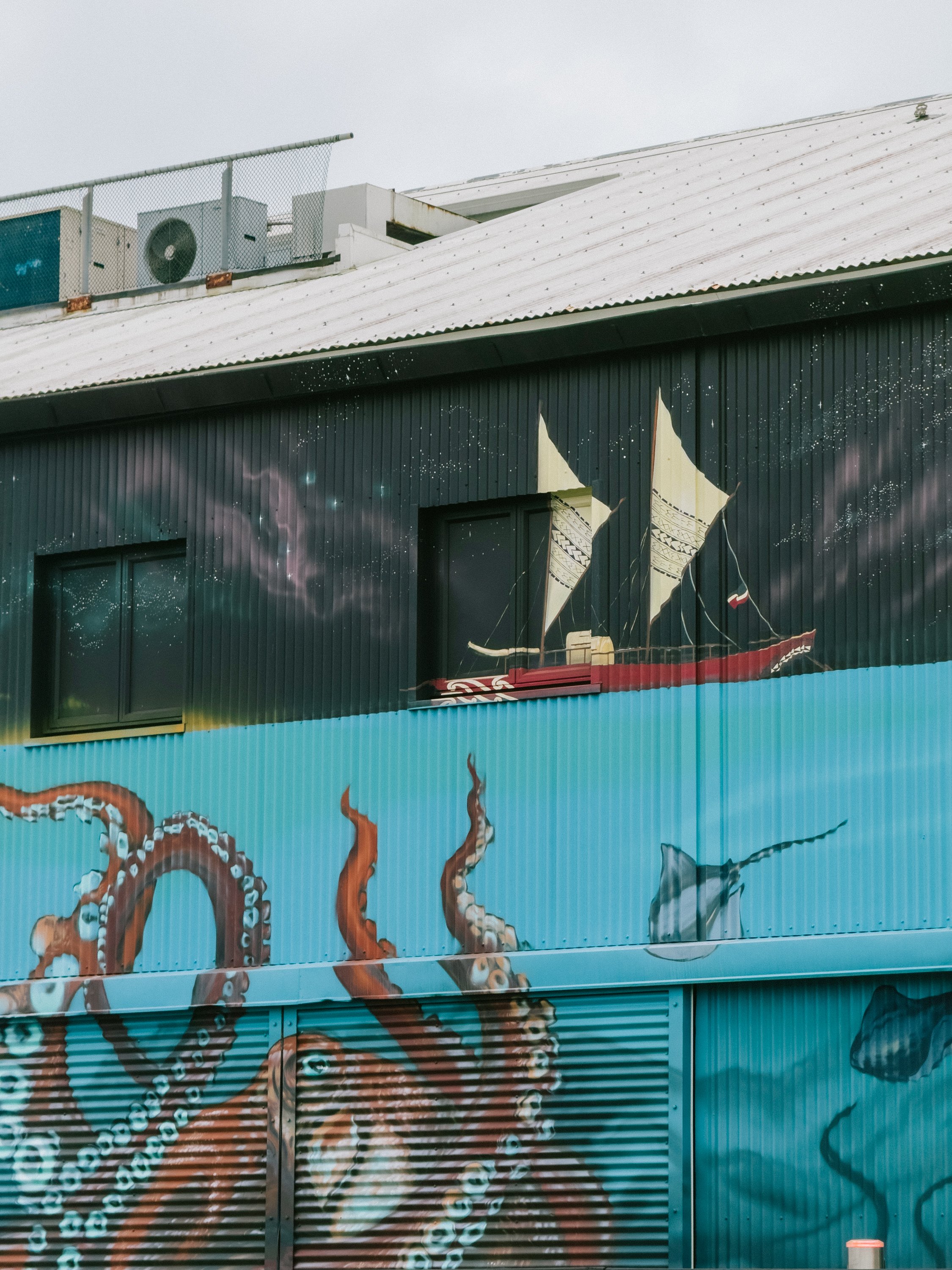
New Zealand Maritime Museum
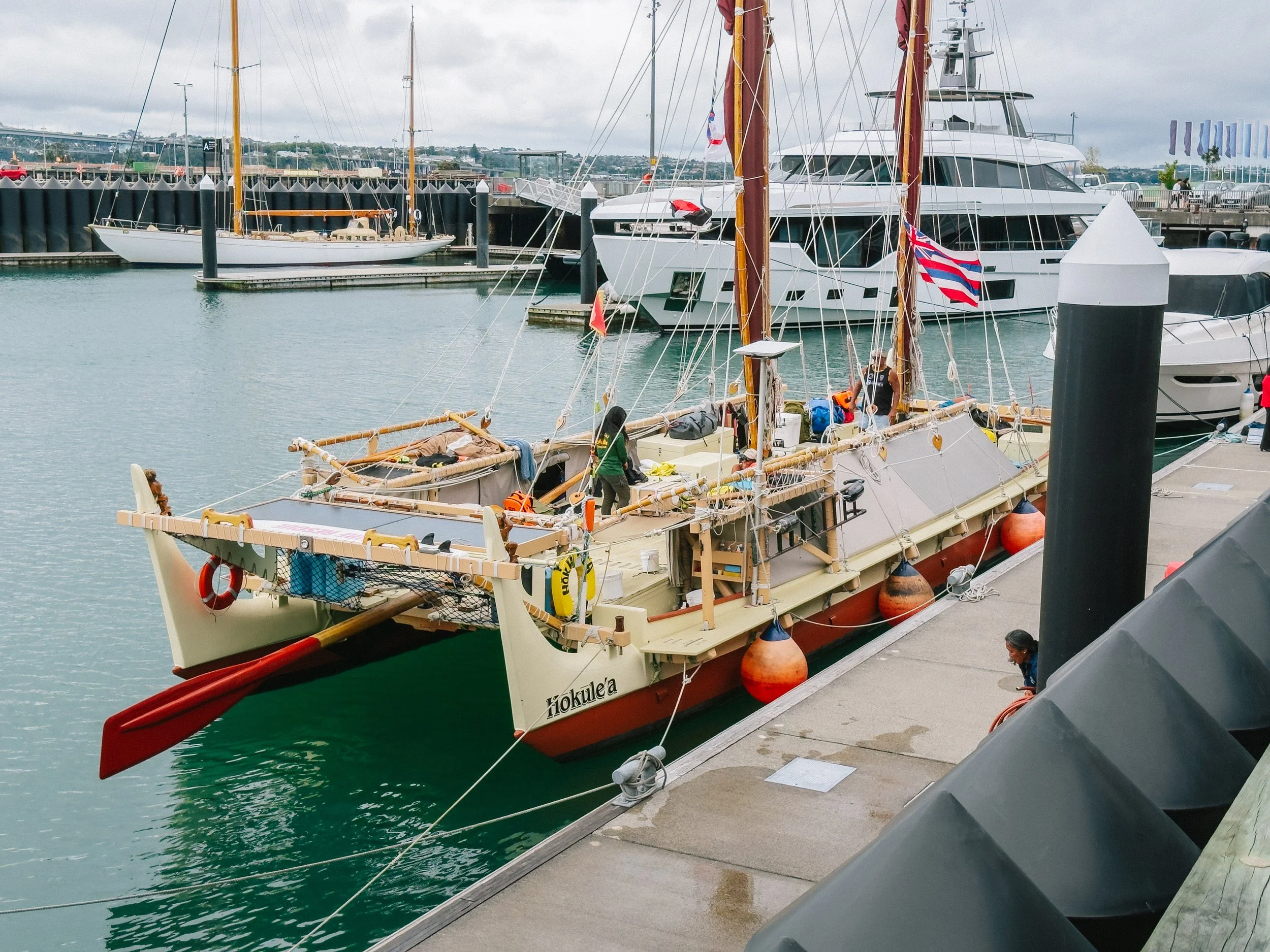
Hōkūleʻa
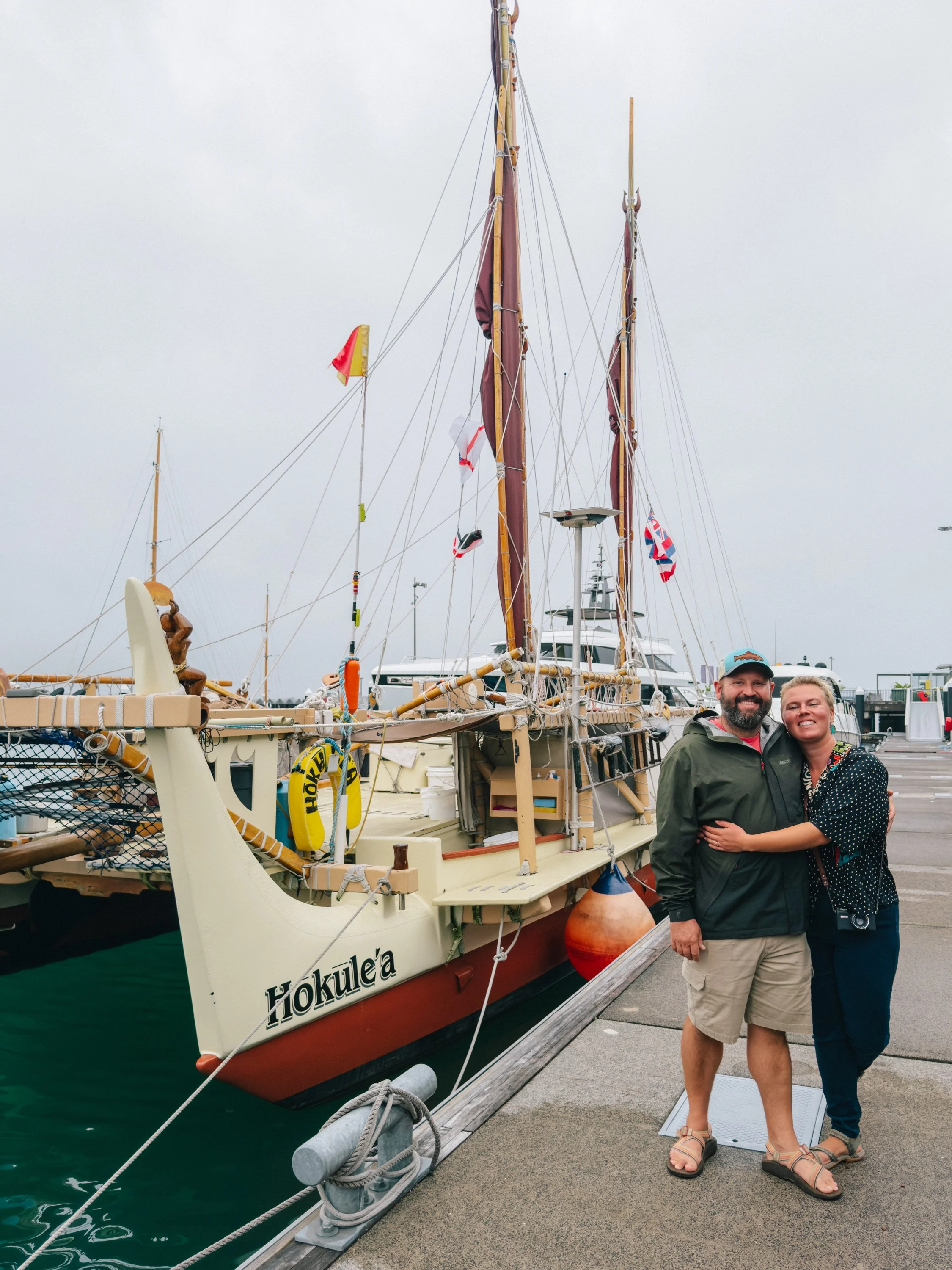
Our arrival also happened to coincide with that of the Polynesian voyaging canoes Hōkūleʻa and Hikianalia. We had been following their voyage across the Pacific with particular interest because Hōkūleʻa is the Hawaiian name for Arcturus, the same star our own boat is named after, and their current voyage had begun in Juneau, Alaska, just as ours had. After following their progress from afar, there was something unexpectedly momentous about finally crossing paths with the two vessels on the opposite side of the Pacific.Behind the museum stood a building shaped uncannily like a cruise ship, its decks serving as storefronts, apartments, and parking garages rather than cabins and promenades. Several days into our stay, we discovered that one of Louie's college friends from Alaska actually lived inside the "cruise ship," which we found especially amusing given how deeply the cruise industry is woven into life back in Alaska. We went with her to Mount Eden, one of the many volcanic craters around Auckland, where we could get a great view of the surrounding city.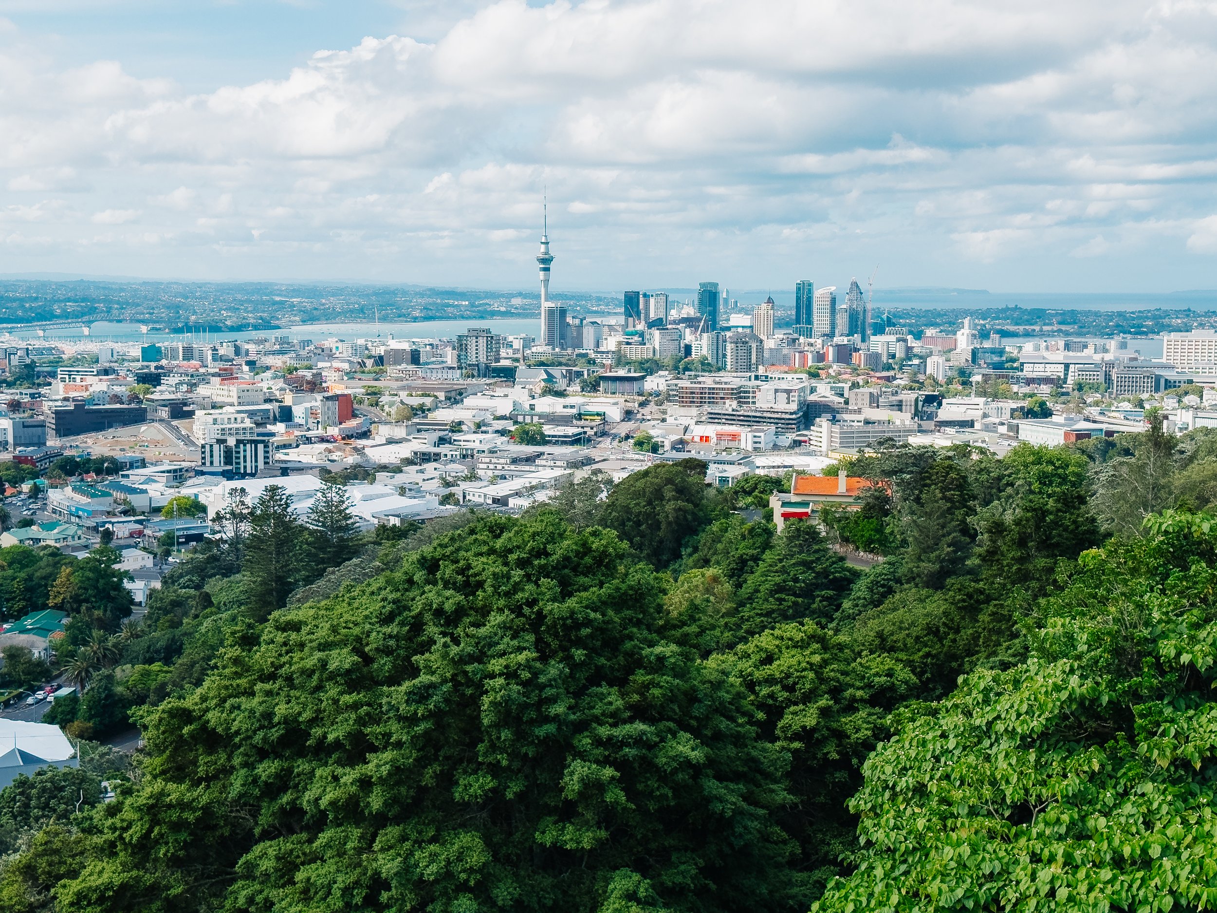
Auckland
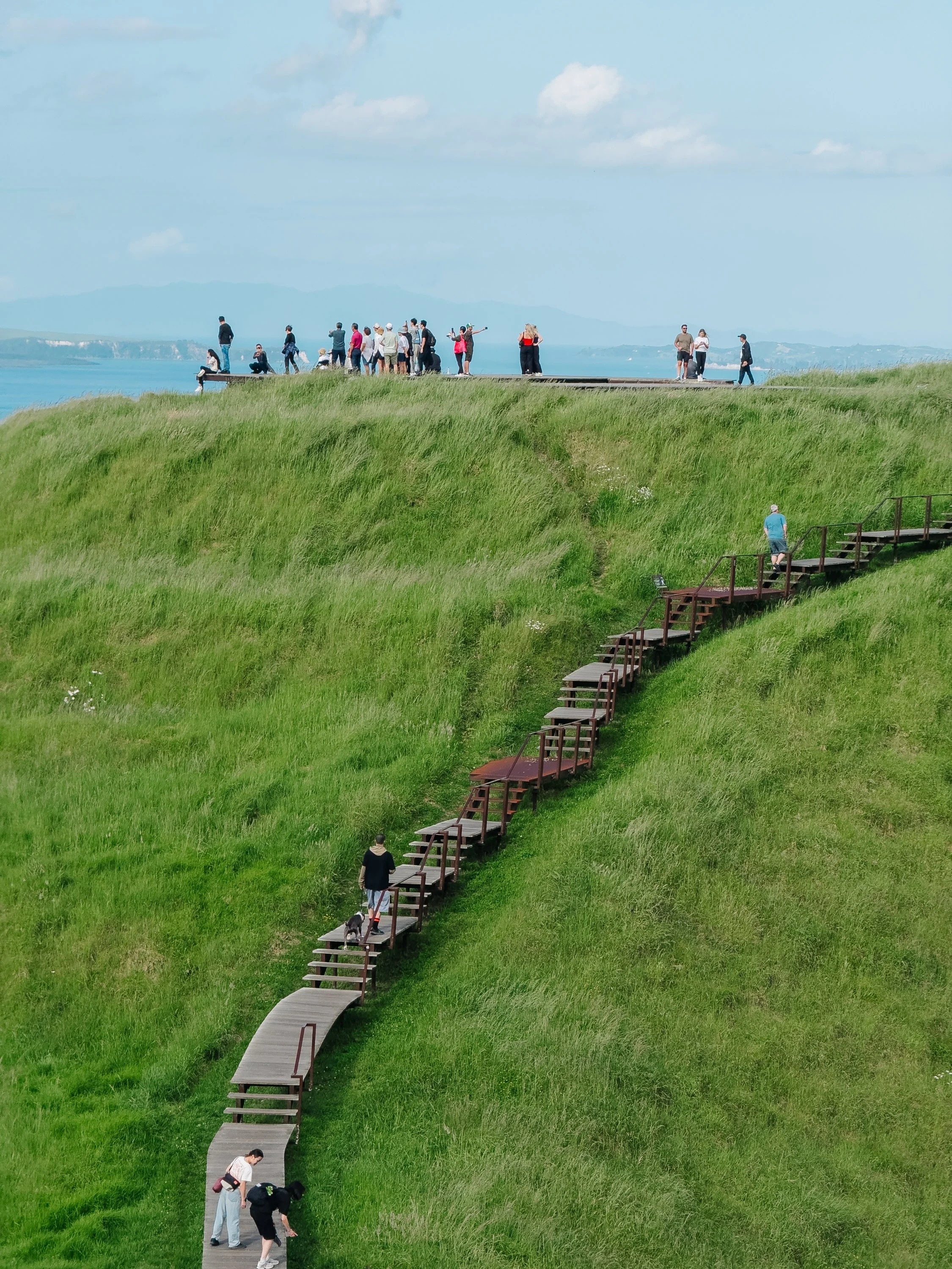
Auckland
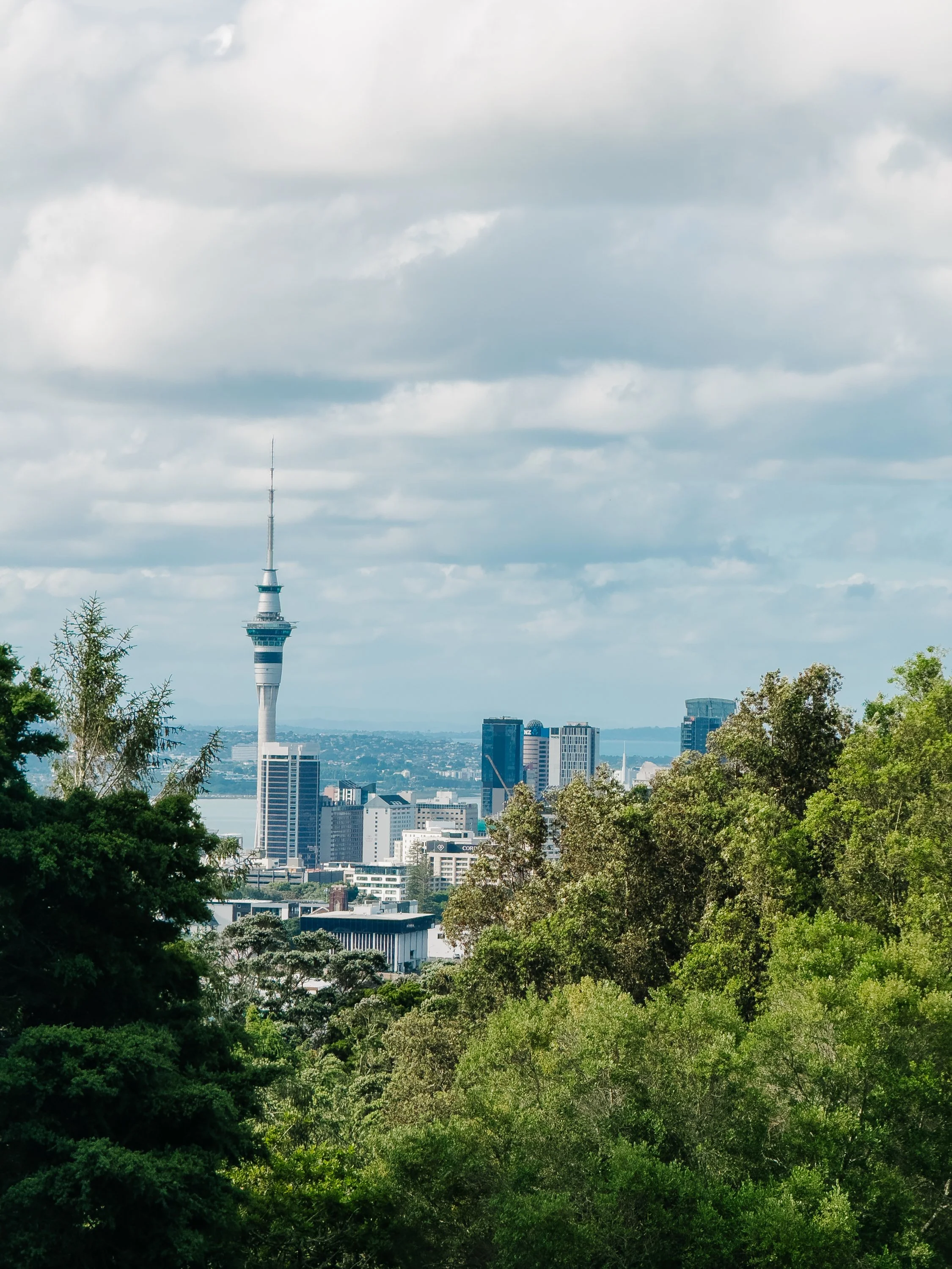
Auckland
We eventually bid my cousin farewell, and before leaving Auckland, we paid a visit to the Sky Tower. Imagine Seattle's Space Needle, only roughly 500 feet taller, rising above the city as the tallest freestanding structure in the Southern Hemisphere. We settled into one of the lounges near the top for sunset, looking out over the harbor until we could pick out Arcturus far below, suddenly reduced to a tiny speck among the boats.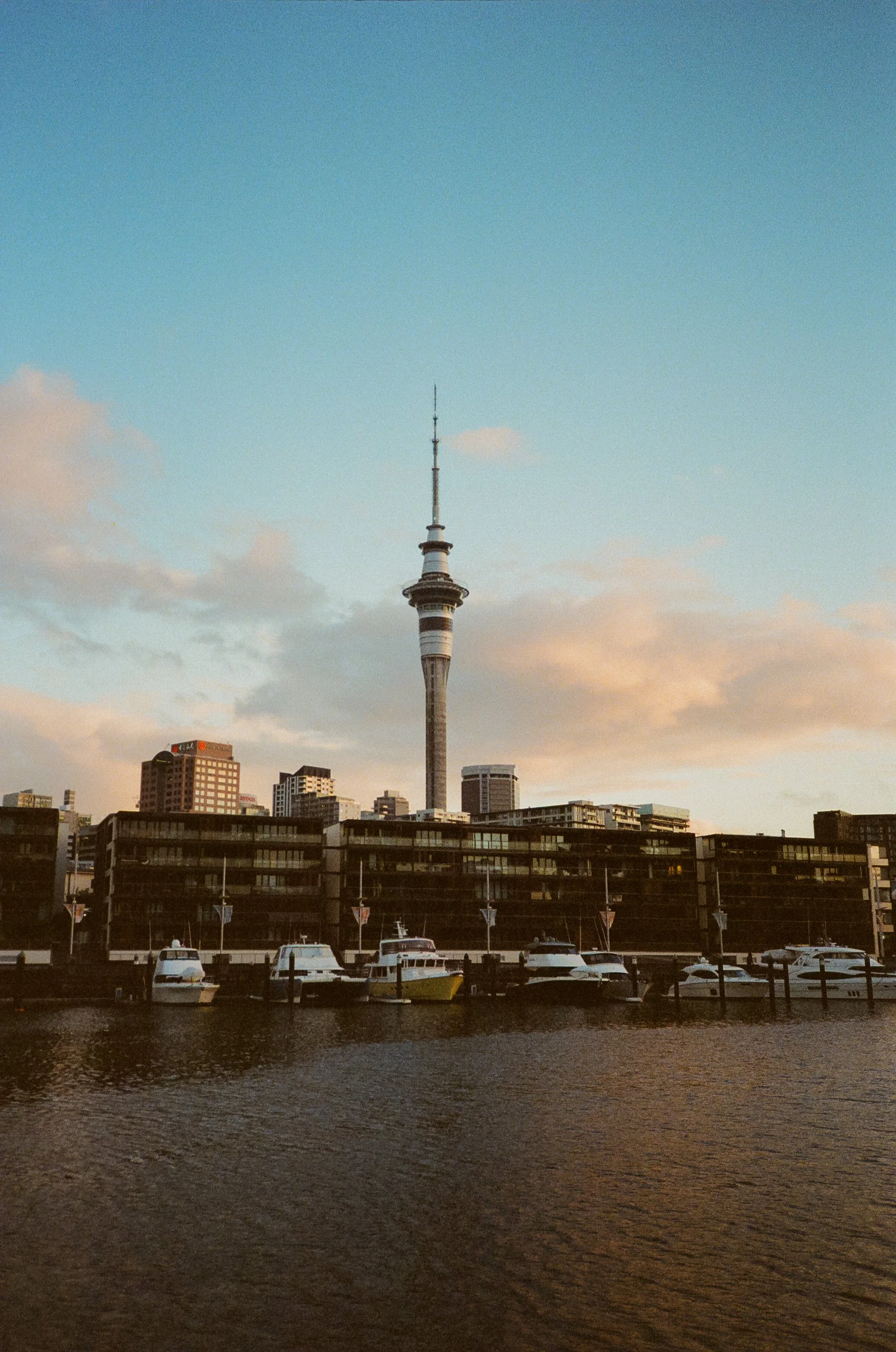
Auckland’s Sky Tower
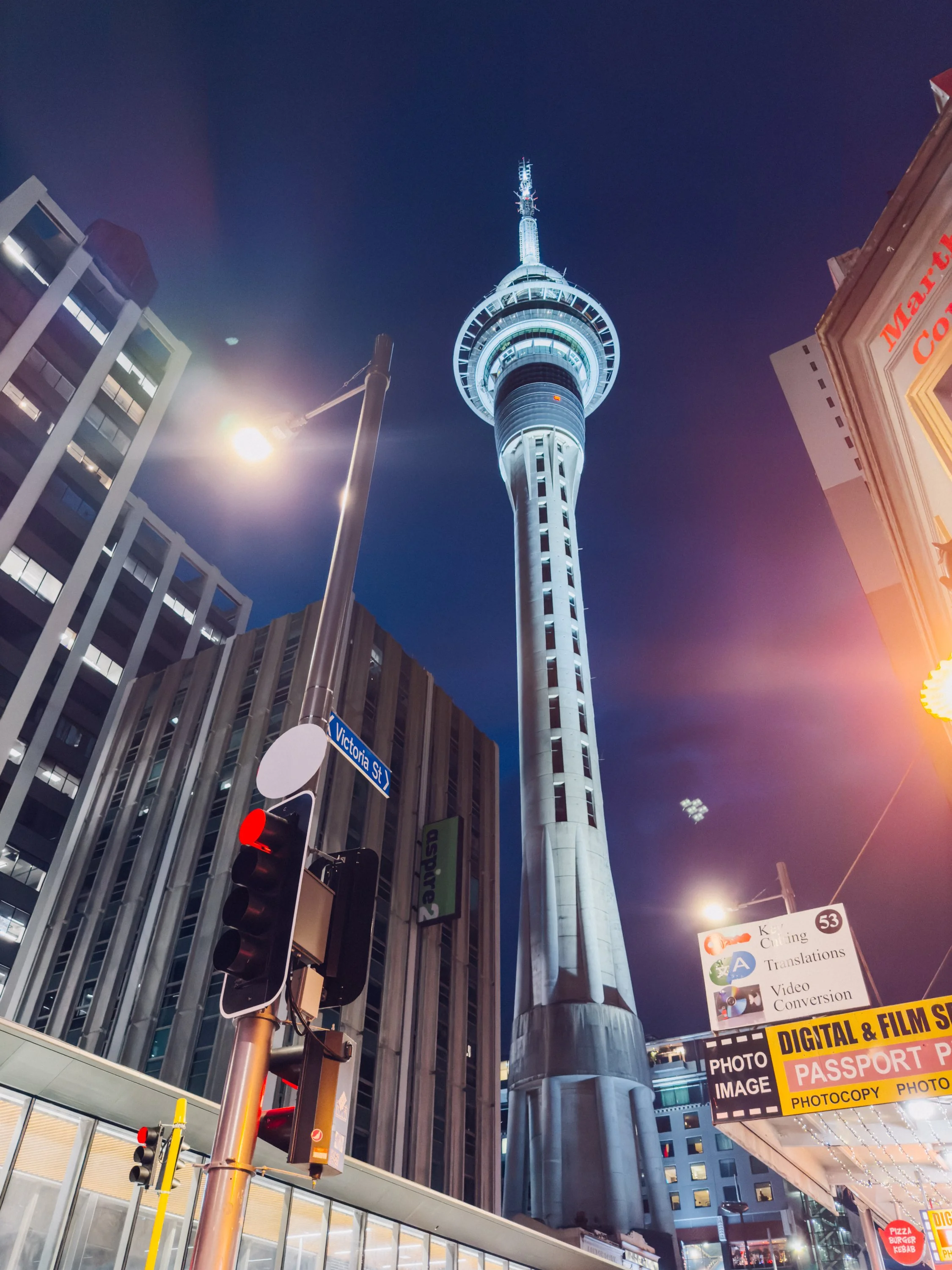
Auckland’s Sky Tower

Auckland’s Sky Tower
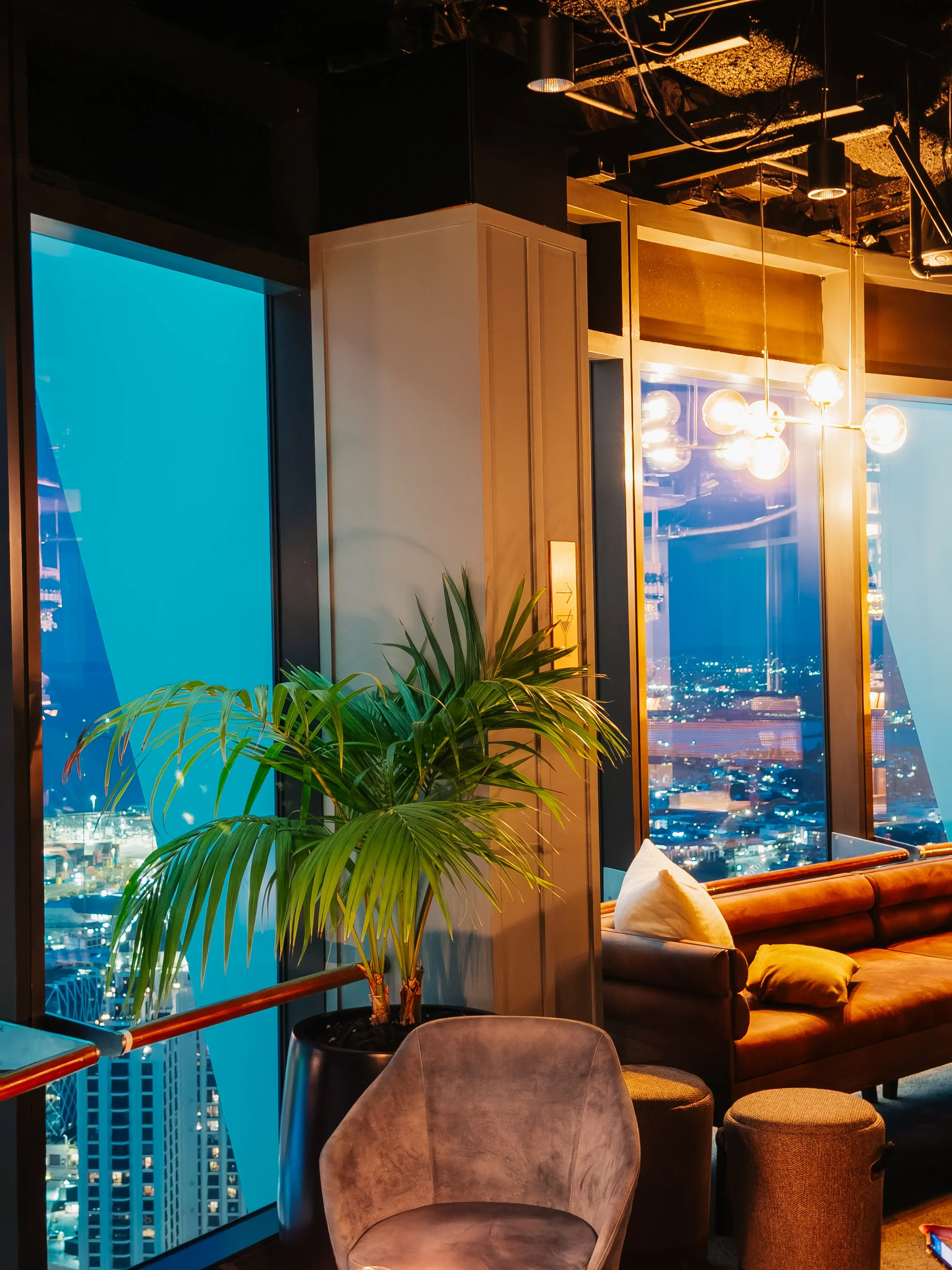
Auckland’s Sky Tower
The Route We Never Planned to Sail
After spending time in Auckland and venturing much farther south than we had originally anticipated, we began to wonder whether it was worth revisiting our proposed itinerary. Our original New Zealand sailing plan had been fairly straightforward. We would explore the Bay of Islands, eventually head north again, round the top of the North Island, and sail roughly 300 nautical miles down its western side toward Nelson on the South Island. There were a few complications, one being that much of that stretch offered virtually nowhere to stop, and another being that no foreseeable weather window made the plan seem particularly achievable.The west coast is exposed to the Tasman Sea, and making the passage comfortably requires choosing a good weather window. We knew we would eventually need to wait for the right conditions. For the moment, however, we simply continued working our way south, always knowing we had the option to turn north again. Almost immediately, the wind began making decisions for us. The conditions required to sail comfortably north from Auckland were nowhere in sight. Even if we fought our way back up the coast, the Tasman Sea offered no appealing window for the west-coast passage. To the east and south, however, the forecast looked almost perfect. Our interest, or mine at least, was piqued by the prospect of exploring places we had not even thought to research because we never expected to go there. There comes a point in sailing when stubborn adherence to an itinerary starts looking considerably less intelligent than simply going where the weather wants to take you.So instead of turning north, we kept sailing south. It was not the route we had planned, but little did we know it would become one of the most rewarding detours of our entire New Zealand journey.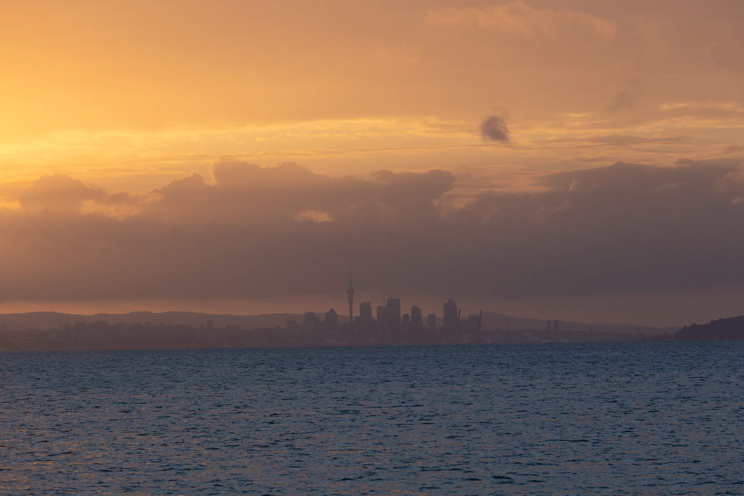
Auckland
The Coromandel Peninsula (Te Tara-o-te-Ika-a-Māui)
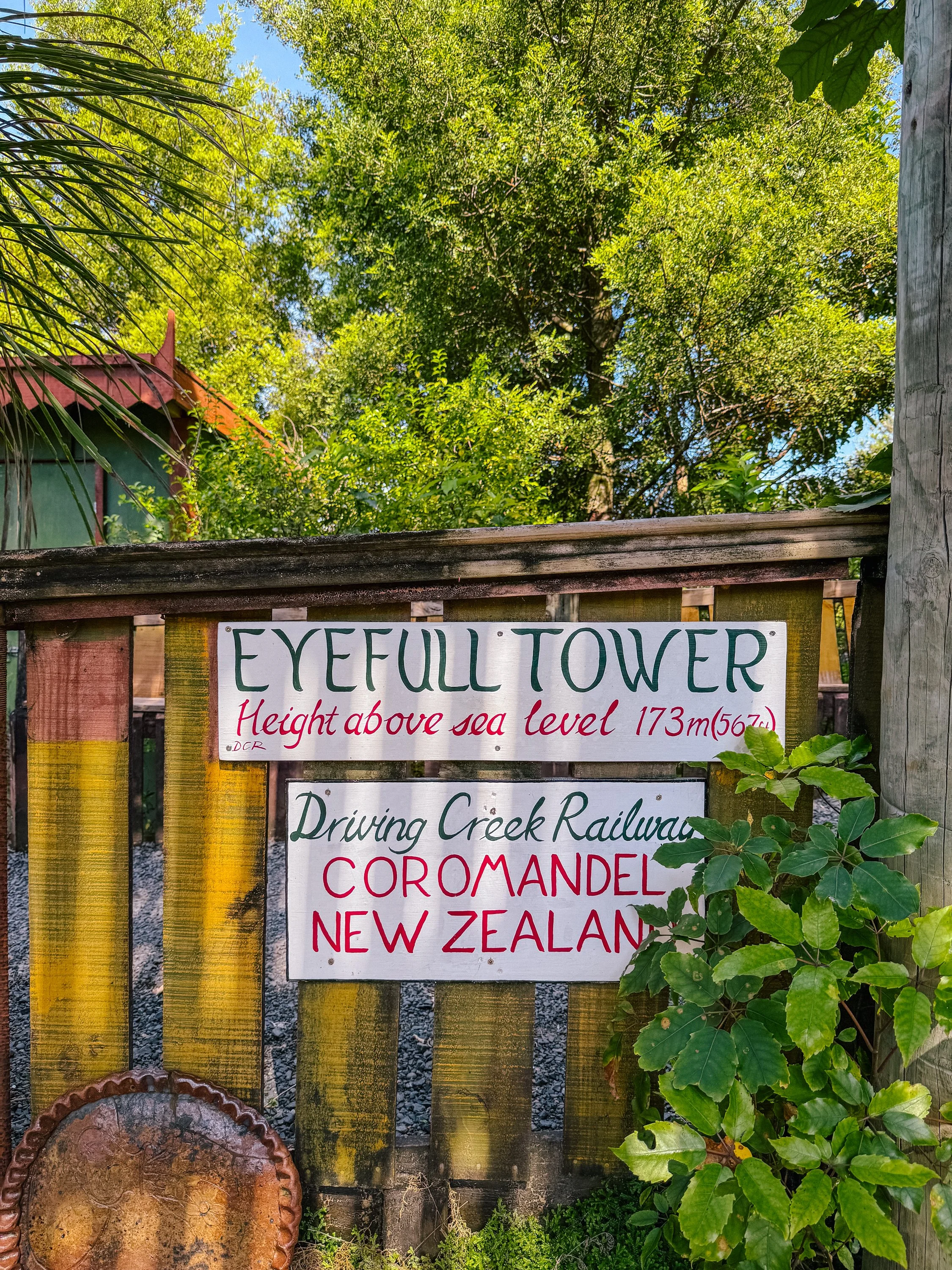
The Coromandel Peninsula and its offshore islands unfolded in a sequence of clear bays, pale beaches, forested hills, and volcanic rock. Before rounding the peninsula to continue south, we stopped in Coromandel Town, known locally as "Coro Town," to visit Driving Creek Railway.Driving Creek was the creation of potter, engineer, and conservationist Barry Brickell, who purchased the property in 1973 for its rich terracotta clay. What began as a pottery gradually grew into something far more ambitious. Brickell first constructed a small railway to move clay, wood, and pottery around the steep property, eventually expanding it into the narrow-gauge line that now winds its way up the mountainside through tunnels, bridges, viaducts, and a series of tight reversing points. The railway was built largely by hand over several decades, with its final terminus at the EyeFull Tower officially opening in 2003.The railway was only part of his vision. When Brickell acquired the land, more than a century of kauri logging, gold mining, and farming had left much of it stripped back to pasture, scrub, and scattered pines. Beginning in 1976, he set about restoring the native forest, establishing a nursery and planting more than 27,000 trees over the following three decades. Kauri, rimu, tōtara, mataī, miro, and kōwhai slowly reclaimed the hillsides, with seedlings often carried uphill on the very railway originally built to haul clay and timber.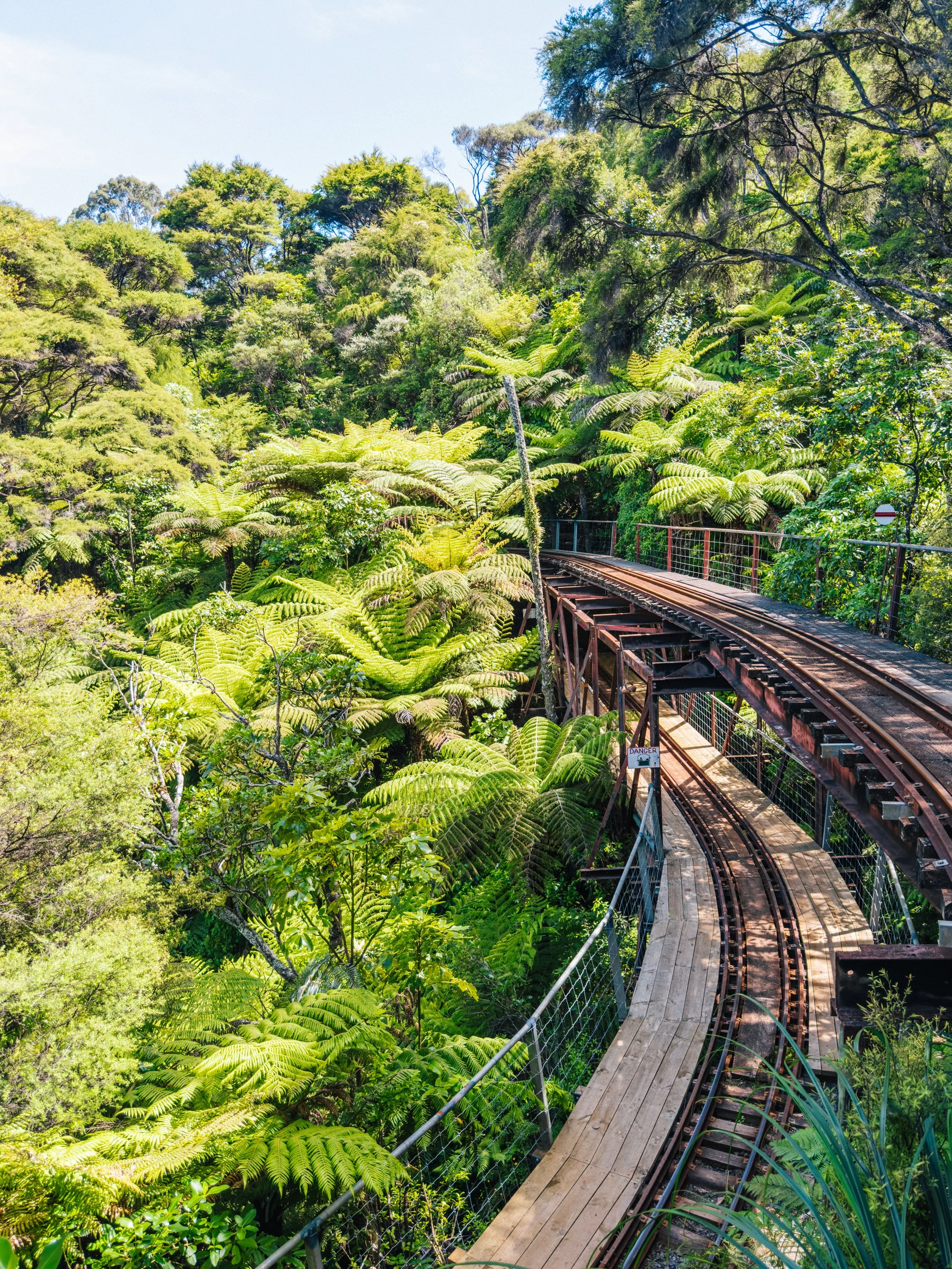
Coromandel Peninsula
Coromandel Peninsula
Coromandel Peninsula
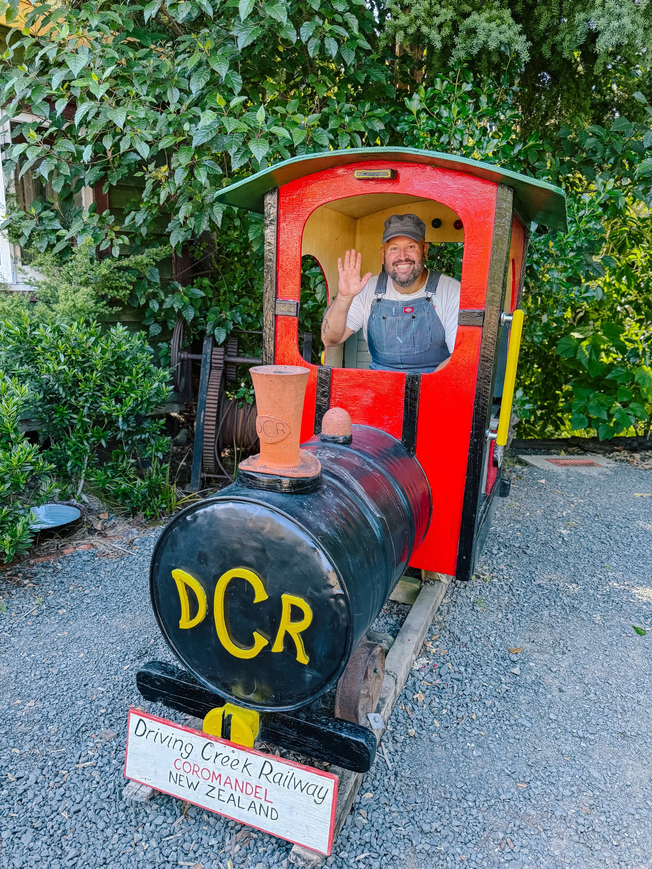
Coromandel Peninsula
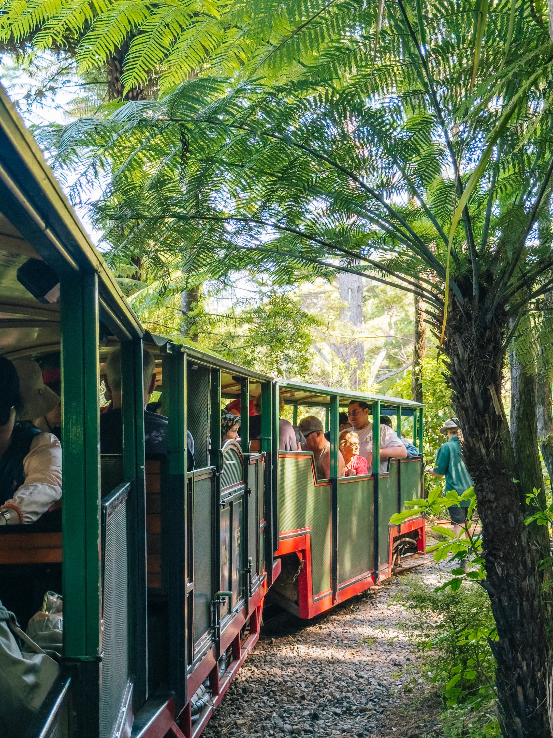
That history made the train ride all the more remarkable. As we boarded, a group of pottery students was unloading the kilns near the original studio, a reminder that Driving Creek is still very much a working creative space rather than simply a tourist attraction. The train climbed gradually into a forest so dense and established that it was difficult to imagine the hills ever having been largely cleared. Along the way, the railway itself became part engineering project and part artwork, filled with quirky details, pottery, sculptural flourishes, tunnels, and precarious-looking bridges tucked into the vegetation.Eventually, we reached the EyeFull Tower at the top of the line, where the forest opened to a sweeping view over Coromandel Town, the harbor, and the Hauraki Gulf beyond. Somewhere far below, tucked into the water, we could even make out Arcturus. The entire place felt like an unusually beautiful collision of one man's interests: pottery, trains, engineering, conservation, and an almost obsessive determination to build something entirely his own.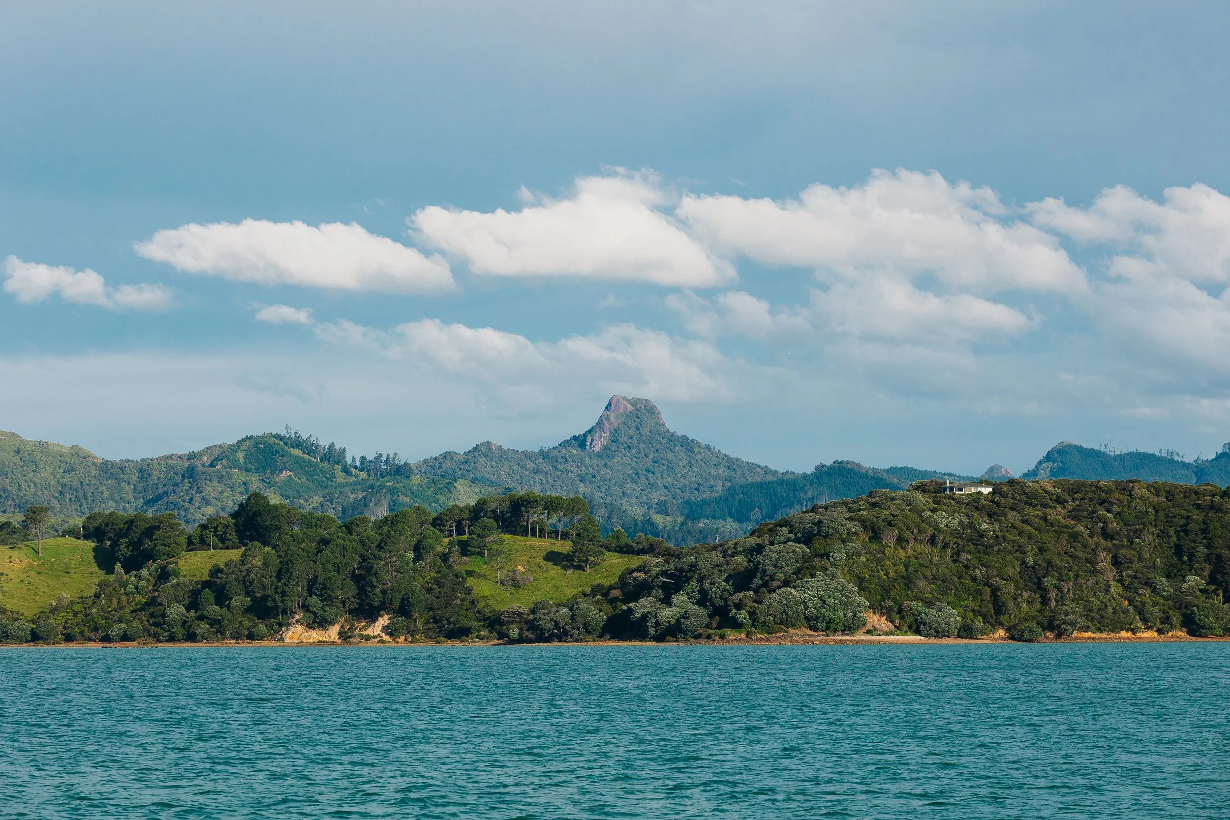
Coromandel Peninsula
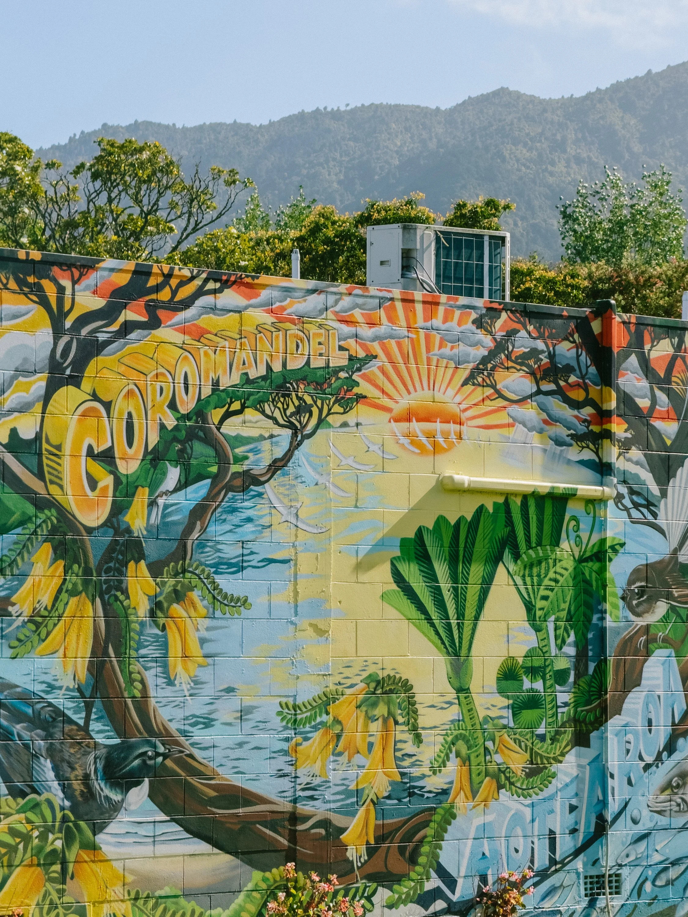
Coromandel Peninsula
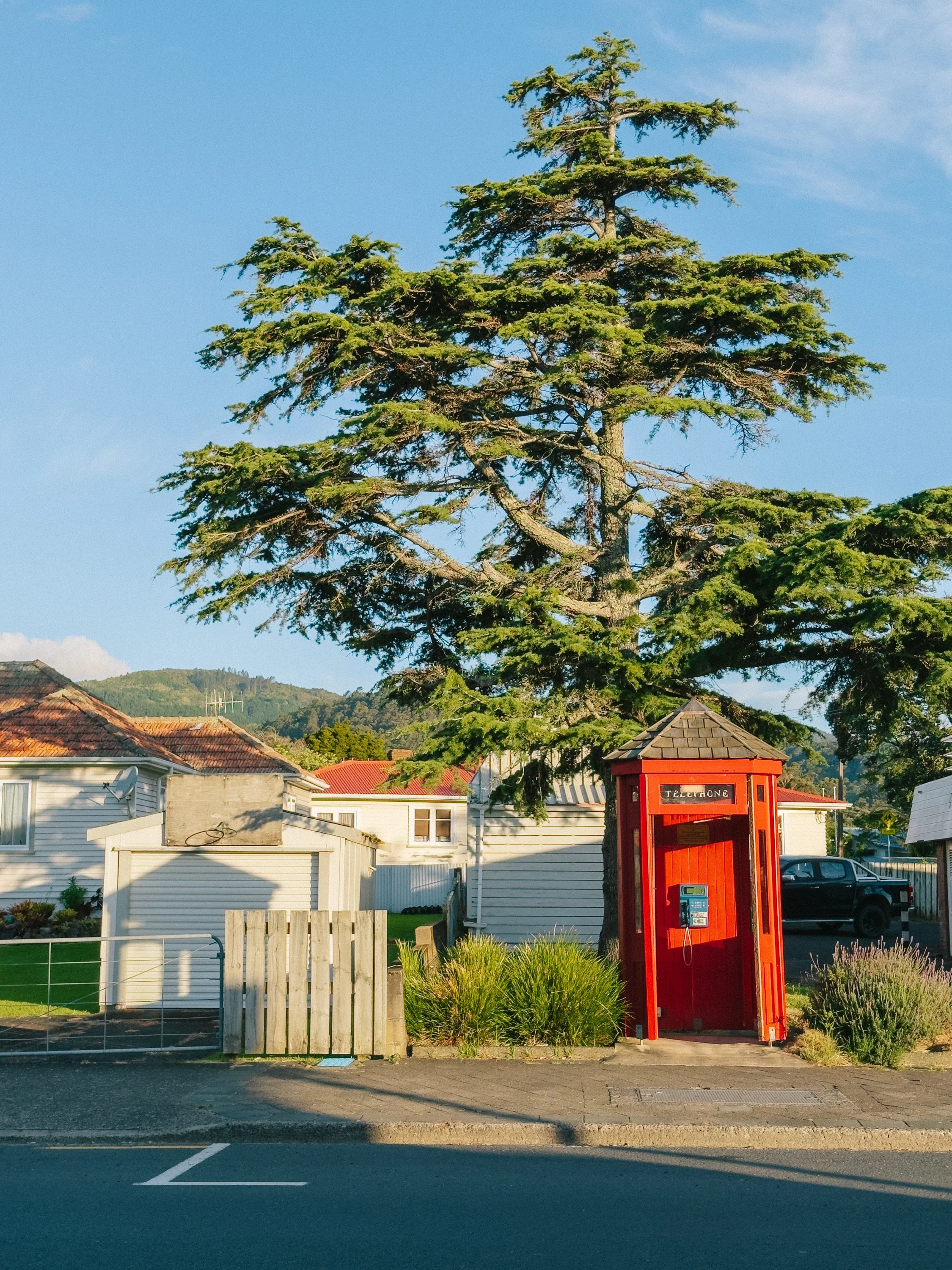
Coromandel Peninsula
Coromandel Peninsula
As we continued down the Coromandel, we learned that the coastline had been important to Māori for generations, its bays and rivers serving simultaneously as highways, fishing grounds, and sources of food. Much later, the peninsula would be transformed by European demand for kauri timber, kauri gum, and gold. But another chapter of its history was written from the deck of a ship.When James Cook sailed into what is now Mercury Bay in November 1769, the Endeavour expedition stopped there so astronomer Charles Green could observe Mercury passing across the face of the sun. The astronomical event gave the bay its English name. There was something wonderfully fitting about learning that while moving through the same waters under sail ourselves, where navigation, astronomy, coastline, and the sea were all tied together in the story. It felt especially fitting to stop here after spending several nights at Point Venus in Tahiti, where Cook's expedition had observed the transit of Venus. More than two and a half centuries later, it felt surreal to arrive at both places ourselves, carrying considerably better charts and rather fewer astronomical instruments.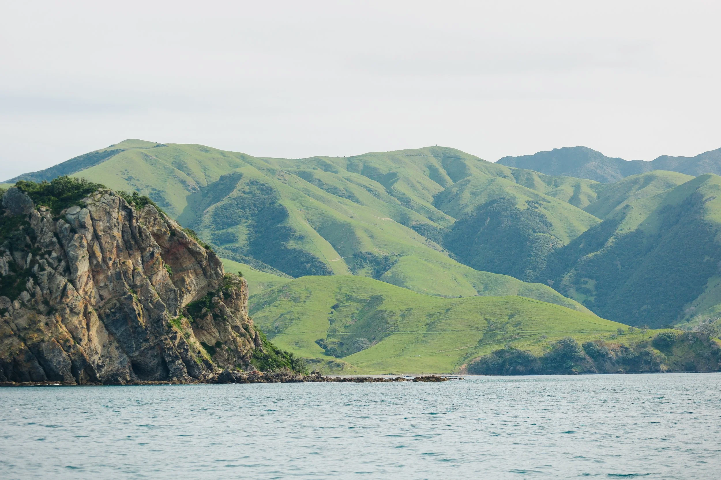
Coromandel Peninsula
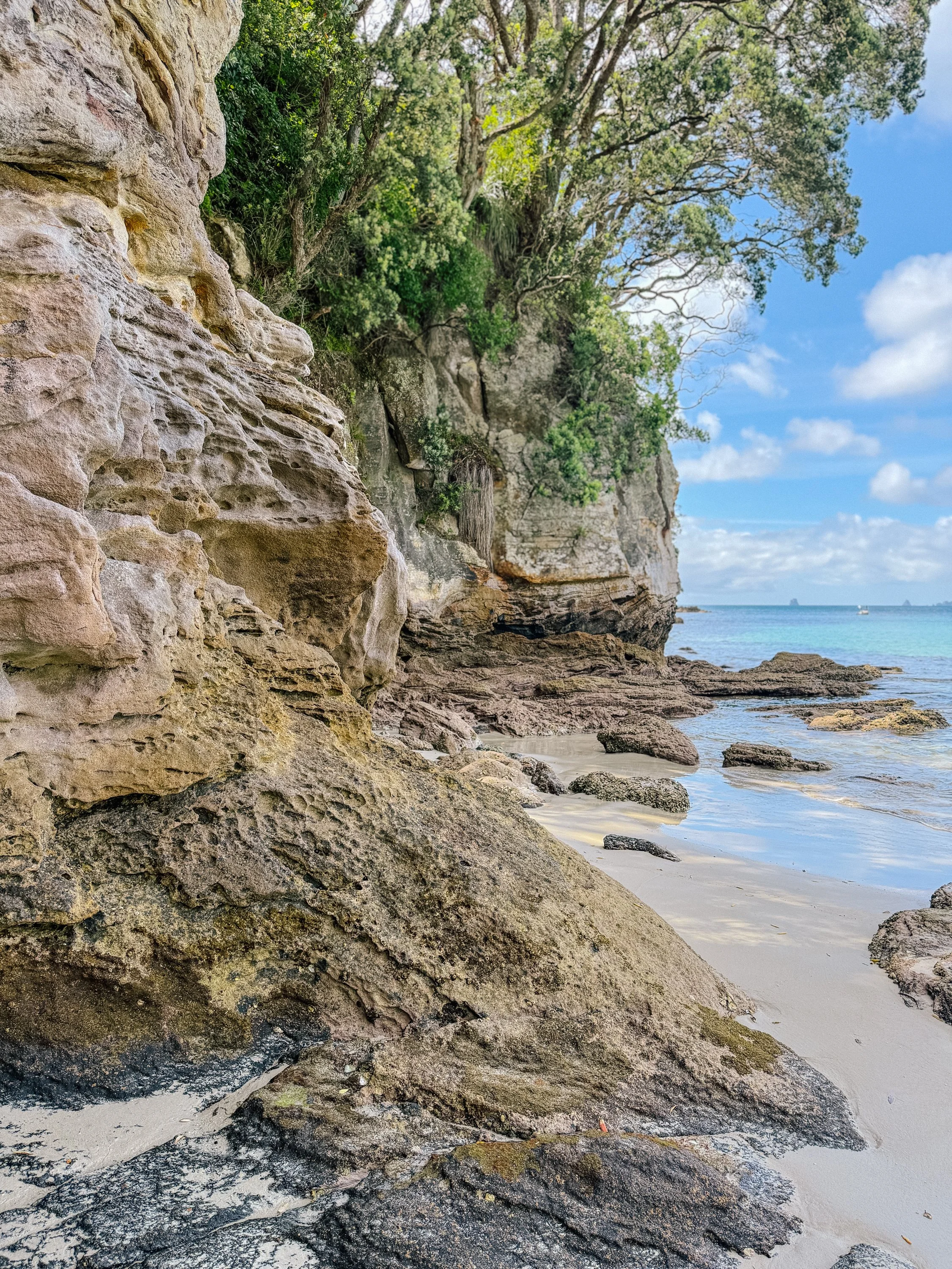
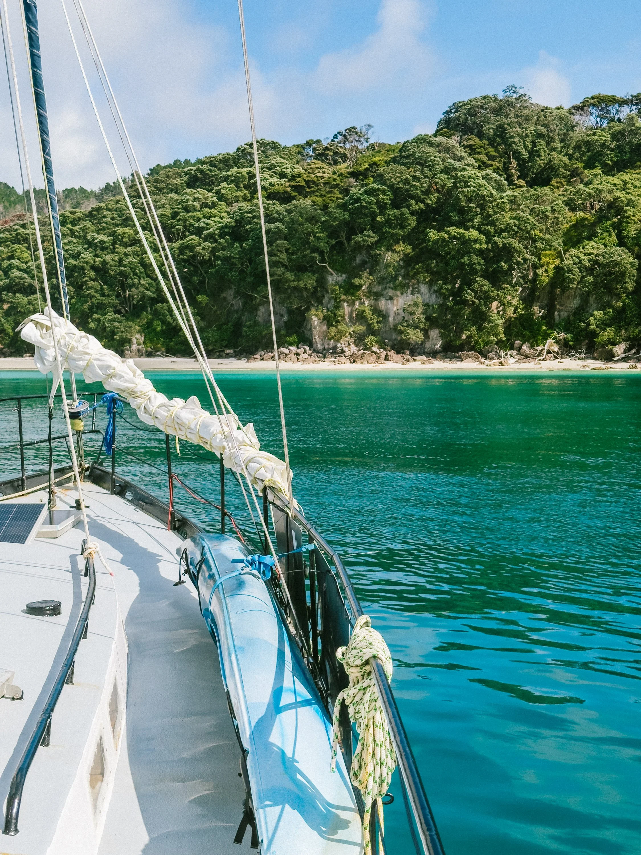
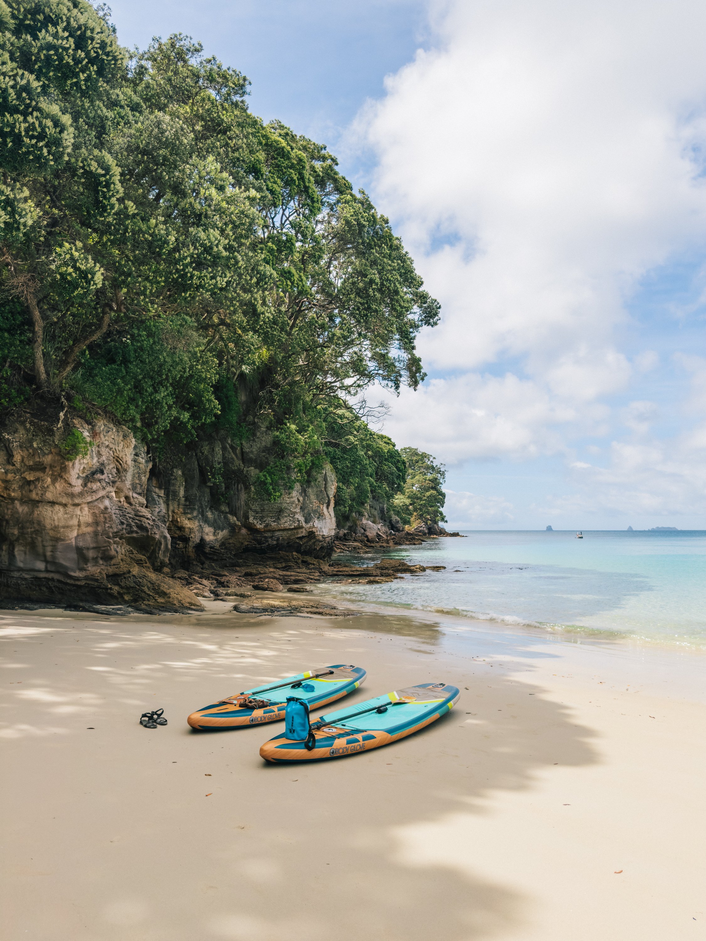
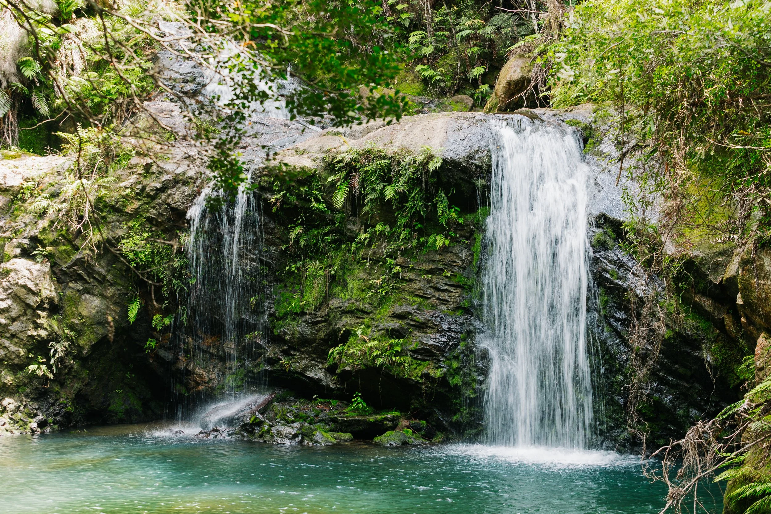
We spent a night among the Mercury Islands in Peach Grove Bay, where white sand and transparent water gave the anchorage an unexpectedly tropical feeling. After so much talk of New Zealand's mountains, rain, and cool southern latitudes, this was yet another reminder that the country resists easy categorization. We went ashore on paddleboards, followed a short trail inland, and even found a waterfall tucked among the vegetation.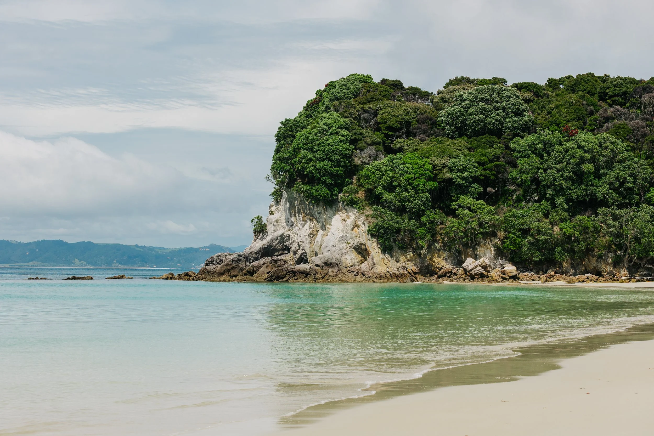
Mercury ISlands
Mercury ISlands
Mercury ISlands
Mercury ISlands
Mercury ISlands
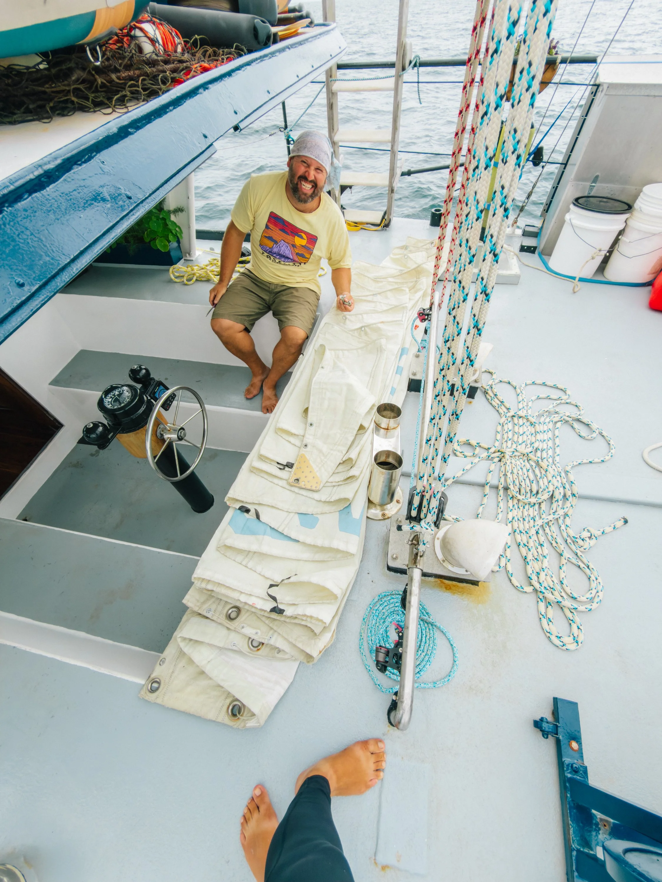
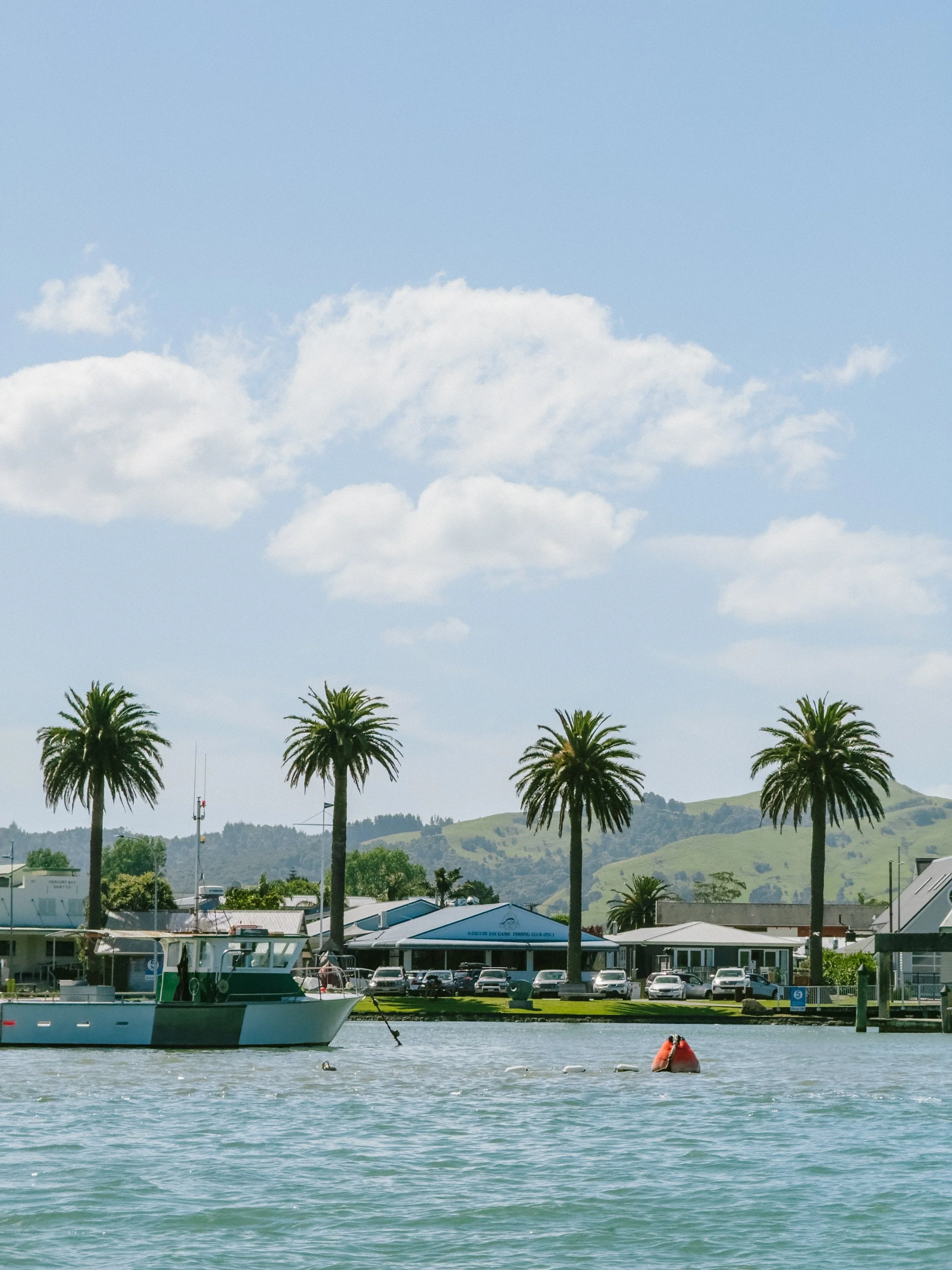
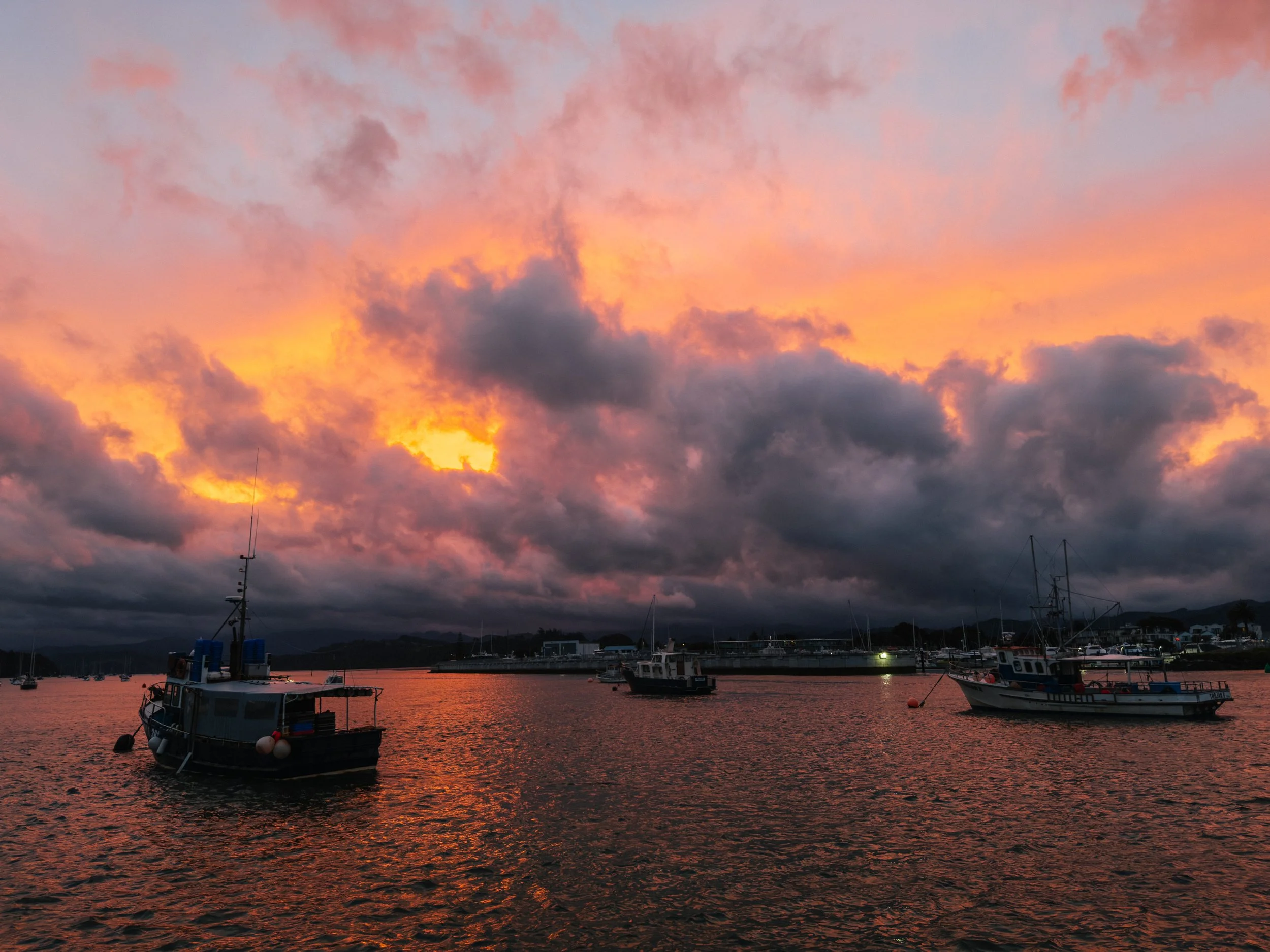
From there, we continued toward Whitianga. Like many cruising stops, our visit contained equal parts sightseeing and boat maintenance. We had suffered a few sail casualties by this point in the voyage, and Whitianga happened to provide an opportunity to pick up some used-but-new-to-us replacements. There is something amusingly ordinary about conducting major sailing logistics amid scenery that looks like a tourism campaign.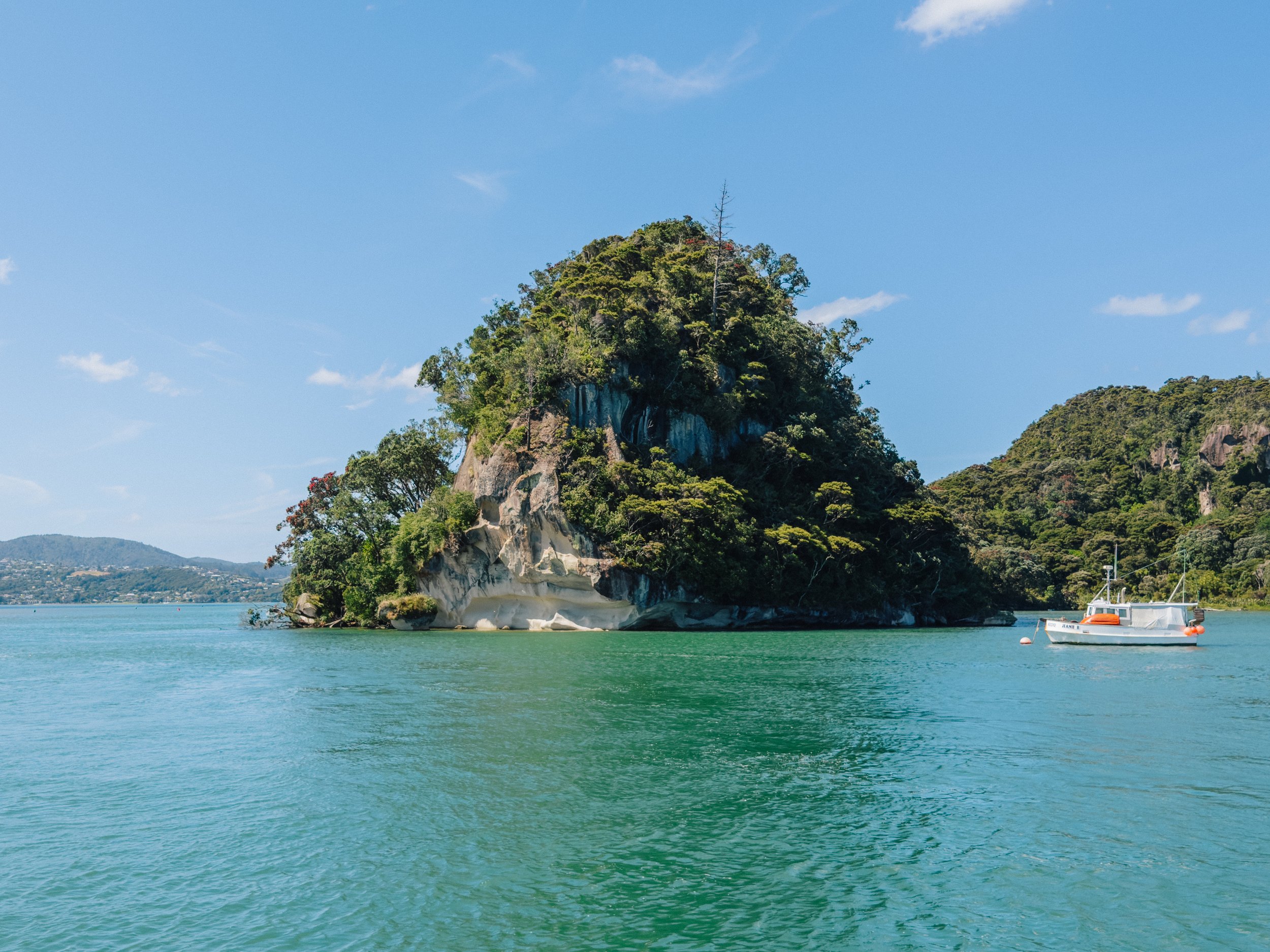
Whitianga
Whitianga
Whitianga
Whitianga
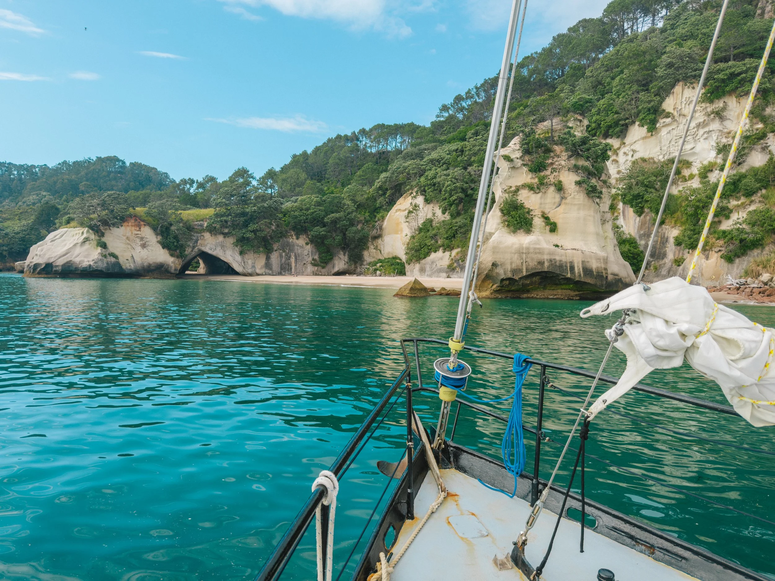
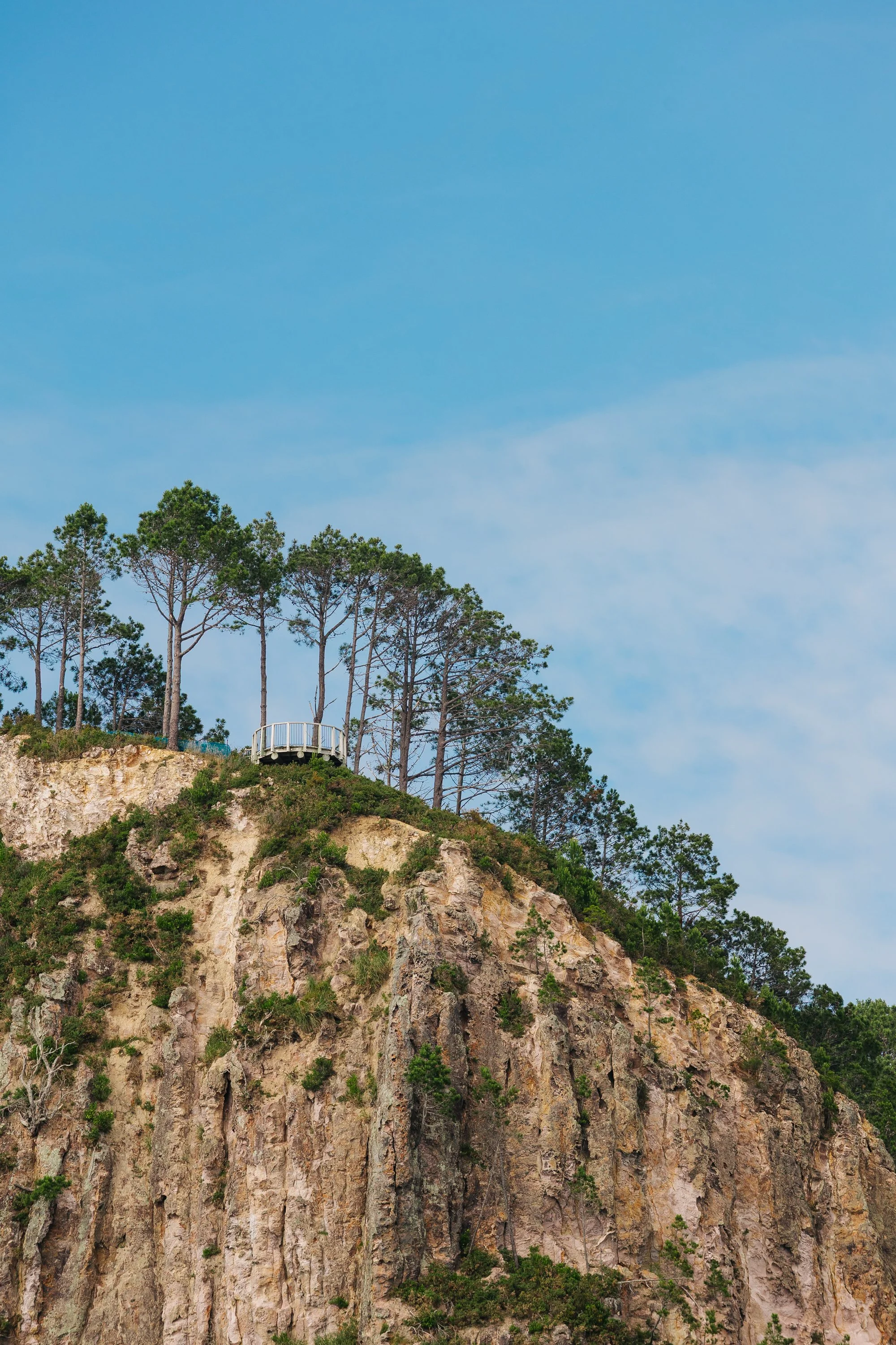
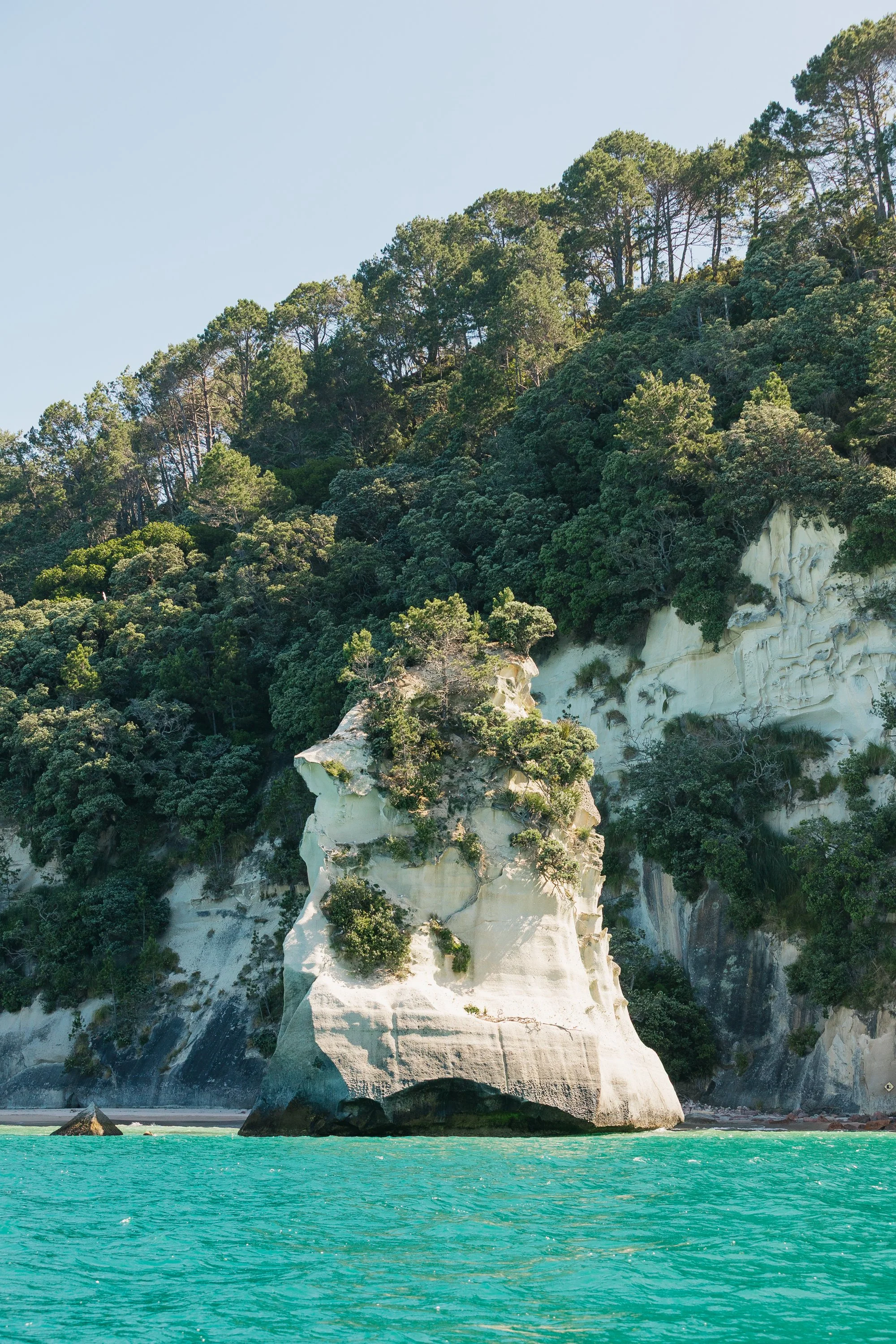
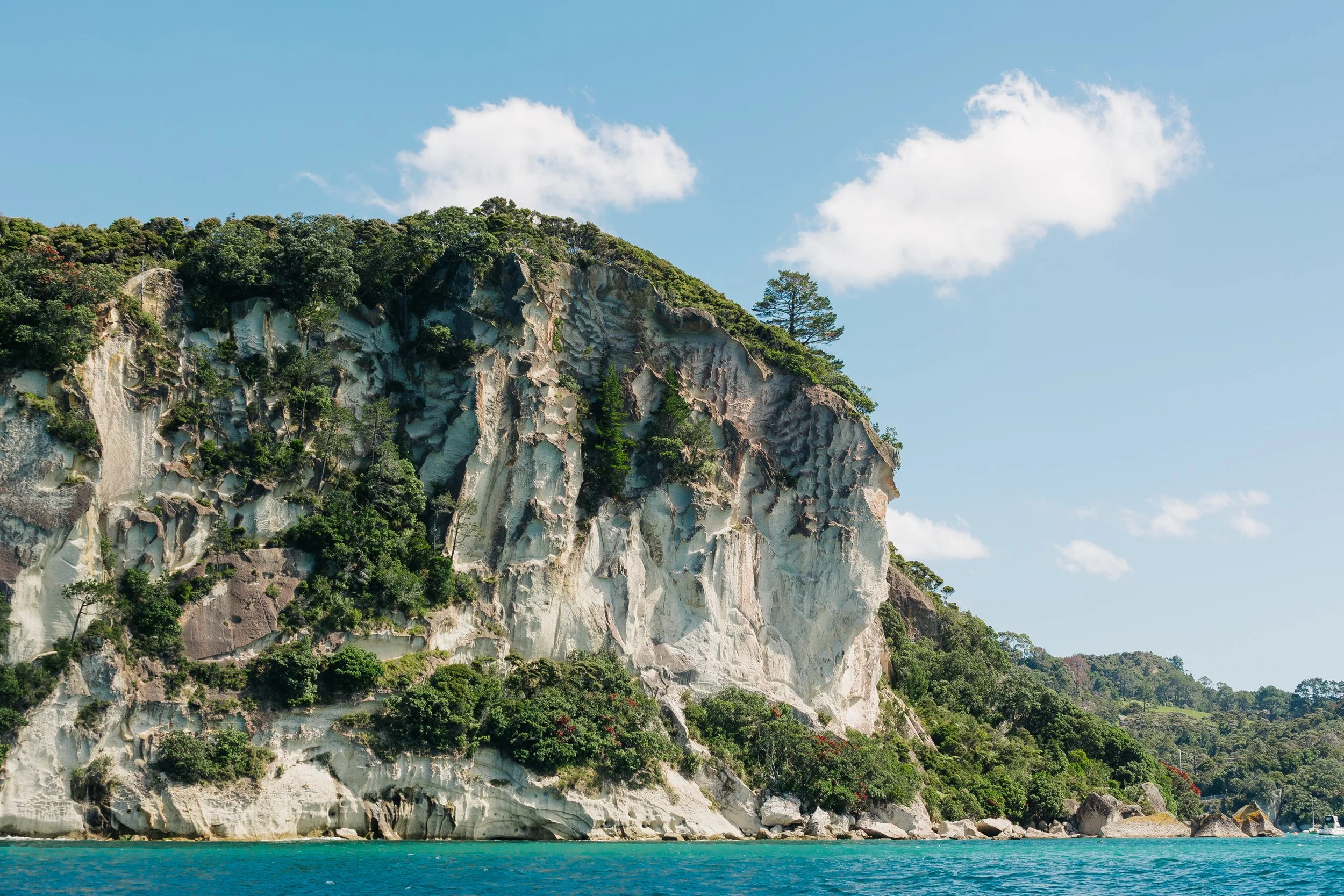
With our new sail inventory aboard, we continued around the coast toward one of the country's most recognizable beaches. Cathedral Cove, or Te Whanganui-o-Hei, is famous for the enormous natural arch cut through its cliffs, framing pale sand and offshore rock formations beyond. Approaching the coastline from the water offered a different perspective from the familiar photographs taken ashore.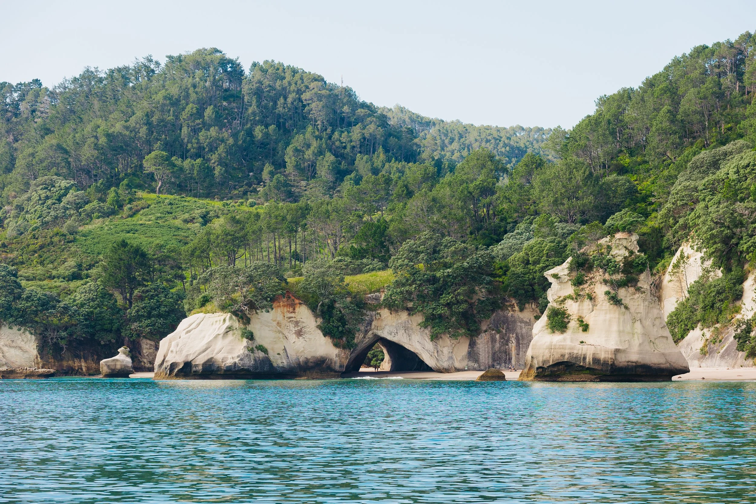
Cathedral Cove
Cathedral Cove
Cathedral Cove
Cathedral Cove
Farther south, the coastline became increasingly dramatic. The Aldermen Islands rose from the Pacific like pieces of a drowned mountain range, sharp volcanic pinnacles thrust abruptly from deep water. They were wild, sculptural, and almost severe. After the soft beaches of the Mercury Islands, the dark spires of the Aldermen felt like another country entirely, yet we had sailed only a matter of miles. We next stopped at Mayor Island (Tūhua), a dormant shield volcano defined by dramatic cliffs. Going ashore requires permission, and by the time our request was kindly returned, we were already underway again, bound for Tauranga.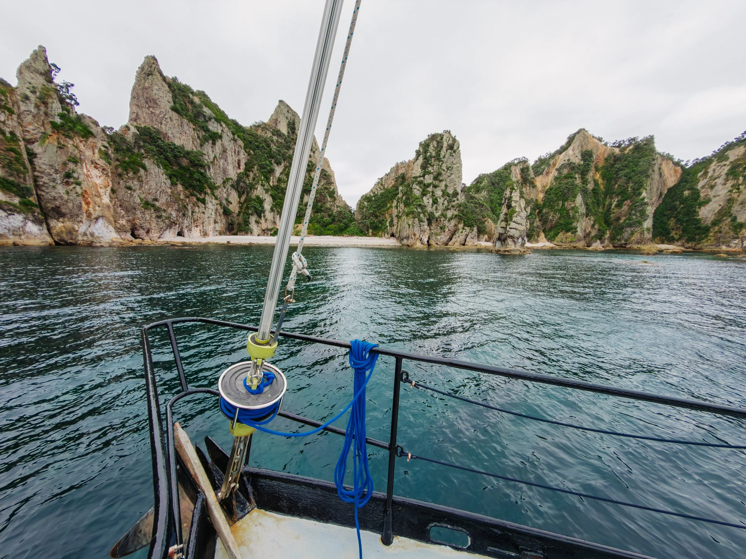
Alderman Islands
City of Tauranga
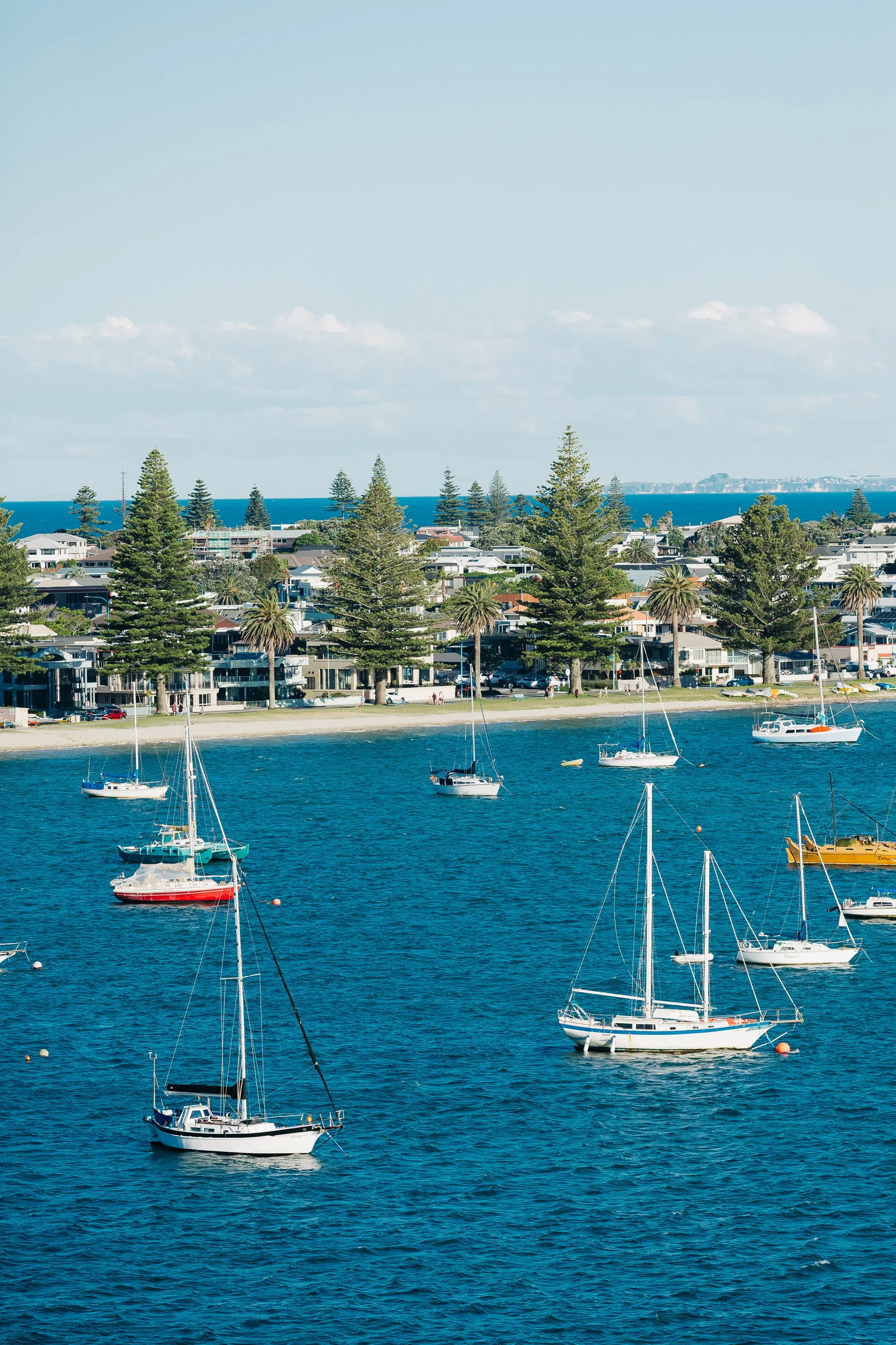
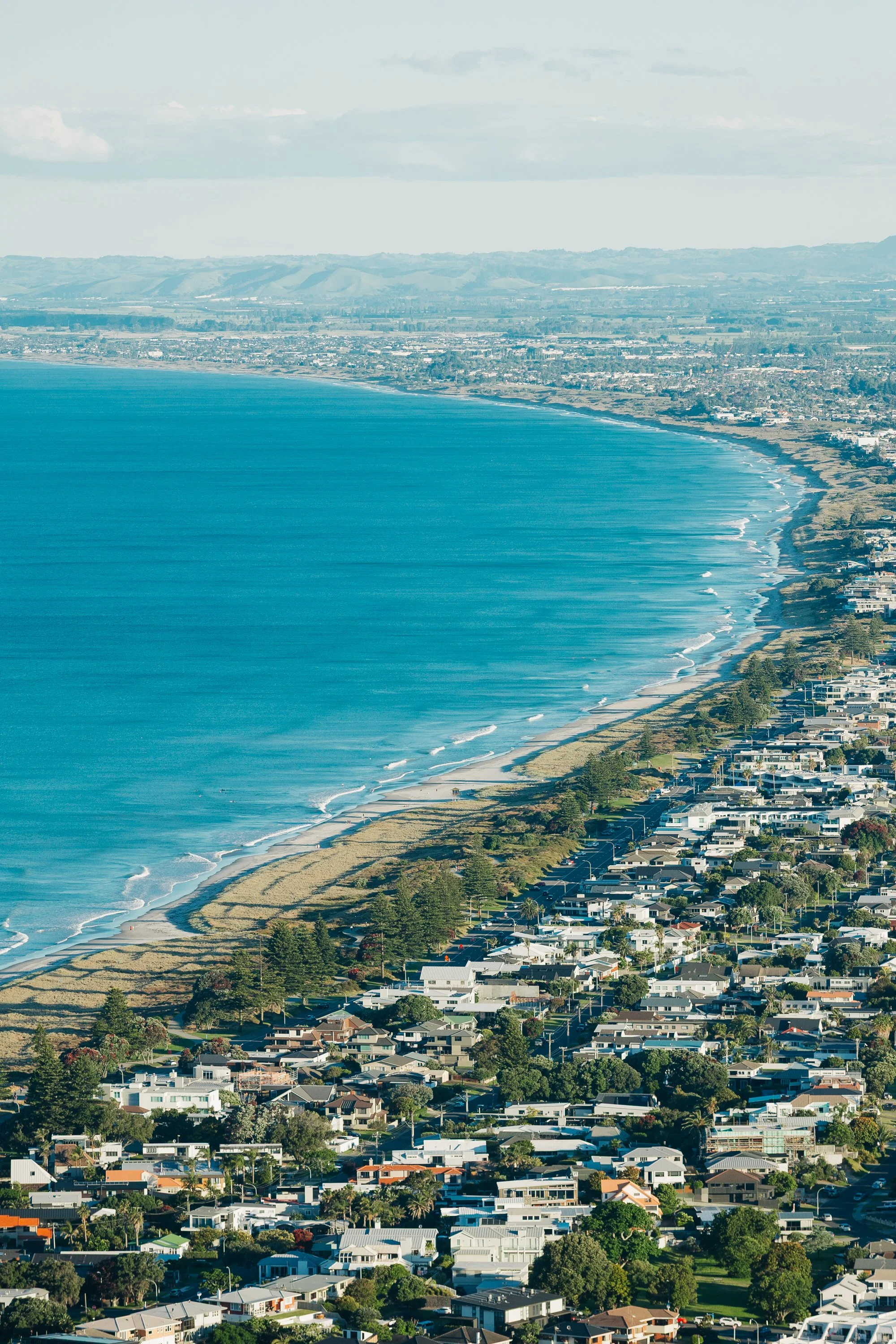
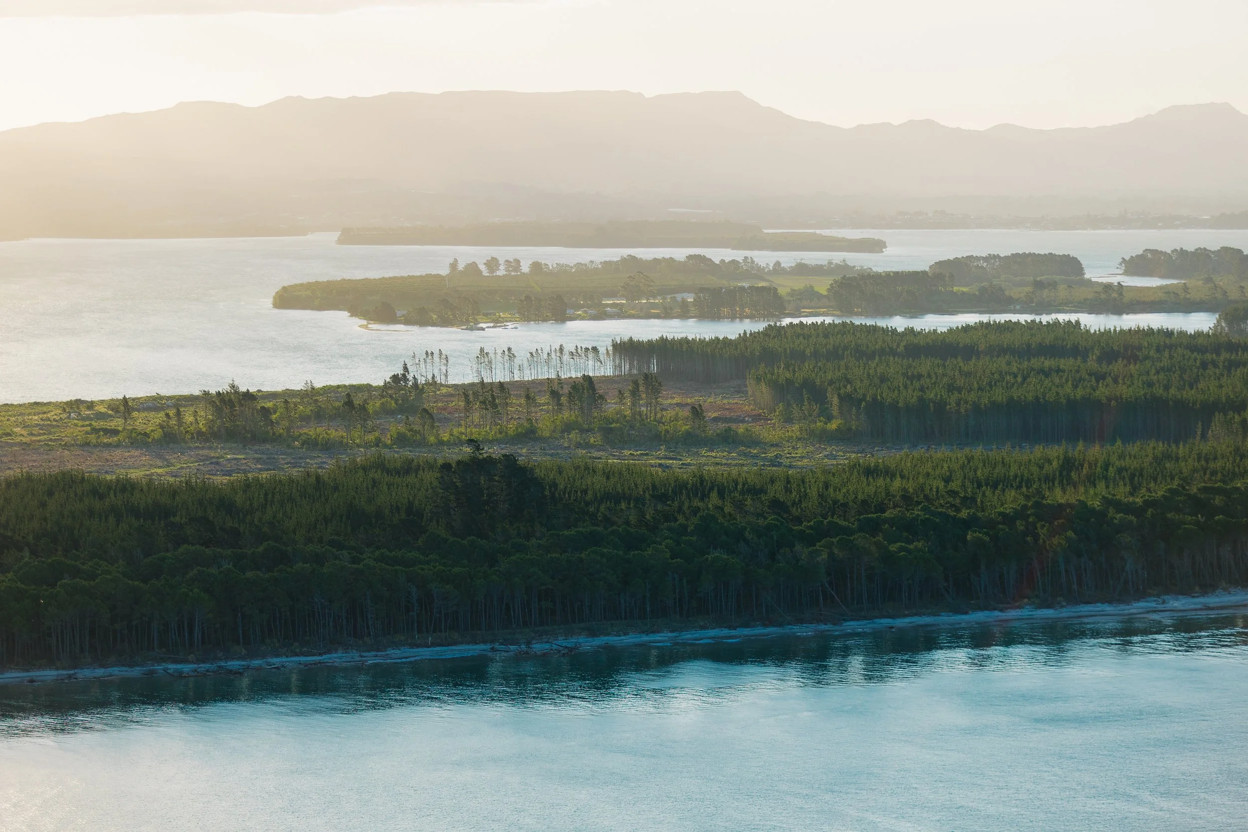
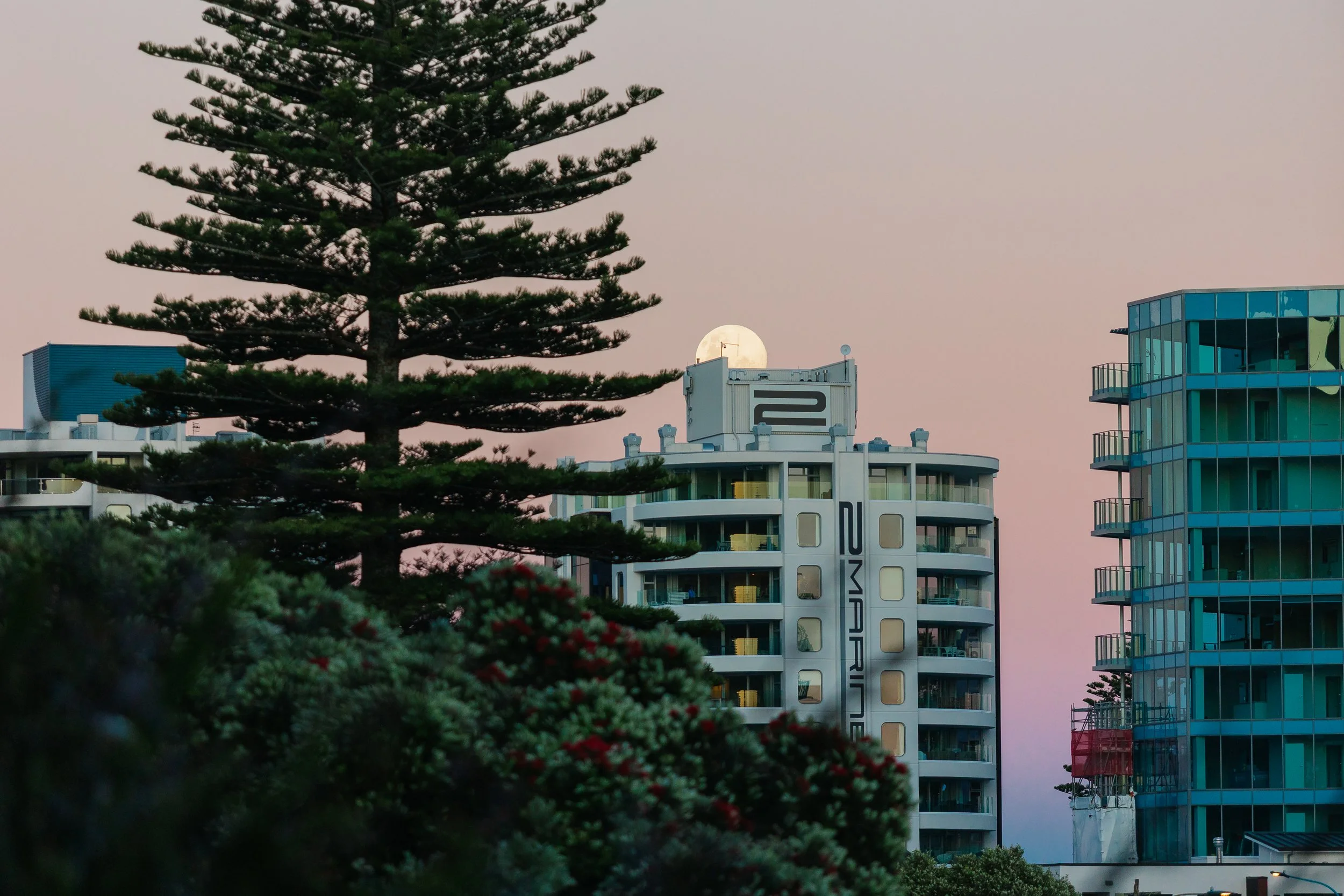
When a storm moved across the North Island, we decided to seek shelter in Tauranga rather than continue fighting deteriorating conditions. For a city, Tauranga surprised us. The harbor was pleasant, the waterfront lively without feeling overwhelming, and the wide Pacific beaches on the far side of Mount Maunganui gave the area a strangely familiar feeling. There were moments when the coast reminded us of Southern California: long sandy beaches, surf culture, bright Pacific light, and neighborhoods strung along the water. Which, geographically speaking, made perfect sense. We were still on the same enormous ocean, just half a world away.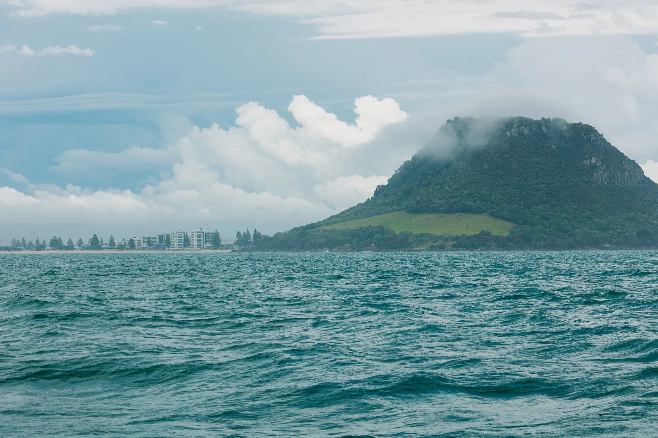
Tauranga / Mount Maunganui
The harbor itself, Tauranga Moana, has been central to Māori life for generations. Standing at the harbor entrance is Mount Maunganui (Mauao), the volcanic cone we climbed while waiting out the weather. Mauao is far more than a scenic viewpoint. It is a deeply significant ancestral landmark, with layers of occupation, pā sites, and traditional stories bound to its slopes. One story tells of Mauao as a mountain who, heartbroken and rejected, asked supernatural beings to drag him toward the sea. Dawn arrived before they could complete the journey, leaving him stranded forever at the entrance to Tauranga Harbour.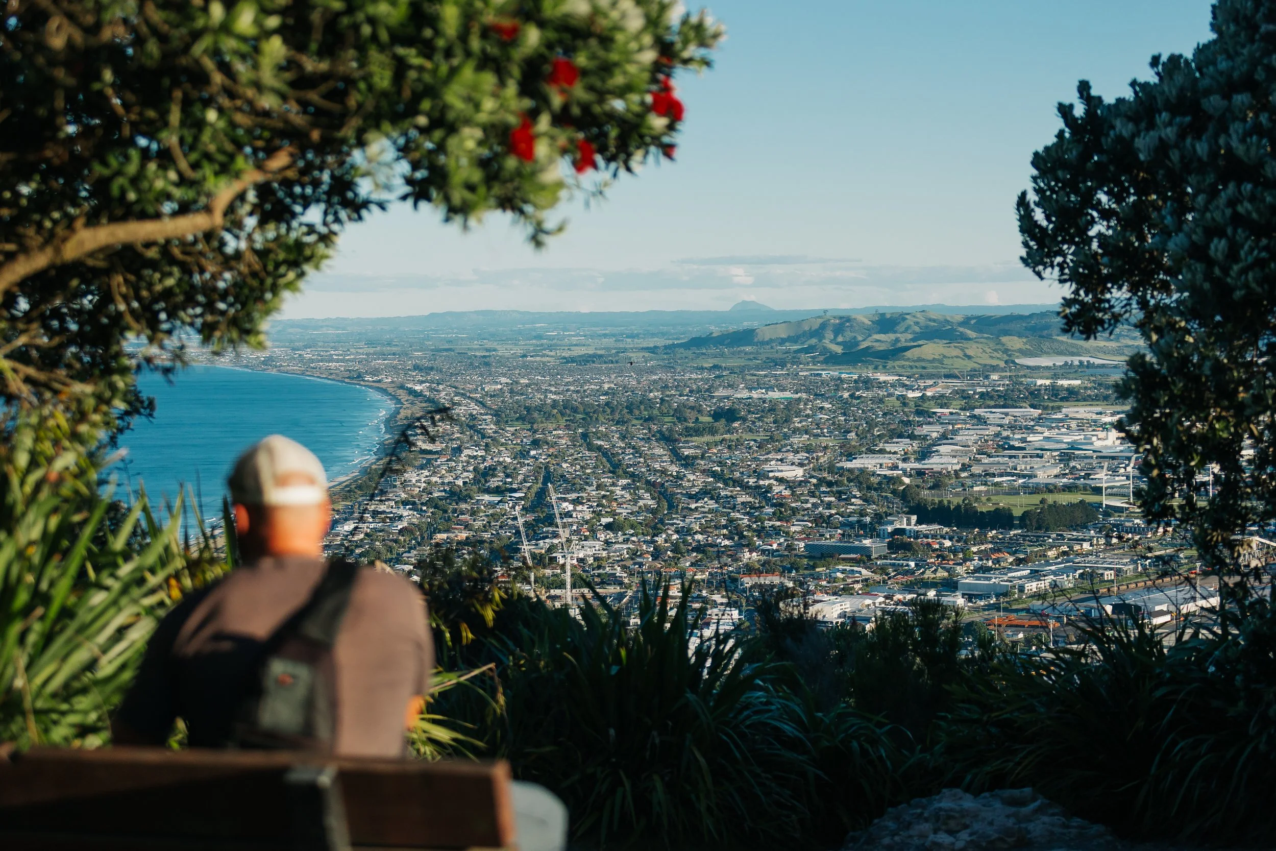
Tauranga / Mount Maunganui
Tauranga / Mount Maunganui
Tauranga / Mount Maunganui
Tauranga / Mount Maunganui
Tauranga / Mount Maunganui
From the summit, the modern geography spread below us: the city on one side, broad beaches on the other, and the harbor opening toward the Pacific. After climbing Mount Maunganui, we ventured inland toward McLaren Falls, trading the coast for green parkland and river scenery, before making a day trip to Rotorua to see the geothermal activity. This was honestly one of the only parts of our trip in New Zealand that we felt we could have skipped. The geothermal features were fascinating, but Rotorua itself felt more like a quintessential tourist stop than many of the places we had grown to love elsewhere in the country.Our slower days in Tauranga also gave us time for another form of exploration. We had picked up two contemporary Māori cookbooks, and Louie began experimenting with recipes aboard Arcturus. Food has become one of our favorite ways of understanding the places we travel through. Ingredients, preparation methods, and stories surrounding dishes often reveal something that museums and scenic viewpoints cannot. And after months of provisioning from remote island markets and improvising meals at sea, any excuse to try something new in the galley was welcome.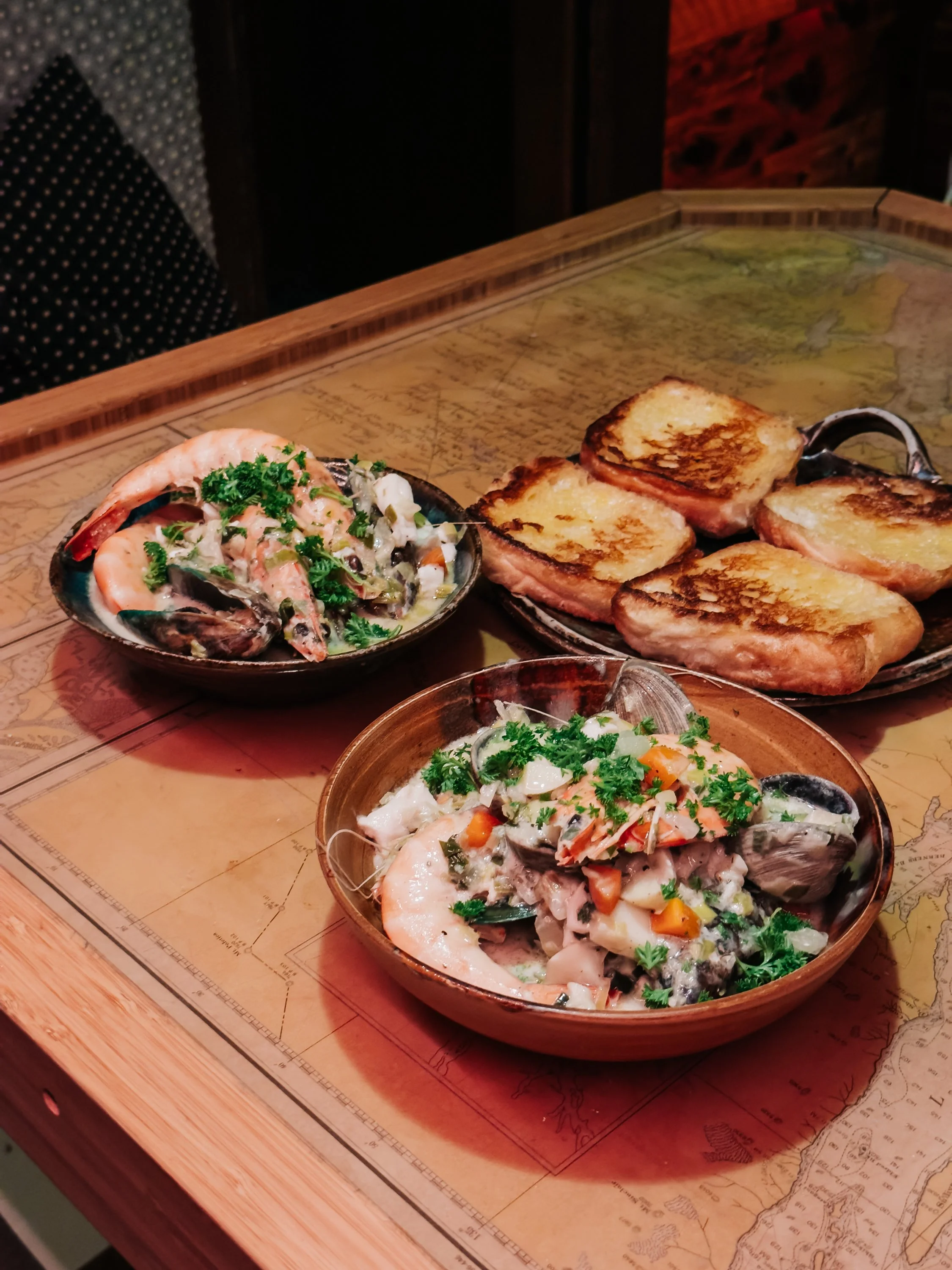
Arcturus Kitchen
Into Volcano Country
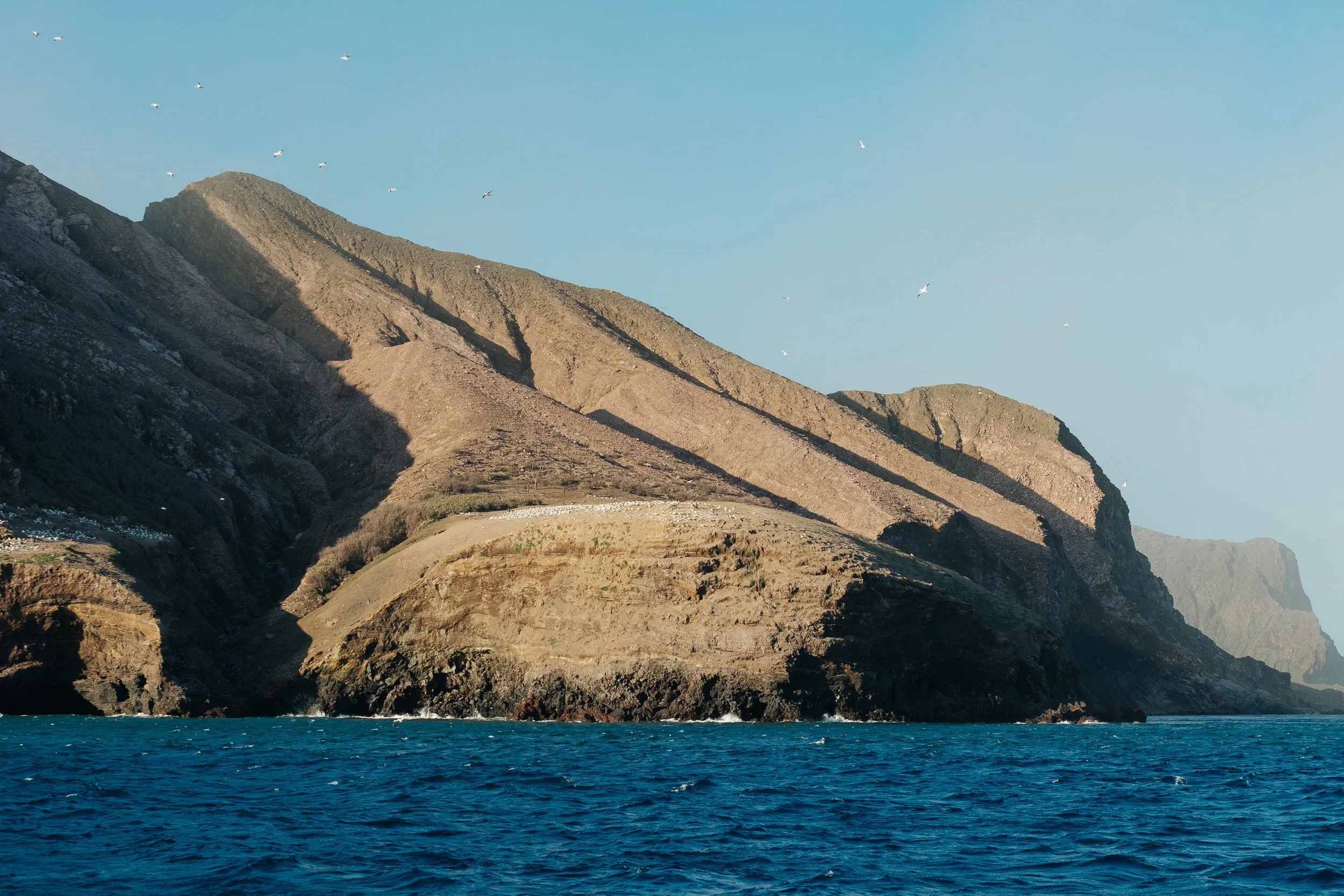
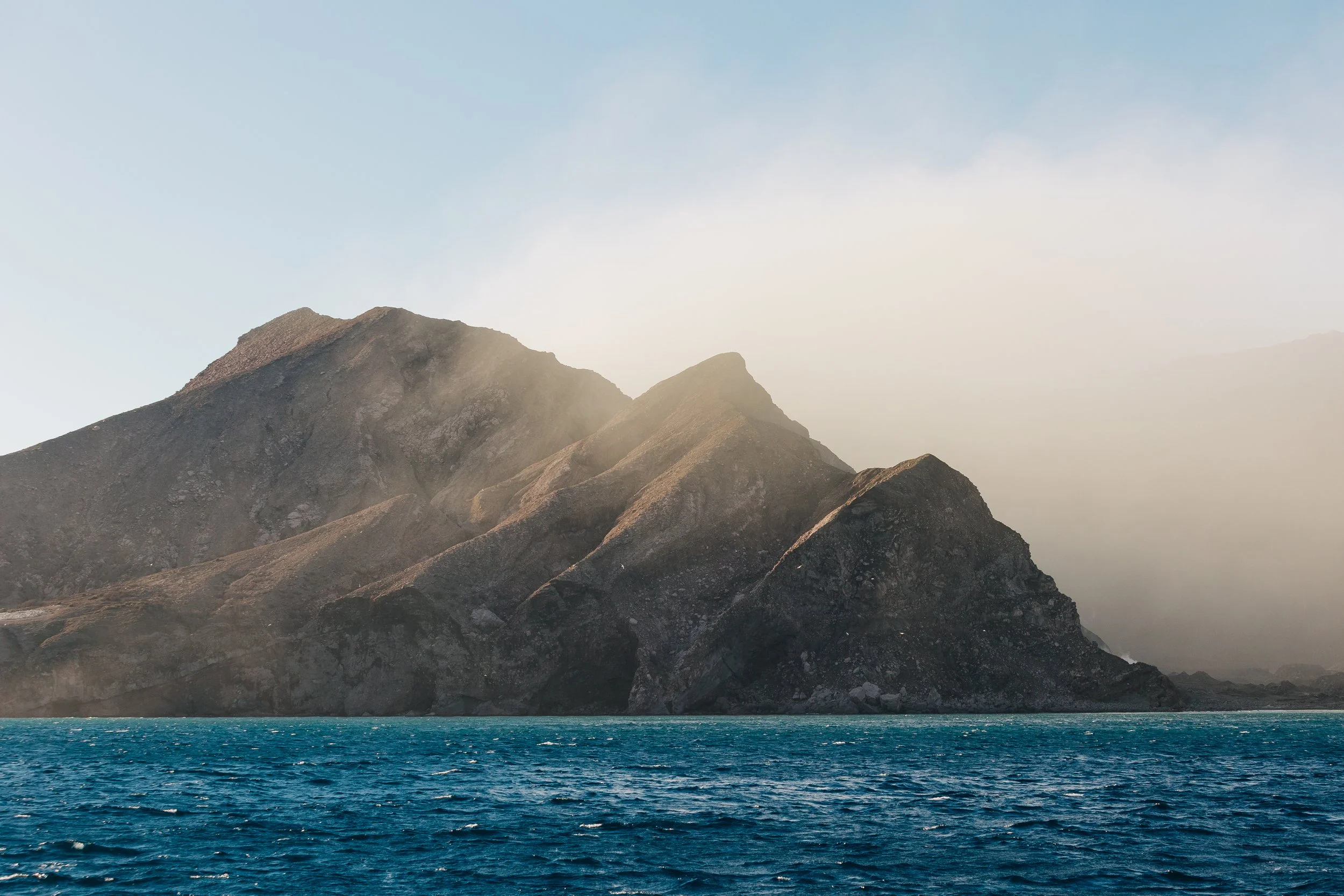
As we continued through the Bay of Plenty, the volcanic nature of the North Island was a theme that stayed with us: islands rose from ancient calderas, cones stood above towns, and geothermal landscapes hid beneath forests. As we sailed farther offshore, we began to get a glimpse of White Island (Whakaari), one of the most active volcanoes in New Zealand.What appeared from a distance to be a solitary volcanic island was really only the exposed summit of a much larger submarine mountain. Most of the volcano lies beneath the sea, with only a fraction of its total mass breaking the surface.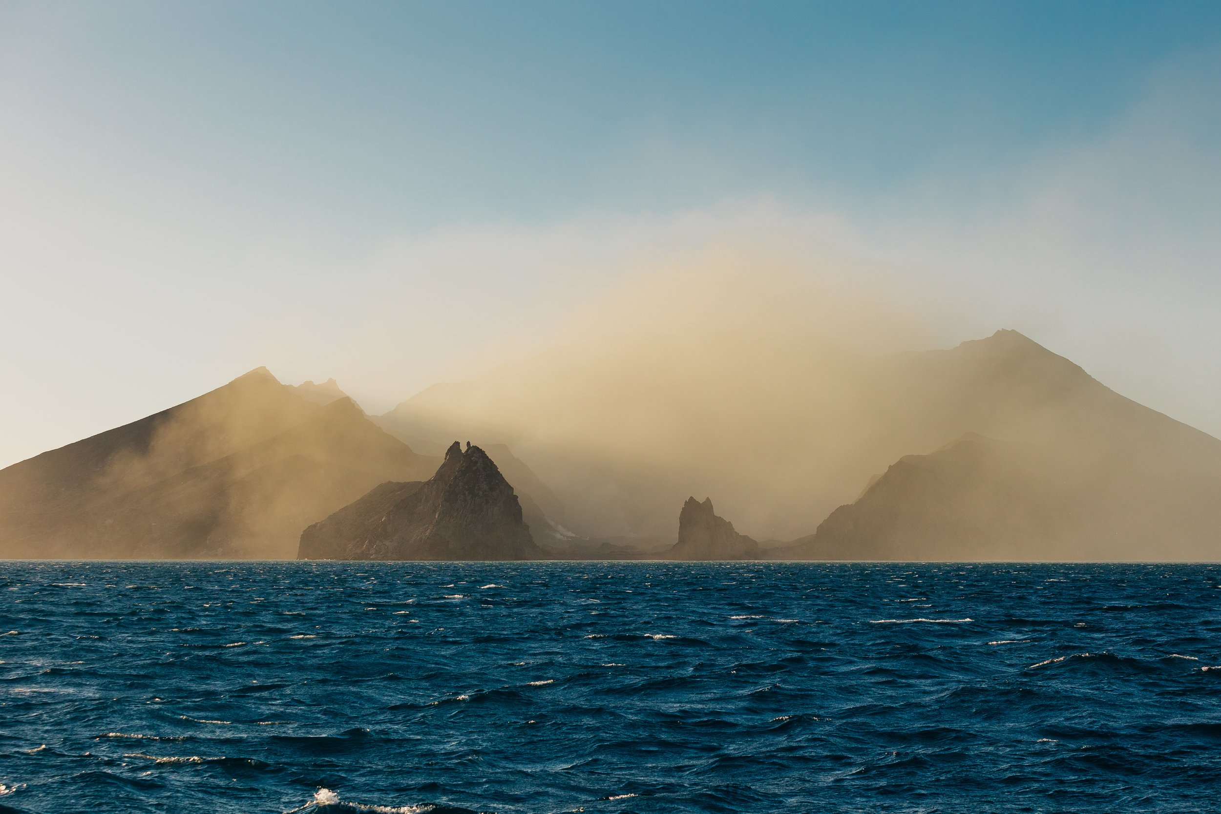
Whakaari / White Island
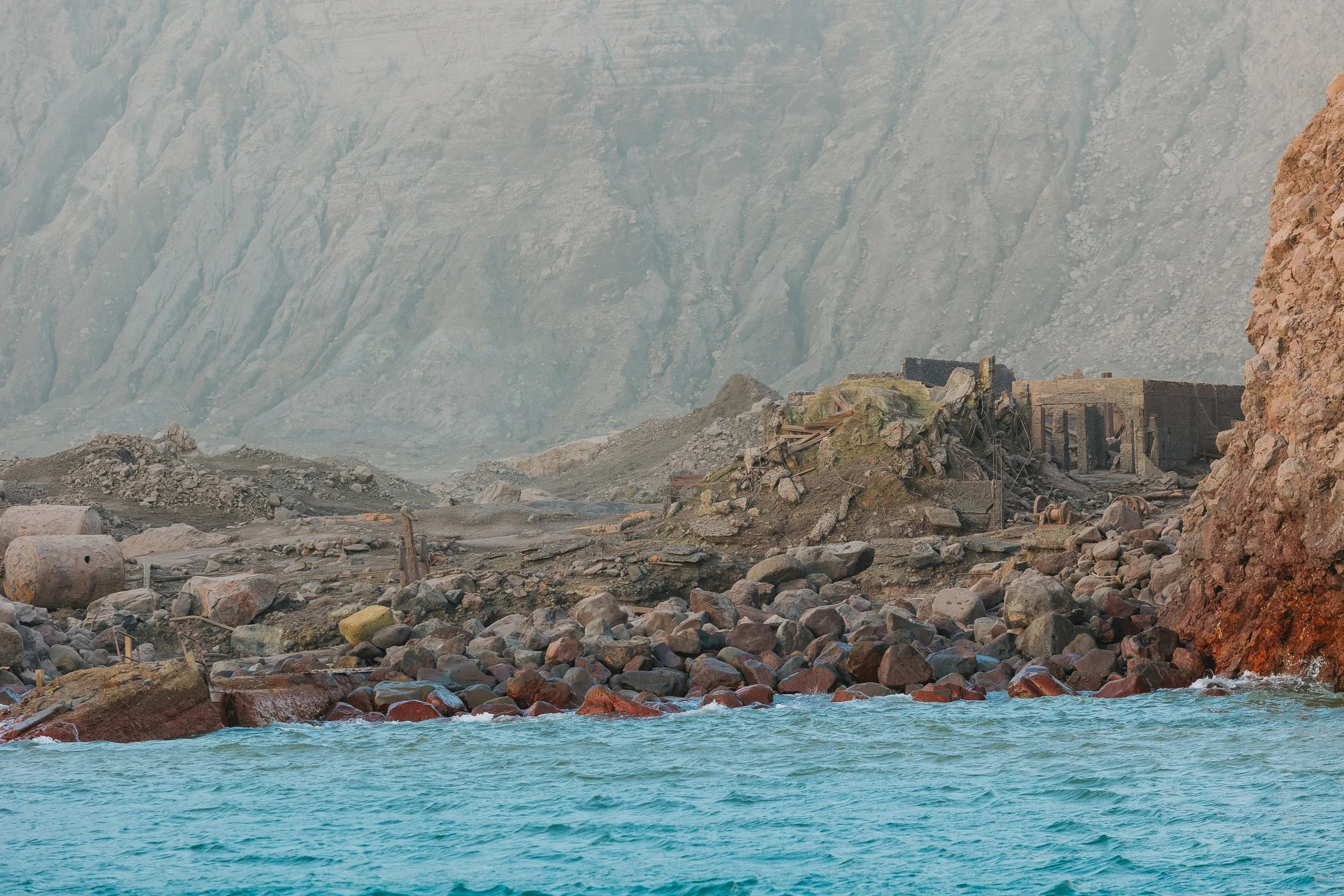
Cook saw the island from offshore in 1769 and named it White Island, apparently struck by its pale appearance. Curiously, despite the steam and other volcanic signs associated with Whakaari, he did not recognize it for what it was. The Māori name, Te Puia o Whakaari, speaks more directly to its volcanic nature. Whakaari has also carried a darker history. Sulfur was mined there intermittently in the nineteenth and early twentieth centuries, and a 1914 landslide killed workers on the island. More recently, the eruption of 9 December 2019 killed 22 people and profoundly changed how the island is understood and visited.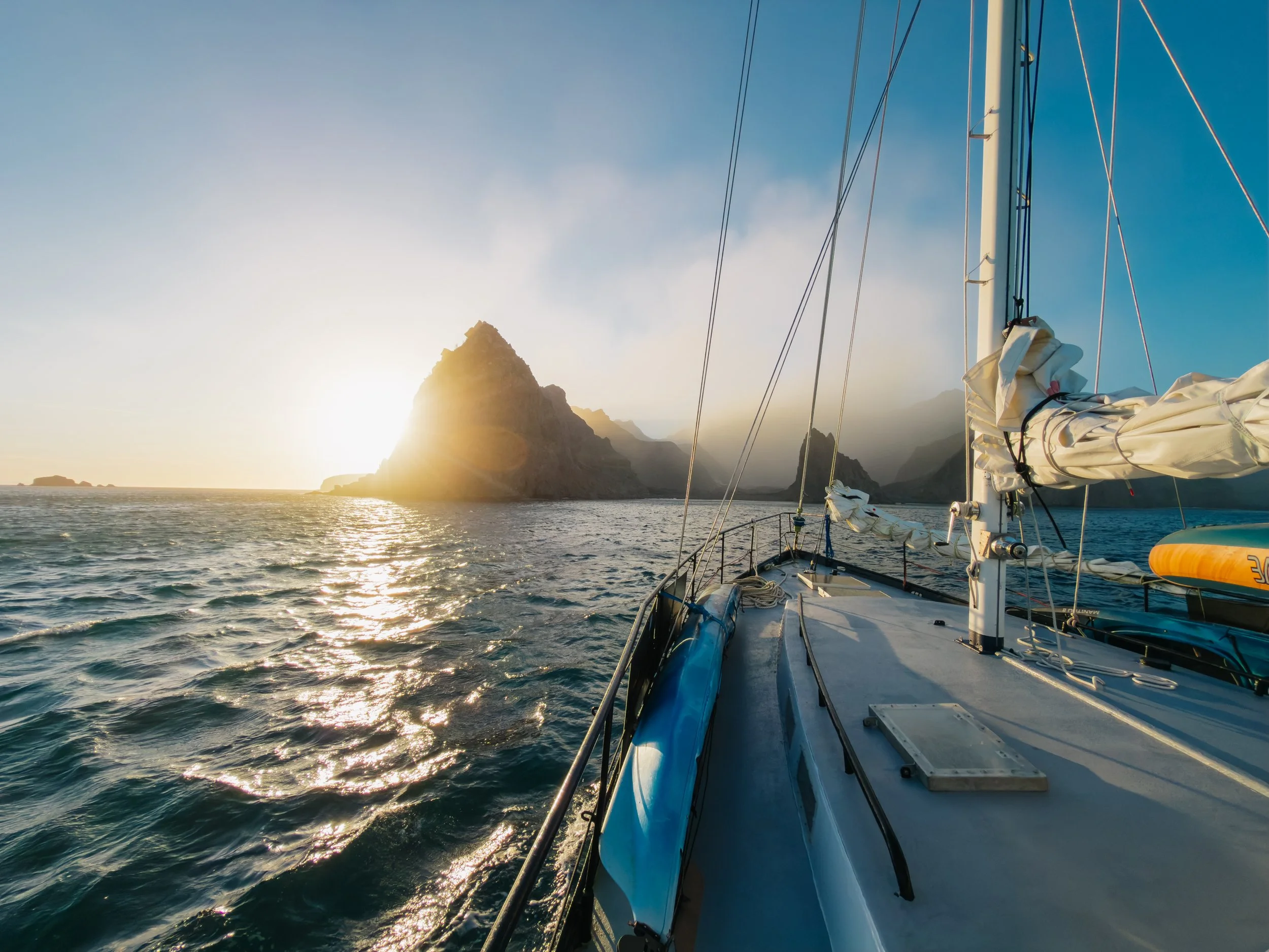
Whakaari / White Island
Whakaari / White Island
Whakaari / White Island
Whakaari / White Island
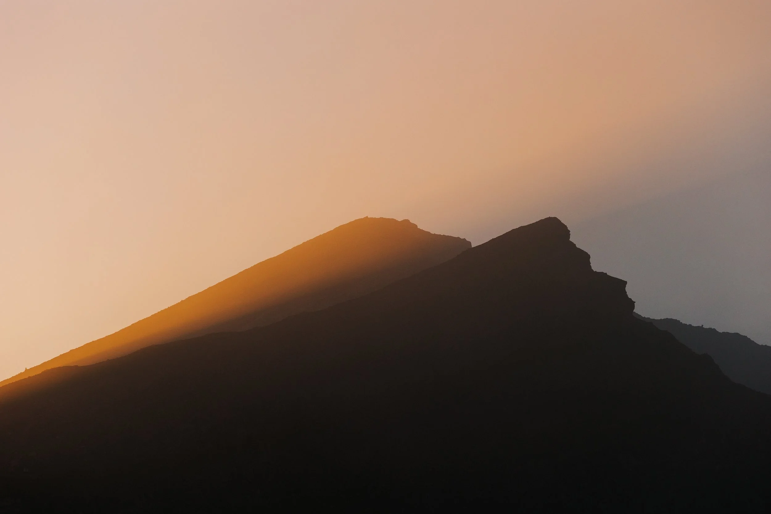
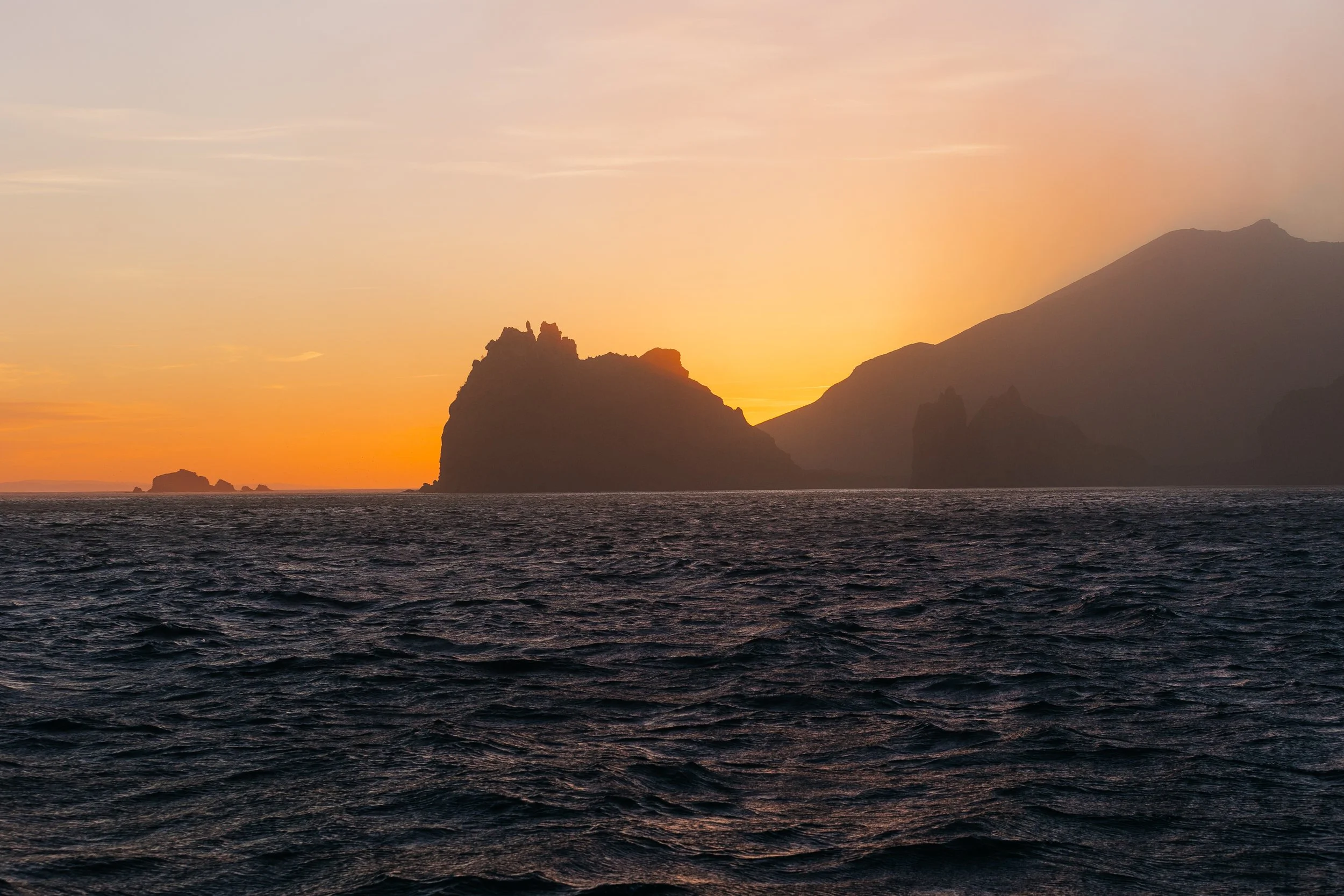
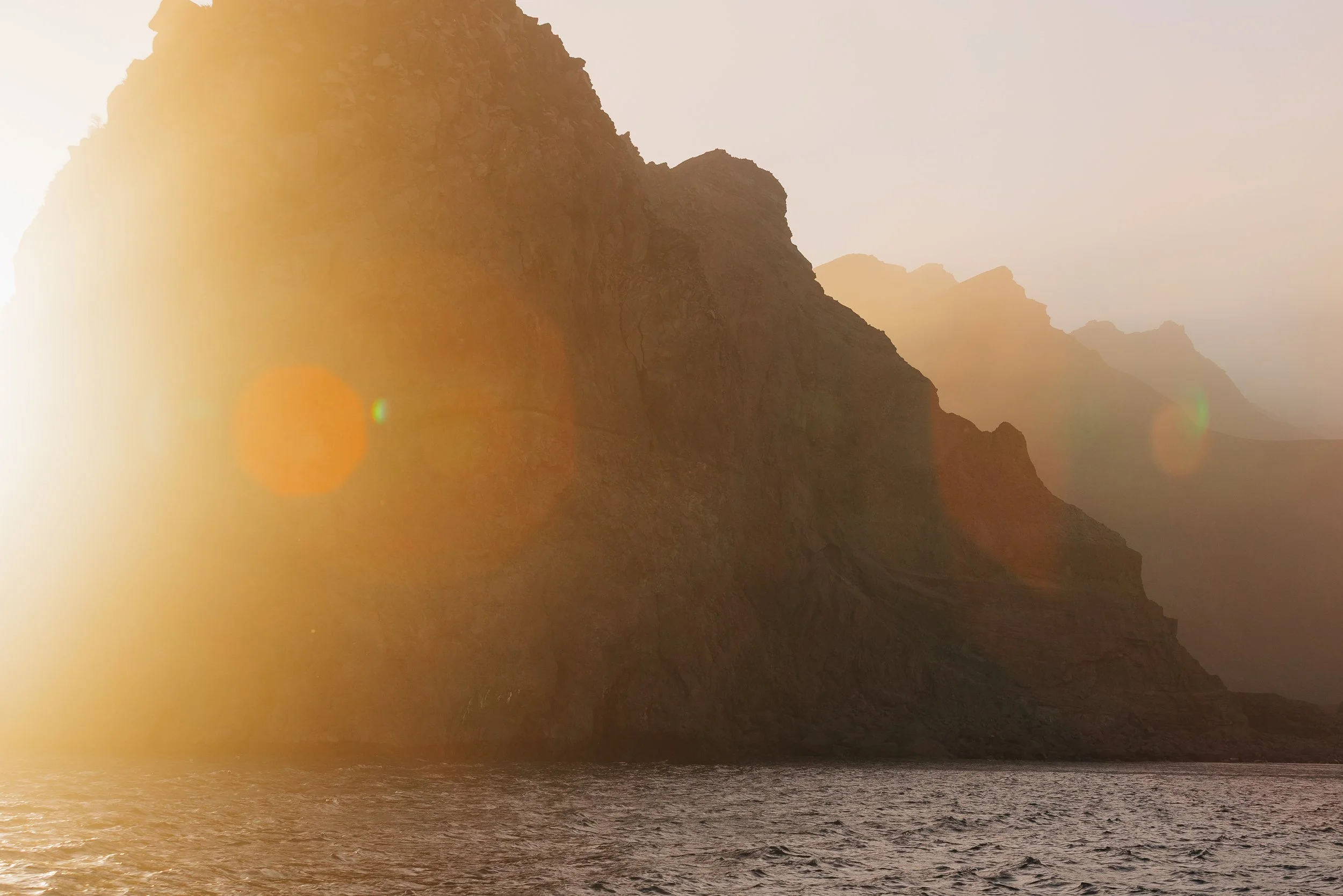
Seeing Whakaari offshore therefore carried a gravity beyond its dramatic appearance. This coast was beautiful, but it was also unmistakably geologically alive. It was late afternoon when we dropped our sails and turned Arcturus back toward the island, curious to see it more closely from the water. As we approached, the lowering sun caught the plume issuing from the crater, illuminating it in warm light while the dark volcanic slopes rose starkly from the sea. The whole scene felt otherworldly: a smoking mountain isolated in the Pacific, its scarred flanks glowing beneath the last light of the day.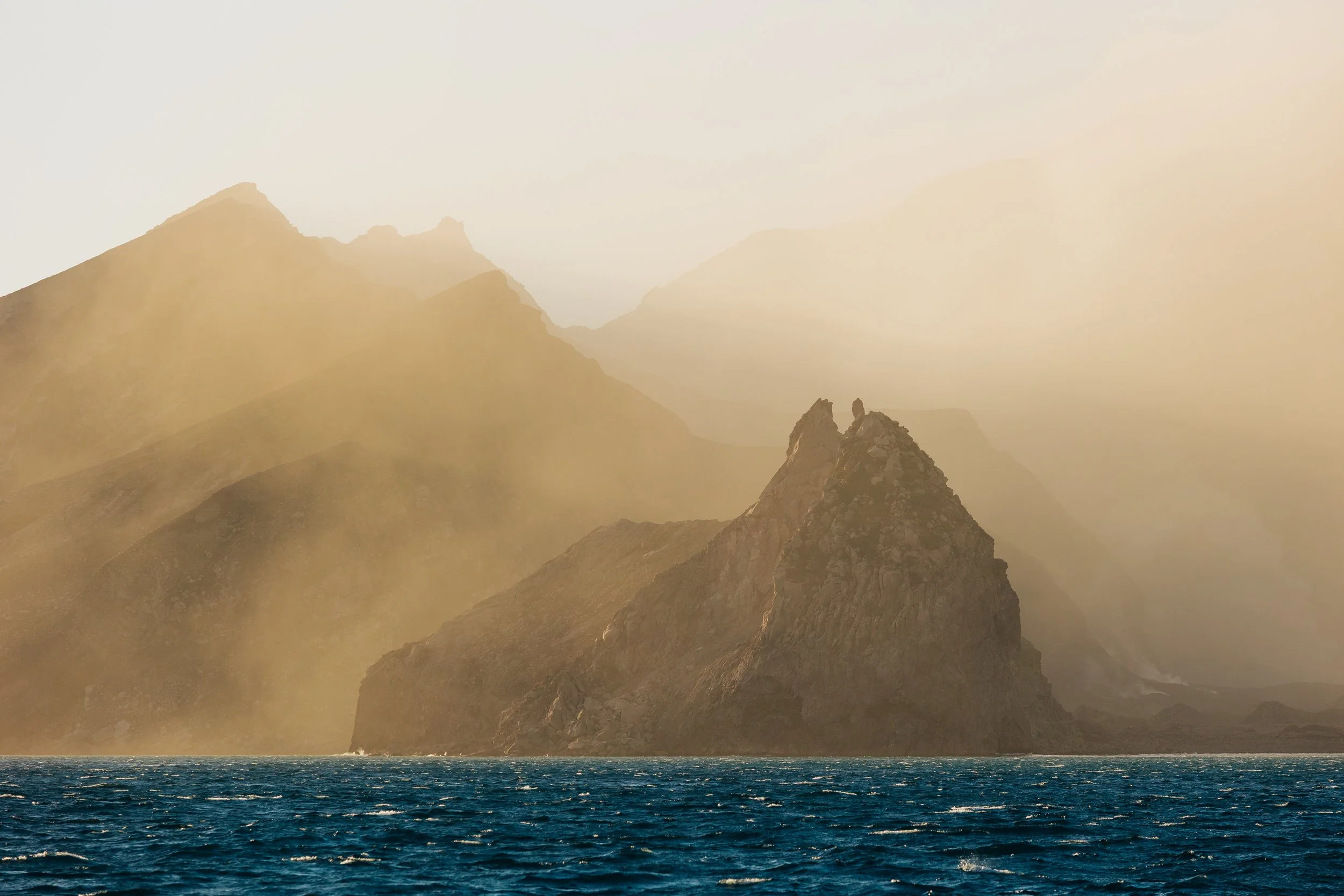
Whakaari / White Island
Whakaari / White Island
Whakaari / White Island
Whakaari / White Island
We spent some time circling offshore, debating whether to anchor nearby for the night or continue on. After about thirty minutes, the decision was effectively made for us. The volcanic gases drifting across the water had become noticeably irritating to our eyes and lungs, and lingering any longer no longer seemed particularly appealing. We turned away and continued sailing as the sun sank behind Whakaari, silhouetting the island beneath a glowing sky. The images I took that evening remain some of my favorites from our entire voyage, capturing a place that felt both beautiful and slightly ominous at once.We sailed overnight to Hicks Bay, where we anchored long enough to take a nap before continuing on toward Hawke's Bay and Napier.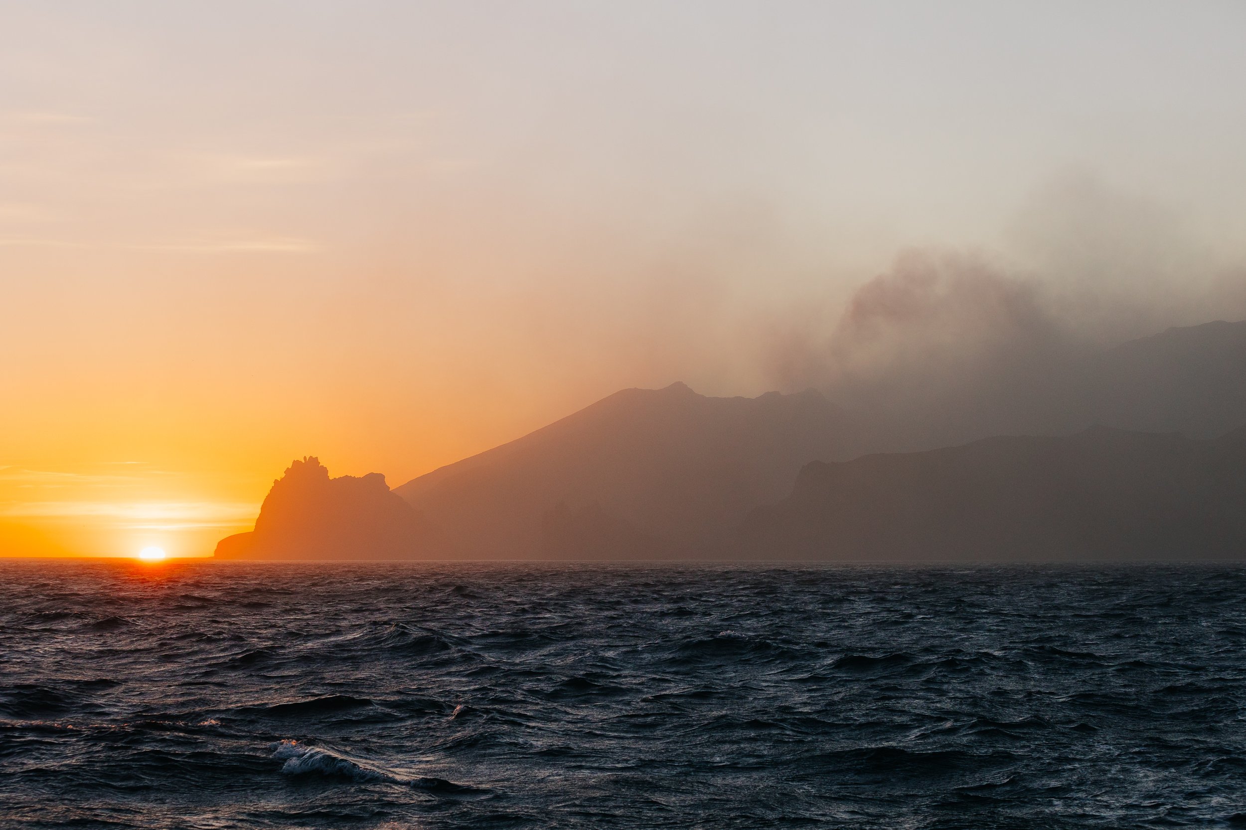
Whakaari / White Island
Napier (Ahuriri)
Our final major stop before pushing toward the South Island was Napier. We lucked out with extraordinarily calm conditions and anchored just off Westshore Beach on a bright, sunny day. The pale turquoise water around us lay almost perfectly still, strangely untouched by the ocean swell we had grown so accustomed to along the coast. Within ten minutes of dropping anchor, a Fish & Game boat approached Arcturus. I greeted them from the deck as they called out friendly hellos, complimented the boat, and asked where we were from.“Alaska!” I replied enthusiastically. “Wow, Alaska, eh? Long way from home,” one of them said, before pausing and adding, “Are you lost?” We all laughed, and it was then that I gathered they probably did not see many cruising sailboats passing through. Before heading off, they told us to contact them if we needed anything, another small but memorable example of the Kiwi kindness we had encountered again and again.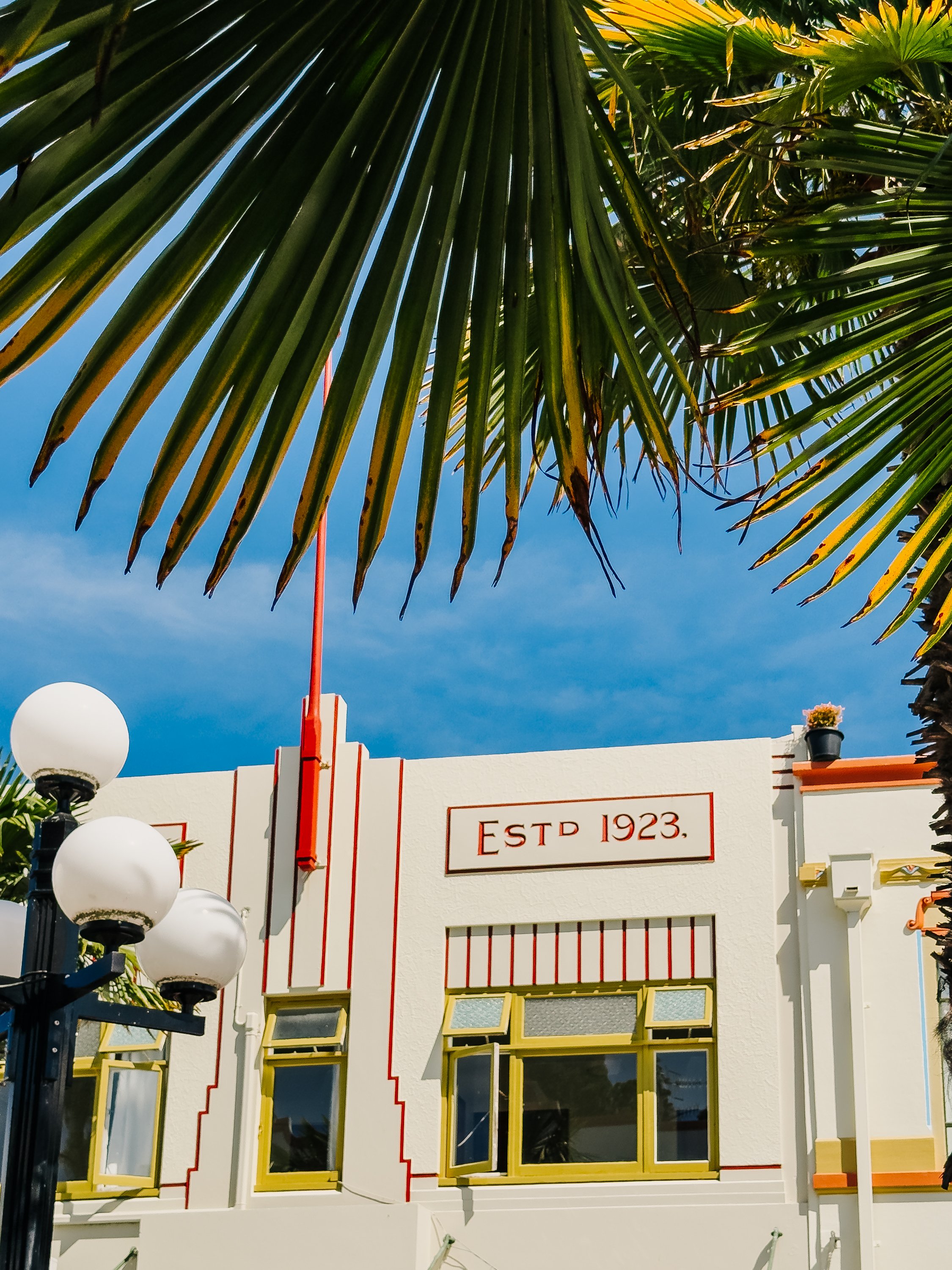
Napier
Napier
Napier
Napier
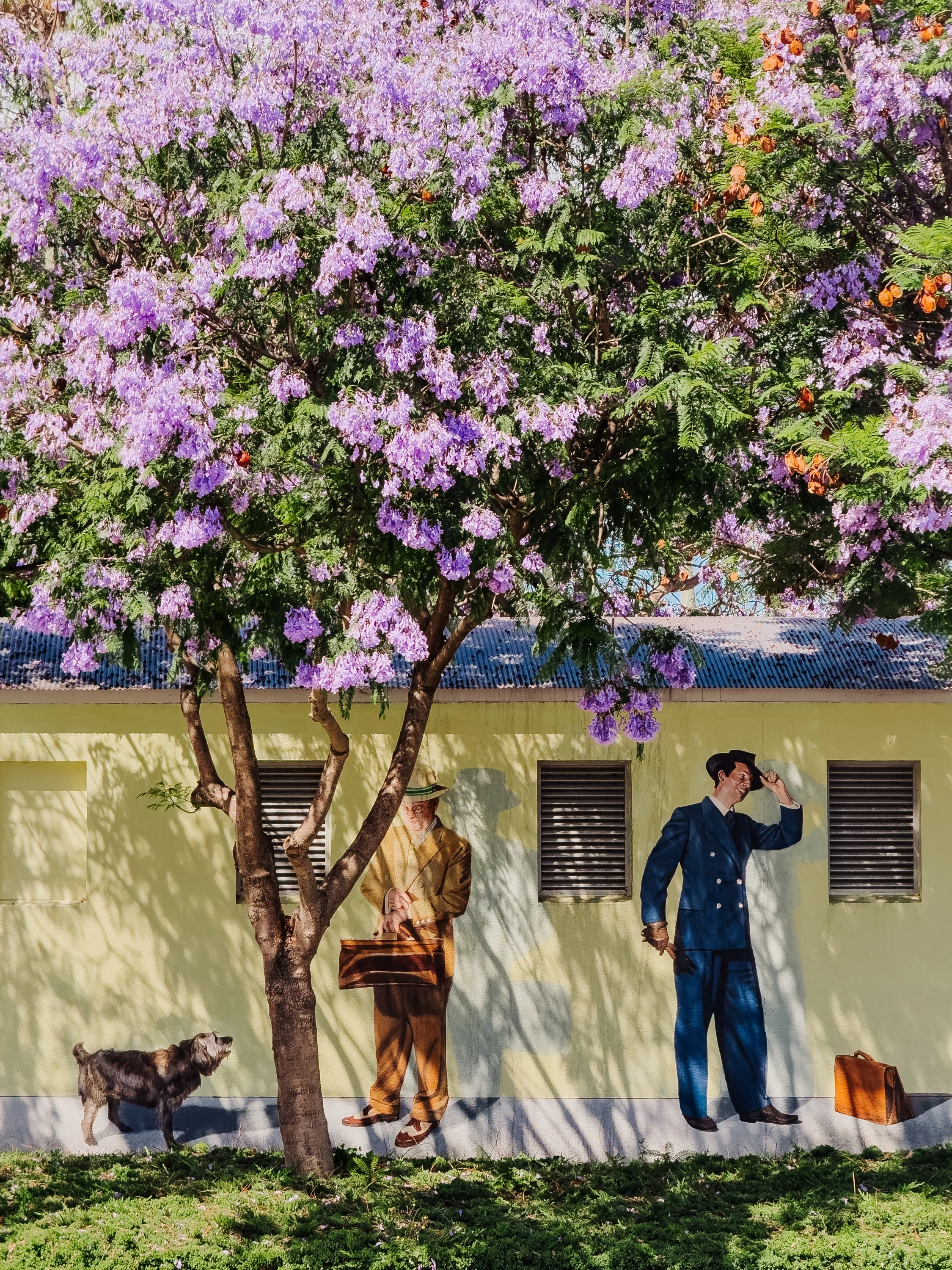
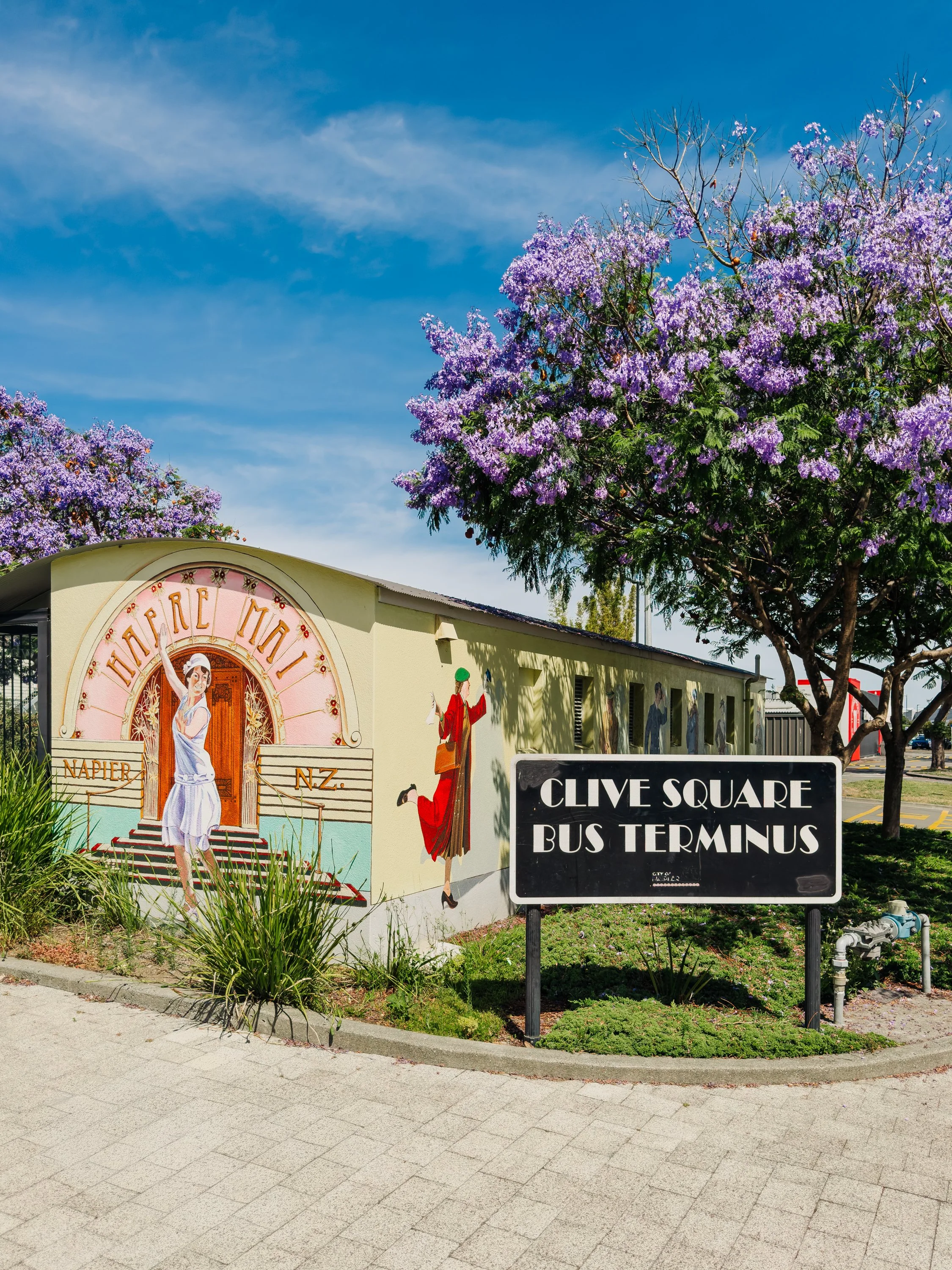
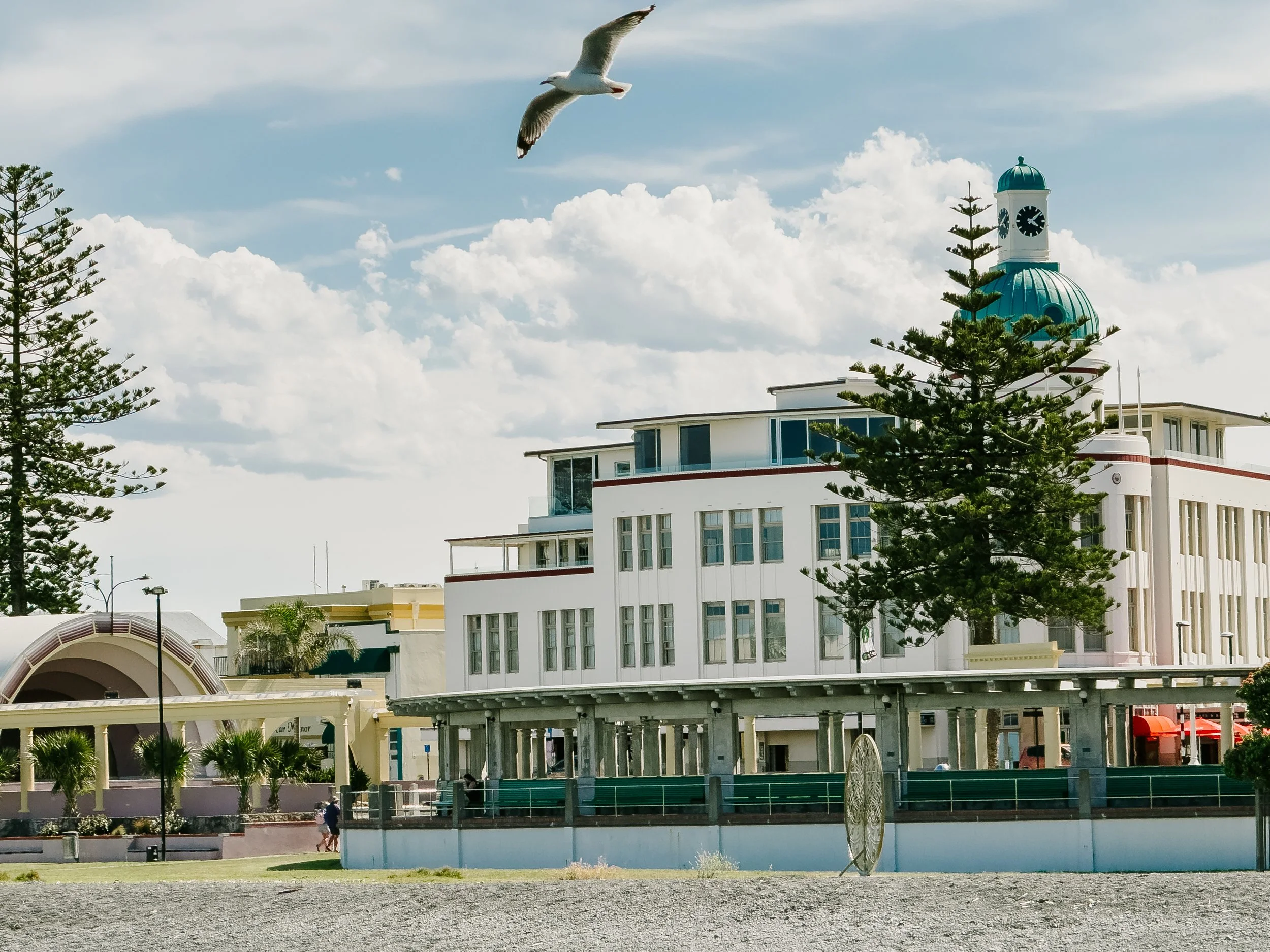
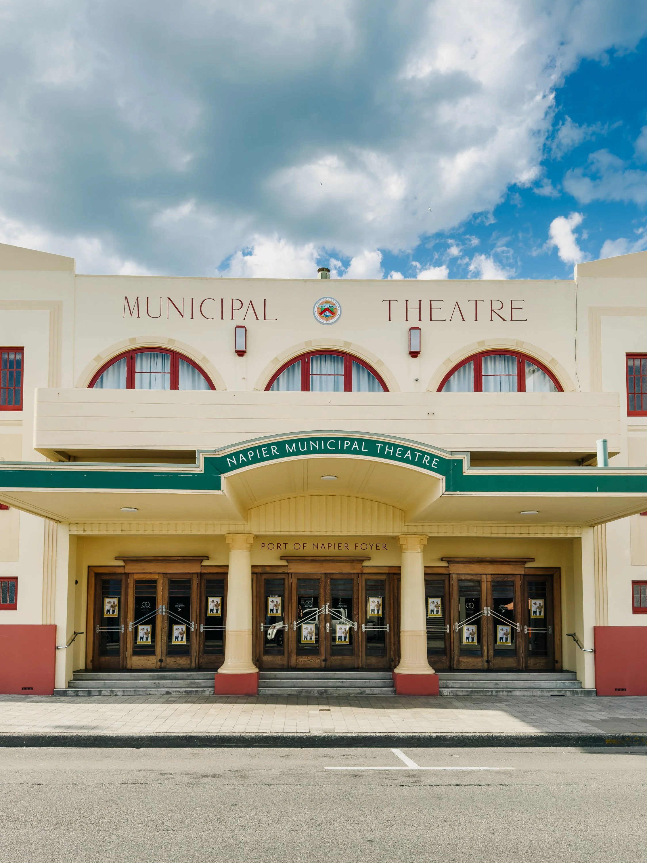
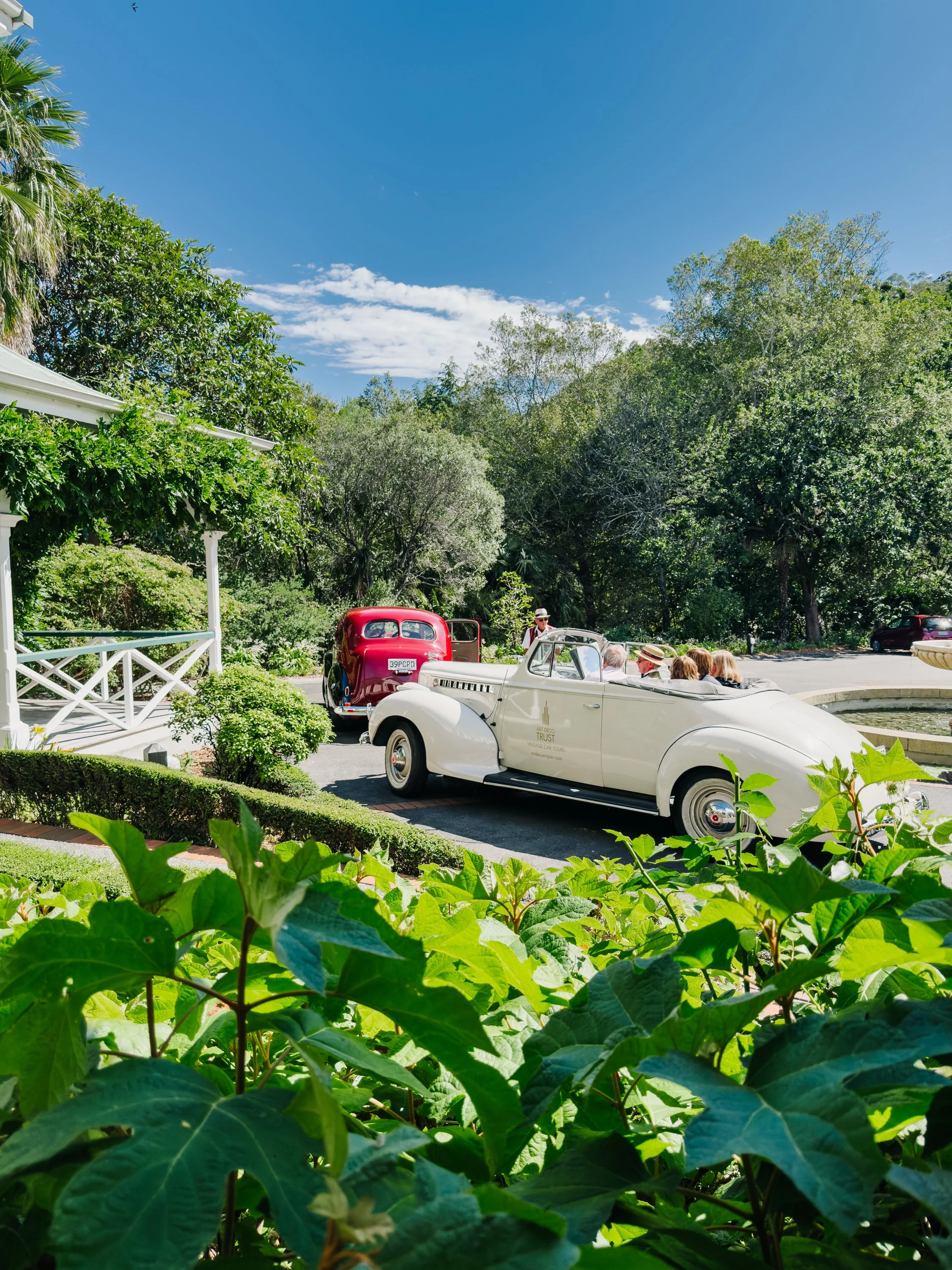
The city felt unlike anywhere else we had visited in New Zealand. Walking its streets was almost like stepping into another era. Pastel façades, geometric ornamentation, curved windows, and stylized lettering gave the city an unmistakably Art Deco character. But the architectural uniformity is not accidental. On 3 February 1931, a magnitude 7.8 earthquake devastated Hawke's Bay. Buildings collapsed across Napier and Hastings, fires swept through the city center, and 256 people were killed in what remains New Zealand's deadliest natural disaster.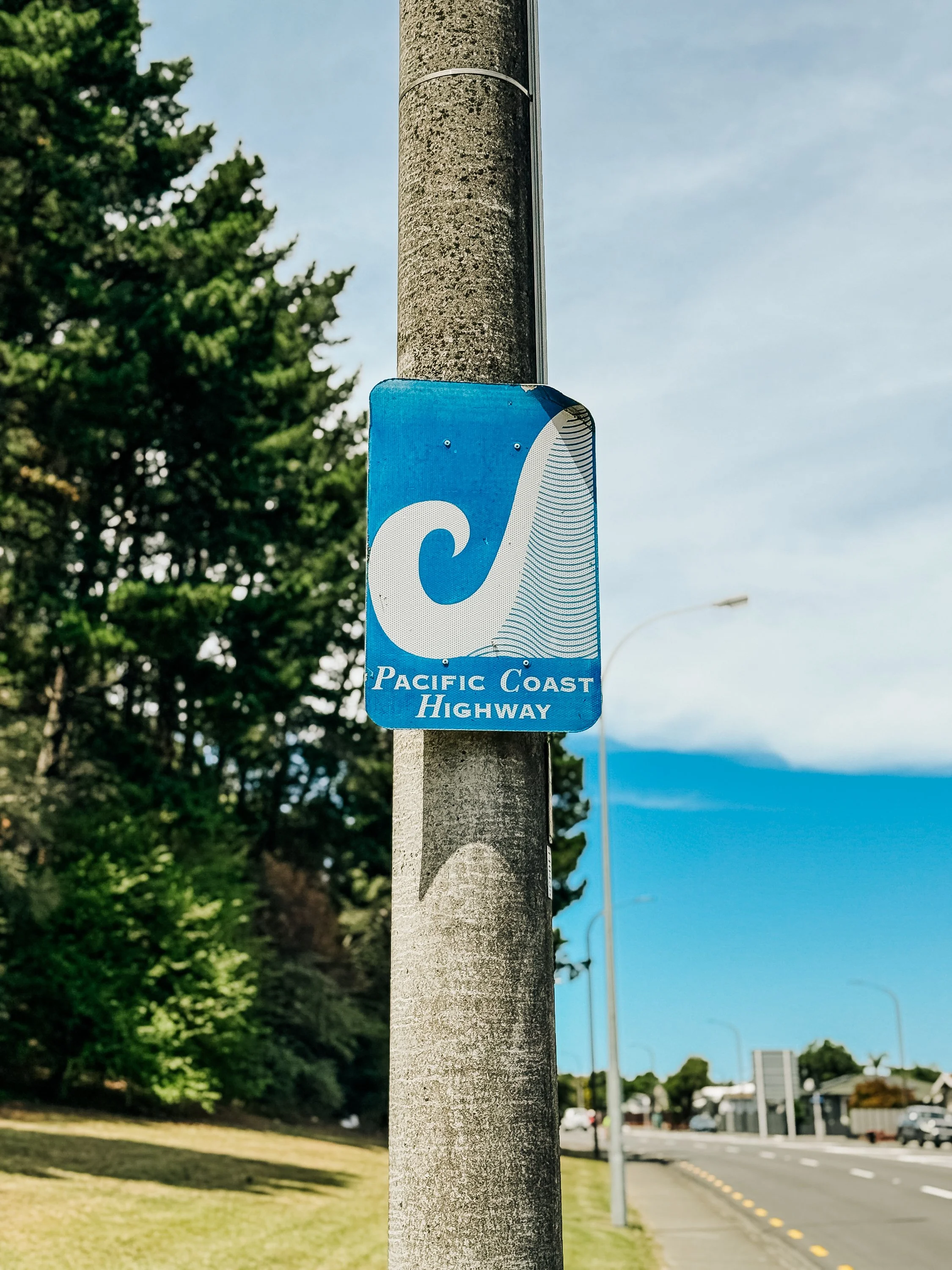
Napier
Napier
Napier
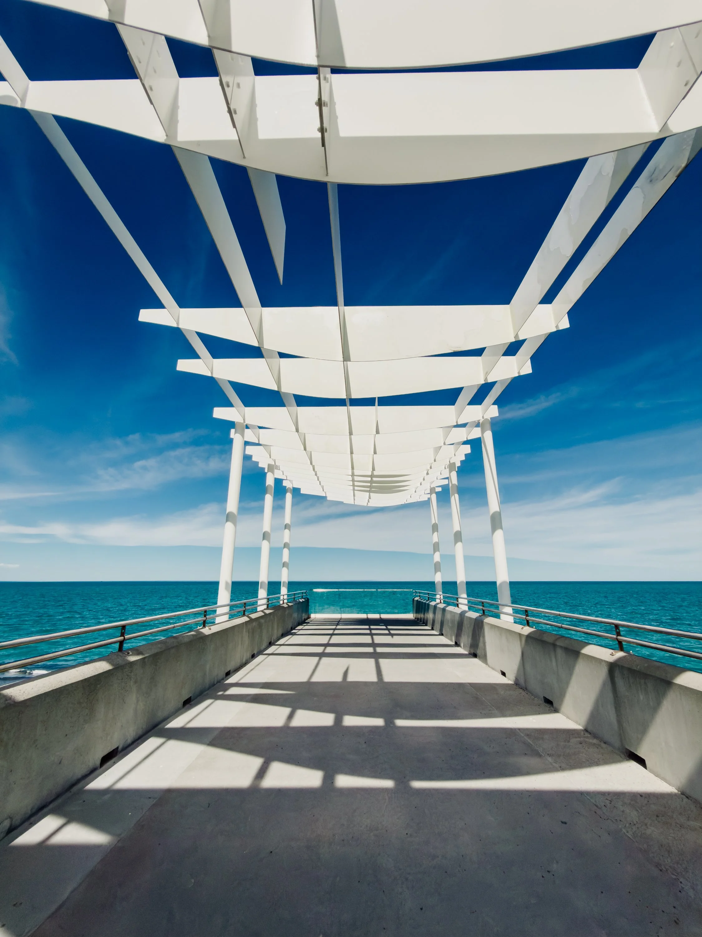
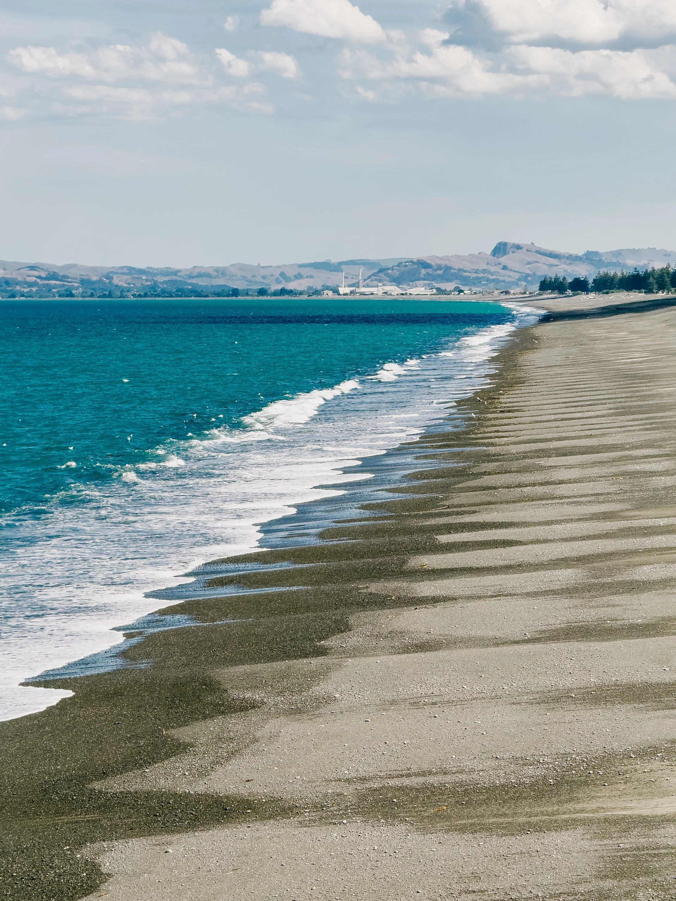
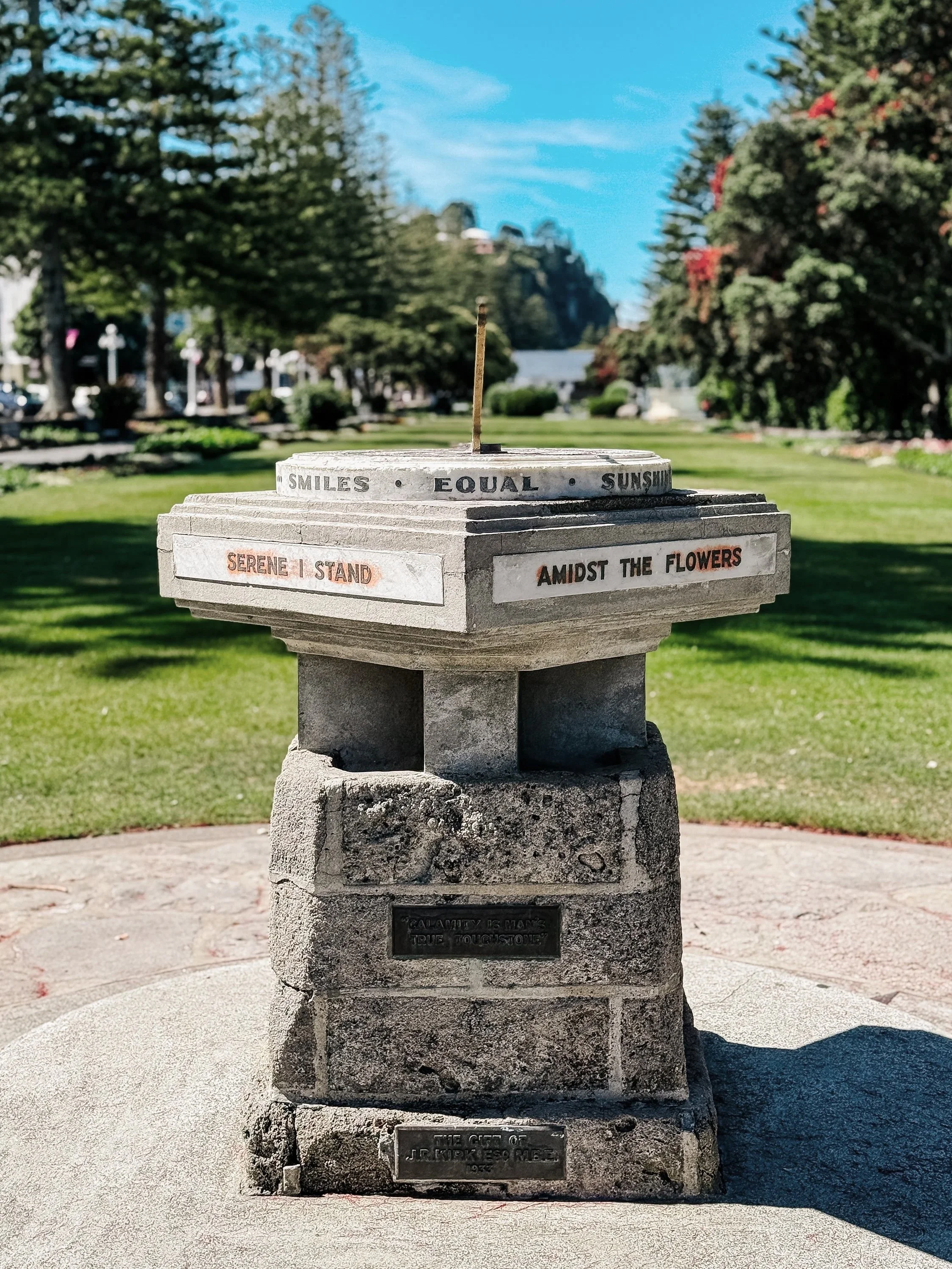
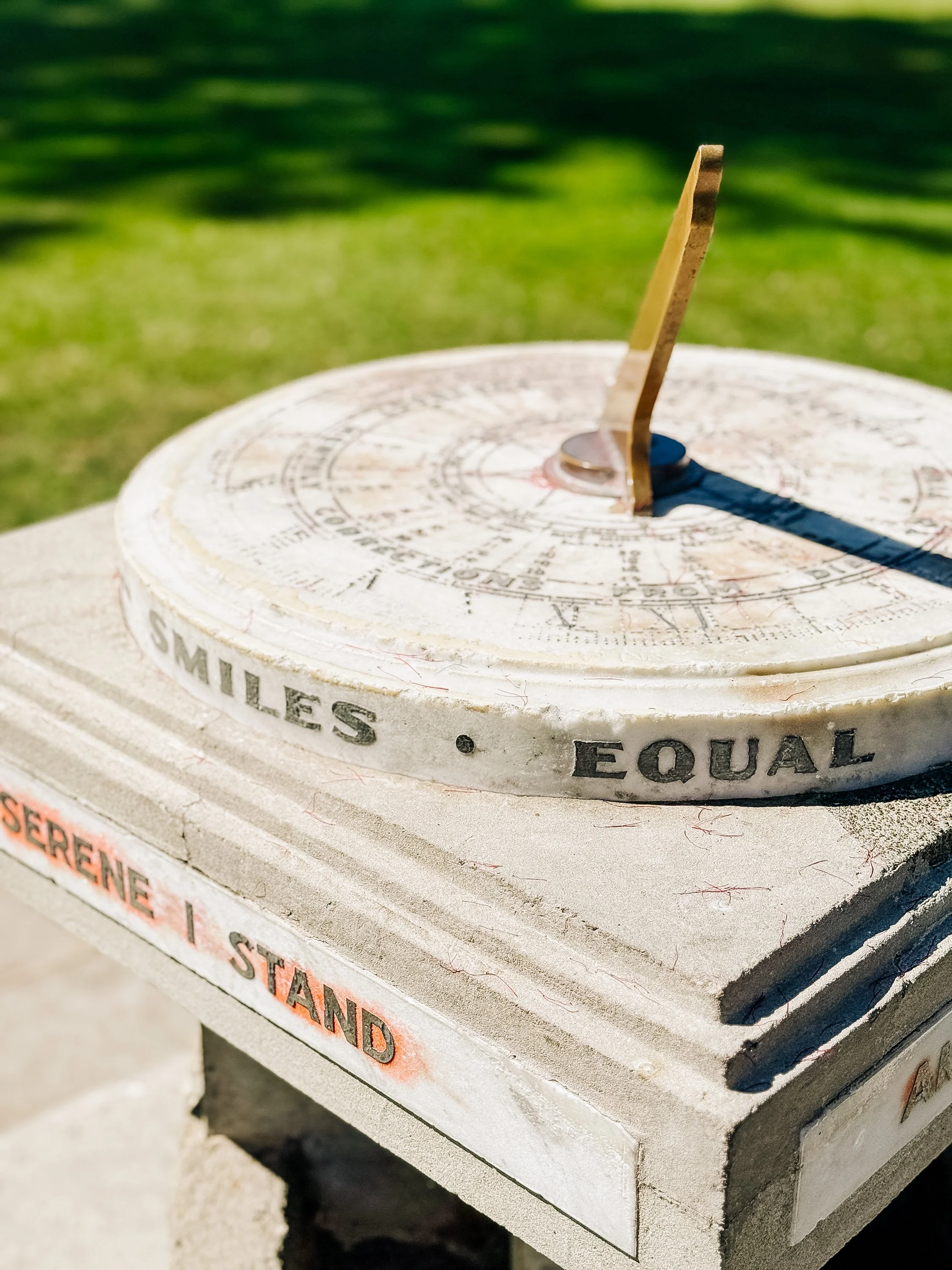
But the earthquake did more than destroy buildings; it also physically remade the coastline. Parts of Hawke's Bay were uplifted by more than two meters. Large areas of the Ahuriri Lagoon, once an extensive tidal and wetland environment, drained as the land rose. More than two thousand hectares of new land emerged, some of which would eventually become farmland, suburbs, and even part of Napier's airport. The idea fascinated us. This was not simply a city rebuilt after an earthquake. It was a city standing on a landscape the earthquake itself had partially created.Because so much of central Napier had to be reconstructed at once, rebuilding took place during the height of the Art Deco era, drawing from architecture and design that were popular in major cities such as New York and Paris at the time. The clean geometric forms fashionable in the early 1930s also lent themselves well to the new emphasis on safer construction. The result was an unusually cohesive architectural time capsule.For two people endlessly fascinated by geology, geography, and the strange intersections between human history and landscape, Napier was difficult not to love. We walked along Marine Parade, visited the waterfront gardens, stumbled upon a mini-golf course and played a round, and spent hours admiring the city's unique architecture. We also learned that every February Napier hosts an Art Deco Festival, which we immediately decided we would have to return for someday.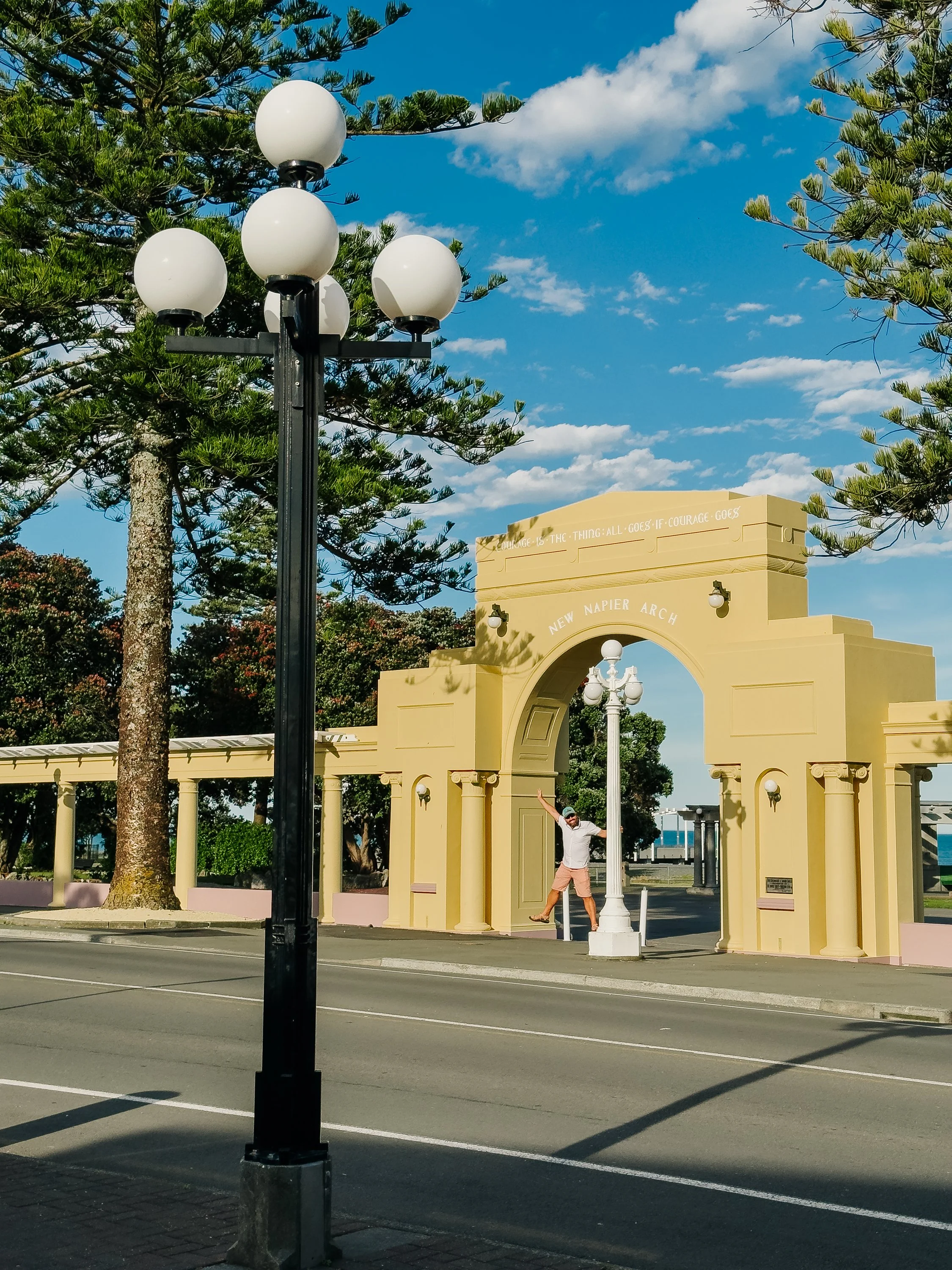
Napier
Napier
Napier
Napier
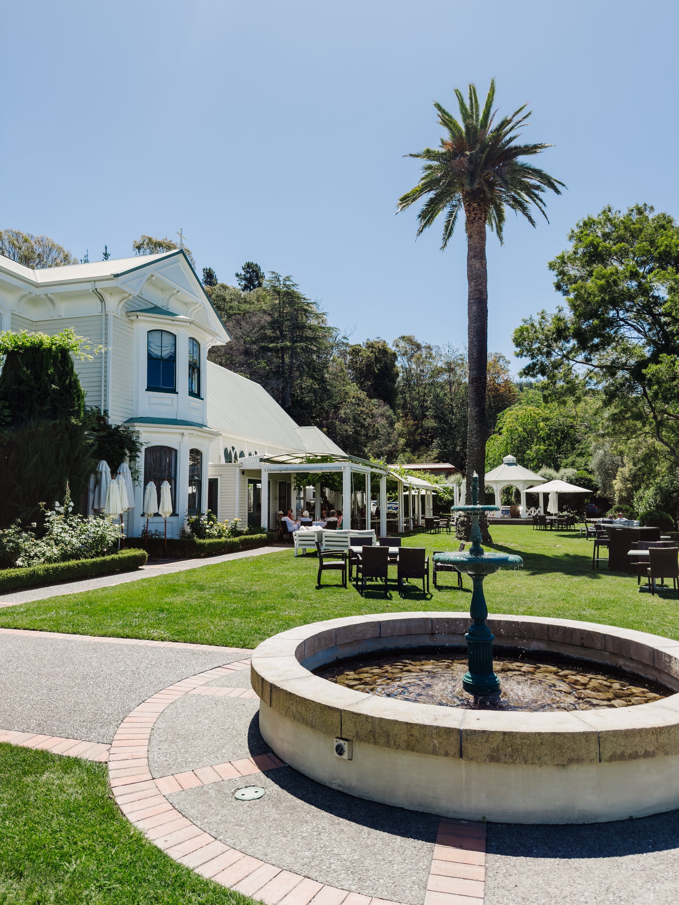
Hawke's Bay offered another attraction as well: wine. We visited Mission Estate, established in 1851 by French Marist missionaries and recognized as New Zealand's oldest surviving winery. After weeks of arriving in places by dinghy, hiking muddy trails, and chasing weather windows, sitting among vineyards overlooking Hawke's Bay felt almost suspiciously civilized. But that, we were discovering, was the North Island.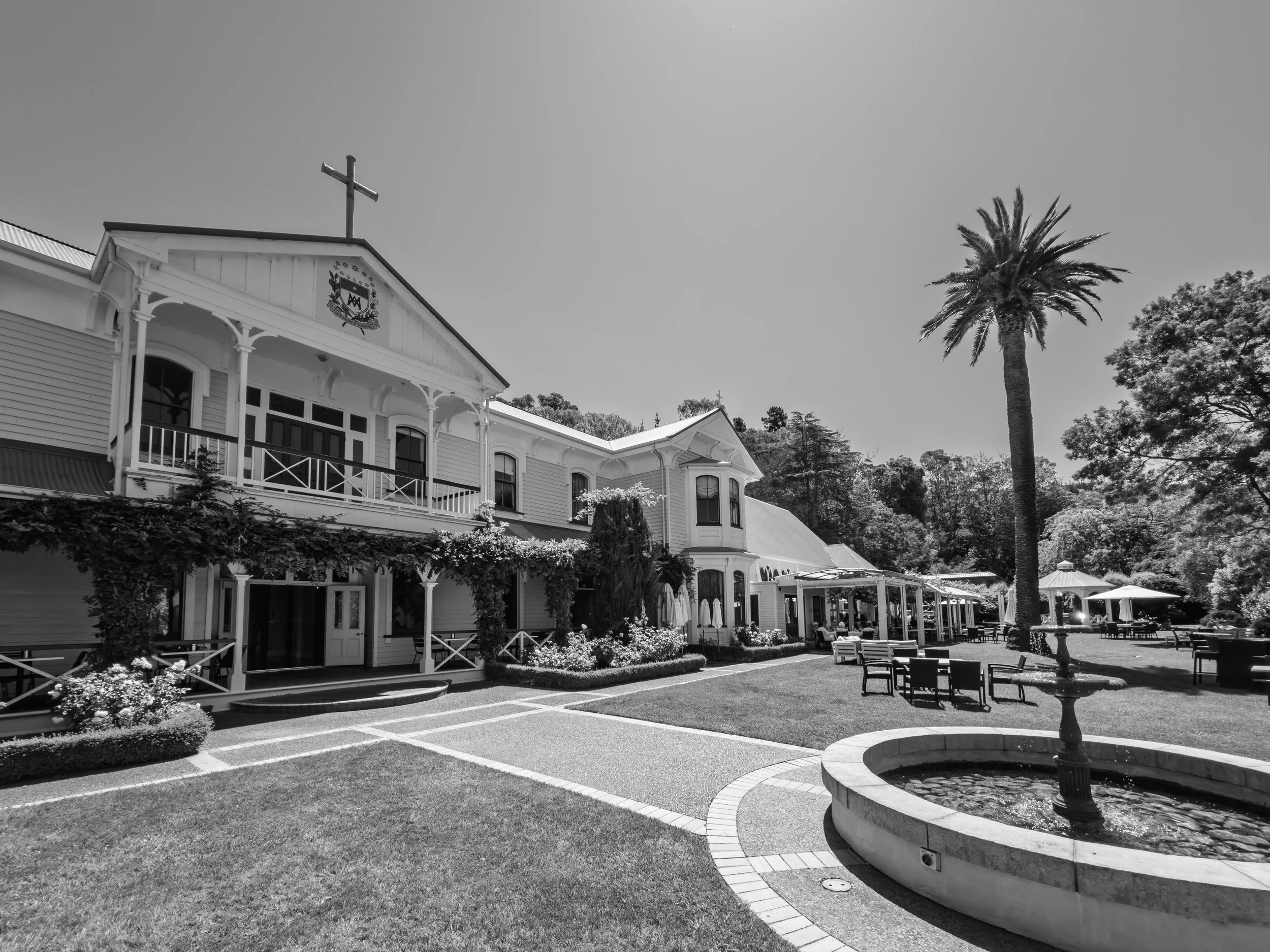
Napier
Napier
Napier
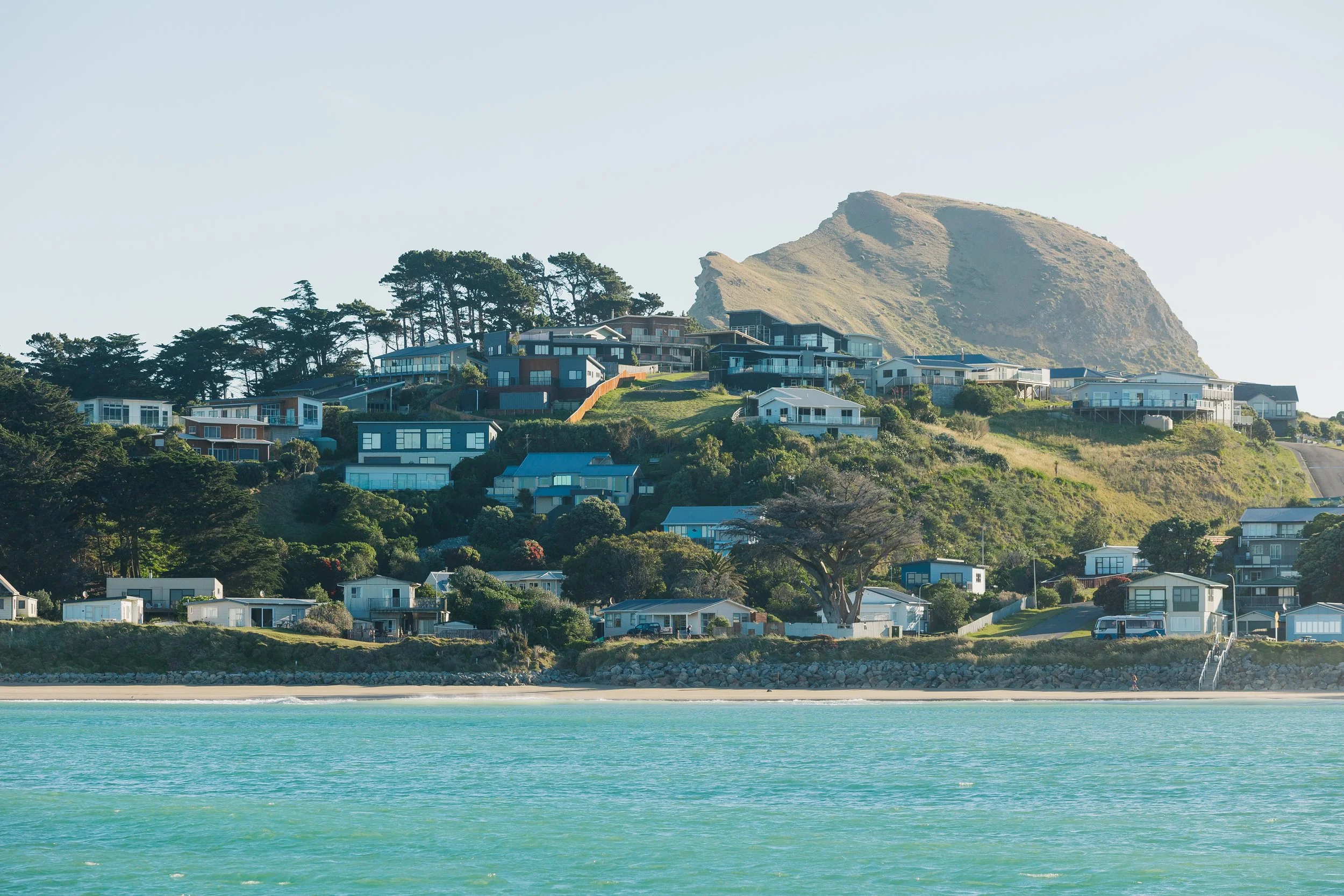
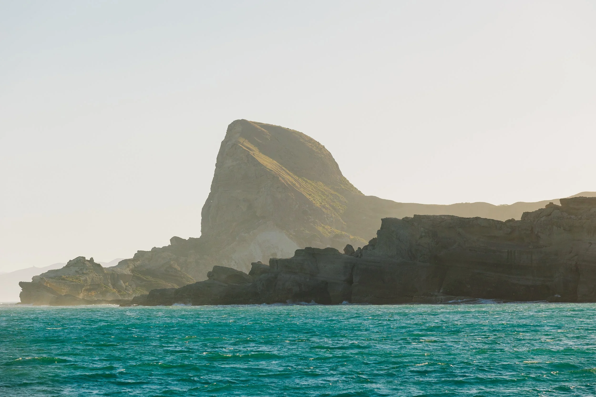
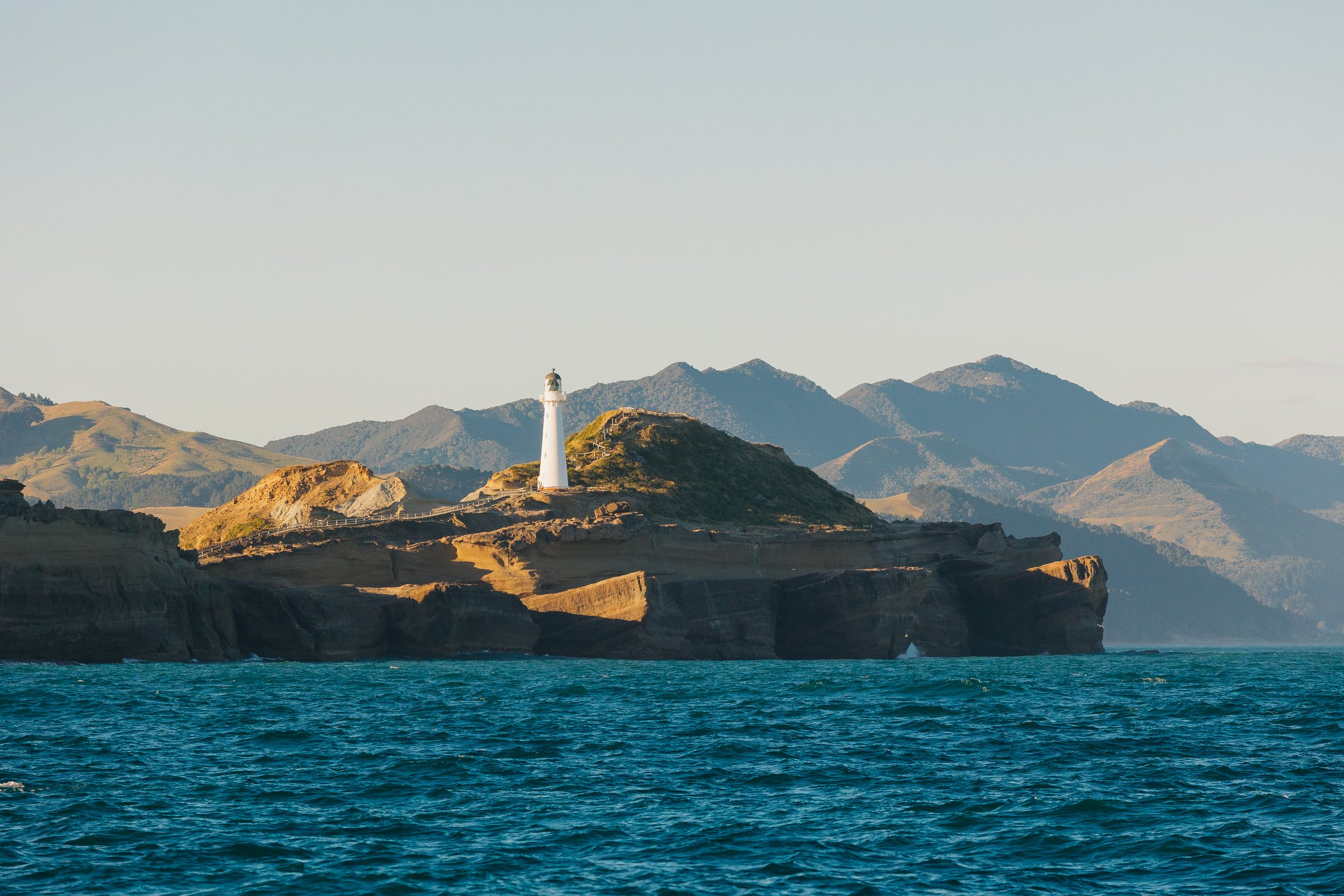
By the time we began our final push south, the North Island had already overturned nearly every expectation we had carried into the country. Ahead of us lay a brief stop over at Castlepoint to sleep and get a view of their lighthouse, before pushing onto Cook Strait and the South Island, where the geography would grow larger, wetter, colder, and considerably more dramatic. Soon, Arcturus would be sailing toward the mountains and fiords we had dreamed about long before reaching New Zealand at all. At this point, with mid-December’s summer weather upon us, we thought we were saying our final farewell to the north island… But little did we know, that our course would change again come autumn, and we would find ourselves here once more.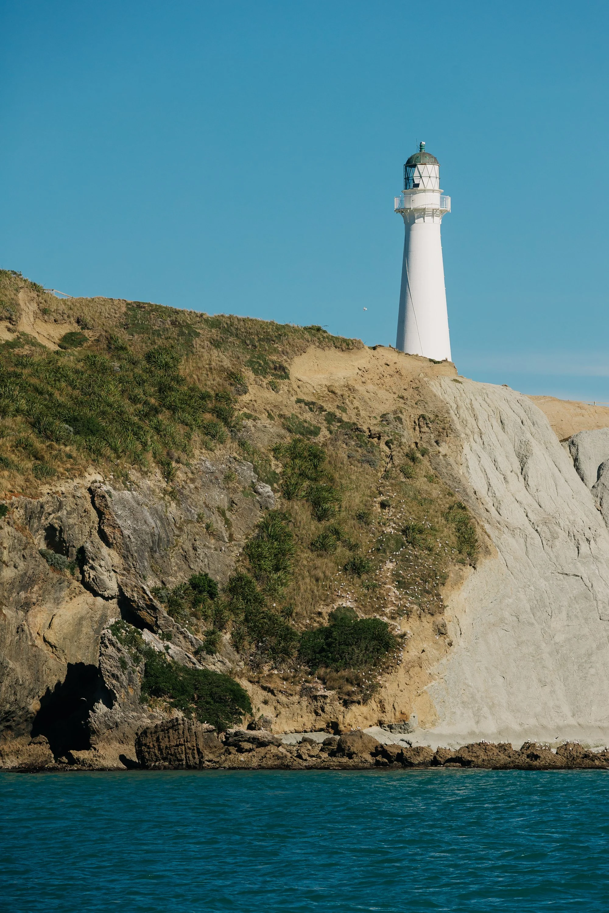
Castlepoint
Castlepoint
Castlepoint
Castlepoint
An Autumn Return to the North Island
Months later, in April 2026, our route would eventually bring us back to the western side of the North Island: the coast we had originally intended to sail at the beginning of our journey. By then, we had circumnavigated much of New Zealand and understood the country very differently. Our original plan had been to cross to Australia from Nelson on the South Island, but conflict in the middle east had led to Australia declaring a diesel shortage and rationing diesel. We also kept not getting a good weather window for the crossing as we monitored the weather throughout the month of March. Our changes of plans lead us to decide to haul Arcturus out of the water for 6 months and return to Alaska to work over the northern hemisphere summer. Our final northern passage brought us through places such as New Plymouth, Raglan, and Hokianga before eventually rounding Cape Reinga, effectively closing a loop that had begun nearly five months earlier in the Bay of Islands. There was something fitting about finally arriving along the coast we had once waited so patiently to sail. We simply had to travel around almost the entire country to get there.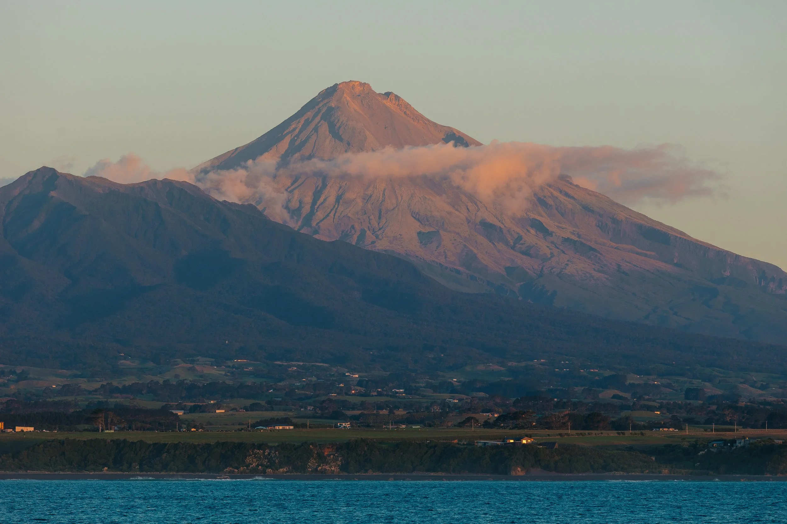
Mount Taranaki
New Plymouth (Ngāmotu)
With a favorable weather window ahead of us, we set off north from Nelson with our sights on New Plymouth. Looming over the city is Mount Taranaki, the nearly symmetrical volcanic cone that had been on my photographic bucket list since our arrival in New Zealand. More specifically, I had wanted to photograph Cape Egmont Lighthouse with the mountain rising behind it. The lighthouse itself has an interesting history: its cast-iron tower was originally erected on Mana Island near Wellington in 1865 before being dismantled and relocated to Cape Egmont in 1881.We sailed into New Plymouth near sunset and anchored for the evening inside the small protected breakwater. In a fun coincidence, one of our sailing friends, whom we had grown close with earlier in the voyage, happened to be passing through New Plymouth at the same time on a campervan road trip with one of her friends. They offered to meet us in town the next day and drive us out toward the lighthouse for sunset, which felt like perfect timing.Before meeting up with them, we wandered through Puke Ariki, New Plymouth's free museum and cultural center, which combines local history, natural heritage, Māori stories, a library, and research collections beneath one roof. From there, we piled into the van and headed west toward Cape Egmont.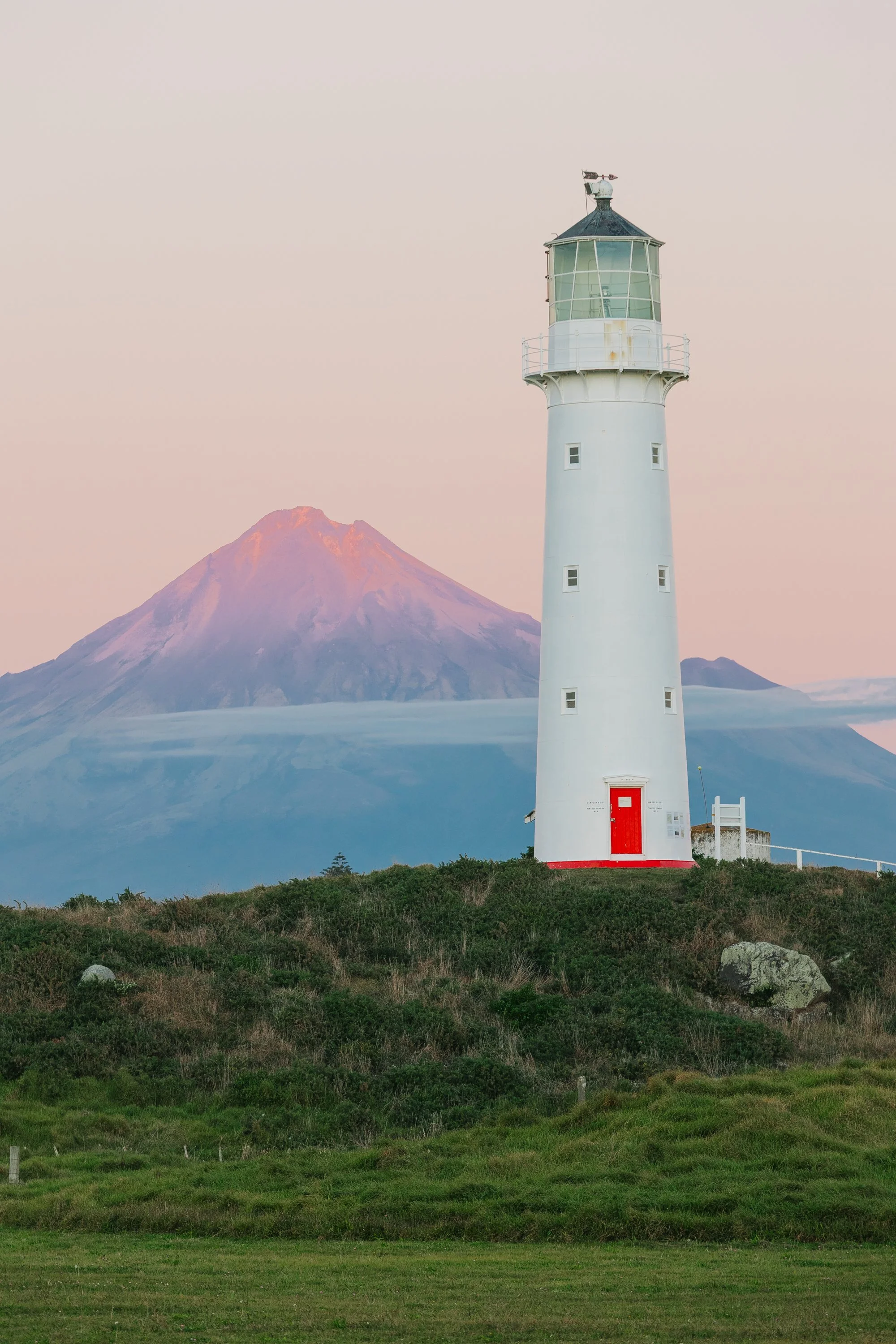
Mount Taranaki
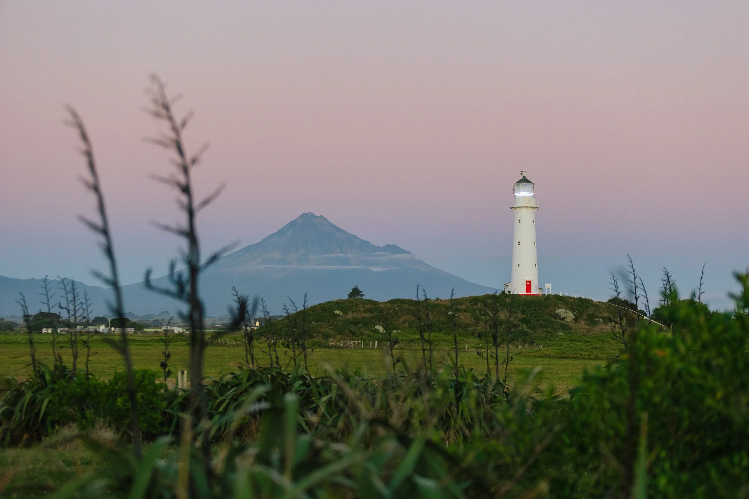
Mount Taranaki
We could hardly have timed it better. As we arrived, the sun began sinking into the Tasman Sea, casting warm light across the lighthouse and the broad flanks of Mount Taranaki beyond. Then, just as the sun disappeared below the horizon, the moon began rising behind the lighthouse and volcano. It felt almost absurdly well choreographed, the sort of fleeting alignment that a photographer could plan for weeks and still fail to catch.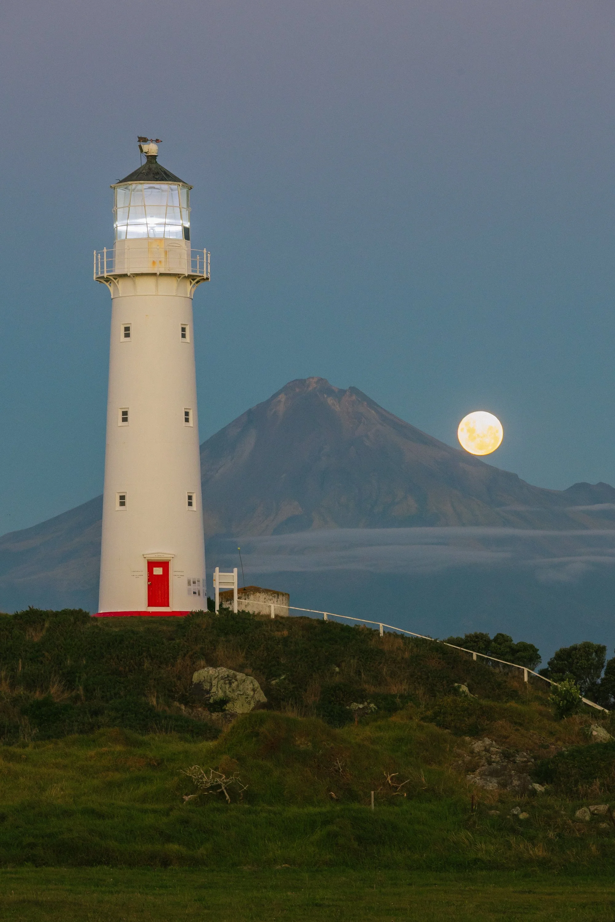
Mount Taranaki
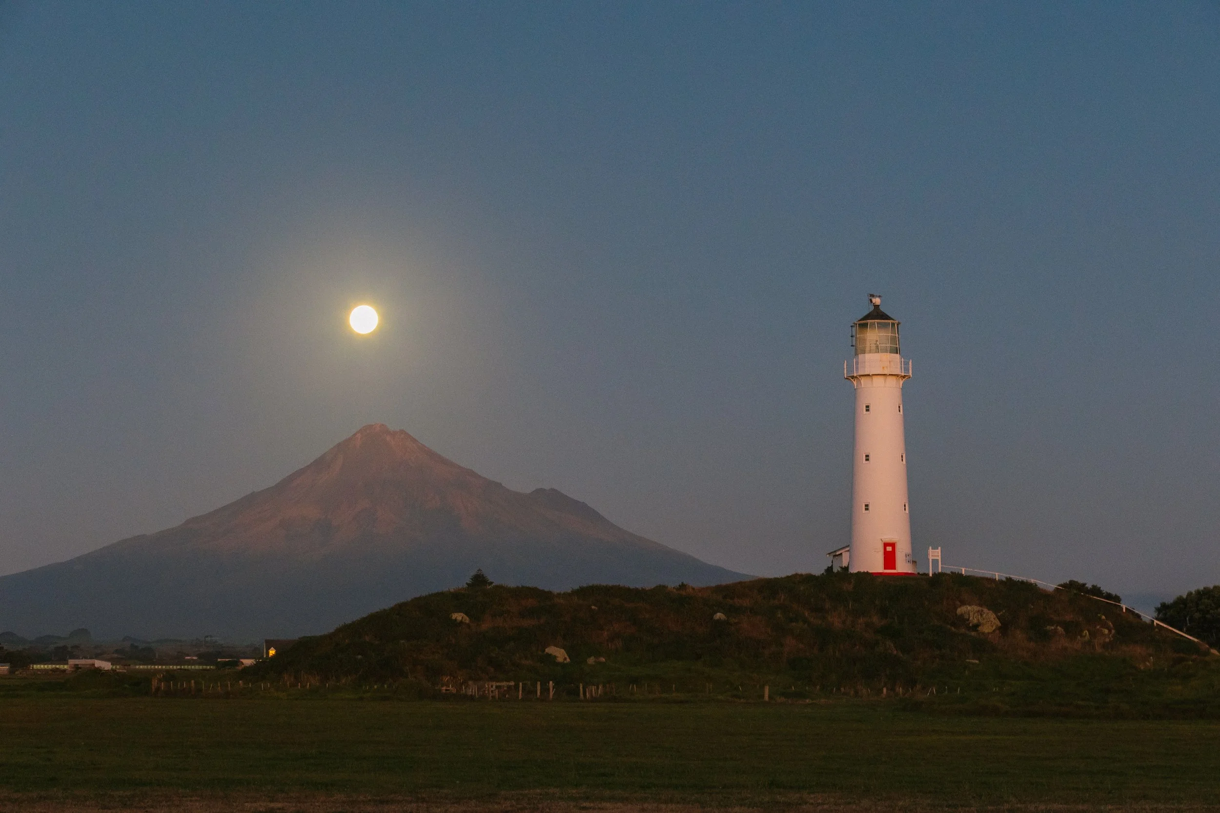
Mount Taranaki
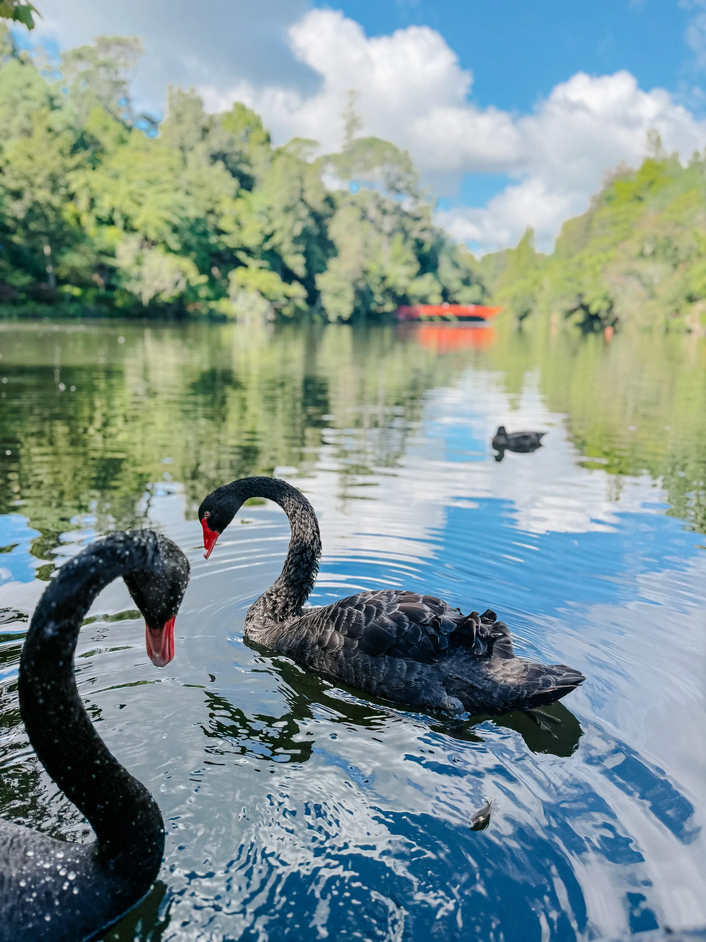
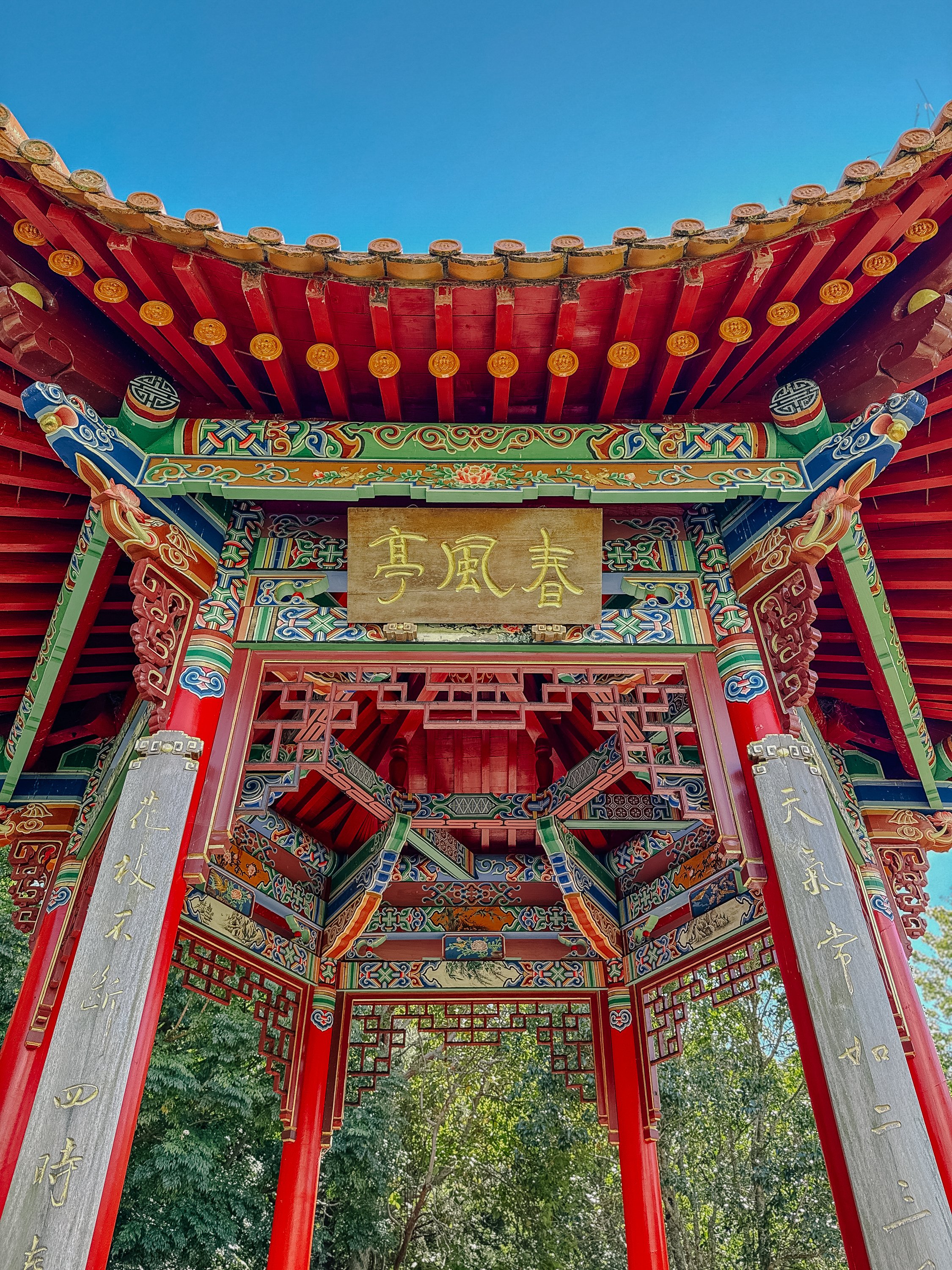
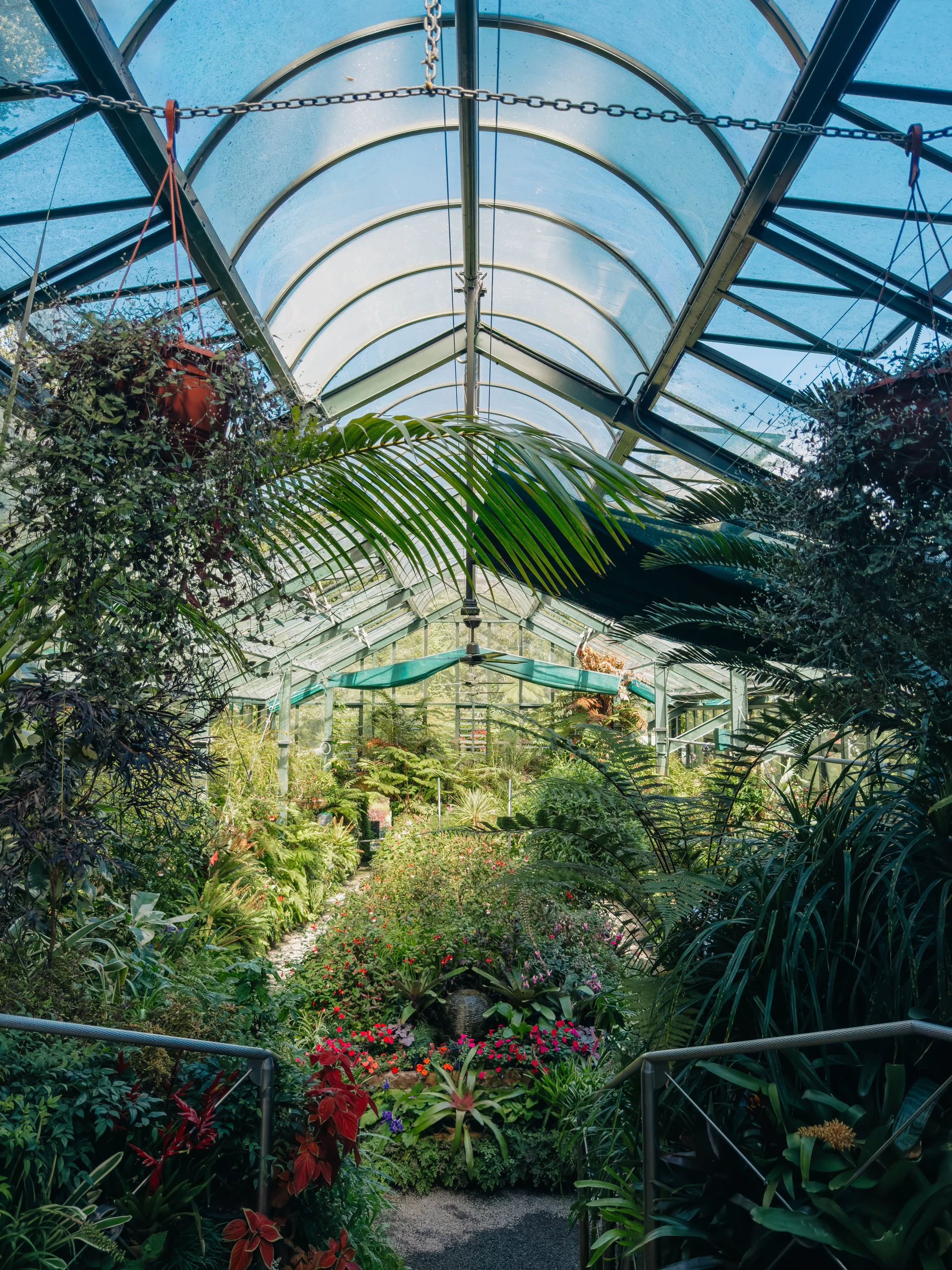
The following day, our friends took us to Pukekura Park, which quickly became another contender in New Zealand's ongoing competition for most impressive public garden. The sprawling 52-hectare park sits in the heart of New Plymouth and contains lakes, formal gardens, native forest, lawns, bridges, and the Bowl of Brooklands, a natural amphitheater used for concerts and events. We wandered past black swans on the lake, through landscaped garden areas and tree-lined paths, and eventually stumbled upon our favorite surprise of the day: the Fernery and Display Houses.Rather than a conventional greenhouse complex, the fernery consists of glass-topped caverns excavated directly into the hillside and linked by tunnels. The first chambers were dug by hand beginning in 1926, with planting underway the following year, and today the subterranean spaces hold thousands of ferns, orchids, begonias, and other plants. Entering through those hidden passages felt like discovering a secret botanical world beneath the park, and it was exactly the sort of strange little detail that made New Plymouth unexpectedly memorable.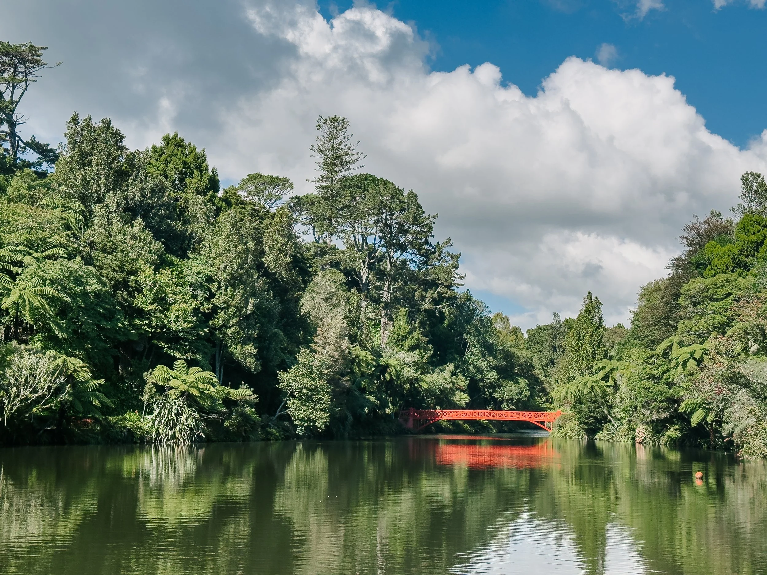
New Plymouth
New Plymouth
New Plymouth
New Plymouth
Raglan (Whāingaroa) & Hokianga
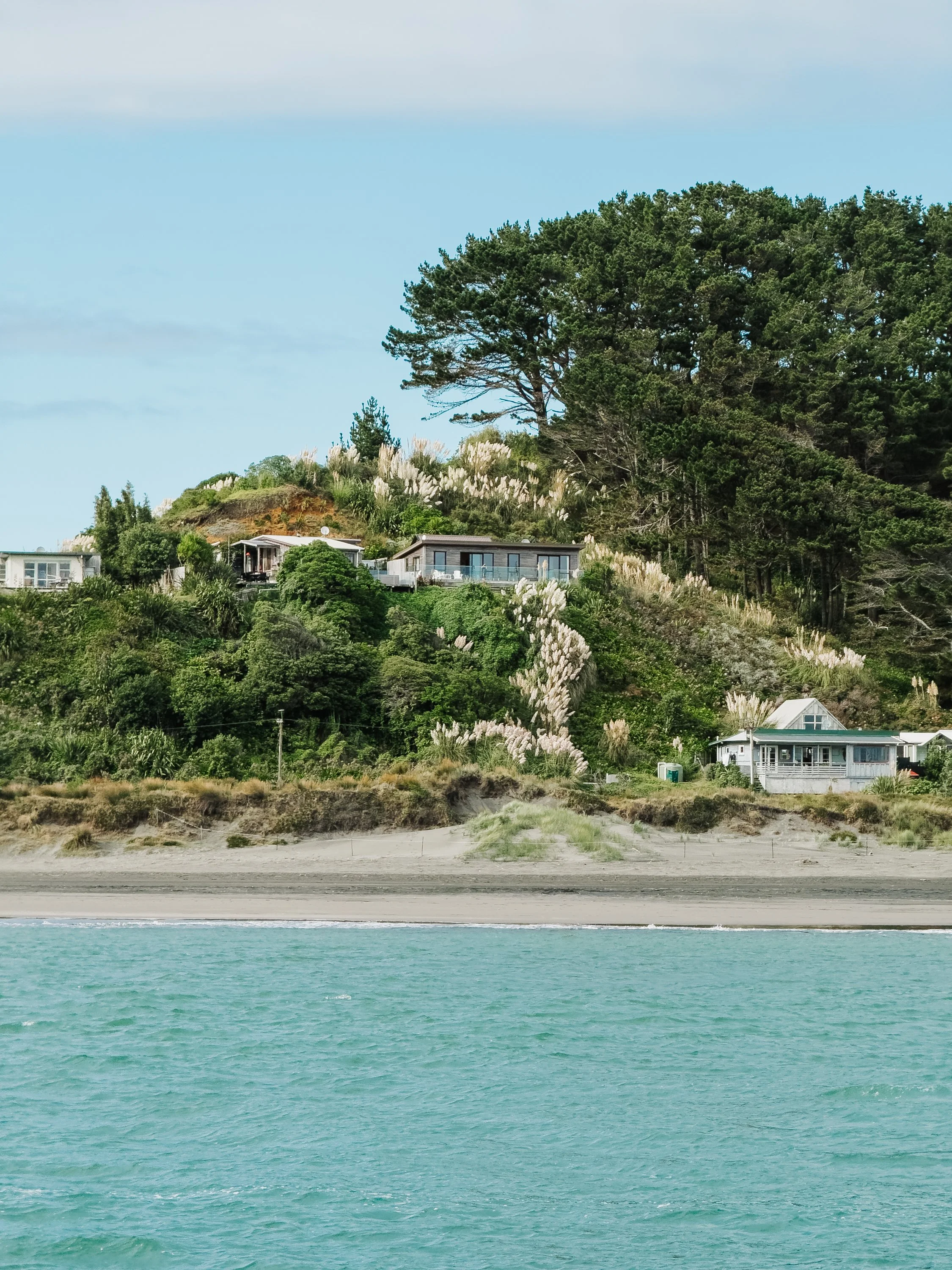
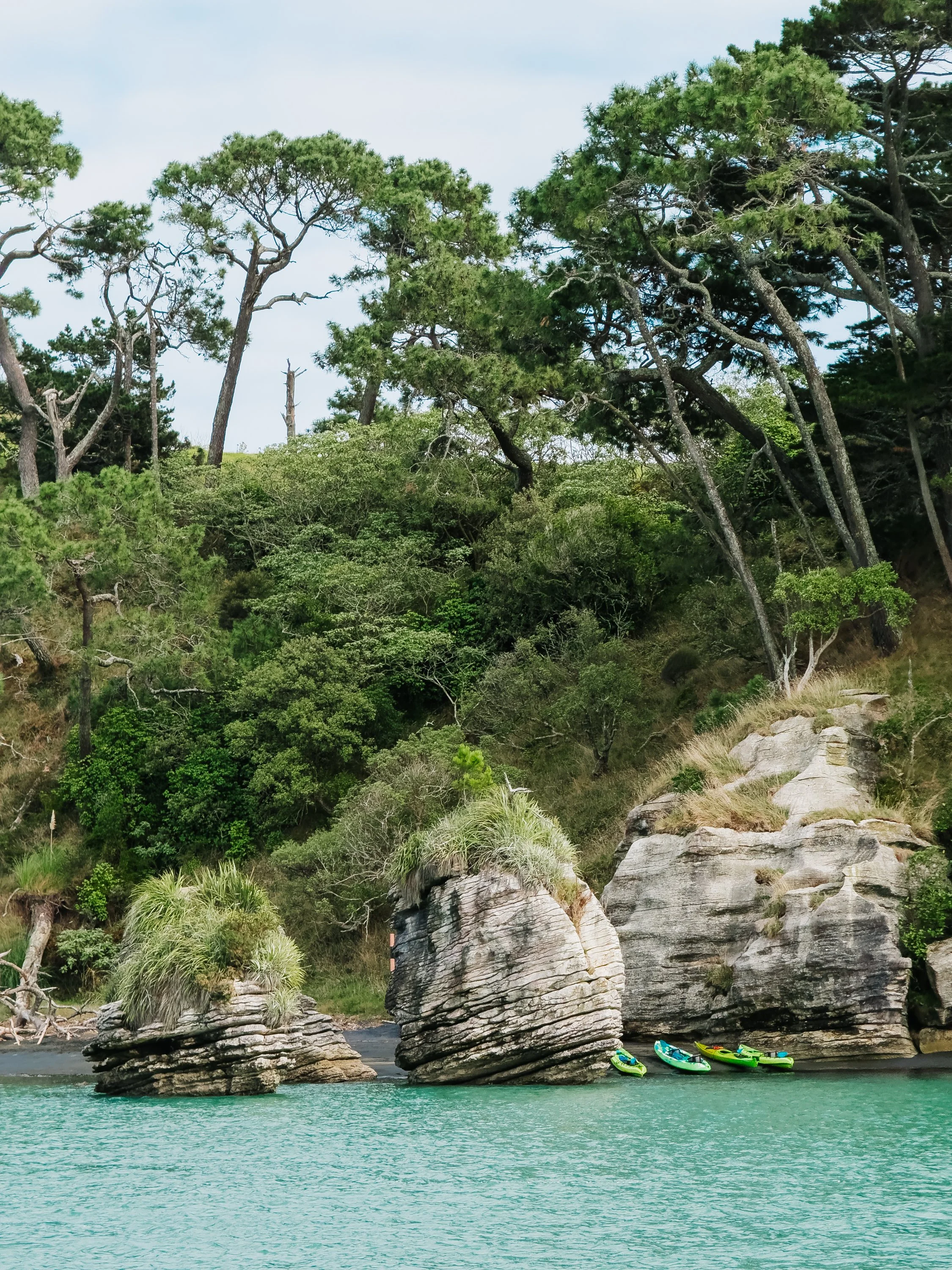
As we looked toward the next leg north, the forecast offered us something unusually favorable for the west coast: sustained easterly winds. The western side of New Zealand is exposed directly to the Tasman Sea and is renowned for its surf, which generally means the same conditions surfers celebrate are considerably less appealing to sailors looking for calm anchorages and easy harbor entrances. With easterlies holding down the usual west-coast swell for the foreseeable future, however, the opportunity was difficult to ignore.We decided to sail north toward Raglan and enter across the river bar there, something many cruising sailors seldom attempt. Bar crossings always demand respect, but after many entrances and exits of river bars along the west coast of the United States and atolls in the South Pacific, we felt comfortable with the conditions in front of us and confident in our ability to read the entrance carefully.Once inside the riverbar, we motored past the famed Pancake Rocks, which was a popular kayaking destination just across the river from town. We anchored in Cox Bay just off the warf with a popular fish and chips joint, where we once again met our friends who were roadtripping. As we wandered into town, we felt yet again like we had been transported to somewhere in California, as long-haired surfers of all ages and genders donned Billabong and Patagonia gear and flip-flops (excuse me, jandals). We wandered into several shops that had a true 70s aesthetic and feel to them as well. In the camper van we drove over to Ngarunui Beach, a popular surf and sunbathing destination. With autumn upon us, blooming pampas grass lined the walkway down to the beach, and we watched as surf lessons took place in the waves. After a day exploring the surf town, we bid farewell to our friends, and continued on. With news that a cyclone was forming near Fiji and forecasted to move down to the north island, we were now in a time crunch to make it to Whangarei before it hit.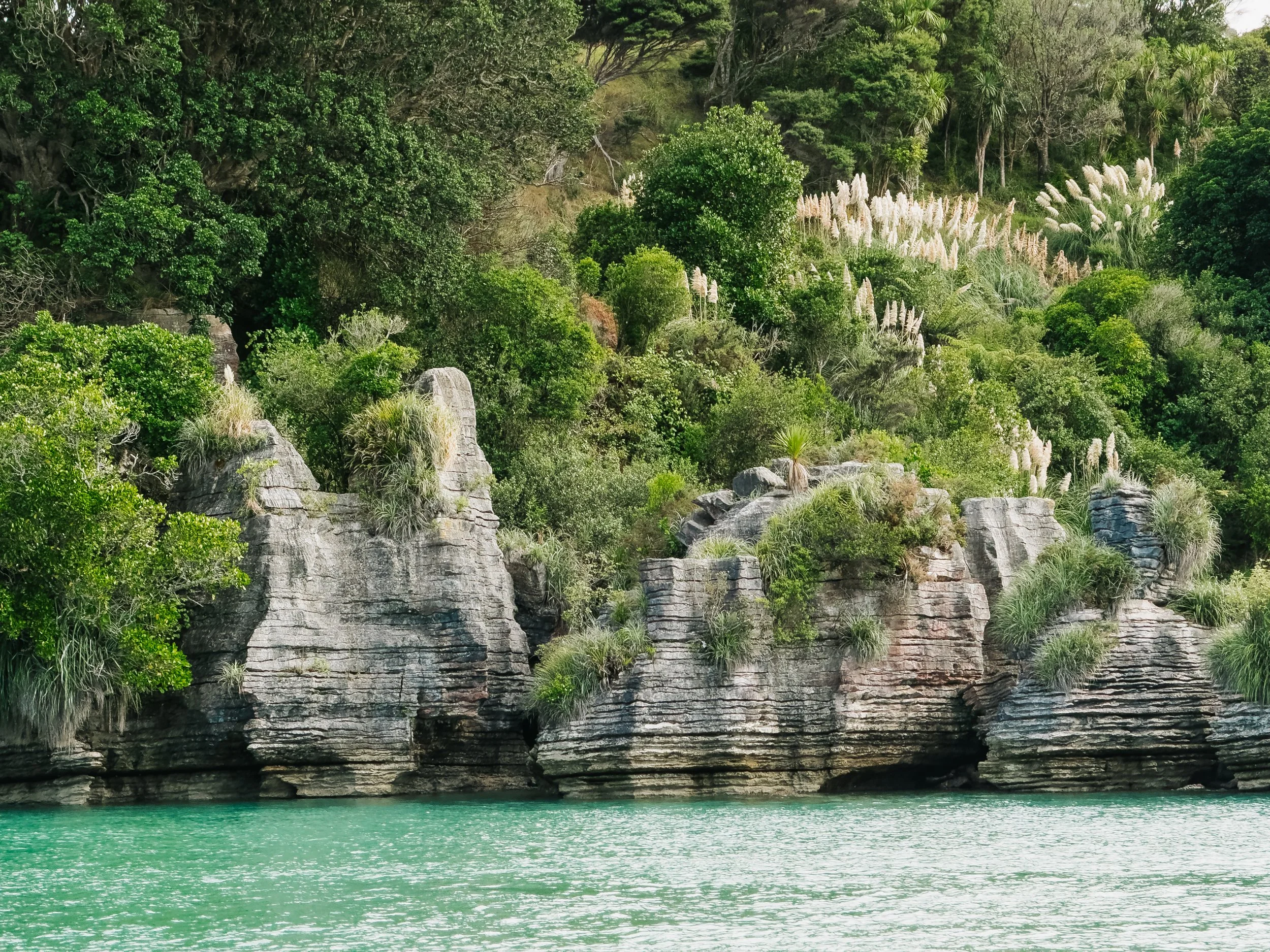
Raglan
Raglan
Raglan
From Raglan, we continued north toward Hokianga Harbour, tracing a coastline that had once been the route we intended to follow south months earlier. By now, however, the journey felt completely different. Rather than looking ahead toward a country we had barely begun to understand, we were returning north with five months of experiences behind us, recognizing landscapes, weather patterns, and pieces of New Zealand culture that had been entirely unfamiliar when we first arrived.We anchored near Opononi, an extremely small town in Hokianga Harbour that boasted yet another fish and chips joint, and a foursquare. We stopped in for provisions, knowing that we would likely be sailing for at least three days straight to make it to Whangarei before the cyclone was hitting the North Island. The next morning, we set off for our final push.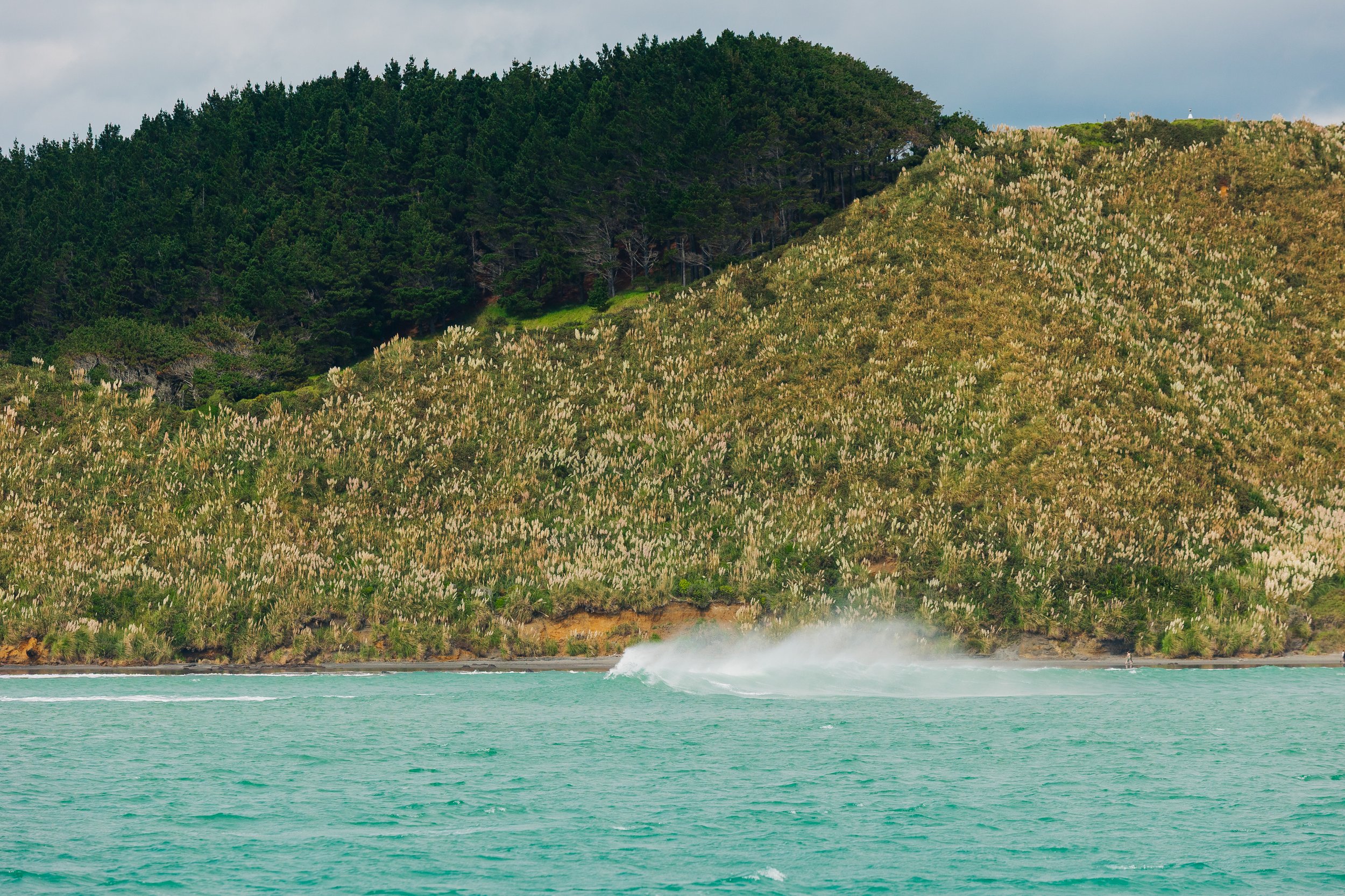
Raglan
That evening was a clear moonlit night, and we rounded Cape Reinga, this time from the sea. Months earlier, we had stood above those waters in the mist watching the Pacific and Tasman collide below us. Now we were passing beneath the same headlands aboard Arcturus, completing the loop in the most fitting way we could imagine. That morning Louie woke me to come see a sight he knew would excite me: we were sailing past Cape Brett Lighthouse once again, at the entrance to Bay Of Islands. This meant our circumnavigation was officially complete, we rejoiced at what a momentous feat this was.The following evening, we made our way into Marsden Cove at Whangarei around 2 o’clock in the morning, happy to know we were finished sailing for a while. We would weather out the cyclone in the protected harbor, and the following week haul the boat out of the water in preparation to head back to Alaska for a 6 month sabbatical of the sailing trip.Every Corner, Another New Zealand
Over five months, the North Island had revealed itself in fragments: mist and sand dunes at Cape Reinga, historic harbors and forested islands in the north, hot springs and mountain trails on Aotea, vineyards on Waiheke, the maritime bustle of Auckland, volcanic coastlines, an Art Deco city reshaped by an earthquake, and eventually the surf-worn western edge we had once intended to sail first. Woven throughout was the rich Māori culture and heritage, which we felt informed our each and every step. We felt very proud and humbled to have circumnavigated the North and South Islands, the world's 14th and 12th largest islands respectively.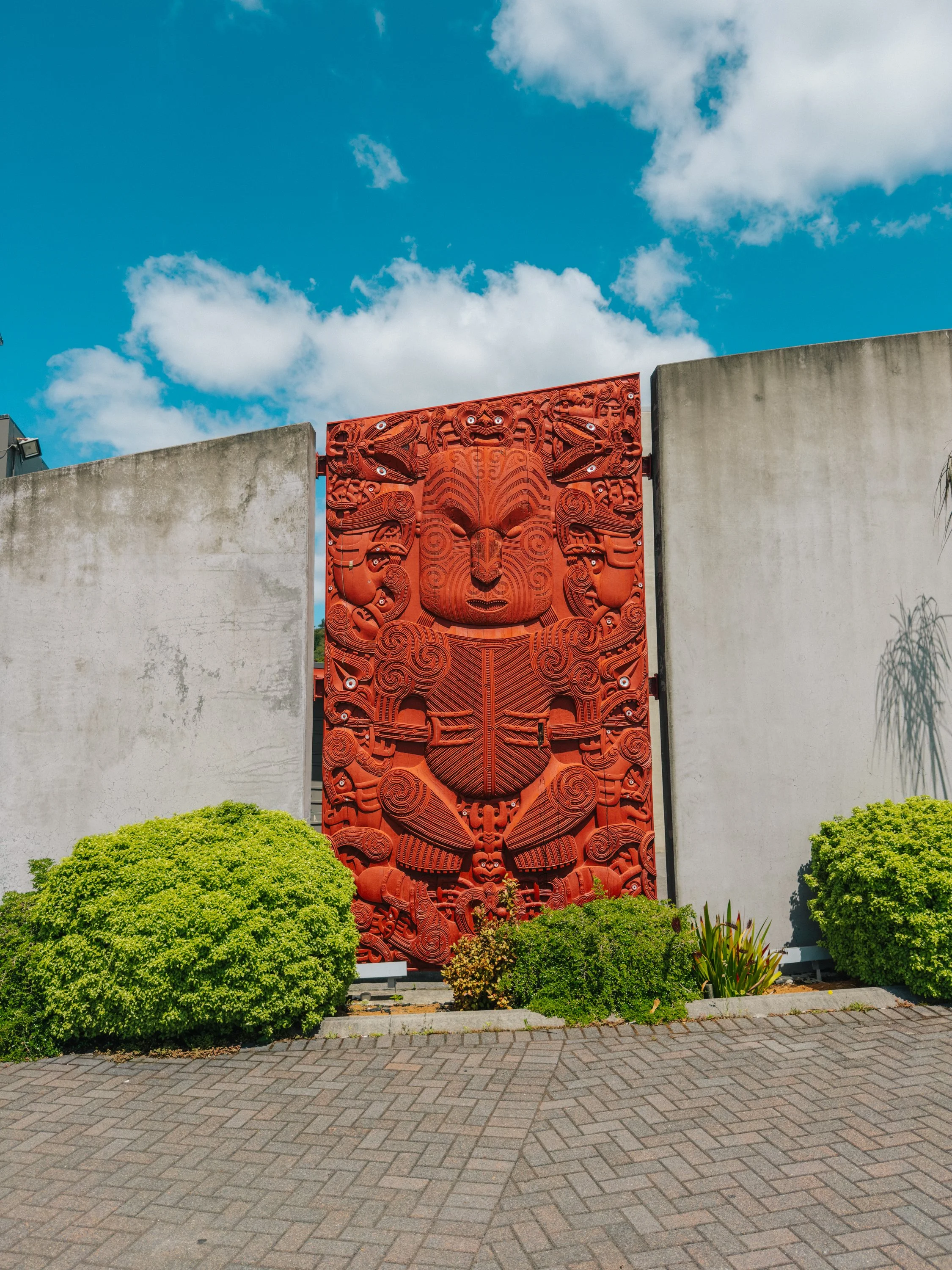
MAori Art
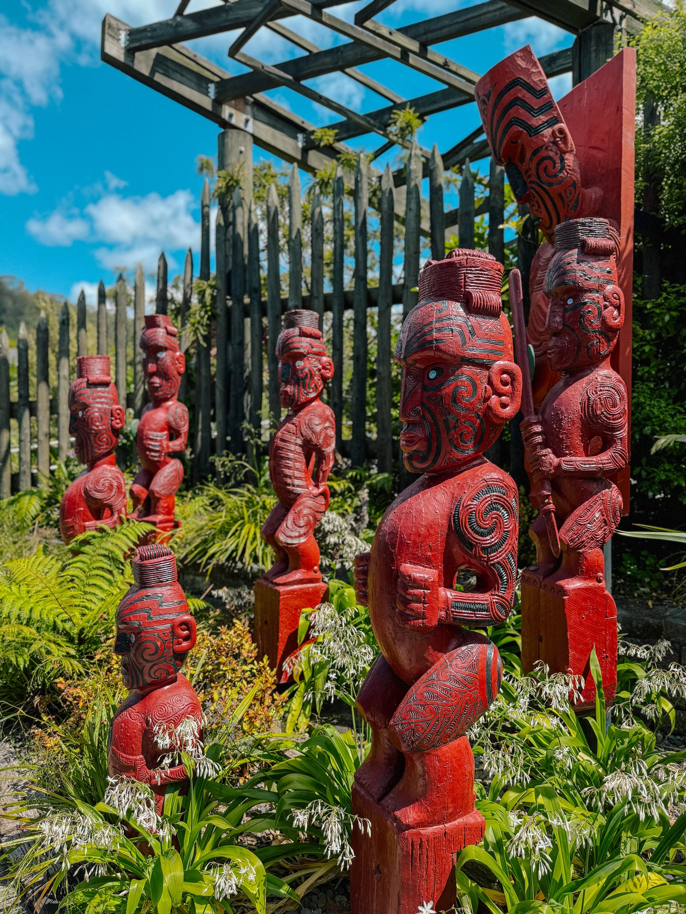
MAori Art
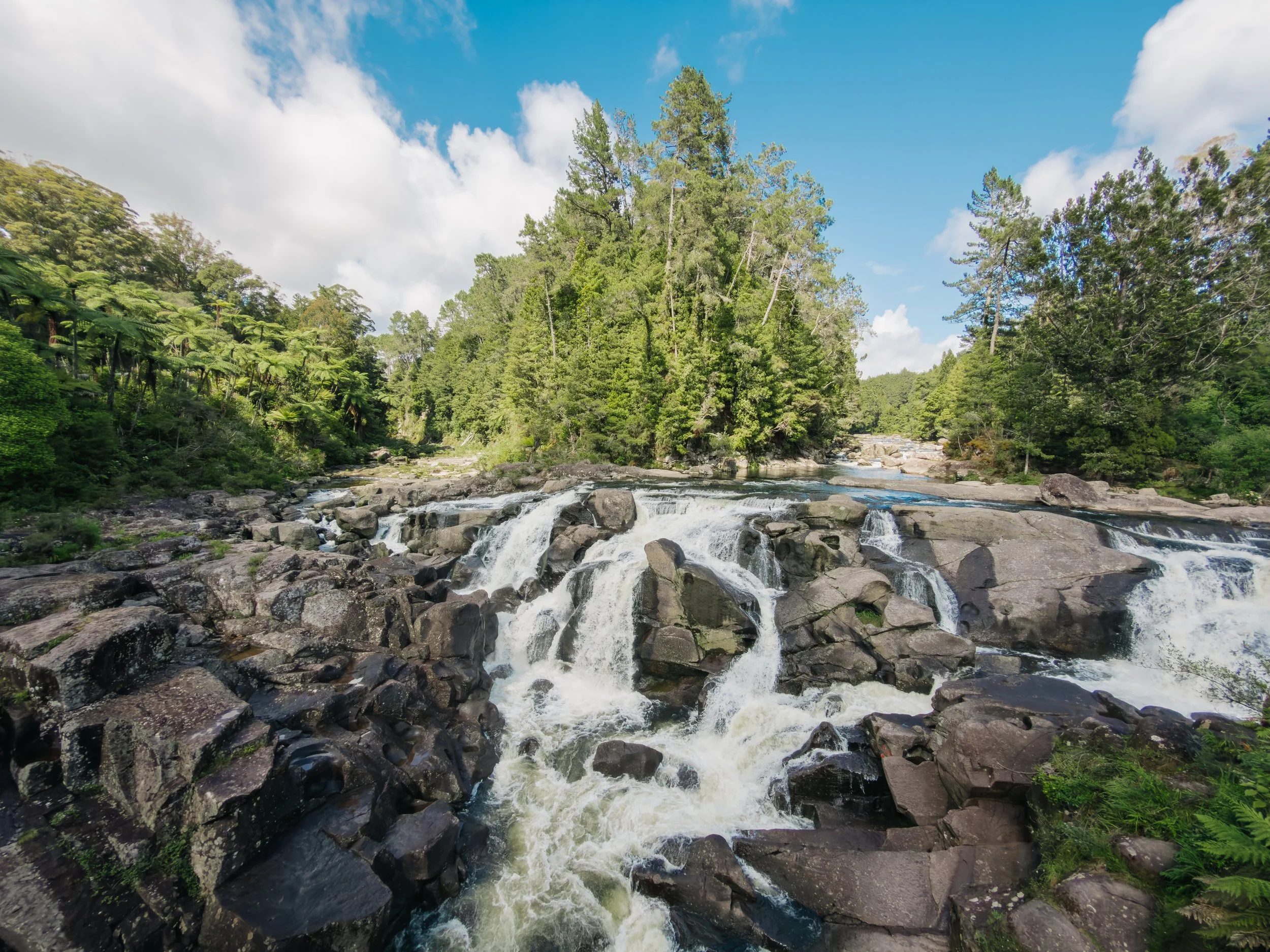
McLaren Falls
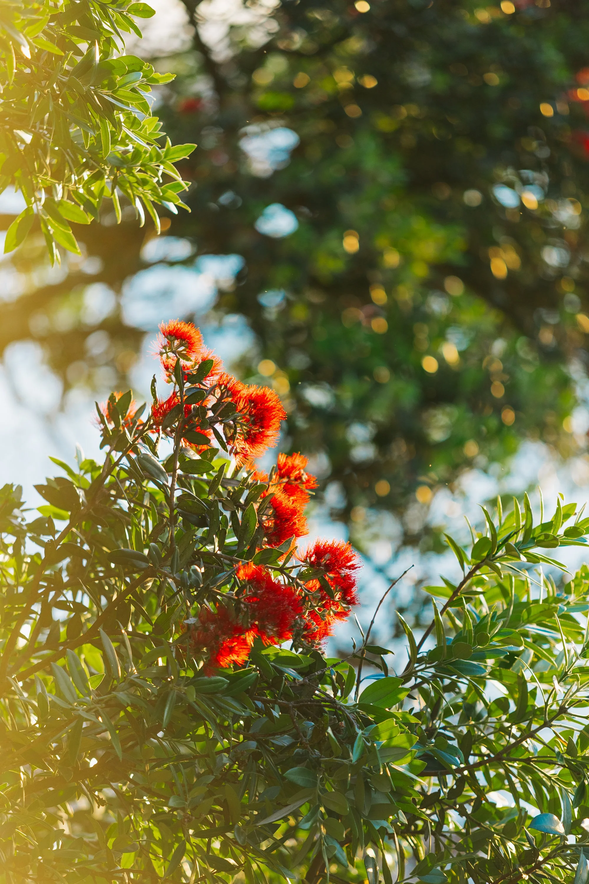
Pohutukawa: “NEw Zealand Christmas Tree”
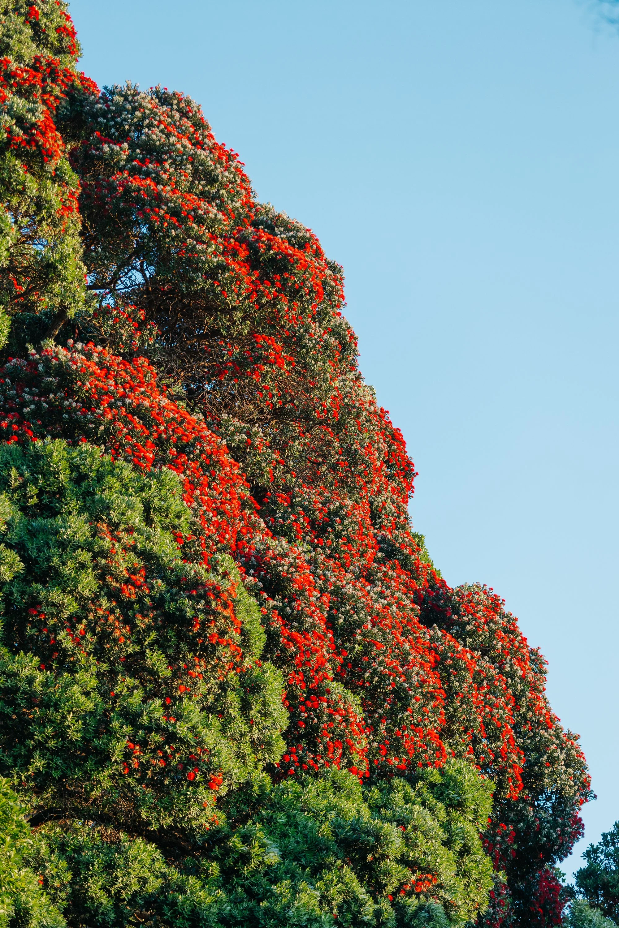
Pohutukawa: “NEw Zealand Christmas Tree”
What began as a relatively straightforward route became something far more interesting. Weather repeatedly rewrote our plans, carrying us toward places we had barely researched and coastlines we might otherwise have missed. That became one of the recurring gifts of sailing New Zealand: every change of course seemed to reveal another version of the country.Adventures, Words & Photos by Lerina Winter & Captain Louis Hoock
Originally Published: October 17th, 2026
See Where S/V Arcturus is now on No Foreign Land:


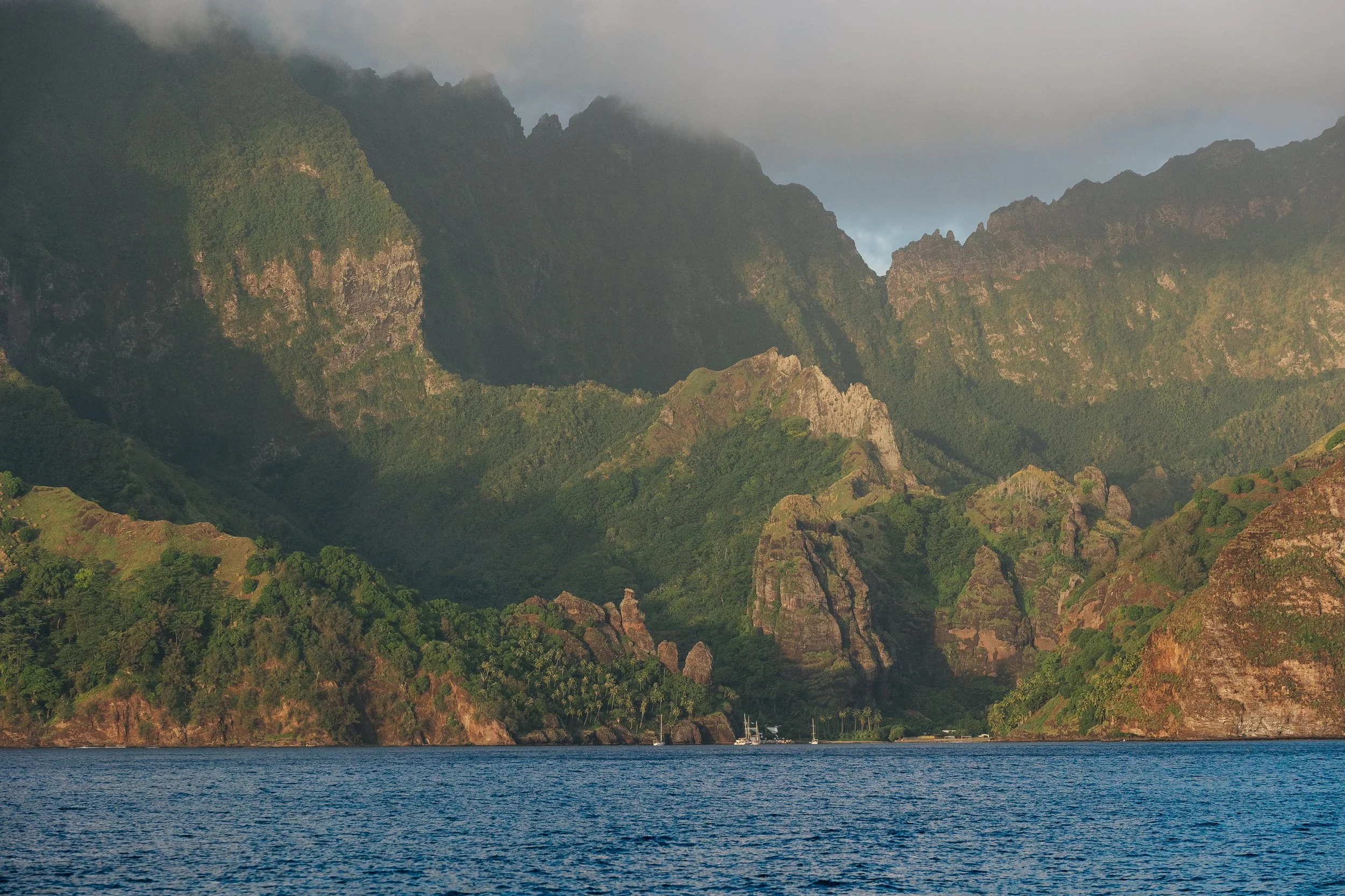
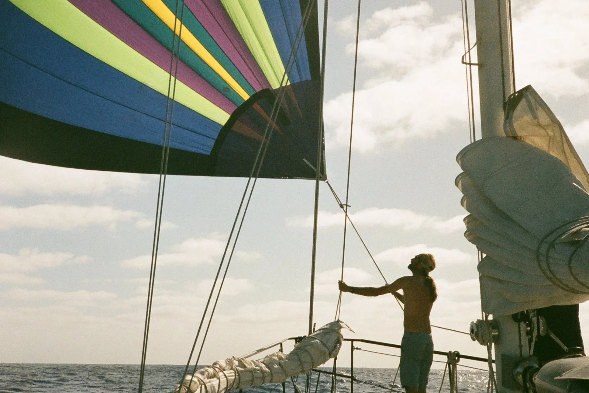
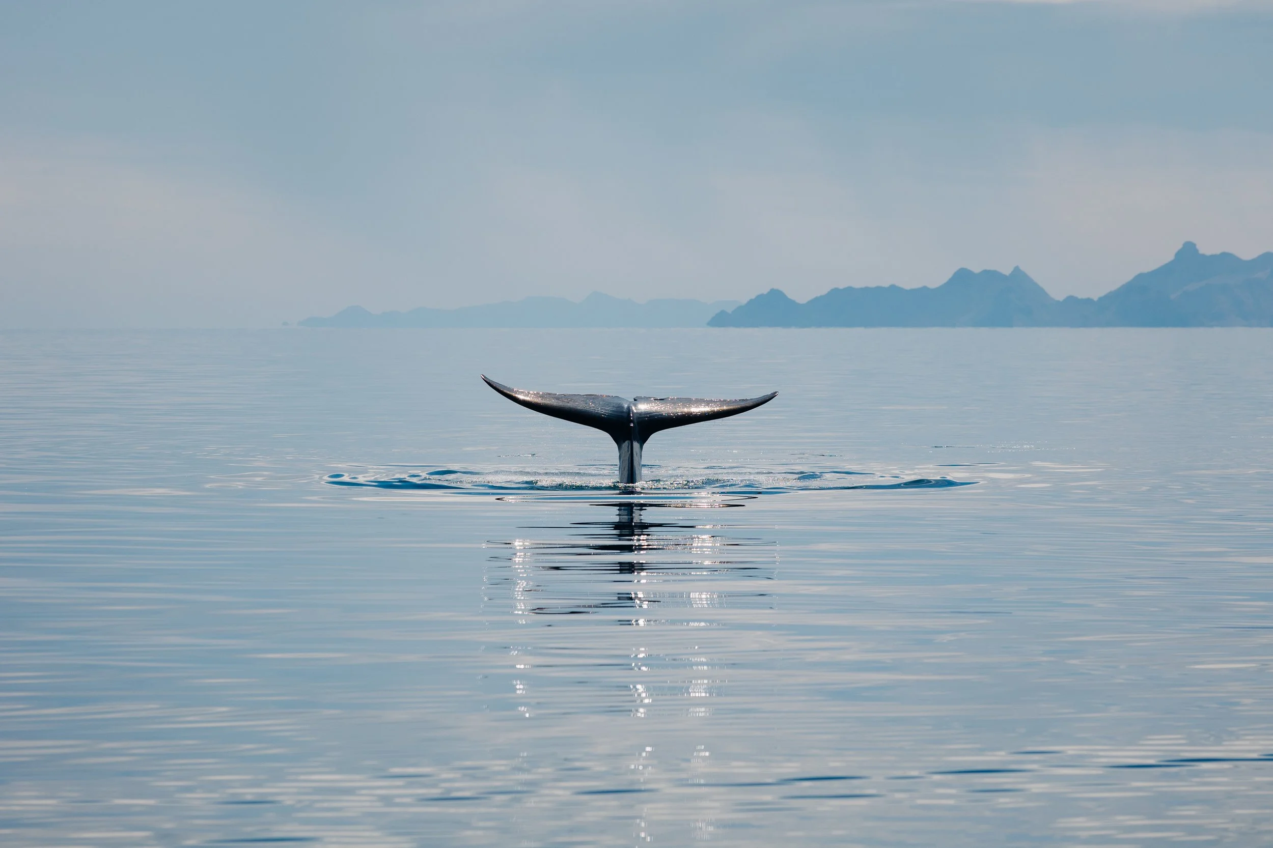
After months spent wandering through the warm reaches of the South Pacific, New Zealand (Aotearoa) felt like a threshold into an entirely different world. Gone were the coral-ringed atolls and palms leaning over turquoise lagoons. In their place rose green hills, forested headlands, cooler blue-grey seas, and sheltered coves tucked beneath mountains. The weather seemed to carry a temperament of its own, changing from sunlight to rain and back again before we had time to put away our jackets.